Smith’s Knob & New Trail Brewing Co.

Williamsport, PA

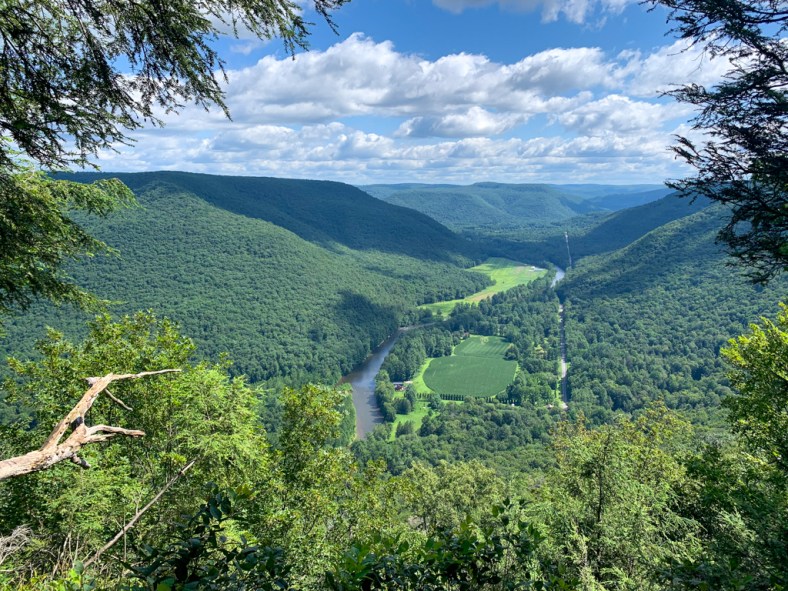
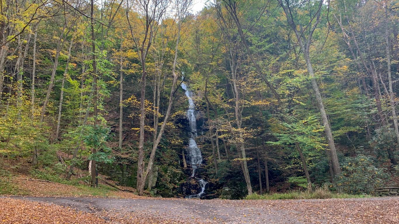
My first trip to Loyalsock State Forest took us to a beautiful but strenuous hike to Smithโ€™s Knob Vista. The steep rocky ascent pays off for a beautiful view of Loyalsock creek and the surrounding valley. Definitely bring your trekking poles for this one! Afterward, drive back into Williamsport for a pint at the enormous New Trail Brewing, which is all about spending quality time outdoors and making great beer.

THE HIKE:ย Smith’s Knob via Loyalsock Trail

Length: 5 miles
Elevation Gain: 1312 ft
Difficulty: Hard
Time:ย 2.5 hours
Trail use: Hiking, trail running, leashed pets
Parking: Large lot at trailhead

Background 

This day hike gives you just a taste of the 59 mile backpacking trail through Loyalsock State Forest. The trail, established in 1951, is a challenging trek through rugged terrain. Itโ€™s maintained by the Alpine Club of Williamsport which has a guide to the trail available for purchase on their website. If youโ€™re interested in the backpacking trail, Endless Mountains has an excellent guide on their website. 

Loyalsock State forest is one of the 20 state forests in the state of Pennsylvania. It spans over 114,000 acres across Bradford, Sullivan and Lycoming counties. It makes up part of the Endless Mountain region and is made up mostly of hardwood forests. Itโ€™s named for the scenic Loyalsock creek that runs through the center of the forest. 

Thereโ€™s more than 200 miles of hiking in the Loyalsock State forest but the most popular is probably the backpacking trail. Thankfully, there are several parking access points so itโ€™s also accessible for day hikes!

The Hike

Parking: 41.3566320056887, -76.85942897194258

The day hike to Smithโ€™s Knob starts near the Western terminus of the Loyalsock Trail. The parking lot can be found on Little Bear Creek Road, access off Route 87 just north of Williamsport. Little Bear Creek Road is quite narrow and not paved, so a car with a higher suspension is recommended. My little Honda Fit would not have made this trail! The parking lot is very large but there are no bathroom facilities so plan accordingly.ย 

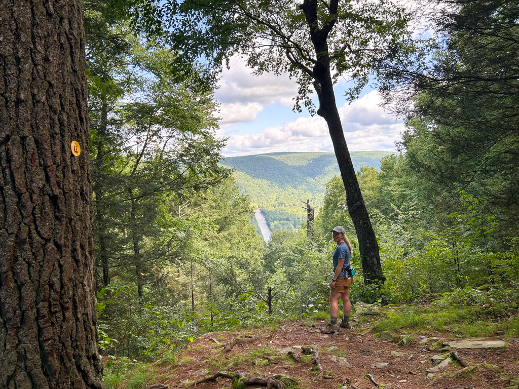
The trailhead can be found across the gravel road and is clearly marked with a โ€œLoyalsock Trailโ€ signpost. Throughout this hike, the trail is noted by small metal discs on trees with a red LT emblazoned on a yellow background. The trail ascends up a hillside and quickly encounters a clearing with a large industrial garage, likely for forestry equipment. Bear to the left and meet up with the trail again. The first mile or so is by far the most difficult hiking weโ€™ve done in a while. We took many breaks and needed lots of water and fuel. And of course a pair of trail runners zoomed by us to really put us in our place! After about 0.5 miles of steady incline, youโ€™ll reach the first of many viewpoints. This charming vista is known as Helenโ€™s window and while not the most impressive view, itโ€™s still a nice spot to catch your breath.ย 

Continuing onward for another half mile brings you to a trail intersection. Stay straight on the Loyalsock Trail but note that the trail youโ€™re crossing over is the Smithโ€™s Bypass trail and itโ€™s the one youโ€™ll eventually be coming back along. Now comes the steepest and most difficult part of the trail. The last ascent to the Knob is incredibly rocky and there is no shame in needing all four limbs to get yourself up there! When you finally ascend to the top and catch your breath, there are a couple viewpoints. To the right is a grassy area that is lovely for a quick rest. The views arenโ€™t spectacular but the grass is delightful to rest in. From there, a bit further along the trail is a large campsite used by backpackers. Just past the trail to the left is the Smithโ€™s Knob overlook and it is by far one of my favorite vistas that weโ€™ve encountered. Iโ€™m not sure if it was having the place to ourselves or the sheer effort it took to get there, but this place just really got to me. We stayed here for a while enjoying the view of the creek below and shockingly being able to hear a childrenโ€™s soccer game somewhere in the distance.ย 

From the overlook, continue along the LT as it descends from the Knob. Once again, it can get pretty steep so take your time! I definitely am known to go down steep sections on my butt. A tried and true technique! From here, the next mile is a lovely peaceful trek through soaring trees. We didnโ€™t see another person the whole time! Eventually the trail meets up with the bypass trail and youโ€™ll leave the Loyalsock trail. Be aware that the bypass trail is marked with a yellow circle and a red X. I didnโ€™t know this before going and was worried that we werenโ€™t supposed to be on the trail! But never fear this is the way to complete the loop back. This trail is much wider and flat, more like a rustic road. Because of this there are more sunny spots and it can get quite warm. Following the red xโ€™s will bring you back to the intersection with the Loyalsock trail. Take the left turn to head back to the parking lot!ย 

THE BEER:ย New Trail Brewing Company

Address:ย 240 Arch St building 18, Williamsport, PA 17701
Distance from Trail Head:ย 27 mins, 19 miles
Website:ย http://www.newtrailbrewing.com/
Food?:ย Food Trucks
Details: Outdoor seating, dog friendly

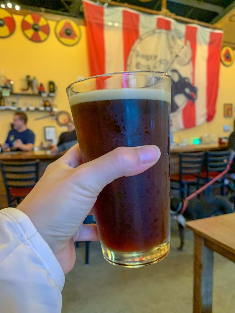
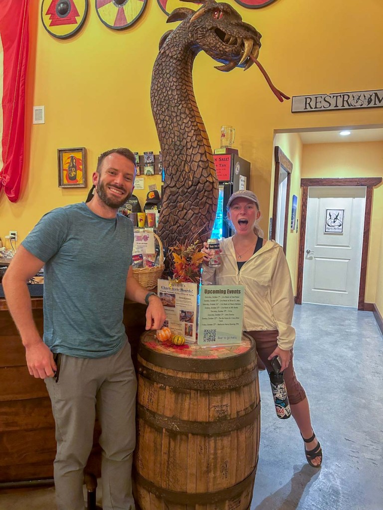
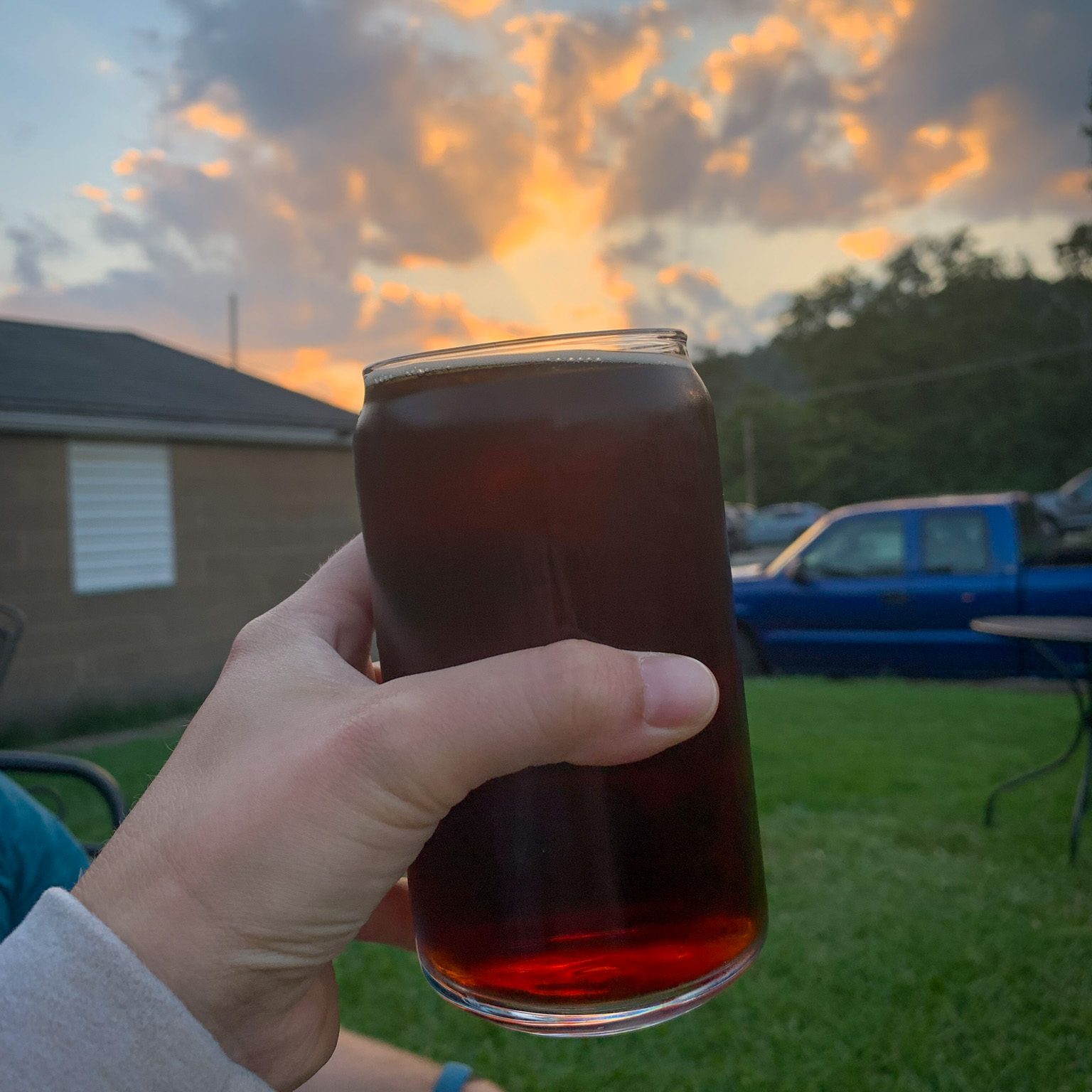
New Trail brewing company is pretty much the perfect brewery to pair with a hike because of their strong dedication to the outdoors. All of the original founders are avid outdoorspeople and established the brewery in order to make good beer and get people outdoors! New Trail Brewing is located in Williamsport, which is an access point for so many of PAโ€™s fantastic state parks and forests. In fact, New Trail brewing has frequently worked with and supported conservation and trail organizations across PA. I love seeing breweries doing the good work!ย 

From the hiking boot print in their logo to the enormous map of the state forests surrounding WIlliamsport, I loved how much of this brewery was dedicated to the great outdoors. You can tell how much the owners care about their town and introducing people to the great outdoors. It also helps that the beer is pretty dang good too! In fact, New Trail has been working with the PA Parks and Forests foundation to put out a series of PA State Park themed beers which is not only super cool but proceeds are also going right back into the parks. I hope to see more partnerships like this with breweries across PA and beyond!

Our Beer:

  • Blackberry Lemonade – Sour – 5%
  • Rocksylvania – Hazy IPA – 7%
  • Broken Heels – Hazy IPA – 7%
  • White Ale – Wheat Beer – 5.5%

Erie Bluffs & Twisted Elk Brewery

Lake City, PA

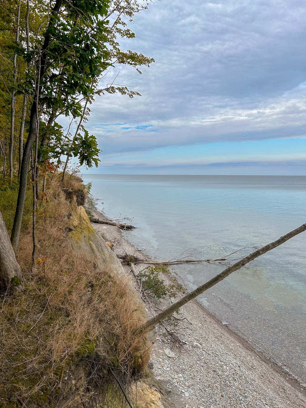
A day in Erie, PA is the perfect September weekend trip from Pittsburgh! Itโ€™s only 2 hours away and boasts beautiful state parks and excellent breweries! My favorite stop was at Erie Bluffs State Park in Lake City just a few miles outside of Erie. This park boasts one mile of undeveloped shoreline with 90ft cliffs overlooking the water. After a morning exploring the bluffs, check out Twisted Elk Brewing for brunch on Saturdays and Sundays! In addition to a full menu of brews and cocktails, they also have a huge brunch menu. I recommend the elk sausage and biscuits!

THE HIKE:ย Erie Bluffs Loop

Length: 3.2 miles
Elevation Gain: 217 ft
Difficulty: Moderate
Time:ย 1-1.5 hours
Trail use: Hiking, Running, Biking, Leashed Pets
Parking: Large Lot at trailhead, vault toilets
H&H:ย 5/5

Most people automatically think of Presque Isle State Park when planning a trip to Erie, PA. And while Presque Isle is an awesome spot, it can get quite busy (over 4 million per year!). If youโ€™re looking for a more secluded outdoors space nearby, I highly recommend Erie Bluffs State Park! While this park doesnโ€™t have the sandy beaches that the cross love at Presque Isle, thereโ€™s still a lot going for it! Important to note: there is no swimming at this park!ย 

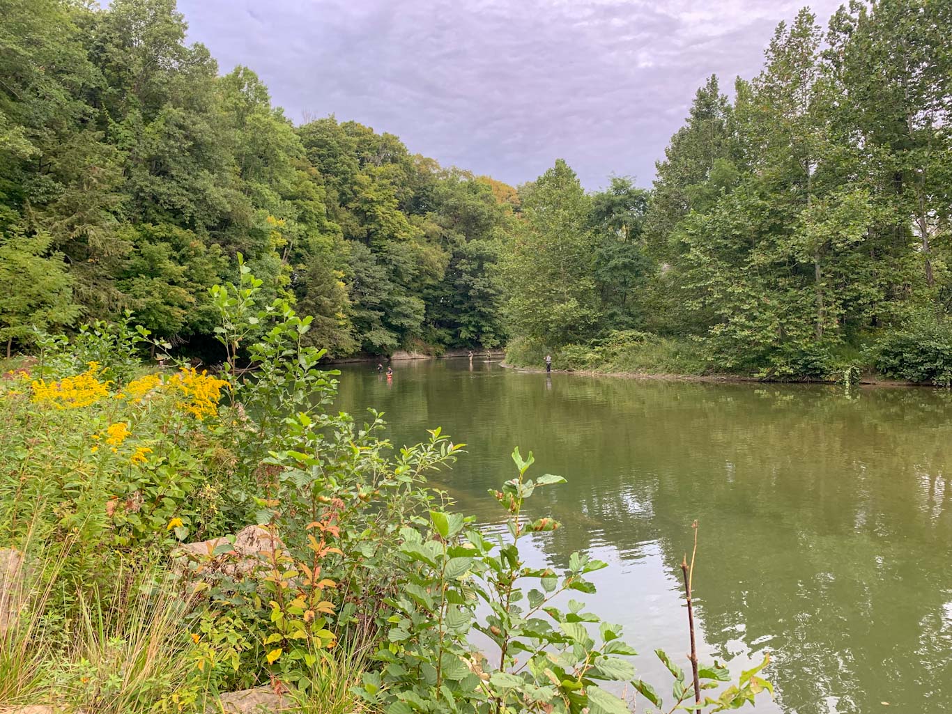
Erie Bluffs State Park encompasses about 580 acres of undeveloped land about 12 miles west of downtown Erie. In fact, the only developed areas are the creek access spot and the main parking area! Although this is a popular spot for fishing, you can easily find solitude in the woods. According to the Department of Natural Resources website, there are 5.16 miles of wooded trails, although I believe that there are some newly made trails that arenโ€™t yet reflected on the map. Thereโ€™s very little elevation gain aside from a steep incline from the parking lot. These trails are popular with hikers and mountain bikers and are even open year round to cross country skiers and snowshoeing. Most of the trails vary from easy to moderate so this is a great spot for hikers of all levels. I also think it would be a great spot to bring little hikers!

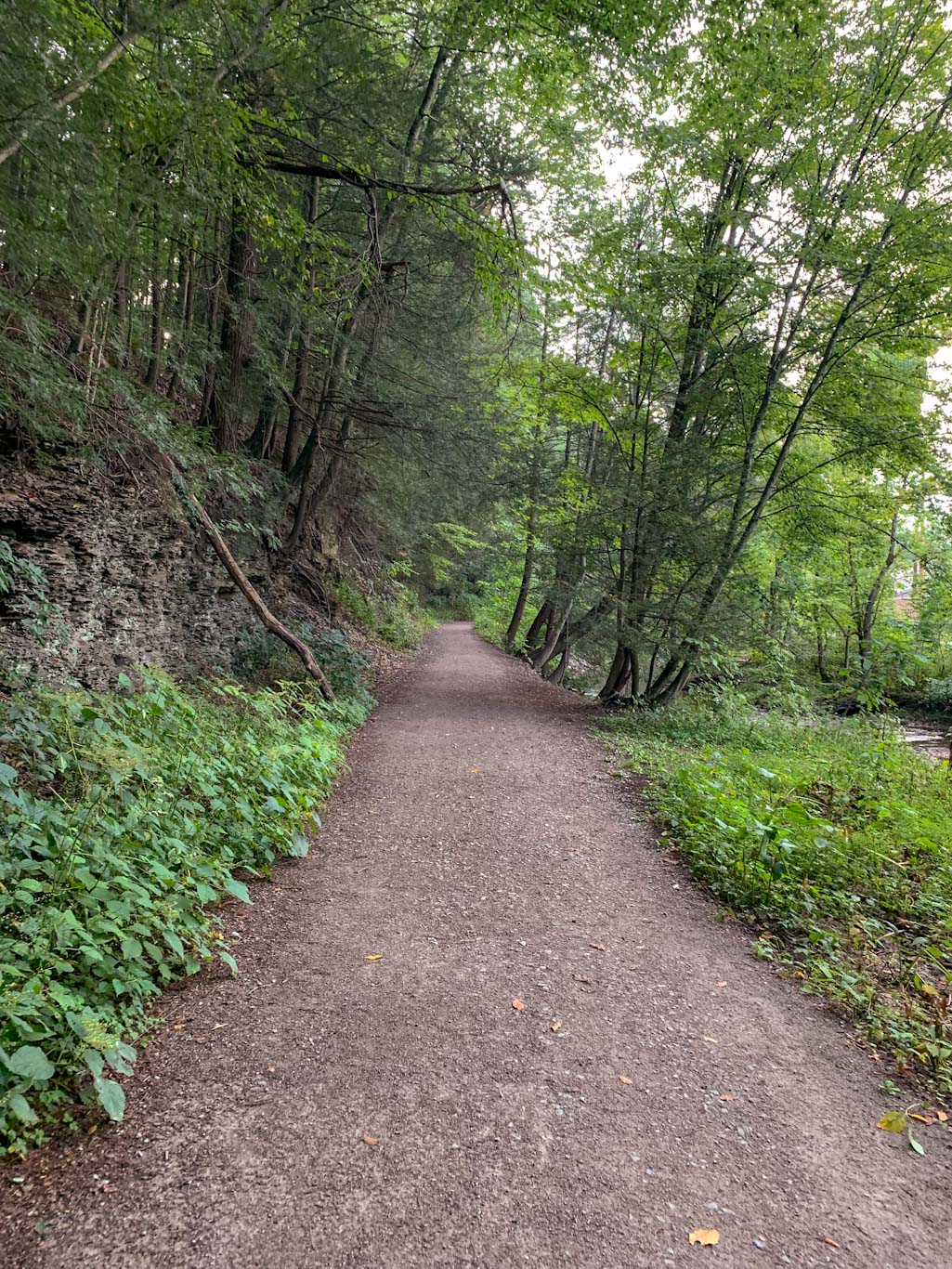
Our 3 mile route followed a combination of trails following this loop on Alltrails. Iโ€™ve done a LOT of hiking this summer and I have to say that this was one of my favorites that weโ€™ve done. I couldnโ€™t believe how beautiful the shoreline was! The photos speak for themselves. I also really appreciated the varied landscape that this route took us through. From shoreline, to woods, to open fields, this really was a delight. As always, bring bug spray and be aware that it can get quite sunny in spots. 

Erie Bluffs is actually a fairly recent addition to the PA Parks system. It was acquired from the Western PA Conservancy in 2004 and then became the 117th state park. Despite its size Pennsylvania only has 51 miles of shoreline along Lake Erie. So the experience at Erie Bluffs is truly unique for the state. Itโ€™s easy to image that you are looking out over the ocean when youโ€™re here!

THE BEER:ย Twisted Elk Brewery

Address:ย 10139 W Lake Rd, Lake City, PA 16423
Distance from Trail Head:ย 1.9 miles, 4 minsย 
Website:ย http://www.twistedelkbrewery.com/
Food?:ย Full Menu
Details: Outdoor seating, cocktail menu

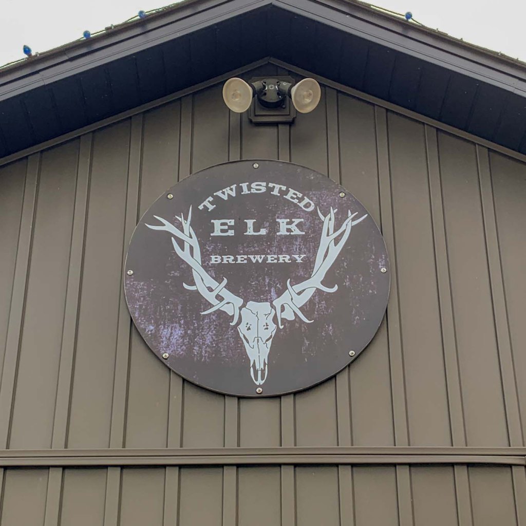
Just barely two miles away from Erie Bluffs State Park is one of the newest members of Erieโ€™s Brew scene. Twisted Elk Brewery managed to successfully open during the pandemic and has been serving top notch beer ever since! The owners pride themselves on always making a high quality product and working with local farmers for as many of their ingredients as possible. 

The brewery is a modest size but still serves up a large taplist of headliners and seasonal specials. You can also order from their large cocktail menu or get a house-made hard seltzer. Stay for a while and order from their full kitchen menu that includes local favorite like elk burgers! We were really impressed with this small establishment and were easily tempted into ordering brunch despite packing our lunches for the day. Somehow our kale salads couldnโ€™t compete with a piping hot dish of homemade elk sausage gravy and biscuits! And it was surprisingly affordable too, a win/win. 

We highly recommend including a stop at Erie Bluffs State Park and Twisted Elk on your next visit up to Erie County!

Our Beer:

  • Elktoberfest – Marzen – 5%
  • Elk Creek IPA – American IPA – 5.5%
  • Apple Pie Ale – Fruit Beer – 5%

Duff Park & Devout Brewing

Murrysville, PA

Despite having driven down Route 22 many times, I never knew a beautiful park was tucked in the woods just off this major road. Duff Park is a peaceful natural area with bike trails along a stream and single track trails meandering through the woods. Itโ€™s a designated plant sanctuary and the fall wildflowers are beautiful right now! After a walk through the woods, check out Devout Brewing just up the road. They have a delicious Marzen on right now and a sweet potato beer coming soon!

THE HIKE:ย Duff Park Outer Loop

Length: 3.4 miles
Elevation Gain: 525 ft
Difficulty: Moderate
Time:ย 1.5 hours
Trail use: Hiking, Running, some sections open to bikes
Parking: Large lot off School Rd

Duff Park is a 220 acre wooded park east of Pittsburgh and is located just off Route 22. It is owned and managed by the Municipality of Murrysville with help from the volunteers at Murrysville Trail Alliance and the Friends of Murrysville Parks.ย 

The park includes 1.5 miles of flat bike trail along Turtle Creek. There is also a bridge connecting this trail to the large Westmoreland Heritage Trail, so this is a great place for biking, running, and for those with limited mobility. The rest of the park features hilly single track trails that meander up the hillside. There are about 7.5 miles of trails in the woods, so thereโ€™s plenty of space to get a nice long hike in! Duff park is also connected by a trail to Pleasant Valley Park. I havenโ€™t been to Pleasant Valley Park but from what Iโ€™ve read, itโ€™s very peaceful but a bit more remote feeling than Duff Park. Iโ€™ll have to check it out for myself though! 

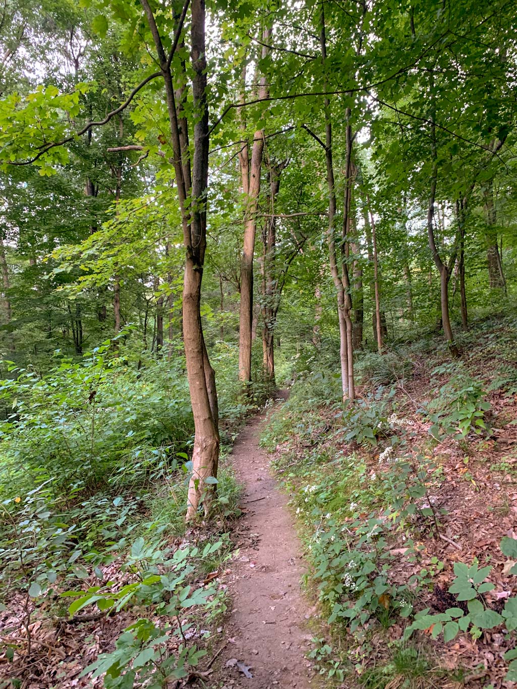
We visited Duff Park on a Friday after work as part of the Oboz Trail Experience to do this 3.4 loop. I was blown away by how beautiful the place was despite being so close to a major road. Of course, this does mean that the road noises can be quite loud. But frankly, they faded to the background for me as we hiked along Turtle Creek, admiring the clear water and reading the signs identifying the trees along the way. This part of the trail was flat and very easy to follow. Eventually the outer loop leaves the Funk Bikeway trail to switchback up the hillside on the Forbes trail. This was definitely a section that got our hearts pounding! The trail continues to be moderate difficulty as you turn onto the Sumac trail. We hardly saw anyone else on these sections and being further away from the traffic noises really made for a peaceful hike. The trails were all very clearly labeled and we had no problem eventually completing the loop and finding ourselves back at the parking lot.ย 

I would definitely visit this park again! It does seem to be pretty popular so parking could be an issue on the weekends. There are port-a-potties in the parking lot and also picnic tables under the pavilion. I also really appreciated the large interpretive signs discussing the local flora and fauna. We will definitely have to visit in the spring as this park is a designated wild plant sanctuary! Perhaps it will be a new favorite place for spring wildflowers.ย 

THE BEER:ย Devout Brewery

Address:ย 1301 Pontiac Ct #101, Export, PA 15632
Distance from Trail Head:ย 4.4 miles, 9 minsย 
Website:ย http://www.devoutbrewingco.com/
Food?:ย BYOF, Food Trucks
Details: Outdoor Seating, Pet Friendly

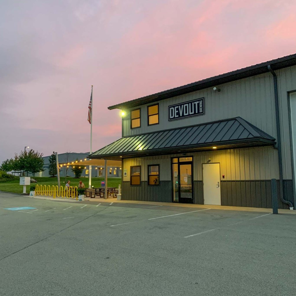
Devout Brewing has been pouring beers at their Export location since 2018. Nestled in the back of an industrial park, Devout feels like a hidden gem. With outdoor seating covered by a sunshade and a large indoor taproom, thereโ€™s plenty of space to relax here! When we visited, there was a surprisingly large selection, up to 16 taps! They also offer locally made cider, wine, and mead if thatโ€™s more your speed. While they donโ€™t have a kitchen of their own, Devout frequently has a rotating food truck schedule or you can bring your own food! Your four legged friends are also welcome on the outdoor patio. We had such a good time at this brewery because it felt like having a beer with new friends! Everyone, customers and staff alike, were so friendly and eager to make conversation. It was an all around great place to spend a Saturday night.

I was pretty excited to check out Devout Brewing because I finally remembered to bring my Laurel Highlands Pour Tour booklet! Although Iโ€™ve been to several of the breweries listed, it was the first time I got an official stamp. Will this start a new obsession? Just wait and see!ย 

Our Beer:

  • Son of Scurvy – Hazy IPA – 6.5%
  • Hans Grubier – Oktoberfest – 5.6%
  • Buzzin Blonde – Belgian Blonde with honey – 7%
  • Pachyderm Porter – Porter – 4%

Looking for more Hikes & Hops East of Pittsburgh? Check out Powdermill Nature Reserve & Four Seasons Brewing, Wolf Rocks & Helltown Brewing, or Ohiopyle & Bloom Brew

Dead Man’s Hollow & Firewhistle Brewing

McKeesport, PA

In the midst of the industrial town of Elizabeth, Dead Manโ€™s Hollow is a welcome green respite! There are miles of wooded trails perfect for hiking and biking and it even connects to the GAP trail. Youโ€™ll find unique spots like the table rock, huge sycamores and spring wildflowers, and industrial ruins. Despite its ominous name, this is a delightfully peaceful hike and is great for some solitude. Afterwards, head back into Elizabeth for a pint at the community-centered Firewhistle Brewing.

THE HIKE: Dead Manโ€™s Hollow Loop

Length: 5.5 miles
Elevation Gain: 840 ft
Difficulty: Moderate
Time: 2-2.5 hours
Trail use: Hiking, Biking
Parking: Large gravel lot
H&H: 4/5

Dead Manโ€™s Hollow is a conservation area that includes over 450 acres  managed by the Allegheny Land Trust. Itโ€™s located southeast of the city in McKeesport along the Youghiogheny River. The ALT set out to preserve this area after it was revealed to have ecological significance and itโ€™s now an excellent spot for spring wildflowers!

There are currently about 8 miles of trails at Dead Manโ€™s Hollow and it links up to the Great Allegheny Passage for even more miles. The trails are open to hikers and cyclists, although be aware that some sections are very steep. 

Where to Park 

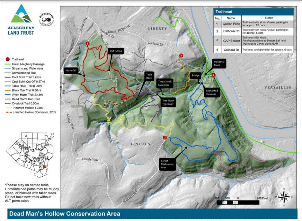
There are four parking lots to access the trails at Dead Manโ€™s Hollow, although I suggest going to the Catfish Pond one. This is the largest lot with space for about 25 cars and is easy to access from McKeesport. After turning off Scenic Ridge Road towards the parking lot, the way is a bit rough and gravelly so be aware if youโ€™re driving a smaller car. Take the road all the way to the end and then youโ€™ll find the trailhead. There are kiosks with trail maps at all four parking areas, but be aware that the other three lots only have space for a few cars. 

History

In the 19th and 20th century, industry ruled in this area. From a quarry to a pipe factory, the location right along the river made it a prime spot. However, when the pipe factory closed in the 1920s, nature slowly took back over. The industrial ruins have made the hollow ripe for spooky stories. The areaโ€™s chilling name comes from local lore stating that in the 1800s, a group of boys stumbled upon a body hanging from a tree. Another folk story tells of a robbed store owner chasing the culprits into the woods and ultimately dying in the ensuing crossfire. For a wonderful overview of the facts and legends about the Hollow, see this article. If you like spooky stories, keep an eye out for Halloween hikes hosted by the ALT at Dead Manโ€™s Hollow!  

The Trails

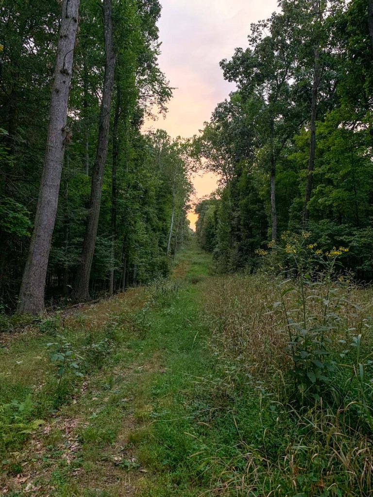
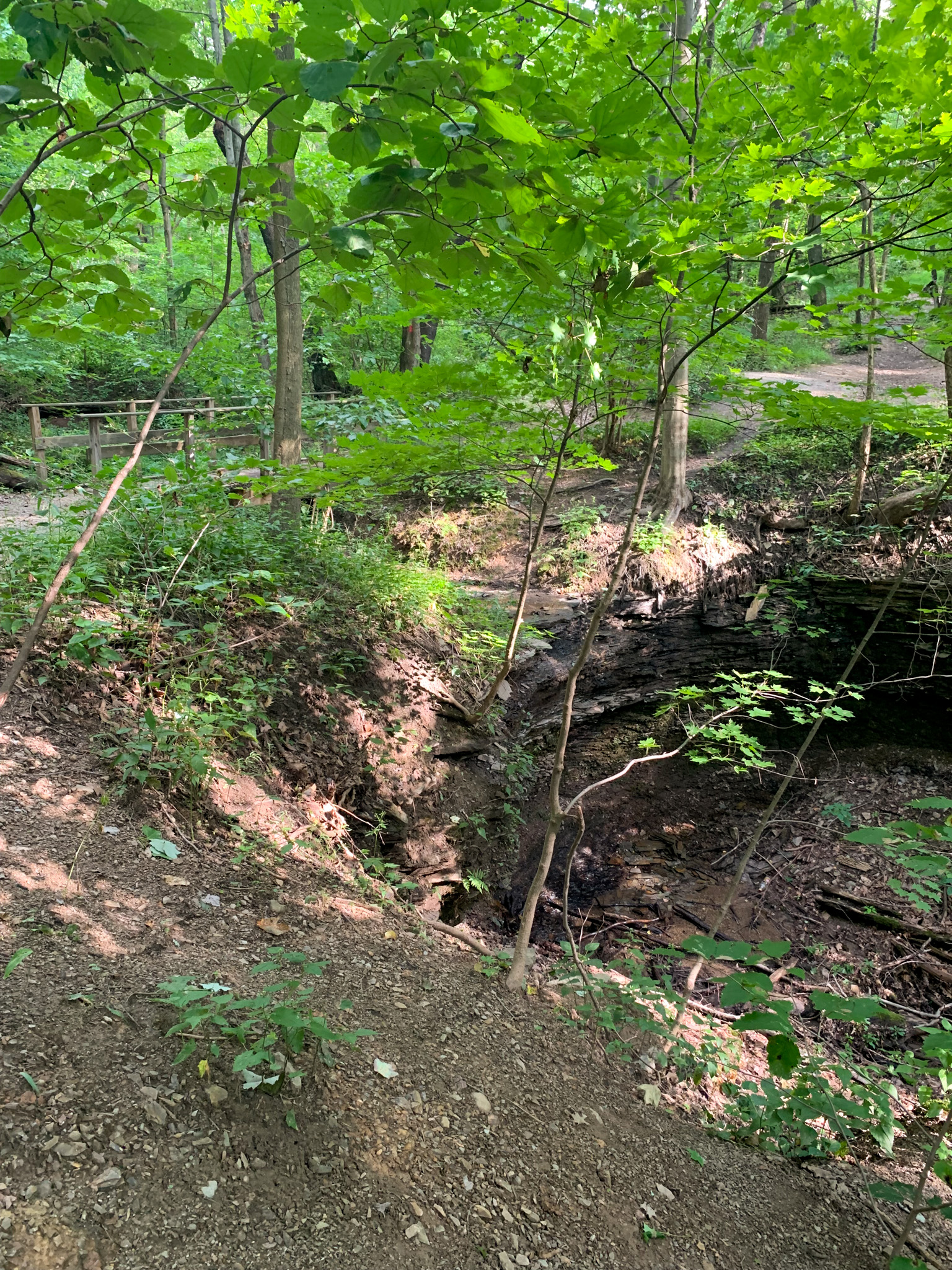
We visited Dead Manโ€™s Hollow this year as part of the Oboz Trail Experience (learn more here) so we had to take a defined route. However, I would highly suggest parking at the Catfish Pond trailhead and starting out on the red-blazed Cool Spirit Trail. Bearing to the right will lead past a small waterfall and the interesting rock feature called Table Rock. Be aware that the trail down to Table Rock isnโ€™t well defined and is quite steep. From there, follow the purple trail down into the hollow, until it meets up with the green trai. See the towering sycamore trees and take a picture in the tree trunk hideaway. Continuing along the green trail leads to the industrial ruins and the GAP trail. From there, you can continue along the lesser trod blue trail that leads up through peaceful woods. The lower half of this trail does have a lot of broken glass though so keep an eye on your four-legged friends. My least favorite trail was the yellow trail, which was extremely overgrown past the Calhoun road parking area. I was very grateful for long pants! To connect the yellow route back to the green or the red connector, there are some very steep switchbacks up the hillside. I found these to be a fun challenge but there are definitely times when Iโ€™d rather avoid and take an easier way up. 

No matter what route you choose, youโ€™re sure to find some peace and quiet at Dead Manโ€™s Hollow! 

THE BEER: Firewhistle Brewery

Address: 107 N 2nd Ave, Elizabeth, PA 15037
Distance from Trail Head: 10 mins, 5 miles
Website: https://firewhistlebrewing.com/
Food?: BYOF
Details: Outdoor seating, cocktails, pet-friendly outside

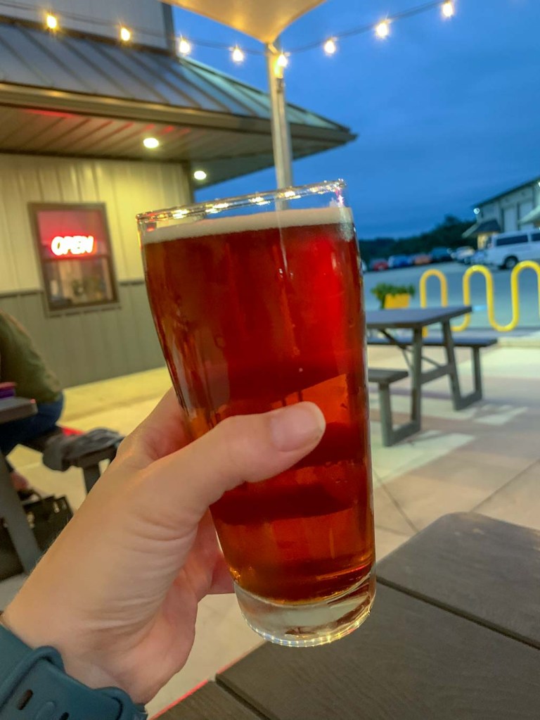
Iโ€™ve been wanting to make it down to Firewhistle for ages and I was so glad that this hike brought me out to Elizabeth! Firewhistle is a pretty small operation, but thatโ€™s part of what I liked about it! The cozy taproom felt like sitting around a friendโ€™s kitchen and pretty much everyone knew either other. As you may have picked up from the name, Jason Berman, owner and brewer, has a close connection to emergency services. He has been a volunteer firefighter and has worked as a paramedic for many years and wanted his brewery to be a place that not only celebrates the work of emergency workers but also be a comfortable place for them to unwind at the end of the night!

Firewhistle is a small operation so in addition to their own house-made pours, they also offer a robust cocktail list and local wines. They also encourage their guests to order in from local restaurants like the pizzeria next door! The night we visited, we were able to enjoy a new stout on tap whose warming, chocolatey taste paired perfectly with an unseasonably cool August night. We also loved the Firewhistle Red Ale, and actually just stuck with these two delicious brews for the evening. I really appreciate a brewery that makes lower ABV beers, cheers to that! We also lucked out and visited on an evening with live music! 

Our Beer:

  • 139 Engine – Amber Ale – 4.9%
  • Flashover Stout – Stout – 5.1%

Looking for other hikes & hops South of Pittsburgh? Check out Mingo Creek County Park & Mondays Brewing, Boyce Mayfield Park & Recon at Hastings, or South Park & Spoonwood Brewing

Mount Nittany & Happy Valley Brewing

State College, PA

Okay, okay, I may be a Pitt girlie but boy do I love a weekend in State College! I visited J out here so much when we were in college and I have many fond memories of exploring the area. Shockingly though, one thing we never did was hike Mount Nittany! Well that definitely needed to change. This is a very popular hike and I would suggest tackling it during the summer when school is out or you may have some trouble finding parking. The 940 ft in elevation gained is no joke so make sure to have proper footwear and plenty of water. Afterward, recharge at Happy Valley Brewing, a hip brewpub in a renovated barn. Make sure to look up for one of the coolest brewery ceilings Iโ€™ve ever seen!

THE HIKE: Mount Nittany

Length: 5 miles
Elevation Gain: 940 ft
Difficulty: Moderate
Time: 2.5 hours
Trail use: hiking, leashed pets
Parking: Small lot at trailhead, Port-a-Potty, nature table

Mount Nittany is arguably the most popular hike in Centre County. Not only does the mountain share its name with many businesses in the area, but more famously is the namesake for  the mascot of Penn State University, the largest college in Pennsylvania. But where does the name โ€œNittanyโ€ come from? Itโ€™s a little unclear but it seems to come from an Algonquian word meaning โ€œsingle mountainโ€. This would make sense since Nittany Mountain is the lone high peak along the Nittany Ridge, making it an excellent place for views of PSU and the affectionately named Happy Valley. 

This area is maintained by the Mount Nittany Conservancy, a nonprofit formed by members of the Lionโ€™s Paw Alumni Association from Penn State. Originally members saved the mountain from the logging industry in the 1940s by raising money to purchase a large section of land on the mountain. But then again in the 1980s, the land was again under threat by developers, so the Conservancy was formed to purchase and preserve more of the mountain. Today, the Mountain Nittany Conservancy cares for over 300 acres of land and works with other landowners towards the long term preservation of the mountain. They also build trails, remove invasive species, conduct clean up days and so much more! 

There are over 8 miles of intersecting trail on Mount Nittany, with the most popular being the 0.6 mile hike to the Mike Lynch Overlook. This overlook gives sweeping views of the Penn State Campus including the Bryce Jordan Center and Beaver Stadium. Be prepared for a trek though, this trail gains over 600ft of rocky elevation in half a mile! Unfortunately the views are a bit obscured in my pictures due to lingering wildfire smoke.

For our trek, we wanted to do the full 5 mile loop of the blue and white trails in order to see all the overlooks. Although the map may look confusing, itโ€™s nearly impossible to get lost on this hike due to the incredible work of the MNC to include signs throughout the hike. Each signpost lists the map reference for exactly where you are on the trail and gives GPS coordinates. THere are also several โ€œshortcutโ€ trails if the full loop feels like too much! 

When doing this hike, itโ€™s important to remember that it is extremely popular both with locals and students. I would suggest doing it first thing in the morning or planning a sunset hike. But know that you will most certainly be sharing the trail with others. Also, there is only room for 3-4 cars at the trailhead, but there is additional parking down the road. Be sure to follow the signs and do not block anyoneโ€™s driveway. This is a residential area so try to be courteous to everyone! There are also portable toilets at the trailhead. One of my favorite aspects of this trail was the huge white board beside the posted map where hikers could add their wildlife observations. How cool! We saw several red efts but still no bears. Sigh. 

For the actual hike, start on the blue/white trail which will take you straight up a very rocky hillside. Even for someone fit, this part can be challenging. Bring plenty of water and be aware of the temperature and humidity for the day. I suggest keeping a counter-clockwise journey (aka right turns). Now that youโ€™ve made it up the mountain, the rest of the hike until the descent is quite flat and easy. The first overlook is the Mike Lynch overlook, probably the largest and most popular due to its views of the PSU campus. However, if you keep onward, the best overlook in my personal opinion, will actually be the last one! Continue along the trail, always keeping to the blue blazed trail. Youโ€™ll pass other overlooks, some nicer than others. The trail remains easy and the flora is diverse and inviting. Nearing the end of the circle around the summit, youโ€™ll reach the Nittany Mall overlook. This is the last of the overlook and arguably the nicest. Thereโ€™s a huge rock perfect for sitting and the trees perfectly frame the vista. What more could you ask for! Finally, it is time to head back down the mountain along the same path you came up. It feels just as rocky going down so take your time! 

THE BEER: Happy Valley Brewing Co.

Address: 137 Elmwood St, State College, PA 16801
Distance from Trail Head: 1.4 miles, 5 mins 
Website: http://happyvalleybeer.com/
Food?: Full Kitchen
Details: Outdoor seating, No pets

Celebrate your victory over Mount Nittany with some brews and a meal at Happy Valley Brewing. This unique brewing is housed in an old barn and all of the details and decor nod to the buildingโ€™s previous life. They even preserved the old Klingerโ€™s Farm sign and have it proudly displayed over the bar! While youโ€™re looking, take a gaze at the wall papered ceiling and youโ€™ll get a chuckle out of the beer-minded renaissance figures. 

Happy Valley Brewing has a full kitchen menu specializing not only on pub favorites but also offering a more sophisticated menu of farm-to-table offerings. Although if youโ€™re like me, after hiking all I want is a big tasty sandwich! I opted for the pulled pork and it was exactly what I wanted. In addition to the upstairs restaurant, thereโ€™s also a downstairs lounge that usually has live entertainment and a relaxed vibe. 

But what about the beer?? I felt compelled to get the Tailgater Pale Ale which was a delightfully hoppy ale with a slight tangerine flavor. Coming in at a low 4.&% ABV, this made for a perfect post-hike lunchtime pour. I only wish I had time to sample more! But most importantly, we had to save room for a stop at the Creamery. You just have to! 

Looking for more Central PA hikes & hops? Check out Peter’s Mountain & ZeroDay Brewing in Harrisburg, Pulpit Rock & 1787 Brewing in Hamburg, and Rickett’s Glen & Back Mountain Brewing Near Benton