Shingletown Gap & Boal City Brewing

Boalsburg, PA

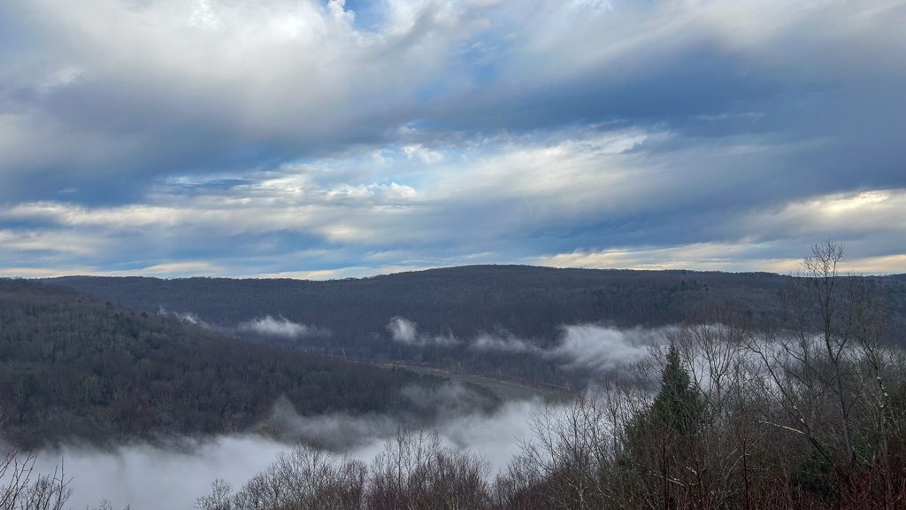
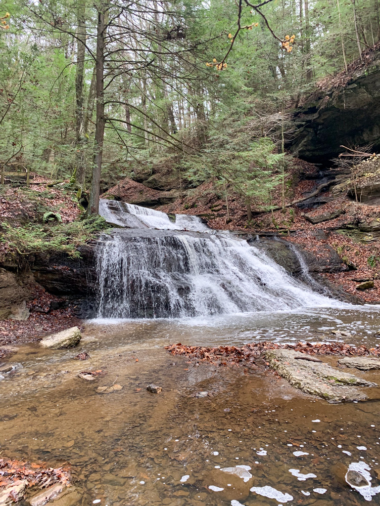
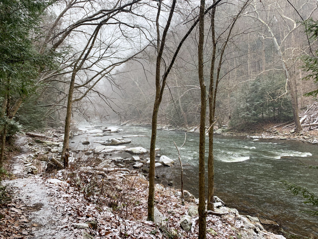
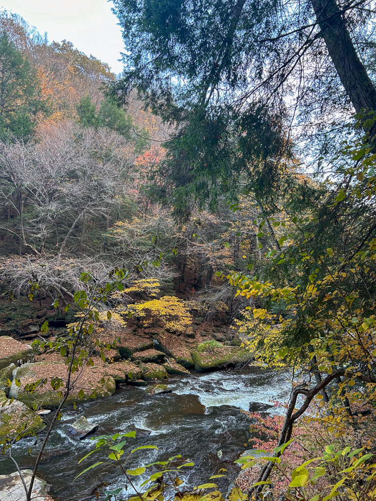
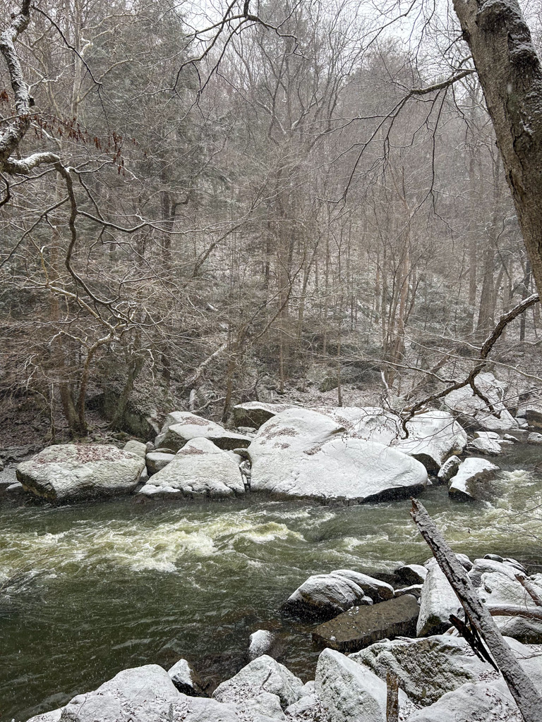
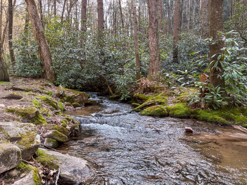
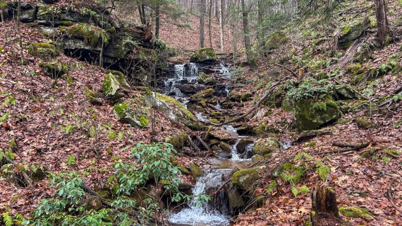
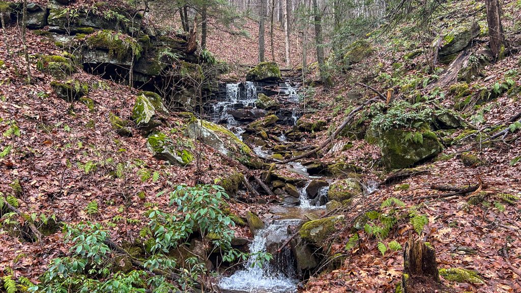
Explore the stunning trails of Shingletown Gap along the trickling waters of Roaring Run. The landscape is incredibly diverse, with thickets of rhododendrons and soaring hemlock trees. The rocky landscape will keep you on your toes, but the generally flat trail keeps this at a moderate difficulty. Cell service is spotty, so make sure to download your map beforehand. Afterward, check out the adventure-friendly Boal City Brewing in nearby Boalsburg for tasty brews with plenty of indoor and outdoor seating.

THE HIKE: Shingletown Gap

Length: 4.0 miles (Trail system offers a variety of distances)
Elevation Gain: 443 ft
Difficulty: Moderate
Time: 2 hours
Trail use: Hiking, leashed pets, mountain biking

A paved road leads into the distance with trees lining one side and a fence in the background
Entrance to Shingletown Gap – Water Authority

Where to Park: 40.75430032745319, -77.81802788518827. There is a small lot for roughly 10 cars at the Shingletown Gap Water Authority at the end of Mountain Road. Please only park in designated areas and do not park along the side of the road. There are no restroom facilities at this trailhead.

The Route: The Shingletown Gap trail system is located within Rothrock State Forest. Named for PA’s “Father of Forestry” and first forestry commissioner, Dr. Joseph Trimble Rothrock, this state forest spans nearly 100,000 acres in Central PA.

This route starts from the Shingletown Gap Water Authority trailhead parking, but there are other parking areas, including the Galbraith Gap parking off of Bear Meadows road. Use the PA Department of Natural Resources map to plan your route if starting from another parking area.

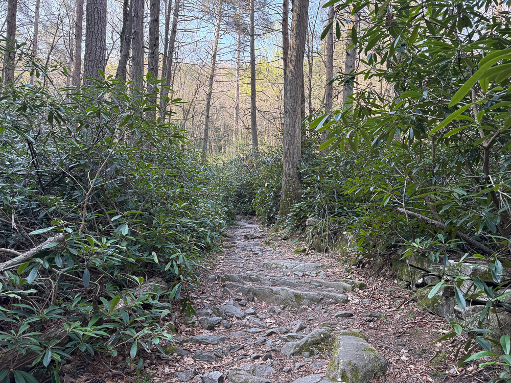
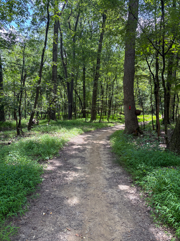
The route I explored begins at the Shingletown Gap Water Authority. Begin along the paved path that passes the water treatment area. I was amused to see some ducks enjoying a swim in the fresh water! Then the paved path gives way to a natural trail. Follow along the Lower Trail (no signposts), which hugs the edge of Roaring Run. Scramble along the rocks, always staying to the left of the creek. Continue on the trail until just over a half mile when you’ll hit a fork in path. Take the Charcoal Flats Trail to the right to cross over the trickling stream and head steeply uphill, leaving behind the rhododendron thickets. Afterward climbing for roughly 1/4 mile, you’ll reach the top of the ridge. Turn left to stay on the Charcoal Flats Trail and continue for about 3/4 of a mile. This path is markedly different than the lower trail, with more deciduous trees and small rocks filling the trail. Finally, you’ll hit a trail junction with a signpost. Turn left to cross back over the creek and return to the Lower Trail. Just past this junction is a lovely spot to sit along the water and take a rest. Continue along the water’s edge for a mile before passing the trail fork from the beginning of your hike. Stay straight on the Lower Trail to return to the water authority and complete your trek.

There are many other route options in this area, but I highly recommend downloading or printing a map as the trails aren’t always marked and there is little cell service. Pennsylvania-based Purple Lizard Maps has a fantastic map of Rothrock State Forest that includes the Shingleton Gap area!

Other Attractions: Rothrock State Forest is adjacent to State College and is near a plethora of things to do, both for the outdoorsy soul and the more city-minded. Plan a day exploring the college town and be sure to get ice cream from the famed Berkey Creamery. Check out nearby Boalsburg or Bellefonte for small-town charm and shopping. For other nearby hiking, Mount Nittany is a classic hike, or for the road less traveled, hike to Ralph’s Pretty Good View on the Allegheny Front Trail in Moshannon State Forest. There are limitless trails and parks to check out near State College!

THE BEER: Boal City Brewing

Address: 281 Old Boalsburg Rd, Boalsburg, PA 16827
Distance from Trailhead: 3 miles, 6 mins 
Website: https://www.boalcitybrewing.com/
Food?: Rotating Food Trucks
Details: Parking lot for cars and bikes, indoor and outdoor seating, family-friendly, leashed pets outside

Just minutes away from the trailhead, only 6 minutes to be exact, is the cycling haven of Boal City Brewing. Located just outside of State College in the town of Boalsburg, this brewery is primed to be your new favorite hang. A sprawling outdoor space with covered seating just beckons you to come and stay awhile. Inside, the spacious taproom. The topographic map wallpaper lets you know that at Boal City Brewing, adventure is just around the corner. And that’s not just a metaphor; there’s a bike path right outside the brewery! Plus, the soaring windows in the taproom offer stunning views of the surrounding state forest. It’s the perfect spot to soak up the endorphins of some time spent in the great outdoors.

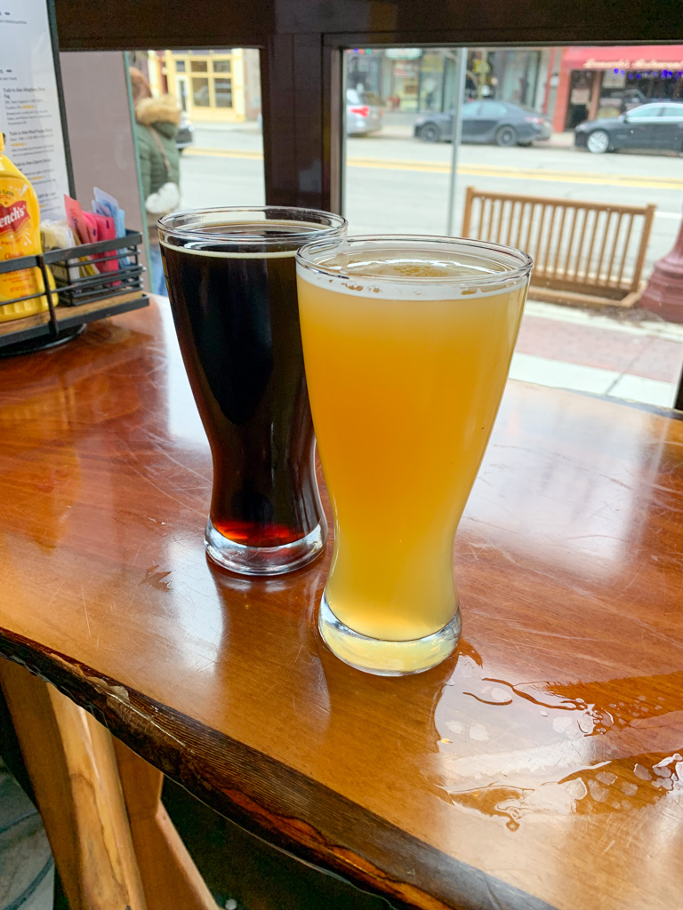
On my visit, I indulged in a few half pours of some of head brewer Mike Smith’s delicious concoctions. My favorite of the bunch was a New England IPA that was the perfect balance of hops and citrus without feeling too heavy. I also had to try the Hefeweizen, one of my favorite beer types and usually my litmus test for if a brewer is worth his salt (malt?). Thankfully, this beer was sweetly bready and light, a solid hefe.

This is the kind of brewery I would go out of my way to visit again! One that makes me wish I lived just a bit closer.

A colorful mural on the side of a building that depicts wildlife, flowers, and people doing outdoor activities

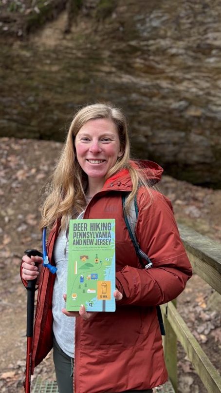
Looking for more adventures in Pennsylvania and beyond? Check out my new book: Beer Hiking Pennsylvania and New Jersey

Clear Creek State Forest & Trails to Ales

Franklin, PA

Travel north of Pittsburgh to the Kennerdell Tract of Clear Creek State Forest to tackle this beautiful loop on a ridge over the Allegheny River. The hike features towering hemlock trees, a stunning overlook, and stream cascades, all of which make it a great hike to tackle during the winter season. Afterward, venture to the town of Franklin to grab a brew and a bite at Trails to Ales. With a cozy taproom and delicious food, you’re sure to stay a while!

THE HIKE: Allegheny Gorge and Dennison Overlook

Length: 4.5 miles
Elevation Gain: 650 ft
Difficulty: Moderate
Time: 2-2.5 hours
Trail use: Hiking, leashed pets

This trail crosses into state gamelands so please be aware and wear hunter orange during all hunting seasons. Check out this post for more information about hiking safety during hunting season.

Where to Park: 41.26884167688875, -79.87212916994663. Park at the end of Dewoody Road in Polk, PA. There’s a large dirt parking area that may be difficult for small, 2-wheel-drive vehicles to traverse. Avoid parking on Kennerdell Road in the small pull-off where parking may not be allowed.

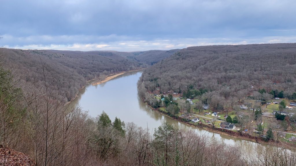
View from the Dennison Point Overlook

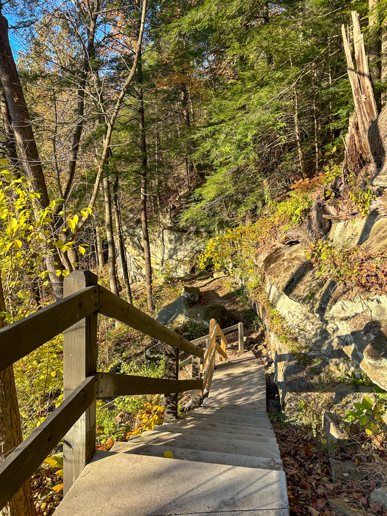
The Route: This route winds through dense forests, following a charming stream. There are several bridge crossings over the stream and a steep climb to an overlook of the Allegheny River. This route traverses the Kennerdell Tract of Clear Creek State Forest.

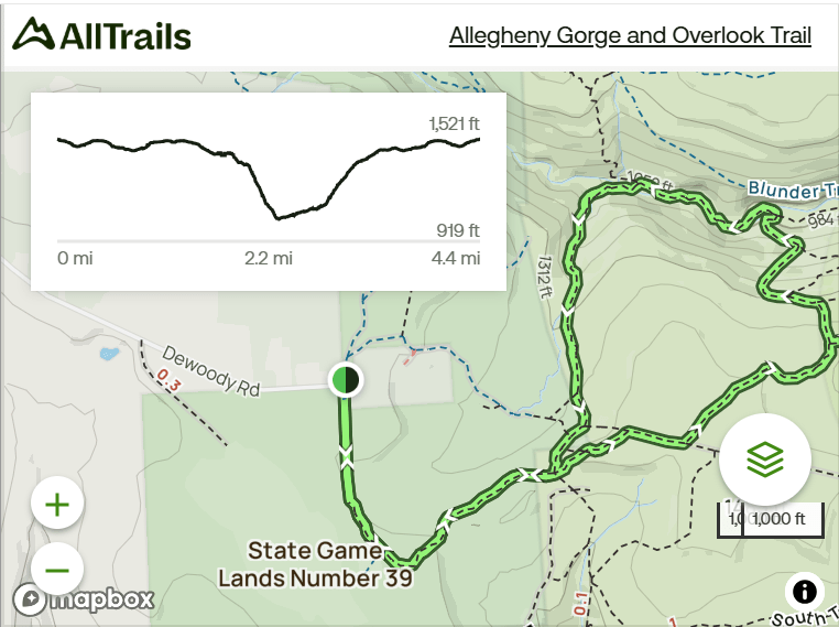
From the parking lot on Dewoody Road, cross back over Dewoody Road and start down the access road. Be aware that this section is part of State Gamelands 39. After about 1/4 mile, turn left to get on the Kennerdell Trail which is labeled with a trail sign and marked with yellow blazes. At about 1 mile, you’ll reach a trail junction. Bear to the left to get on Dennison Run Trail which is also marked with yellow blazes. This trail meanders slowly downhill alongside a trickling stream that gently cascades over moss-covered rocks. The surrounding hemlock trees make for a beautiful green expanse at all times of the year.

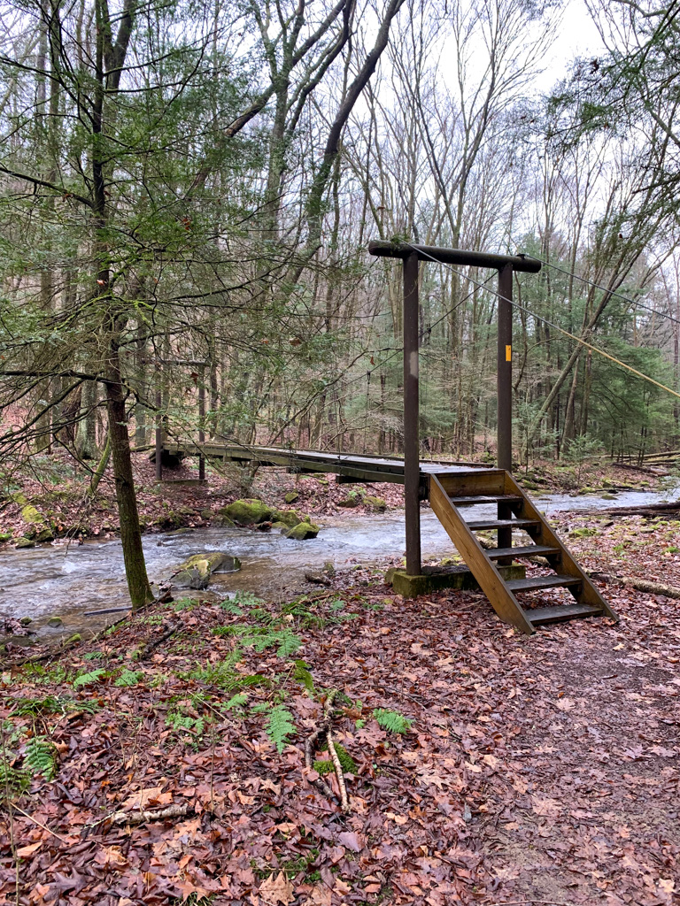
After just under a mile, you’ll reach the bottom of the hill where the stream meets up with Dennison Run. To the left is Goat Trail, which links up to a whole system of shared-use trails (biking, horseback riding, and hiking) as well as a roughly 10-ft unnamed waterfall that is stunning in the winter. To continue on the route, bear to the right to stay on Dennison Run Trail. From here, the trail is mostly flat, using rustic suspension bridges to frequently cross over the stream. After 0.5 miles, take the right Overlook Trail to head up the hill. This is the hardest climb of the hike, and where the bulk of the elevation gain is! You’re rewarded for your effort by reaching the Dennison Point Overlook, a soaring vista of the Allegheny River and the below town of Kennerdell.

After taking in the majestic views, turn to the left on the Overlook Trail to continue the loop. This section of the trail is flat and easy to traverse. After 0.5 miles, you’ll meet back up with the Kennerdell Trail. It will briefly skirt around a campground before returning to the same trail junction from the beginning of your hike. Now you just retrace your steps along the trail to the access road and finally back to the parking area.

Other Attractions: Drive to the nearby Kennerdell Overlook for a stunning view across the Allegheny River Gorge. There’s also the 29-mile Allegheny River Trail, a rail trail that runs through the over 3,000 ft long Kennerdell Tunnel

View from the Kennerdell Overlook, a short drive from the trailhead

THE BEER: Trails to Ales Brewery

Address: 1270 Liberty St, Franklin, PA 16323
Distance from Trail Head: 12 miles, 22 mins 
Website: https://trailstoalesbrewery.com/
Food?: Full Menu
Details: Parking lot, NA options, indoor seating only, no pets, kids food menu

Tucked onto the main drag of “Always Eventful” Franklin, PA is Trails to Ales Brewery. The bar & grill opened in 2017 and, since then, has been a gathering place for locals and visitors alike. Franklin itself is a small, historic town, and that is clearly reflected in the Trails to Ales taproom. The exposed brick and tin ceiling harken to a prior era, while the rustic wooden bar creates a warmth and coziness. The Liberty Avenue taproom has a wide range of brews, including year-round favorites and seasonal specialties. They also have house-made hard seltzers and stock some canned NA beers.

After a day of hiking, the extensive food menu is sure to have something of interest. From pub appetizers to pizza to hot stone steak, you won’t be leaving hungry! If you’re looking for a unique experience, check out Trails to Ales II, the brewery’s newest location that also houses its production facility. The huge warehouse-style space is open on most weekends and has a large outdoor space, self-service taps, and live music. I only visited the original taproom, but would definitely check out the new location on my next visit!

As evidenced by the brewery’s name, the business is a love letter to the great outdoors of Venango County. In fact, a percentage of the sales from their flagship beer, Holden’s Dream (a steam beer) goes to support the Allegheny Valley Trails Association. I love it when a brewery is passionate about their local trails!

Our Beer:

  • Allegheny River Fog – NEIPA – 5.8%
  • Mud Puppy Stour – Milk Chocolate Stout – 5.5%

Looking for more Hikes & Hops in Northwestern PA? Check out Erie Bluffs & Twisted Elk, Beartown Rocks & Mechanistic Brewing, Cook Forest & Lost in the Wilds Brewing, or Wolf Creek Narrows & Big Rail Brewing.

Looking for more adventures in Pennsylvania and beyond? Check out my new book: Beer Hiking Pennsylvania and New Jersey

Top 10 Activities at Hartwood Acres Park

Hartwood Acres is one of nine county parks managed by Allegheny County. Located north of Pittsburgh, the 630-acre estate spans Hampton and Indiana counties. Best known for its Tudor-revival 1929 mansion, the park also boasts miles of multi-purpose trails, an amphitheater, formal gardens, and a dog park.

Keep reading for some ideas on how to spend a day at this beautiful park!

Quick Tips about Visiting

Location: From Pittsburgh, head North on Route 28, then take Exit 5B for PA 8N. Make a right onto Saxonburg Road and continue for 4.5 miles. The entrance road to the park will be on your left.

Parking: 4100 Middle Rd, Allison Park, PA 15101 (Amphitheatre)
200 Hartwood Acres, Pittsburgh, PA 15238 (Mansion)

Free to visit!

History of Hartwood Acres

Hartwood Acres was formerly the estate of the philanthropic Lawrence family. Mary Lawrence, the daughter of a U.S. Senator, purchased the land for her home. She and her husband were inspired by the Tudor homes of Oxfordshire and built Hartwood Manor in 1929. The estate also included horse stables, an equestrian showcase area, and wooded riding trails. Mary sold 400 acres of her estate to Allegheny County in 1969 with the understanding that Mary could remain living in the manor until her death. The park opened to the public in 1976.

10 Things to Do at Hartwood Acres

Tour the Sculpture Garden

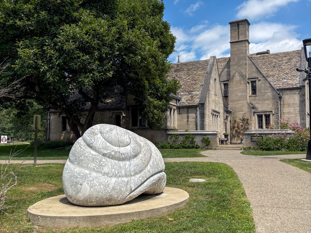
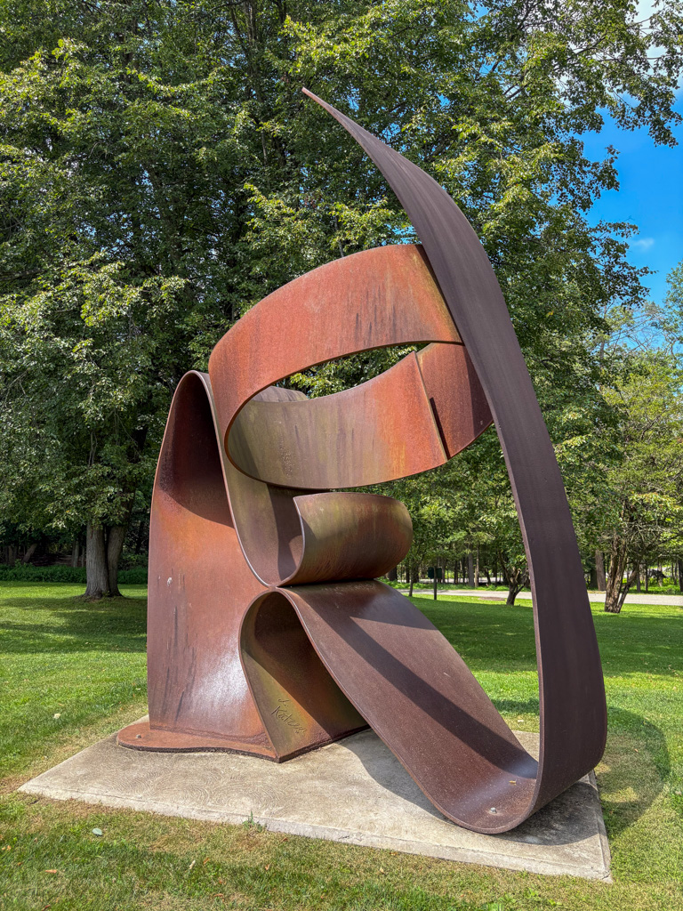
In the grounds surrounding the mansion are 14 large-scale abstract sculptures. This public art collection was recently revitalized and connected by a paved path. There’s also new signage about the pieces and the artists, as well as a QR code to listen to an audio tour. This is a totally free activity and is completely self-paced. Great for hikers and art-lovers alike!

Free summer concerts at the Amphitheater

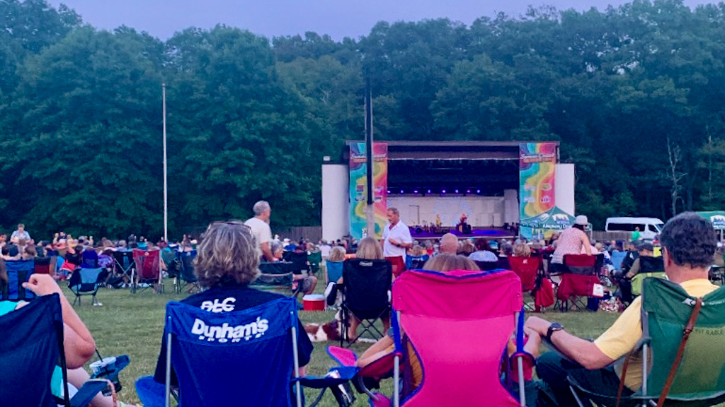
Every summer from June to August, there are free concerts at the Amphitheatre on Sundays. Bring a blanket, chair and a picnic and enjoy the sounds of a variety of music from the Pittsburgh Symphony Orchestra to internationally known artists. Hozier even played a show here! There are also food trucks, beer, and wine tents to enjoy. The shows start at 7:30pm and you can find the full schedule here. Please remember to dispose of all trash after the show!

Go for a hike

There are miles of trails that weave throughout the wooded park. The trail markers aren’t always the most intuitive, so download a trail map or get the Allegheny County Park app to plan your route. Most trails start at either the Amphitheater or the Mansion. If you’re looking for a stroller or wheelchair accessible trail, both the Middle Road Trail (1.5 miles, Amphitheatre parking lot) and the Sculpture Garden Paths (0.5 miles, Mansion parking) are ADA-Accessible. There are also miles of natural trails that are shared usage (mountain bikes, hiking, horseback riding) so make sure to be aware and know when to yield to other trail users.

The Purple Trail (beginning across the street from the Mansion) is a great 2.25-mile hike through the peaceful woods of Hartwood Acres. You’ll stroll along a hillside of tall trees, getting some elevation and enjoying shade throughout. The hike takes about an hour and it offers plenty of chances to connect with other trails in the park. For a large loop of the entire park, follow this route from AllTrails.

Tour the historic mansion ($)

The Tudor-revival mansion is the heart of the park. Built in 1929, the mansion is open daily for tours of the building. You can learn more about the architecture and the family that once lived there. There is a fee for the tour and it’s best to call to make reservations. The grounds and gardens surrounding the mansion are free to walk around. The mansion hosts special tours during the holidays, including an evening candlelight tour.

Explore the wildflower meadow

Planted in 2019, the wildflower meadow used to be a mown lawn near the concert grounds. Now the 5-acre field is a pollinator’s dream, full of native flowers and grasses. The colorful array is not only beautiful to see but also provides ecological benefits like stormwater management and animal habitat. Find the meadow off Middle Road near the Amphitheatre.

Bike along the paths

Biking is welcome along the many trails at the park! Whether you want to stick to paved ways like the various park roads or the Middle Road Trail, or want to get adventurous by mountain biking on the natural trails, there are miles for you to explore. The natural trails range from easy to intermediate and offer some elevation changes and technical challenges. Just remember that the trails are multi-use so know when to yield to hikers and horses. Check out Trail Pittsburgh for more info about mountain biking in Hartwood Acres.

Enjoy a picnic

There’s nothing like dining al fresco! Especially when it’s as simple as throwing a blanket in a shady spot and unpacking a quick bite. Whether its just a quick snack or a full meal spread, there’s plenty of spots around the park to spread out and relax. Just be sure to always Leave No Trace and dispose of your trash properly! If you don’t feel like packing a lunch, consider grabbing a snack at one of the local coffee shops or cafes for your picnic!

Run wild at the dog park

Dogs are welcome on all the trails at the park but must remain leashed. The dog park is the one place where your beloved mutt can run free! The off-leash area is fenced in and has separate sections for large and small dogs. It’s a popular spot to end a walk in the woods with your pup and let them burn off some energy.

Winter fun

The fun doesn’t stop when the weather cools off! The trails at Hartwood Acres are also open for cross-country skiing in the winter. Lace up your boots, wax your skis, and enjoy the snow-covered views! Please note that there are no ski rentals available at the park.

Special Events ($)

Throughout the year, you can attend special events at the Hartwood Acres Mansion, including holiday candlelit tours and high tea. Keep an eye out on the Allegheny Parks social media for updates about special events. Make sure to book your tickets early, as these events are very popular! Keep up to date on daily programming and special events here.

Explore the other county parks! Check out some Hikes & Hops Settler’s Cabin & Altered Genius Trailside, North Park & Cinderlands Taproom, White Oak Park & Wye Beer Co, and South Park & Spoonwood.

A Day in McConnells Mill State Park

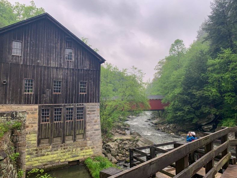
McConnells Mills State Park spans over 2,500 acres of the Slippery Rock Gorge, a National Natural Landmark. With stunning rock formations, waterfalls, and a picturesque gristmill and covered bridge, this park is worth the drive to Lawrence County, PA. Whether you’re looking to hike the day away or for an outdoorsy spot to bring the whole family, a trip to McConnells Mill is beautiful at any time of year.

Know Before You Go

  1. Free Entry – PA State Parks and Forests are free for all visitors!
  2. 40 miles North of Pittsburgh – but not reachable by public transportation.
  3. Navigation – cell service can be spotty, so download trail and driving maps before leaving home
  4. Pet Friendly – leashed dogs are welcome on all trails. Check below for trail difficulty
  5. No Swimming – Swimming is prohibited at the park due to rocks and rapids
  6. Hunting – Some areas are open to hunting, so always wear orange during hunting season! Check the PA Game Commission for more information about hunting seasons.
  7. Accessibility – Handicap parking is available at the historic gristmill. Please note that there are no ADA-accessible trails or facilities available. Call the park office to confirm accessibility for tours of the mill.
  8. Weather – The park area is often colder than the surrounding areas and is prone to icy conditions. Check conditions before heading out and wear proper gear.

How to get to McConnells Mill

There are a few different parking areas for accessing trailheads at the park. The main parking area is the Kildoo Picnic Area. The park is approximately 40 miles north of Pittsburgh on I-79. Take the exit for PA-488, then get onto US-19N. Then follow Kildoo Road (T316) to the parking lot.

Hiking in McConnells Mill

There are over 11 miles of trail in McConnells Mill, including 7.5 miles of the North County Trail. You can combine trails to make a loop or stick to out-and-back trails. This park has plenty to see without a long hike, so it’s a great spot for families or new hikers. The hardest trail is the Slippery Rock Gorge Trail, which only experienced hikers should tackle. See below for a breakdown of the park’s trails!

Easy Hikes

  • Alpha Pass Trail (1.0 miles, out-and-back) – Start at the gristmill and head to the right on the blue-blazed Alpha Pass. The trail is fairly flat and even, but can be icy in the winter. Be aware that the creek is fast-running and not open for swimming. Leads to Alpha Falls, the tallest waterfall in the park, although best visited after a rainy spell.
  • Hells Hollow Trail (1.0 miles, out-and-back) – Start at the Schaffer Run Road parking lot. It’s an easy 0.5 miles out and back. The most difficult part is the final staircase down to the falls. The stairs end in the creek, and you’ll have to step over stones for the best view of the falls. Be aware that this can be difficult in the Spring when the water is high.
Frozen Alpha Falls
Hell’s Hollow Falls

Moderate Hikes

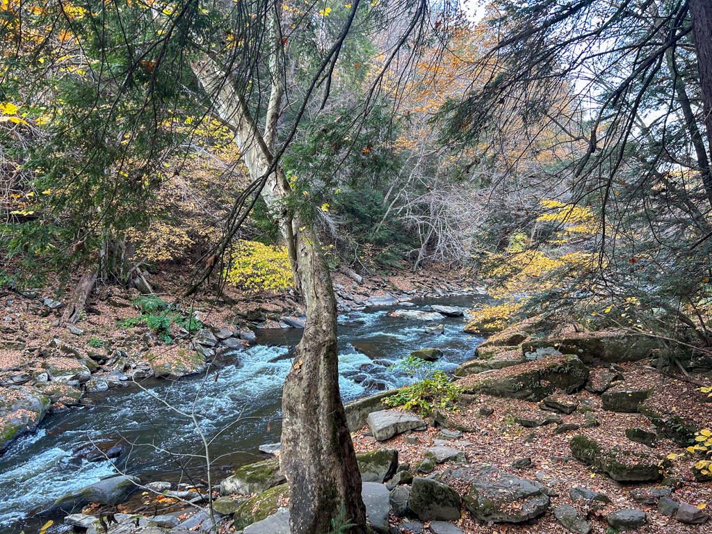
  • Kildoo Trail (2.0 miles, loop) – This is my favorite loop in the park. It also starts at the Mill and begins by following along the marked Kildoo Trail to the left of the Mill. This trail hugs the creek and is rocky and full of little waterfalls and runoff streams. It’s very beautiful, but new hikers might find the rocky terrain difficult. After about a mile, reach Eckert Bridge and cross over towards the Slippery Rock Gorge Trail. Bear to the right to hike alongside the opposite side of the creek. This side is higher up and slightly more rocky, but it makes for an exciting challenge. Finally, you’ll close the loop by crossing through the covered bridge.
  • Breckneck Falls (0.5 miles, out-and-back) – Another short hike to see a lesser-known waterfall in the park. Turn to the left from Eckert Bridge to start on the Breakneck Falls trail. It’s an easy hike with a very shallow stream crossing. The only difficult section is right at the mid-point to access the falls
Along the Kildoo Trail

Difficult Hikes

  • Slippery Rock Gorge Trail (6.2 miles, one-way) – This one-way (also called point-to-point) trail spans the length of the park, following along Hell Run until it meets up with Slippery Rock Creek. It is a rugged, difficult hike leading through the natural beauty of the Slippery Rock Gorge National Natural Landmark. If only going one way, you’ll need two cars, leaving one at the Schaffer Run parking lot and the other at the Kildoo Picnic Area lot. Starting at the Schaffer Run Lot, follow the signs for the Slippery Rock Gorge Trail (blue blaze). Along the trail, you’ll encounter old-growth forests, a natural landbridge, hidden waterfalls, and stream crossings. The trail leads all the way to the covered bridge and gristmill. For a real challenge, try this as an out-and-back, adding in the Kildoo Trail for a loop at the halfway point before heading back along the Slippery Rock Gorge Trail. If tackling the whole trail, make sure to bring plenty of water and snacks, and give yourself ample time to complete. When a friend and I tackled the full out-and-back, it took the better part of 5 hours.

Other Things to Do

Gristmill Tour

A 19th-century gristmill is a key feature of the park. For decades, this mill served as a hub of the community where farmers brought their grains to be milled into flour. The mill eventually closed in the 1920s and was eventually transferred to the state for long-term preservation. Today, you can tour the mill and learn more about how it used the creek waters to grind grains.

The historic gristmill is open for tours on select days during the summer season. It’s usually open from 10:30-3:30 Wednesday thru Sunday, starting on Memorial Day. But make sure to call the park office for more details and to confirm opening times.

Geology Trail (Driving & Hiking)

The region that encompasses McConnells Mill State Park has a fascinating geological history. Follow along the Trail of Geology in McConnells Mill and nearby Moraine State Parks for a fascinating explanation of the rock and water features in the area. Stops 1-6 are located in McConnells Mill and can also be accessed by hiking!

White Water Boating

There are no rentals at McConnells Mill, but there are several points to launch personal crafts. Depending on the water level and season, the creek is rated as a Class II to IV river. The rapids can be quite dangerous and should only be attempted by experienced boaters. Also, boats are not allowed over the dam, so all boaters must exit the creek and return no less than 50 feet downstream. For more information about whitewater boating and safety, visit the State Park’s website.

Stairs from Kildoo Picnic Area to the Mill and trailheads

Picnicking

There’s no overnight accommodations at McConnells Mill State Park, but there is a large picnic area at the Kildoo parking area with picnic tables, charcoal grills, bathroom facilities, and a field for playing. There’s also an ADA-accessible pavilion that can be reserved. This is a great spot to have lunch after exploring!

Rock Climbing

McConnells Mill is one of only four state parks in PA that allow rock climbing! There are two designated climbing areas: Rim Road and Breakneck Bridge. If going climbing, please exercise extreme caution. The routes should only be tackled by experienced climbers.

Nearby Attractions

Want to know what else to do near McConnells Mills State Park? If you’re craving more outdoor time, check out nearby Moraine State Park for swimming, boating, biking, and more, and Jennings Environmental Center for hiking, birding, and environmental education.

If you’re looking to revive with a brew and bite, head into the nearby towns of Zelienople and Harmony for a plethora of food options. For brewpubs, you can check out Union Brothers Brewing, ShuBrew, or The Harmony Inn (operated by North Country Brewing). If a treat or a coffee is more your speed, stop by Lagerhaus Bakery, Wunderbar Coffee and Crepes, or Neff Haus Ice Cream to satisfy your sweet tooth!

For more hiking adventures in Western PA, check out my guide to Waterfalls within an Hour of Pittsburgh and Best Hikes & Hops in Pittsburgh. For all of my adventures in Pennsylvania, head here!

Looking for more adventures in Pennsylvania and beyond? Check out my new book: Beer Hiking Pennsylvania and New Jersey
Beer Hiking Pennsylvania & New Jersey

A guide to the best hikes and microbreweries in Pennsylvania and New Jersey

Beer-lovers and hiking enthusiasts, these 35 hikes through Pennsylvania and New Jersey are for you! Each carefully selected hike leads you through a stunning natural landscape and ends near a brewery or a brewpub where a local craft beer awaits you. This full-color guidebook features the best one- to six-hour beer hikes around the mountains, waterfalls, battlefields, beaches, and forests of Pennsylvania and New Jersey. It guides you from the watershed of the Delaware Valley to the grand expanse of the PA Wilds, and from the beaches of the Jersey Shore to the rocky hills of the Laurel Highlands.

Each trail description includes details on access, difficulty, duration, points of interest, and, at trail’s end, a recommended beer, with notes on its appearance, aroma, and taste. You’ll also get an inside look at the creative and passionate craftspeople behind the brewing process.

Disclosure: This post contains affiliate links, meaning I get a commission if you decide to purchase something. All income I may receive goes back into hosting and running this site!

Publisher’s website: Helvetiq