September Nature Nugget – PAWPAW

“Pickin’ up paw paws, put ’em in your pocket

Way down yonder in the paw paw patch”

Appalachian Folk Song
Pawpaw leaves. J’s hand for scale

It’s September in Maryland and do you know what that means? PAWPAW SEASON! Okay let’s take a step back because chances are, you might not know what pawpaws are! Pawpaw trees (Asimina triloba) are native to the eastern US into Canada and produce a fruit in the late summer/ early fall. It’s actually the largest fruit indigenous to the United States! Cool right? So bright green pawpaw fruit start forming in the summer but come Fall they will ripen and turn soft and might even look slightly yellow-brown. They’re best eaten when they’re either fallen from the tree or easily come off the stem.

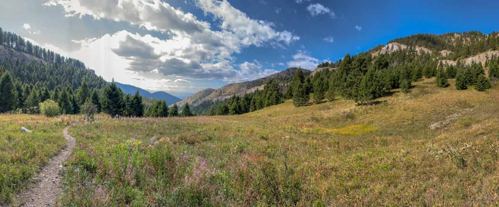
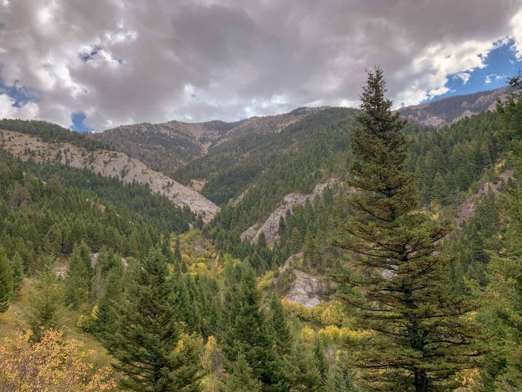
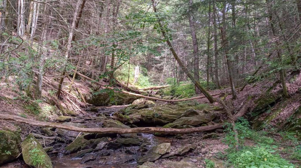
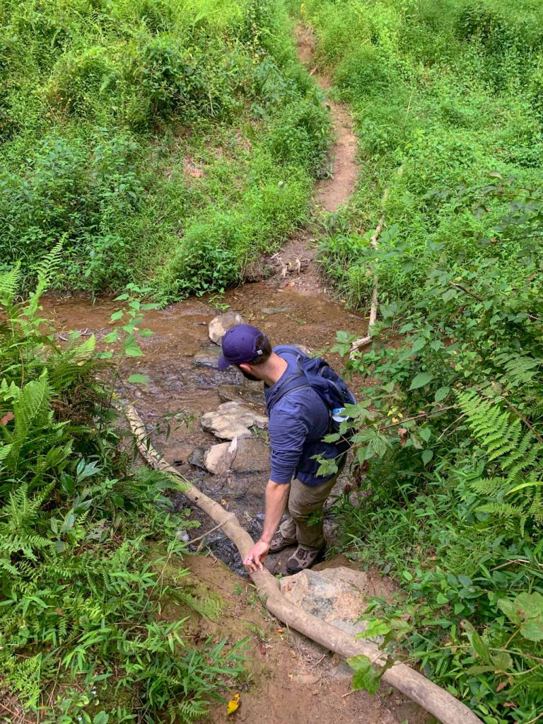
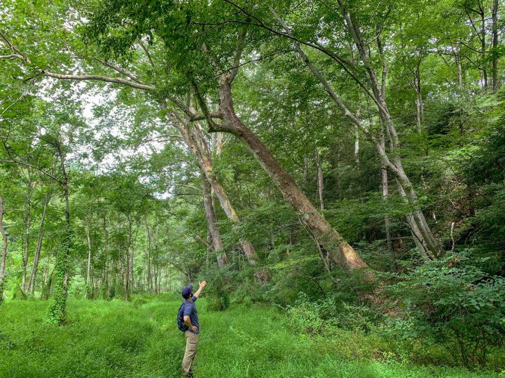
Pawpaw trees have really large, long leaves on spindly trunks. They prefer growing in bottom land that is very fertile and well-draining. I always keep my eyes out for them along stream and river beds. They’re considered an undergrowth tree, which means that they grow in the shade of larger trees. They can grow up to 30ft tall and are usually found in hardwood forests. 

Pawpaw flower

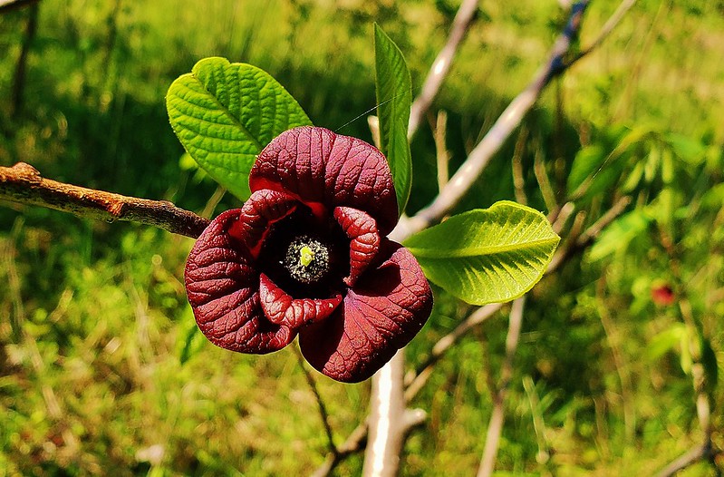
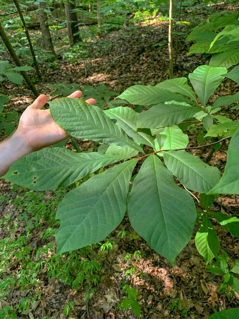
In the springtime, the pawpaw produces flowers with six petals arranged in sets of three. They are a beautiful deep maroon color but they don’t smell too nice! Around the same time that the flowers emerge, the tree begins putting out its signature huge oblong leaves. They are bright green most of the season and then turn to yellow and brown after it drops its fruit. 

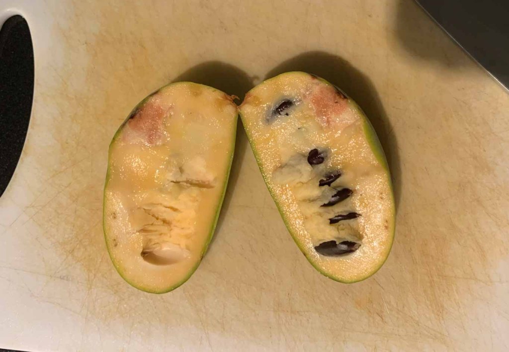
But what you probably want to know more about is the fruit! Pawpaw fruit is soft and creamy, often compared to custard. In fact, it’s very similar to bananas which over the years has given it a variety of colloquial names including: wild banana and Appalachian banana. The fruit contains several large brown seeds in a row and these seeds along with the peel are not edible.

Freshly cut pawpaw with visible seeds

History

Although you won’t find a pawpaw in the grocery store, they do have a long history in this area. Pawpaws were so important to the indigenous Shawnee people, who inhabited the Ohio Valley, that they named a month for them! In the Shawnee language September is literally called the Pawpaw Moon. The first written record of pawpaws dates back to 1541 when a Spanish explorer wrote of seeing Indigenous peoples harvesting them. Pawpaws were even enjoyed by founding fathers, with Thomas Jefferson planting groves at Monticello and one of George Washington’s favorite desserts was chilled pawpaw. Lewis and Clark even snacked on them during their expedition west!

Use and Popularity 

Gazing longing at a pawpaw that’s not ripe yet

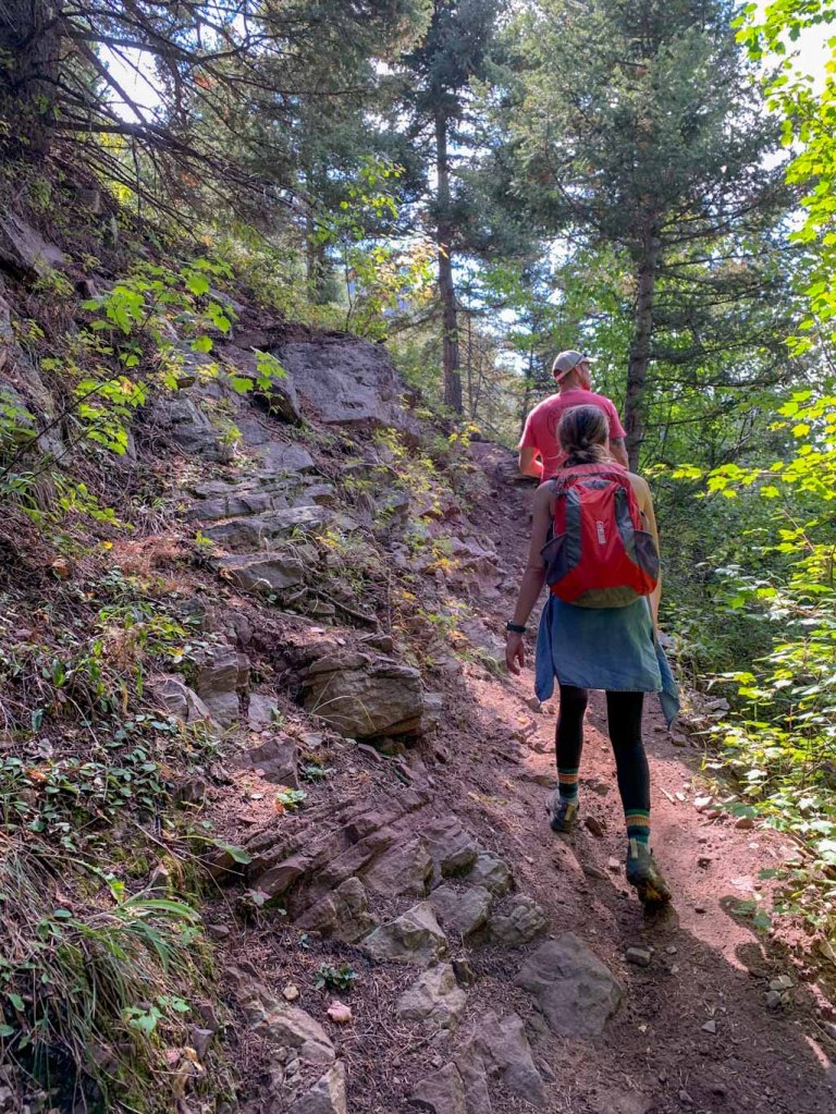
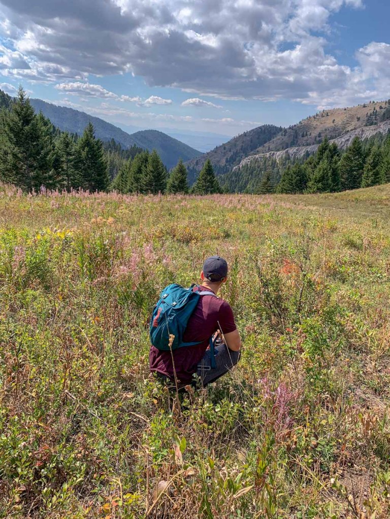
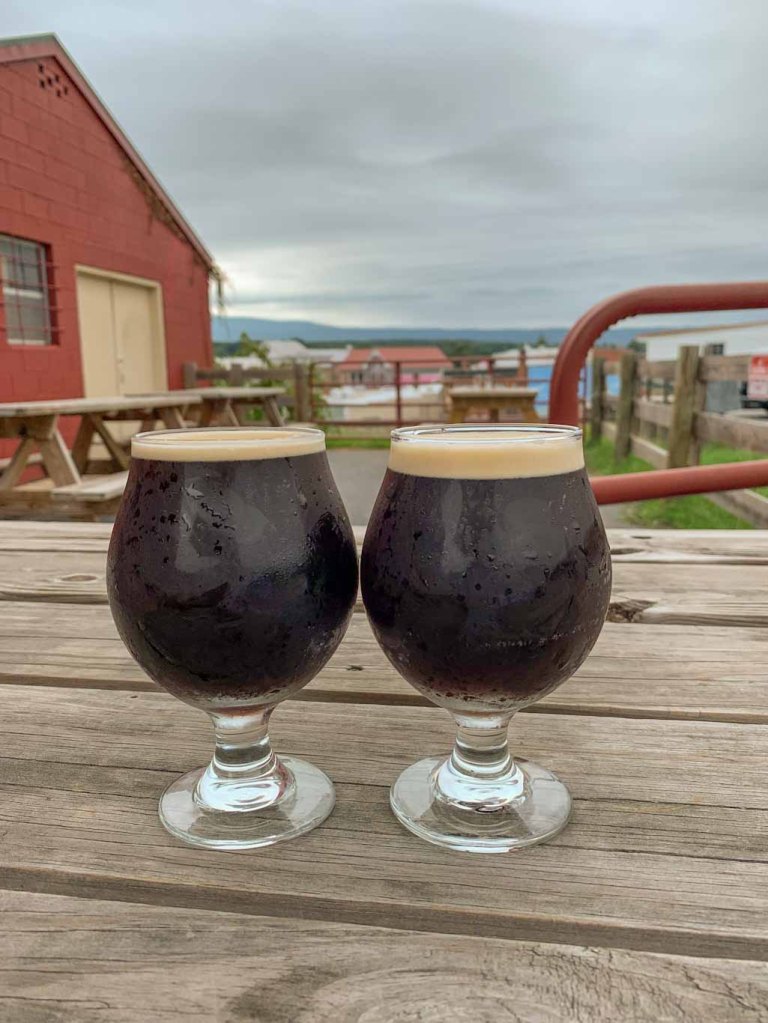
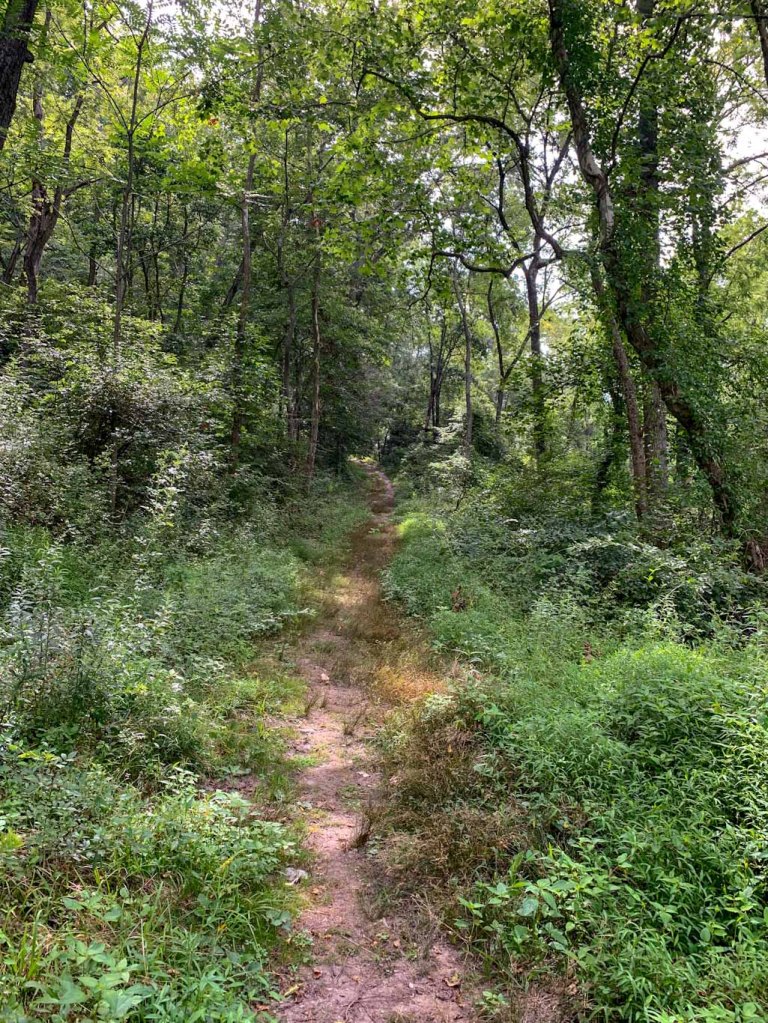
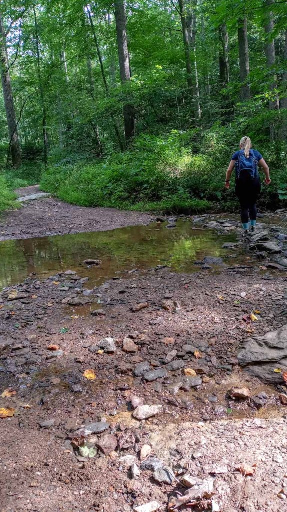
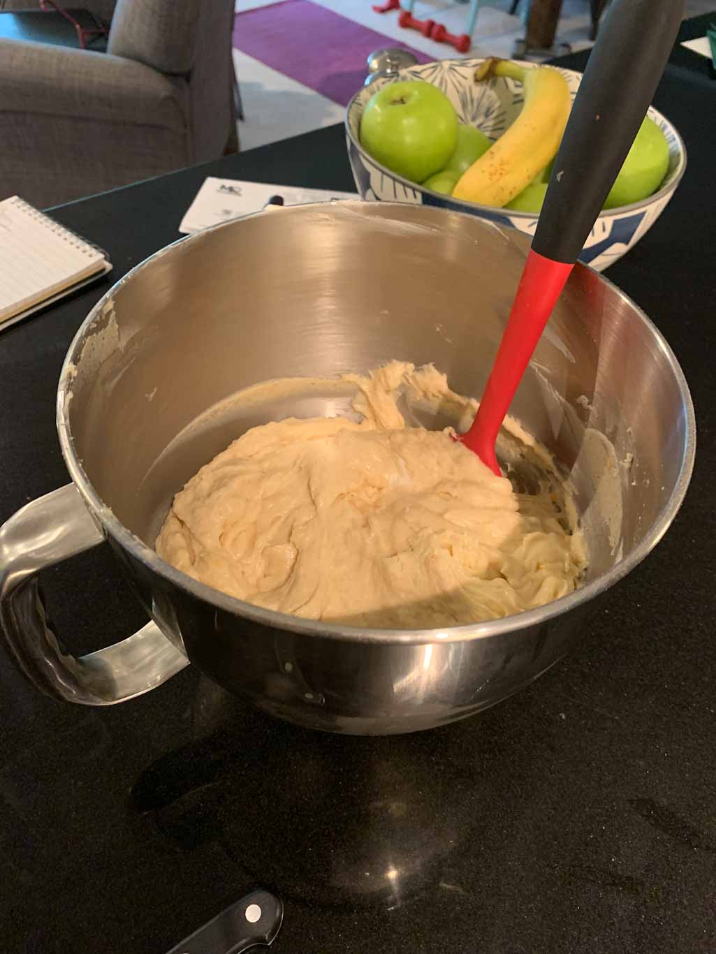
Pawpaws have grown in popularity with the increased interest in local foraging. Pawpaw fruits are notoriously difficult to transport as their flesh bruises easily and they quickly rot once they have been picked. However, more and more people are realizing how easy it is to find pawpaws around their own neighborhoods! On one of our hikes at the American Chestnut Land Trust, J and I found a huge pawpaw grove. Sadly, they weren’t ready to be picked yet. Another weekend, we were walking along the C&O Canal and found a whole group of people harvesting pawpaws. They were kind enough to share their loot with us so we had a tasty snack for our walk. Then finally, I found some pawpaws within walking distance from my home. I actually was out running and completely abandoned that when I found a tree with perfectly ripe pawpaws. I harvested a few, leaving some for others, and brought them home to gather the puree. 

My pawpaw loot

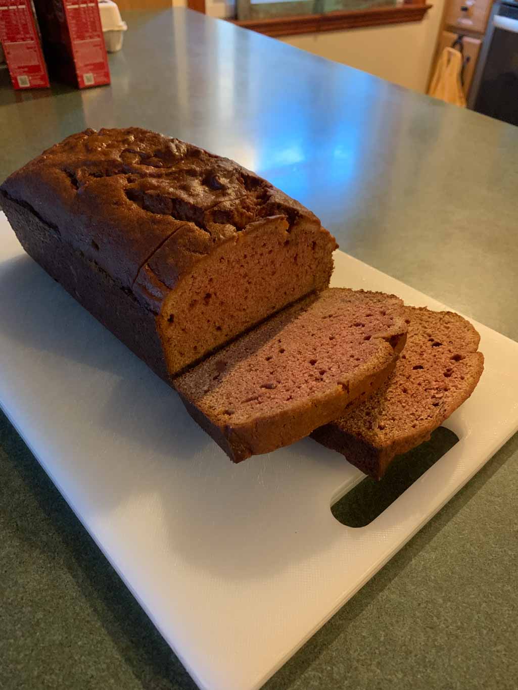
This was my very first attempt at making something with pawpaws. I usually just eat them raw (which is delicious) but I had been hearing a lot about how tasty they are in ice cream or baked goods. I got about 2 cups of pulp from my pawpaws so I decided to make bread. I took my favorite banana bread recipe and just subbed the pawpaws in for the fruit. I thought it was delicious and interestingly the bread turned pink! Apparently pawpaw fruit reacts with baking soda to turn it a light pink color. My whole family really liked the bread and we thought it tasted slightly berry-like. It was perfect for breakfast with a cup of coffee. I’m calling this bake a success! I think next time I would maybe add cinnamon or ginger. Have you ever tried a pawpaw? What did you think?

Hannah’s Pawpaw Bread

1 ¼ cup sugar
2 eggs
½ cup unsalted butter, softened 
2 cups pawpaw puree 
½ c plain Greek yogurt
1 tsp vanilla
2 ½ cups flour

Preheat oven to 350F. Grease the bottom of a 9 in loaf pan. Cream together butter and sugar. Stir in eggs and vanilla. Add pawpaw puree and yogurt. Beat until smooth. Stir in flour, baking soda, and salt until just combined. Don’t over mix! Pour into pans and bake for about an hour and 15 mins. This makes one very large loaf or two smaller loaves. If making muffins, bake for about 25-30 mins. Enjoy!

Resources: 

https://www.wvpublic.org/section/arts-culture/2020-10-09/searching-for-the-pawpaws-indigenous-roots

http://www.arnoldia.arboretum.harvard.edu/pdf/articles/2014-72-1-the-pawpaw-a-forgotten-north-american-fruit-tree.pdf

https://en.wikipedia.org/wiki/Asimina_triloba

https://www.npr.org/sections/thesalt/2017/09/15/550985844/this-once-obscure-fruit-is-on-its-way-to-becoming-pawpaw-pawpular

Bridger Mountains & Mountains Walking Brewing

Bozeman, Montana

Last week J and I took our first vacation in two years! We spent a week hiking through Yellowstone and Grand Teton National Parks. While we got some amazing hiking in there aren’t too many breweries nearby, so we had to get our Hikes & Hops on during our weekend after flying into Bozeman. J’s cousins live there and they were so gracious to take us on a beautiful hike and share one of their favorite breweries with us. It was the perfect way to start out our trip!

THE HIKE: Middle Cottonwood Trail (Bridger Mountains)

Trail map to take Middle Cottonwood to Saddle Peak. Strenuous 9 miles out and back. We only did about 5

Length: 5 miles
Elevation Gain: ~1000ft
Difficulty: Moderate
Time:  3 hours
Trail use: Hikes, Pets, biking
Parking: Small lot at trailhead with additional pull offs along road
H&H: 5/5

Before this trip, I had never been west of Chicago so I thought the mountains I had seen in Shenandoah and Catoctin National Parks were pretty amazing. Well nothing could have prepared me for the sheer beauty of the Rocky Mountains. Bozeman sits on a vast plain between jutting peaks of mountain ranges. For this particular hike, we trekked out into the Custer Gallatin National Forest which encompasses the Bridger Mountains. While we didn’t trek all the way up to a peak, we did get some amazing views on this trail. We took the Middle Cottonwood trail which can connect up to several other longer treks. We took the trail about halfway up to Saddle Peak and decided to turn around at a wide clearing to make about a 5-mile out and back. If you want to continue on to the peak, it’s a pretty difficult trek with a lot of elevation changes. We decided to save our energy for our week in Yellowstone, especially since we could already see a beautiful vista.

One of my biggest concerns about our trip was adjusting to the elevation. We currently live at about 30ft above sea level so flying into Bozeman (which is about 5,000ft) was quite a difference. I didn’t really feel too much until we took on this hike. I am by no means a fast hiker but I like to think that I’m pretty in shape. Man, did this hike humble me! The steady incline and lighter air definitely had me gasping for air at some points! J’s cousins insisted that we did really well but I think they might have been flattering us. The amazing scenery along the way though made up for the tightness in my chest. This trail rambles along the Middle Cottonwood Creek incorporating some easy stream crossings. My favorite! All along the way we met other friendly hikers and even more friendly dogs. When you live in a place like Bozeman, how could you not want to get out on the trails every chance you get?! 

This hike was so different than the kind we usually get to do in Maryland, which made it such a fun challenge. I loved all of the stream crossings and seeing the leaves already starting to change on the trees. It was also so peaceful to rest in the clearing at our turn around spot and see so many different plants and wildflowers. We truly could not have asked for a better introduction to Montana!

THE BEER: Mountains Walking Brewery

Address: 422 Plum Ave, Bozeman, MT 59715
Distance from Trail Head:  10 miles, 22 mins 
Website: http://www.mountainswalking.com/
Food?: Full Menu
H&H Rating: 5/5

Entryway at Mountains Walking Brewery

Guys, Bozeman has SO MANY breweries! It’s really not a big town but it had at least seven different breweries. We let the locals pick the perfect place and they decided on Mountains Walking Brewery in the Brewery Historic District. This was perfect because it also has a full kitchen and all that hiking made us hungry! 

I could not believe the amount of beers that MW had on tap. I had barely finished reading the list when the waitress was already asking for my order. The taplist also features beer from founder and lead brewer Gustov Dose’s other brewery concept New Hokkaido Brewery. Having grown up in Taiwan and Japan, Dose creates beer that combines Japanese brewing with modern influences of the craft beer scene in Bozeman. Needless to say, I was very intrigued and got a hazy IPA that was made with rice as one of the main grains. It was delicious and I definitely should have gotten a flight of all the New Hokkaido beers! Ah well, next time. 

We had a really great time at Mountains Walking! We had amazing beers, my favorite being the Grazing Clouds, a Hazy IPA made with locally grown oats. We also got some pretty stellar food, including a pizza with goats cheese and beets and Tachos, yup that’s nacho tater tots. Pretty life changing! All in all, I was really impressed with Mountains Walking Brewery and I can see why it’s one of the highest rated breweries in the area. 

Our Beer:

  • Junegrass – American IPA – 6.5%
  • Grazing Clouds – NEIPA – 7%
  • Chopping Wood – Festbier – 6%
  • Yabai Tanuki – NEIPA – 6.5% (New Hokkaido Brewing)

SUM UP: All in all, this was such a great intro to Bozeman and the Rocky Mountain region in general. One of the best things about traveling is getting the insider scoop! We were so lucky to have family in Bozeman who showed us around and took us on such an amazing Hike & Hop. They were amazing hosts and even treated us to a campfire dinner at the stunningly beautiful Fairy Lake. We couldn’t have asked for a better start to our National Park adventure. More to come in the future!

Shenandoah National Park & Hawksbill Brewing

Luray, VA

I have been wanting to go back to Shenandoah for ages! The only time I’ve been was a quick drive down Skyline Drive with some friends and it was so cloudy we couldn’t see anything. So when some of J’s college friends wanted to do a weekend in Luray, I was game. The only problem is it was cloudy AGAIN! What luck?! So instead of a beautiful overlook, we decided to tackle the White Oak Canyon trail which feature 6 different waterfalls. The full hike is 9.5 miles but we did about a 5.5 mile loop. Afterwards, we headed back into Luray to grab a beer at the local brewery Hawksbill. It was a great spot and we were taught by the locals how to exactly say Luray ending a long debate among us friends. Apparently it’s LOO-ray if you’re a local and Luh-RAY if you’re an out-of-towner. Insider tips!

THE HIKE: Whiteoak Canyon Trail (Shenandoah National Park)

Length: 9.5 miles
Elevation Gain: 2,400ft
Difficulty: Hard
Time: 4-5 hours
Trail use: Hiking and leashed pets
Parking: Large lot ($35 per car fee to enter park)
H&H: 4/5

Photo faceoff

White Oak Canyon is a fairly popular trail located in Shenandoah National Park near the Skyland Resort. While it doesn’t lead to an amazing vista like the more popular choices such as Old Rag or Stony Man, this out and back trail features 6 different waterfalls! It also climbs over 2,000ft so it’s not for the faint of heart. There are two way to tackle this trail. Either you can start in Shenandoah using the parking lot off of mile marker 43 on the Skyline drive. If you’d rather hike up first and end with downhill, you can start at the other end by parking at the Lower Whiteoak Canyon Fee Station. Since our group knew we weren’t quite up for doing the full trail, we opted to start at the Skyline trailhead. Just a heads up, cell service is very spotty in Shenandoah so make sure you have your trail downloaded ahead of time! Or just go to visitor’s center at Skyland where a very nice guide gave us a map and some trail suggestions.

I really liked this trail because of the huge rock formations along the water. I’m such a sucker for a good water trail and this was no exception. It really felt like you were in an ancient forest. And despite this being a more popular trail, we really didn’t run into too many people until later on at the main falls overlook. I also really liked how we followed the river from where it started as a small trickling stream until it turned into a beautiful waterfall! While it wasn’t the biggest or most impressive waterfall I’d ever seen, it was still majestic in its own way. We spent a lot of time at the overlook relaxing and taking pictures (and taking pics of each other taking pics). Then it was time to hike back up.

Do you ever start walking and not realize that you’re going downhill until it’s time to turn around? Yeah that’s what happened to us. I was so focused on the beauty and not tripping on rocks that I didn’t quite realize how steep the trail had gotten until it was time to turn around. We really got a good workout! If you decide to tackle this trail, make sure you have plenty of water and are ready for a bit of a challenge! Needless to say, we were quite ready for beer after this one.

THE BEER: Hawksbill Brewing

Address: 22 Zerkel St, Luray, VA 22835
Distance from Trail Head: 21 miles, 35 mins
Website: https://www.hawksbillbrewing.com/
Food?: Bring your own!
H&H Rating: 4/5

Okay okay, I know I said I usually try to keep the brews less than 30 mins from the trailhead. But I hope you’ll let this one slide since more than half of the drive is along the beautiful Skyline Drive in the national park!

Hawksbill Brewing is a small brewery in Luray, Virginia which prides themselves on being grown here and brewed here. They partner with local farms in the county to source the freshest ingredients and even make their Hooray for Luray using their own homegrown Cascade hops! Their beer was pretty good and was all the more refreshing after our exhausting hike. Even better though, Hawksbill was one of the friendliest breweries we’ve ever been to. It had such a great small town vibe and we instantly felt welcome. They had a sizable taproom with bar and table seating, as well as picnic tables outside with a lovely view of the mountains. It was too bad that we had to drive home or I could have stayed here all evening!

OUR BEER

  • Hooray for Luray – IPA – 6.3%
  • Seven Days a Wheat (Watermelon) – Wheat Beer – 5.25%
  • Brown Cow – Milk Stout – 6.1%
  • Cock Your Doodle Doo – Stout – 6.3%

SUM UP: 

Whiteoak Canyon is a difficult hike in Shenandoah National Park that features six waterfalls. It has steep elevation but you’re rewarded with incredible views all along the way. Make sure to bring plenty of water and have sturdy shoes! After you finish up this challenging hike, reward yourself with a cold one at Hawksbill Brewing Company. They have a variety of beer styles with a focus on locally grown ingredients. It’s a proudly local place and you may find yourself chatting with the table next to you. If you’re looking to get out of the city, this is the perfect hike & hop for you!

Prettyboy Reservoir & Farmacy Brewing

Reisterstown, Maryland

I’m gonna let you in on a little secret: Maryland has its own slice of the Pacific Northwest. Don’t believe me?! Well you need to take a trip up north of Baltimore to hike along the Gunpowder River leading into the Prettyboy Reservoir. The hike itself is called Hemlock George Extended Loop and it’s probably some of the most beautiful scenery I’ve ever seen in Maryland. Be prepared for rock scrambles, inclines, and a bit of overgrown trails. And after all that, a cold one at Farmacy Brewery will taste pretty refreshing!

THE HIKE: Hemlock Gorge Extended Loop – Prettyboy Reservoir

Beginning of the trail is a little overgrown

Length: 6.3 miles
Elevation Gain: 920 ft
Difficulty: Moderate
Time: ~3 hours
Trail use: hiking, leashes pets
Parking: gravel pull off road
H&H: 3.5/5

This trail is one of Maryland’s best kept secrets. The area along the river is some of the most lush, beautiful places I’ve ever seen in Maryland. I’m not joking when I say you’ll think that you’ve suddenly been dropped in the Pacific Northwest!

To access this trail, park along Gunpowder Road in the gravel pull off. The trail begins across the road. It’s a little overgrown so look closely for the entrance! After hiking up the hill, there’s a small cemetery. That’s how you know you’re on the right track. The first two miles of this hike were absolutely my favorite part. The views were incredible, we had the place nearly to ourselves, and I LOVE scrambling over big rocks! I highly encourage you to take as much time as you can along this trail. We could have spent the whole day taking picture after picture. 

The rest of trail mostly looked like this. Nice but nothing compared to the gorge.

The rest of this trail was frankly rather boring which is why my rating isn’t very high. After you complete the loop along the river, walk along the road for a bit to another trailhead. This is actually a fireroad, so while it’s wooded it’s still a very wide trail with some long grasses. After the amazing sights of the gorge, this section was a bit of a letdown. Finally you leave the fireroad and take a smaller, more woodsy loop which was more pleasant. It was a really good stretch of the legs with some inclines to keep the heart rate up! It’s very quiet and we heard so many birds and even saw a snake! No pictures since I yelped and then took off at a brisk pace. 

There were a couple small stream crossings

I would suggest doing this trail in reverse so that you end with the amazing gorge. Or if you don’t care about distance, just do the gorge loop. It’s about 2 miles. I think if I were to go back, I would do the gorge trail loop twice and maybe explore around a little more! Also take a good look at the map before you get on the road since this is in a remote area with limited cell service. If possible, download the offline version of the trail map and make sure you have a decent idea of where to park. It was very quiet the day we went, but the parking area is small so it could fill up quickly

THE BEER: Farmacy Brewing

Address: 3100 Black Rock Rd, Reisterstown, MD 21136
Distance from Trail Head: 13.2 miles, 19 mins
Website: https://www.farmacybrewing.com
Food?: Food Truck or bring your own!
H&H Rating: 5/5

Farmacy Brewing seriously wowed us! So full disclosure, this was not our first choice for a beer after our hike. We stopped at another place and frankly did not have a good time so we decided to check out Farmacy. And thank god we did because Farmacy Brewing was just what the doctor ordered! I don’t know about you, but I LOVE farm breweries. I love sitting outside away from it all and I especially love when beer ingredients are grown onsite. Well we hit the jackpot here because not only was there ample outdoor seating (even live music!) but every single beer on tap had a homegrown ingredient. Farmacy brewing is part of Willowdale farms, a working farm that also houses horses. In fact, the taproom is built into an old horse stable!

Beet Beer!

We also had an amazing experience with the staff. Usually, I like to pick my own beer but this day the beertender was chatting with us about hiking and what we like to drink and asked if he could pick our beers. We loved everything we got and it was nice because we tried things that we wouldn’t usually seek out! While everything was delicious, my two favorites were the Beetbox, an IPA dry-hopped with beets and the Chestnut Avenue, a cold IPA which means that it’s an IPA brewed like a lager. So it had all of the juiciness of a NEIPA without the thickness! All the beers we had were amazing. Even though it was quite the drive for us, we will definitely be back!

Our Beer:

  • Chestnut Avenue – Cold IPA – 7.2%
  • Eager Tessie – Saison – 6.2%
  • Beetbox – IPA – 7.2%
  • Raid the Bag – Double IPA – 9%

SUM UP: The Hemlock Gorge trail is part of the Prettyboy Reservoir Cooperative Wildlife Management Area, owned by the City of Baltimore. To access the Hemlock Gorge trail, park off Gunpowder Road. The first 2 miles is a gorgeous loop along the river gorge which is one of the most beautiful spots in Maryland. The rest of the hike is a simple yet peaceful wooded walk. Afterward, go to Farmacy Brewing located on a working farm where every beer made has a homegrown component. The farm is quiet and peaceful and the staff are happy to chat about the beer. We never wanted to leave! Be sure to say hi to the horses before you head out