Franklin, PA
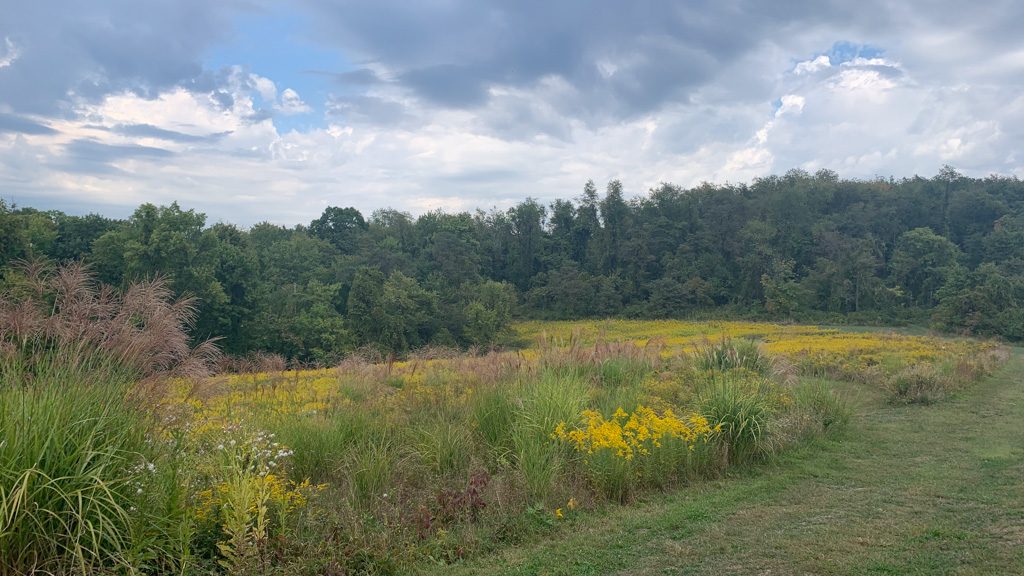
Travel north of Pittsburgh to the Kennerdell Tract of Clear Creek State Forest to tackle this beautiful loop on a ridge over the Allegheny River. The hike features towering hemlock trees, a stunning overlook, and stream cascades, all of which make it a great hike to tackle during the winter season. Afterward, venture to the town of Franklin to grab a brew and a bite at Trails to Ales. With a cozy taproom and delicious food, you’re sure to stay a while!
THE HIKE: Allegheny Gorge and Dennison Overlook
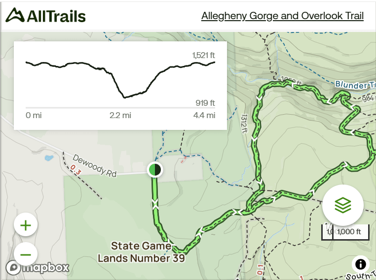
Length: 4.5 miles
Elevation Gain: 650 ft
Difficulty: Moderate
Time: 2-2.5 hours
Trail use: Hiking, leashed pets
This trail crosses into state gamelands so please be aware and wear hunter orange during all hunting seasons. Check out this post for more information about hiking safety during hunting season.
Where to Park: 41.26884167688875, -79.87212916994663. Park at the end of Dewoody Road in Polk, PA. There’s a large dirt parking area that may be difficult for small, 2-wheel-drive vehicles to traverse. Avoid parking on Kennerdell Road in the small pull-off where parking may not be allowed.
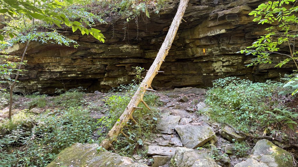
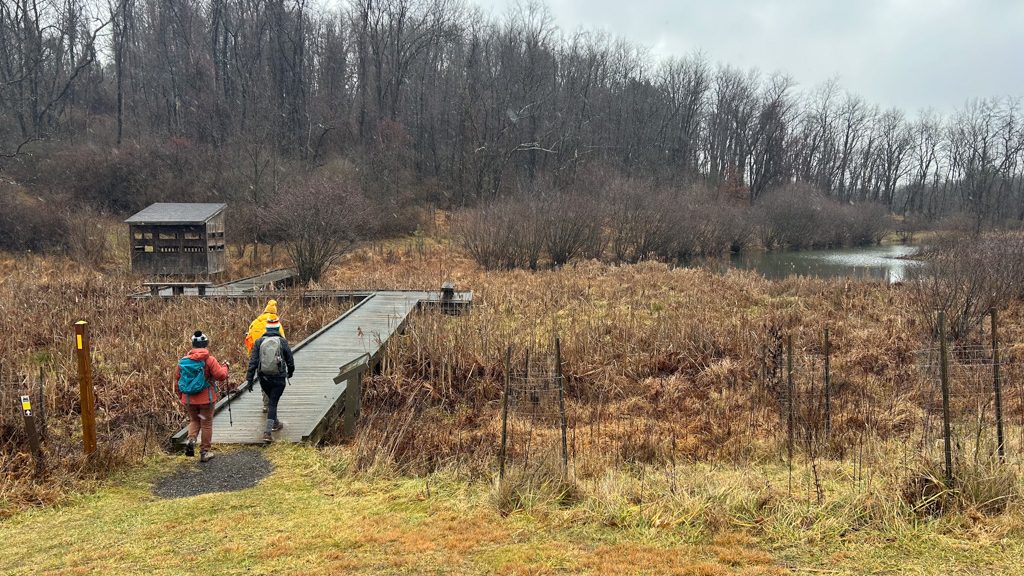
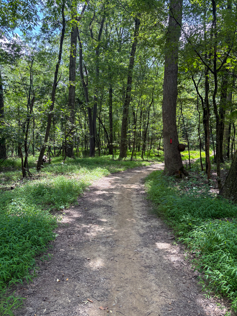
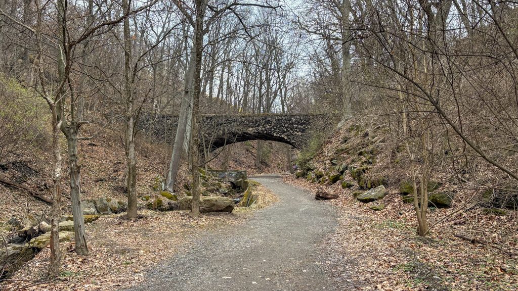
The Route: This route winds through dense forests, following a charming stream. There are several bridge crossings over the stream and a steep climb to an overlook of the Allegheny River. This route traverses the Kennerdell Tract of Clear Creek State Forest.
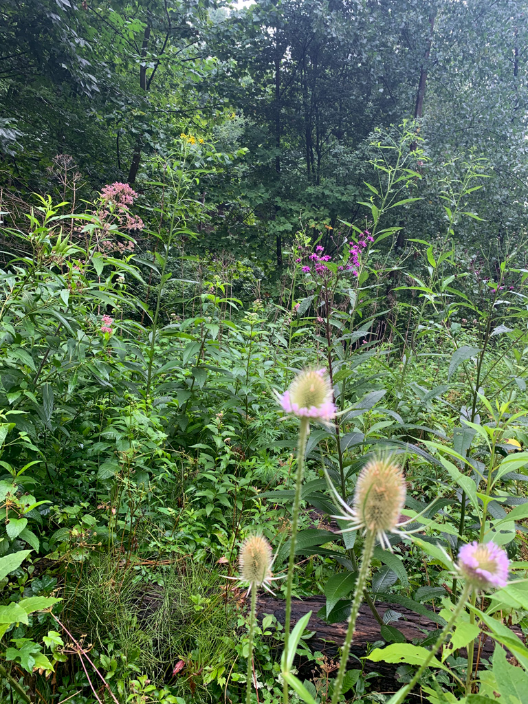
From the parking lot on Dewoody Road, cross back over Dewoody Road and start down the access road. Be aware that this section is part of State Gamelands 39. After about 1/4 mile, turn left to get on the Kennerdell Trail which is labeled with a trail sign and marked with yellow blazes. At about 1 mile, you’ll reach a trail junction. Bear to the left to get on Dennison Run Trail which is also marked with yellow blazes. This trail meanders slowly downhill alongside a trickling stream that gently cascades over moss-covered rocks. The surrounding hemlock trees make for a beautiful green expanse at all times of the year.
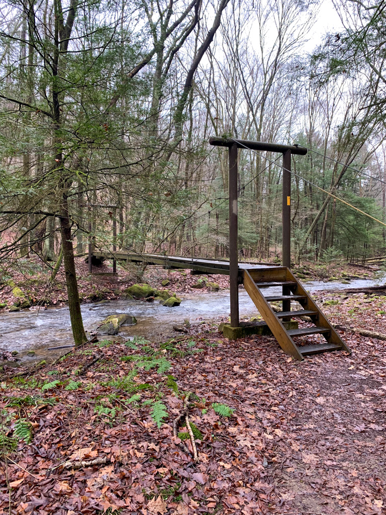
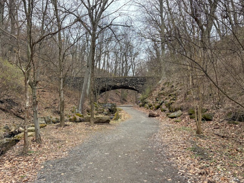
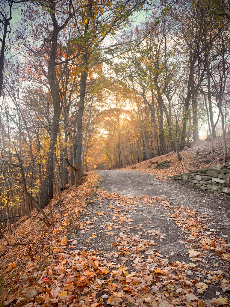
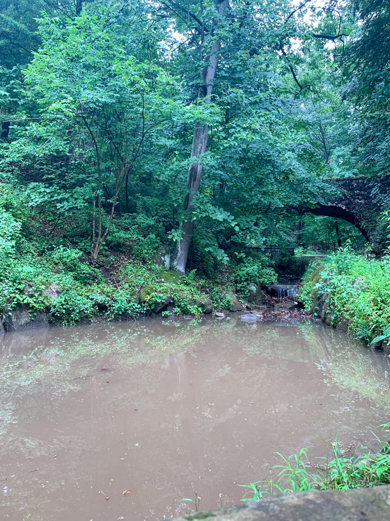
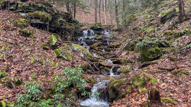
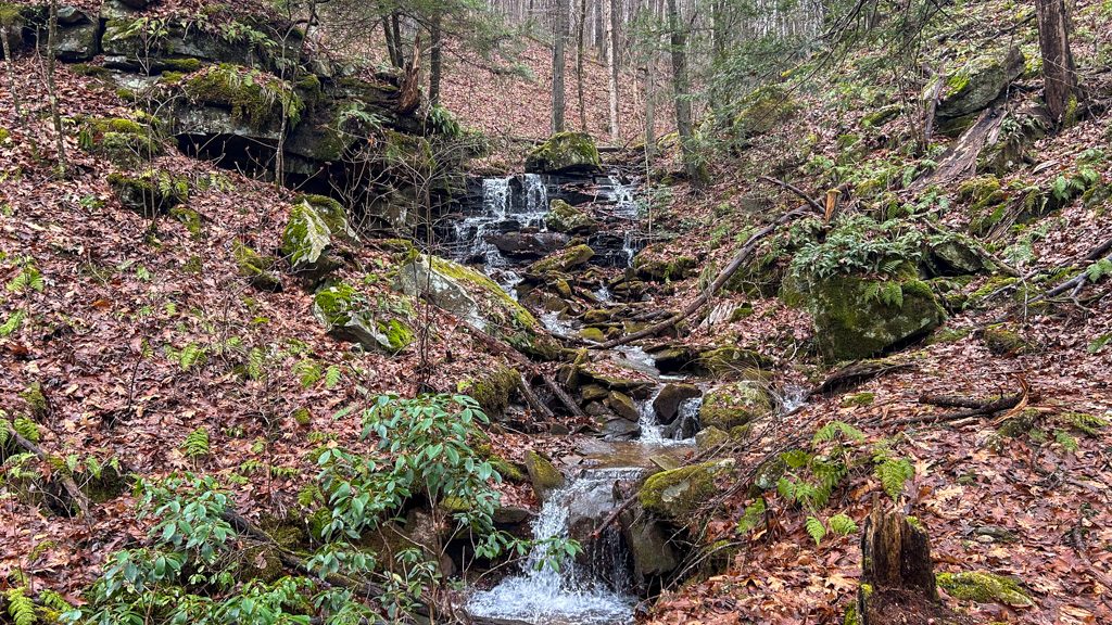
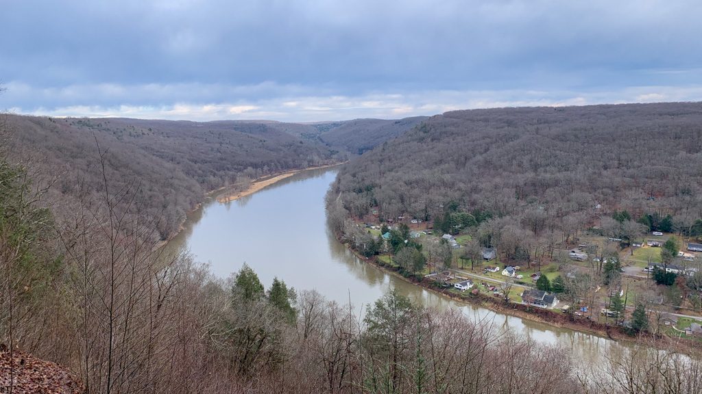
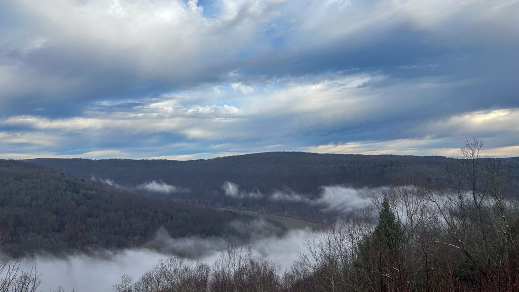
After just under a mile, you’ll reach the bottom of the hill where the stream meets up with Dennison Run. To the left is Goat Trail, which links up to a whole system of shared-use trails (biking, horseback riding, and hiking) as well as a roughly 10-ft unnamed waterfall that is stunning in the winter. To continue on the route, bear to the right to stay on Dennison Run Trail. From here, the trail is mostly flat, using rustic suspension bridges to frequently cross over the stream. After 0.5 miles, take the right Overlook Trail to head up the hill. This is the hardest climb of the hike, and where the bulk of the elevation gain is! You’re rewarded for your effort by reaching the Dennison Point Overlook, a soaring vista of the Allegheny River and the below town of Kennerdell.
After taking in the majestic views, turn to the left on the Overlook Trail to continue the loop. This section of the trail is flat and easy to traverse. After 0.5 miles, you’ll meet back up with the Kennerdell Trail. It will briefly skirt around a campground before returning to the same trail junction from the beginning of your hike. Now you just retrace your steps along the trail to the access road and finally back to the parking area.
Other Attractions: Drive to the nearby Kennerdell Overlook for a stunning view across the Allegheny River Gorge. There’s also the 29-mile Allegheny River Trail, a rail trail that runs through the over 3,000 ft long Kennerdell Tunnel
THE BEER: Trails to Ales Brewery
Address: 1270 Liberty St, Franklin, PA 16323
Distance from Trail Head: 12 miles, 22 mins
Website: https://trailstoalesbrewery.com/
Food?: Full Menu
Details: Parking lot, NA options, indoor seating only, no pets, kids food menu
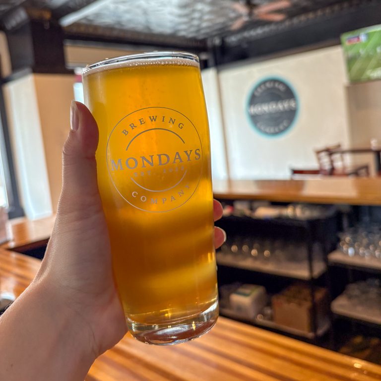
Tucked onto the main drag of “Always Eventful” Franklin, PA is Trails to Ales Brewery. The bar & grill opened in 2017 and, since then, has been a gathering place for locals and visitors alike. Franklin itself is a small, historic town, and that is clearly reflected in the Trails to Ales taproom. The exposed brick and tin ceiling harken to a prior era, while the rustic wooden bar creates a warmth and coziness. The Liberty Avenue taproom has a wide range of brews, including year-round favorites and seasonal specialties. They also have house-made hard seltzers and stock some canned NA beers.
After a day of hiking, the extensive food menu is sure to have something of interest. From pub appetizers to pizza to hot stone steak, you won’t be leaving hungry! If you’re looking for a unique experience, check out Trails to Ales II, the brewery’s newest location that also houses its production facility. The huge warehouse-style space is open on most weekends and has a large outdoor space, self-service taps, and live music. I only visited the original taproom, but would definitely check out the new location on my next visit!
As evidenced by the brewery’s name, the business is a love letter to the great outdoors of Venango County. In fact, a percentage of the sales from their flagship beer, Holden’s Dream (a steam beer) goes to support the Allegheny Valley Trails Association. I love it when a brewery is passionate about their local trails!
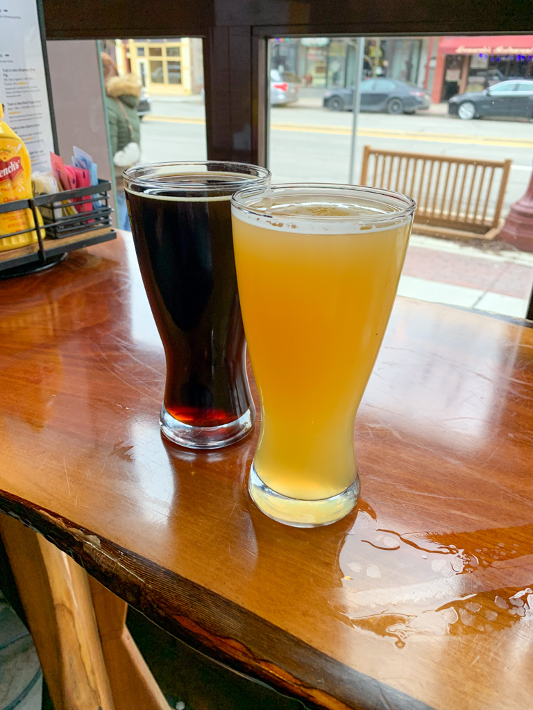
Our Beer:
- Allegheny River Fog – NEIPA – 5.8%
- Mud Puppy Stour – Milk Chocolate Stout – 5.5%
Looking for more Hikes & Hops in Northwestern PA? Check out Erie Bluffs & Twisted Elk, Beartown Rocks & Mechanistic Brewing, Cook Forest & Lost in the Wilds Brewing, or Wolf Creek Narrows & Big Rail Brewing.
Looking for more adventures in Pennsylvania and beyond? Check out my new book: Beer Hiking Pennsylvania and New Jersey