
McConnells Mills State Park spans over 2,500 acres of the Slippery Rock Gorge, a National Natural Landmark. With stunning rock formations, waterfalls, and a picturesque gristmill and covered bridge, this park is worth the drive to Lawrence County, PA. Whether you’re looking to hike the day away or for an outdoorsy spot to bring the whole family, a trip to McConnells Mill is beautiful at any time of year.
- Know Before You Go
- How to get to McConnells Mill
- Hiking in McConnells Mill
- Other Things to Do
- Nearby Attractions
Know Before You Go
- Free Entry – PA State Parks and Forests are free for all visitors!
- 40 miles North of Pittsburgh – but not reachable by public transportation.
- Navigation – cell service can be spotty, so download trail and driving maps before leaving home
- Pet Friendly – leashed dogs are welcome on all trails. Check below for trail difficulty
- No Swimming – Swimming is prohibited at the park due to rocks and rapids
- Hunting – Some areas are open to hunting, so always wear orange during hunting season! Check the PA Game Commission for more information about hunting seasons.
- Accessibility – Handicap parking is available at the historic gristmill. Please note that there are no ADA-accessible trails or facilities available. Call the park office to confirm accessibility for tours of the mill.
- Weather – The park area is often colder than the surrounding areas and is prone to icy conditions. Check conditions before heading out and wear proper gear.
How to get to McConnells Mill
There are a few different parking areas for accessing trailheads at the park. The main parking area is the Kildoo Picnic Area. The park is approximately 40 miles north of Pittsburgh on I-79. Take the exit for PA-488, then get onto US-19N. Then follow Kildoo Road (T316) to the parking lot.
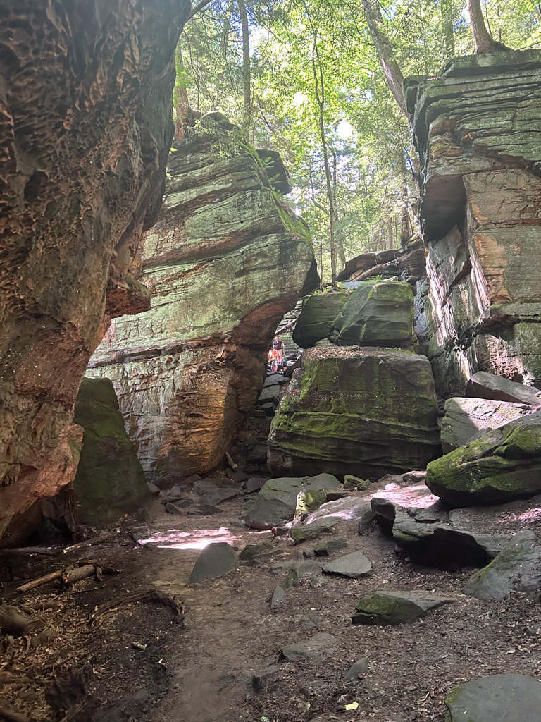
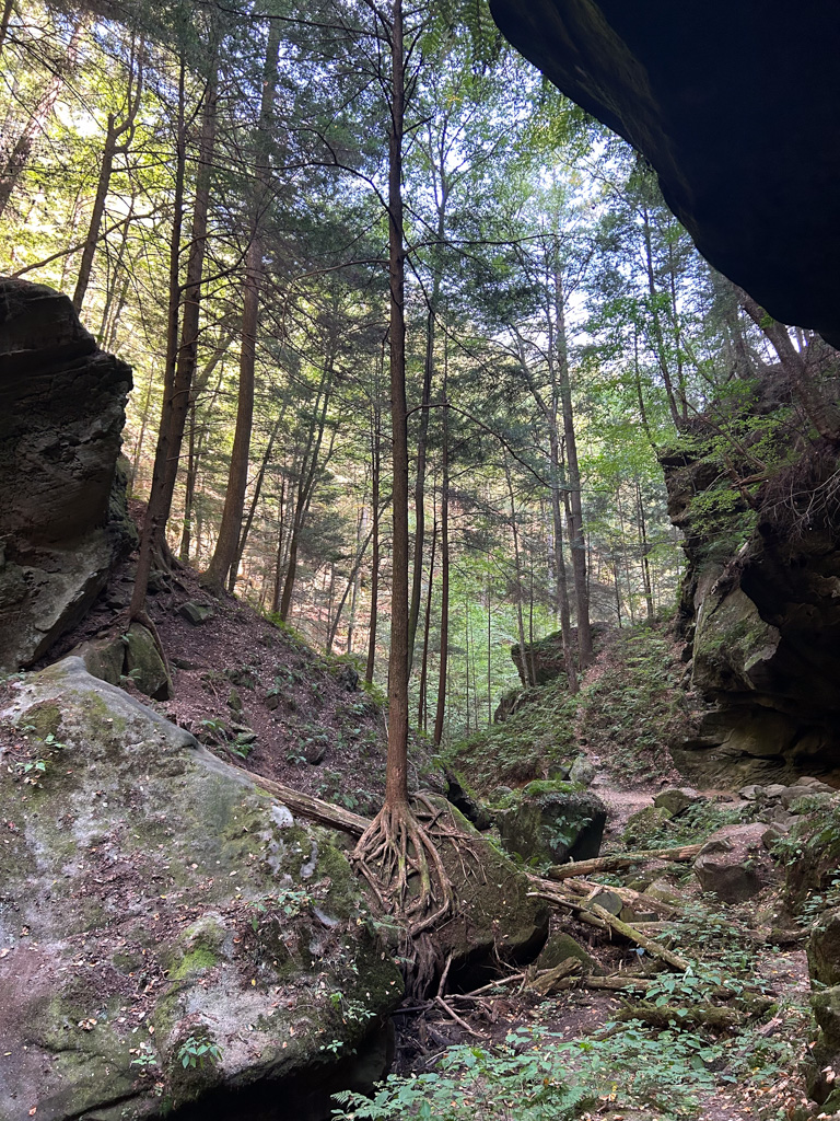
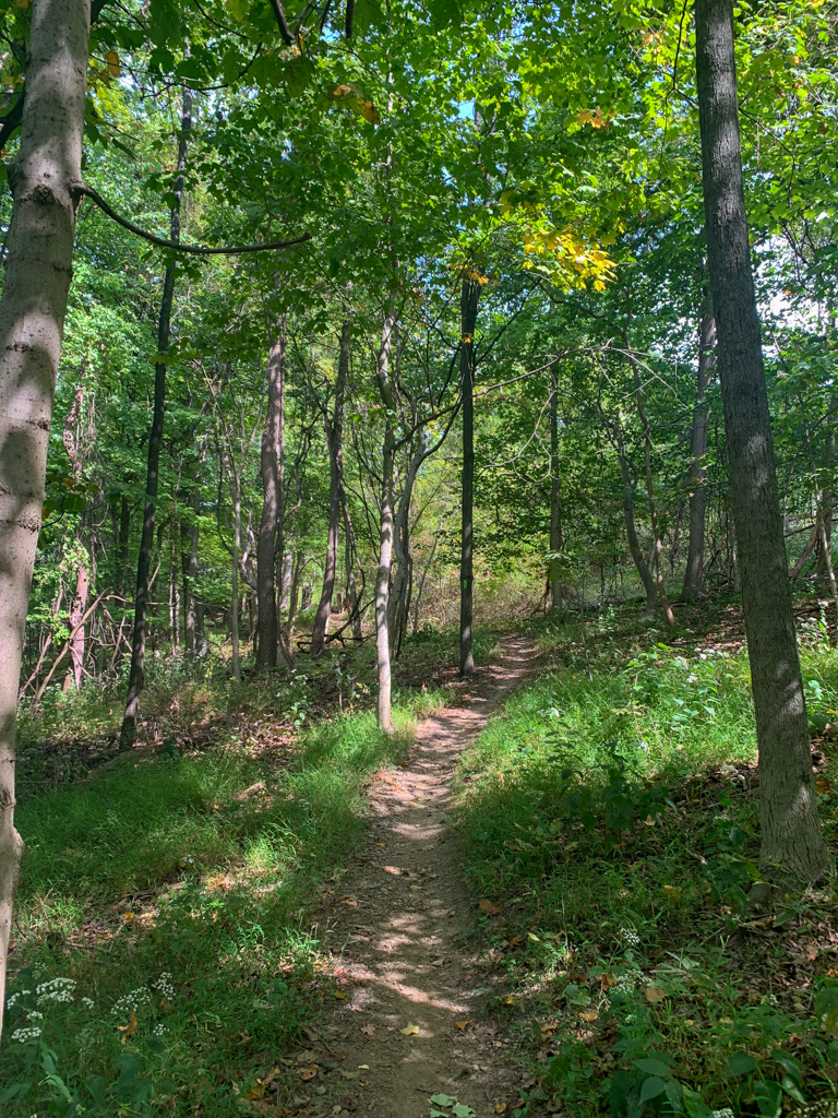
Hiking in McConnells Mill
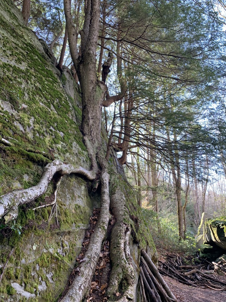
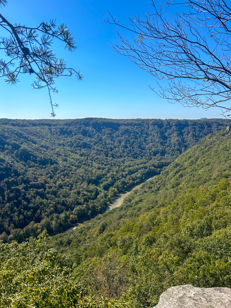
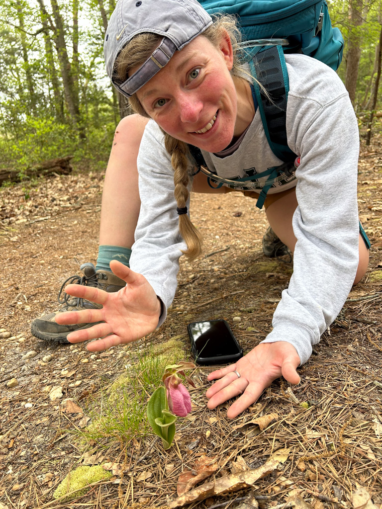
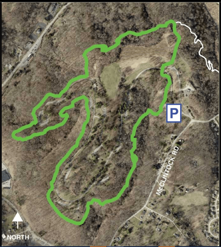
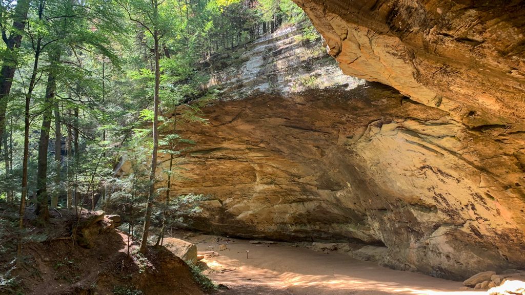
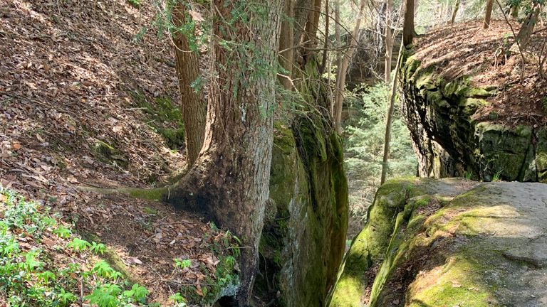
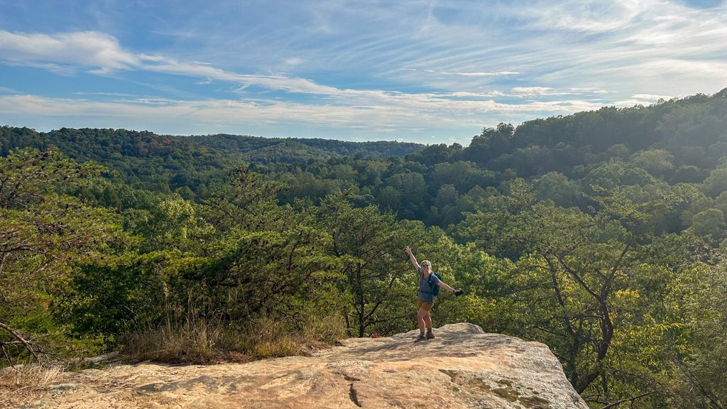
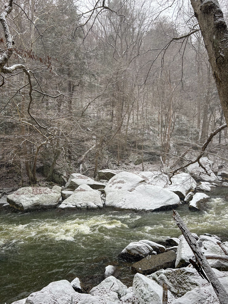
There are over 11 miles of trail in McConnells Mill, including 7.5 miles of the North County Trail. You can combine trails to make a loop or stick to out-and-back trails. This park has plenty to see without a long hike, so it’s a great spot for families or new hikers. The hardest trail is the Slippery Rock Gorge Trail, which only experienced hikers should tackle. See below for a breakdown of the park’s trails!
Easy Hikes
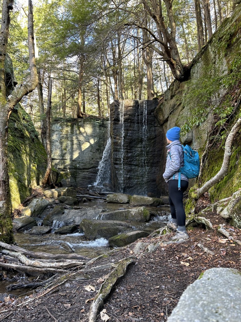
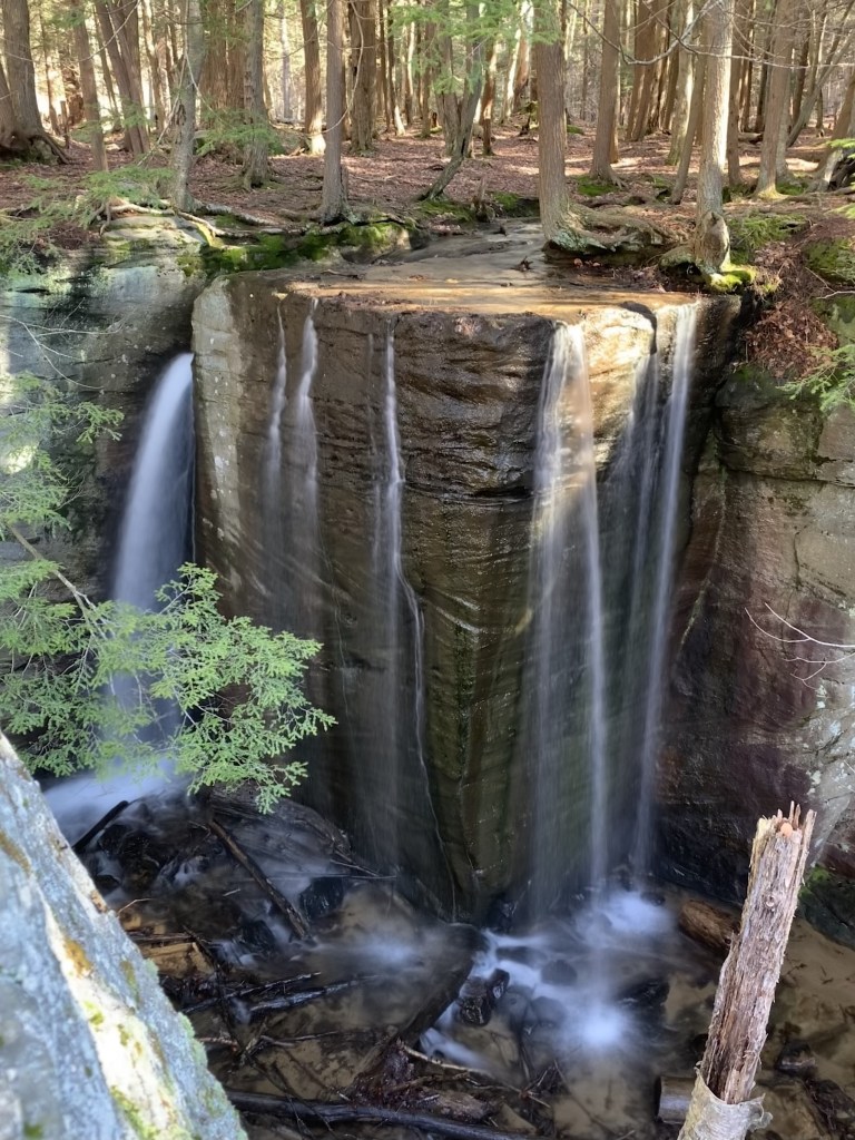
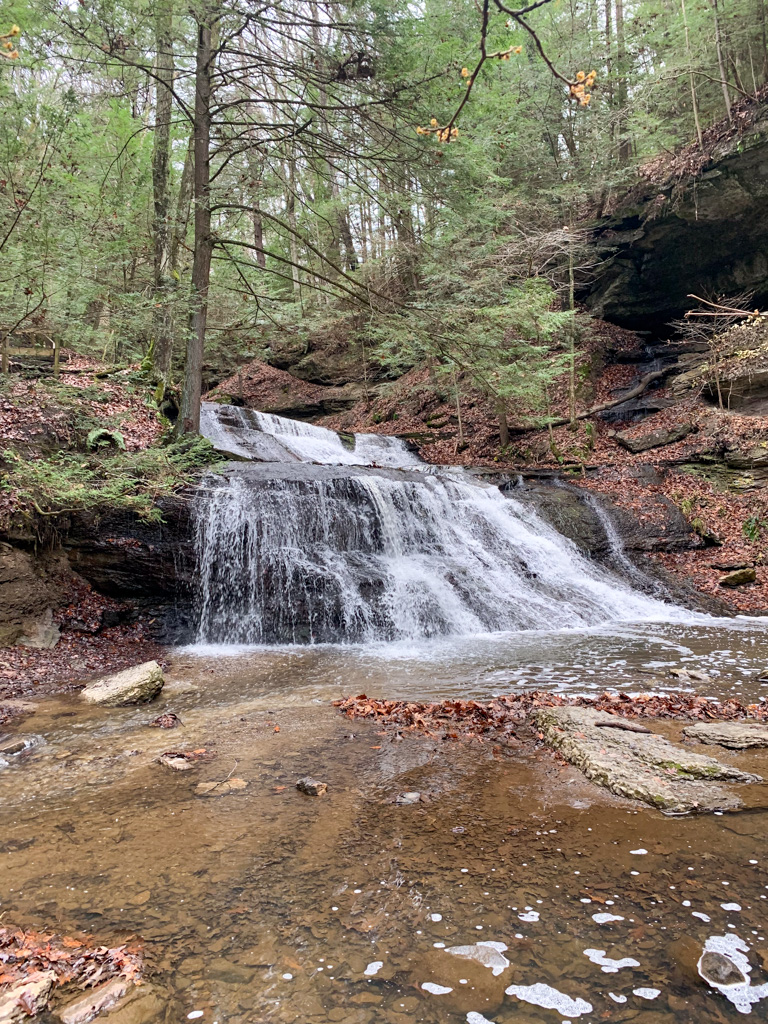
- Alpha Pass Trail (1.0 miles, out-and-back) – Start at the gristmill and head to the right on the blue-blazed Alpha Pass. The trail is fairly flat and even, but can be icy in the winter. Be aware that the creek is fast-running and not open for swimming. Leads to Alpha Falls, the tallest waterfall in the park, although best visited after a rainy spell.
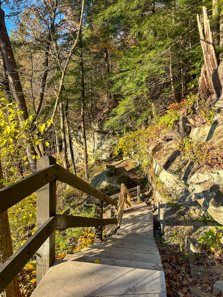
- Hells Hollow Trail (1.0 miles, out-and-back) – Start at the Schaffer Run Road parking lot. It’s an easy 0.5 miles out and back. The most difficult part is the final staircase down to the falls. The stairs end in the creek, and you’ll have to step over stones for the best view of the falls. Be aware that this can be difficult in the Spring when the water is high.

Moderate Hikes
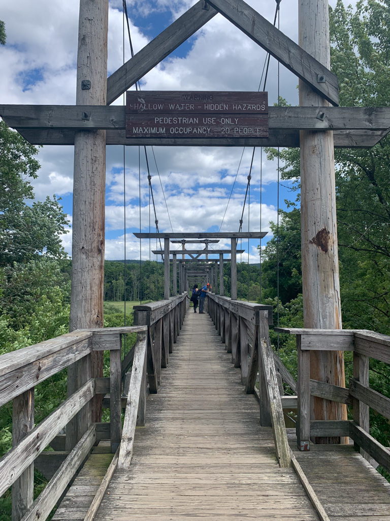
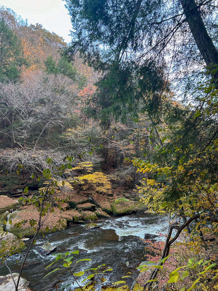
- Kildoo Trail (2.0 miles, loop) – This is my favorite loop in the park. It also starts at the Mill and begins by following along the marked Kildoo Trail to the left of the Mill. This trail hugs the creek and is rocky and full of little waterfalls and runoff streams. It’s very beautiful, but new hikers might find the rocky terrain difficult. After about a mile, reach Eckert Bridge and cross over towards the Slippery Rock Gorge Trail. Bear to the right to hike alongside the opposite side of the creek. This side is higher up and slightly more rocky, but it makes for an exciting challenge. Finally, you’ll close the loop by crossing through the covered bridge.
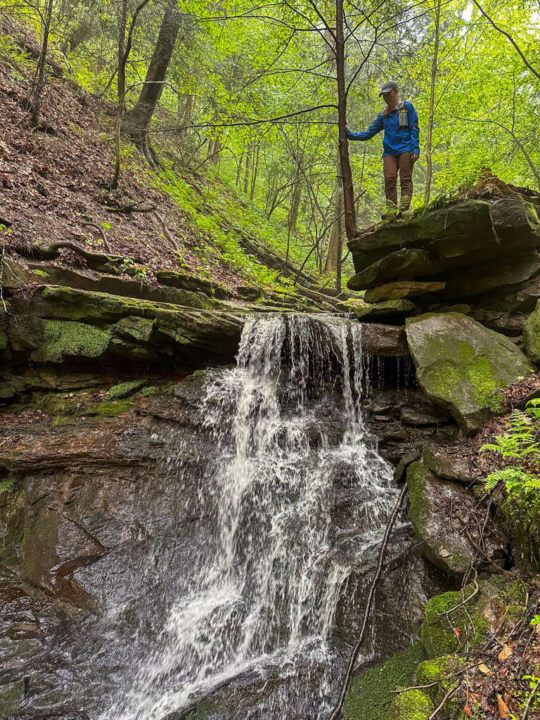
- Breckneck Falls (0.5 miles, out-and-back) – Another short hike to see a lesser-known waterfall in the park. Turn to the left from Eckert Bridge to start on the Breakneck Falls trail. It’s an easy hike with a very shallow stream crossing. The only difficult section is right at the mid-point to access the falls
Difficult Hikes
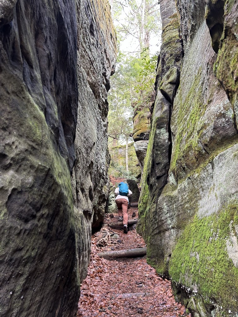
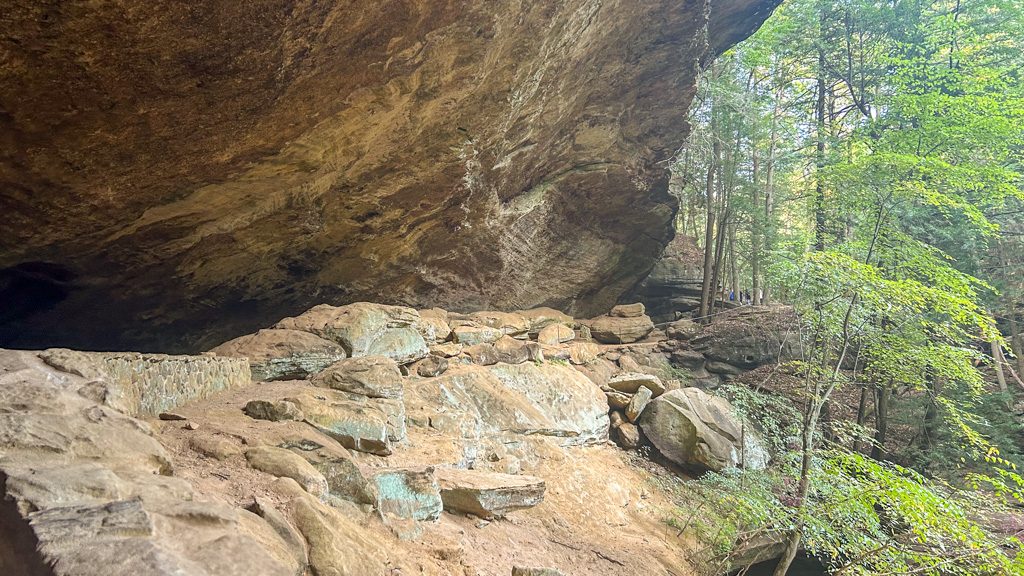
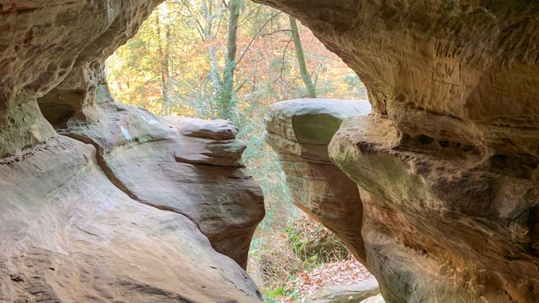
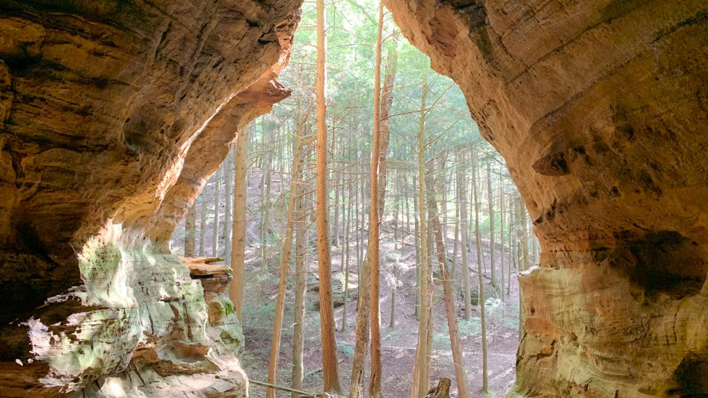
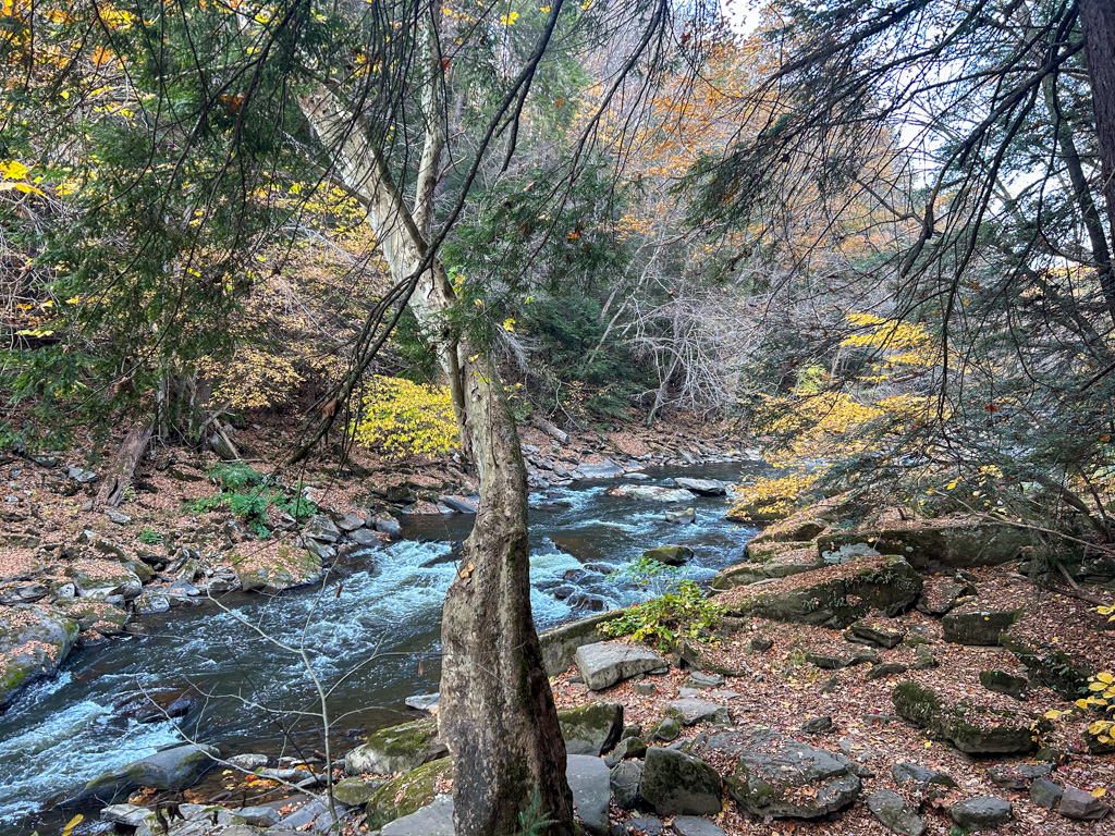
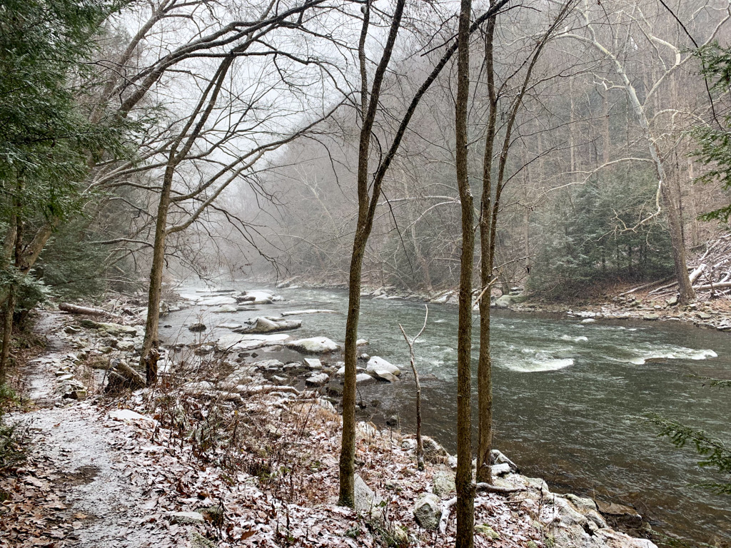
- Slippery Rock Gorge Trail (6.2 miles, one-way) – This one-way (also called point-to-point) trail spans the length of the park, following along Hell Run until it meets up with Slippery Rock Creek. It is a rugged, difficult hike leading through the natural beauty of the Slippery Rock Gorge National Natural Landmark. If only going one way, you’ll need two cars, leaving one at the Schaffer Run parking lot and the other at the Kildoo Picnic Area lot. Starting at the Schaffer Run Lot, follow the signs for the Slippery Rock Gorge Trail (blue blaze). Along the trail, you’ll encounter old-growth forests, a natural landbridge, hidden waterfalls, and stream crossings. The trail leads all the way to the covered bridge and gristmill. For a real challenge, try this as an out-and-back, adding in the Kildoo Trail for a loop at the halfway point before heading back along the Slippery Rock Gorge Trail. If tackling the whole trail, make sure to bring plenty of water and snacks, and give yourself ample time to complete. When a friend and I tackled the full out-and-back, it took the better part of 5 hours.
Other Things to Do
Gristmill Tour
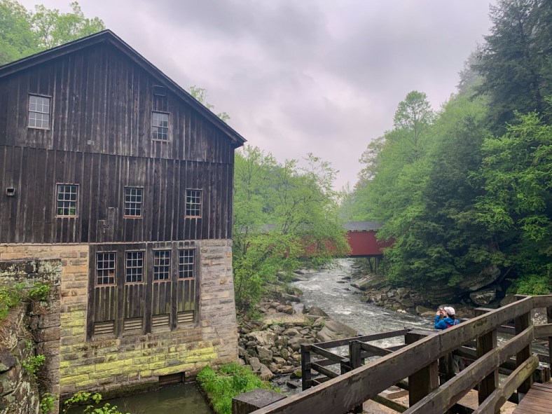
A 19th-century gristmill is a key feature of the park. For decades, this mill served as a hub of the community where farmers brought their grains to be milled into flour. The mill eventually closed in the 1920s and was eventually transferred to the state for long-term preservation. Today, you can tour the mill and learn more about how it used the creek waters to grind grains.
The historic gristmill is open for tours on select days during the summer season. It’s usually open from 10:30-3:30 Wednesday thru Sunday, starting on Memorial Day. But make sure to call the park office for more details and to confirm opening times.
Geology Trail (Driving & Hiking)
The region that encompasses McConnells Mill State Park has a fascinating geological history. Follow along the Trail of Geology in McConnells Mill and nearby Moraine State Parks for a fascinating explanation of the rock and water features in the area. Stops 1-6 are located in McConnells Mill and can also be accessed by hiking!
White Water Boating
There are no rentals at McConnells Mill, but there are several points to launch personal crafts. Depending on the water level and season, the creek is rated as a Class II to IV river. The rapids can be quite dangerous and should only be attempted by experienced boaters. Also, boats are not allowed over the dam, so all boaters must exit the creek and return no less than 50 feet downstream. For more information about whitewater boating and safety, visit the State Park’s website.
Picnicking
There’s no overnight accommodations at McConnells Mill State Park, but there is a large picnic area at the Kildoo parking area with picnic tables, charcoal grills, bathroom facilities, and a field for playing. There’s also an ADA-accessible pavilion that can be reserved. This is a great spot to have lunch after exploring!
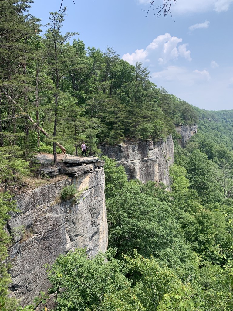
Rock Climbing
McConnells Mill is one of only four state parks in PA that allow rock climbing! There are two designated climbing areas: Rim Road and Breakneck Bridge. If going climbing, please exercise extreme caution. The routes should only be tackled by experienced climbers.
Nearby Attractions
Want to know what else to do near McConnells Mills State Park? If you’re craving more outdoor time, check out nearby Moraine State Park for swimming, boating, biking, and more, and Jennings Environmental Center for hiking, birding, and environmental education.
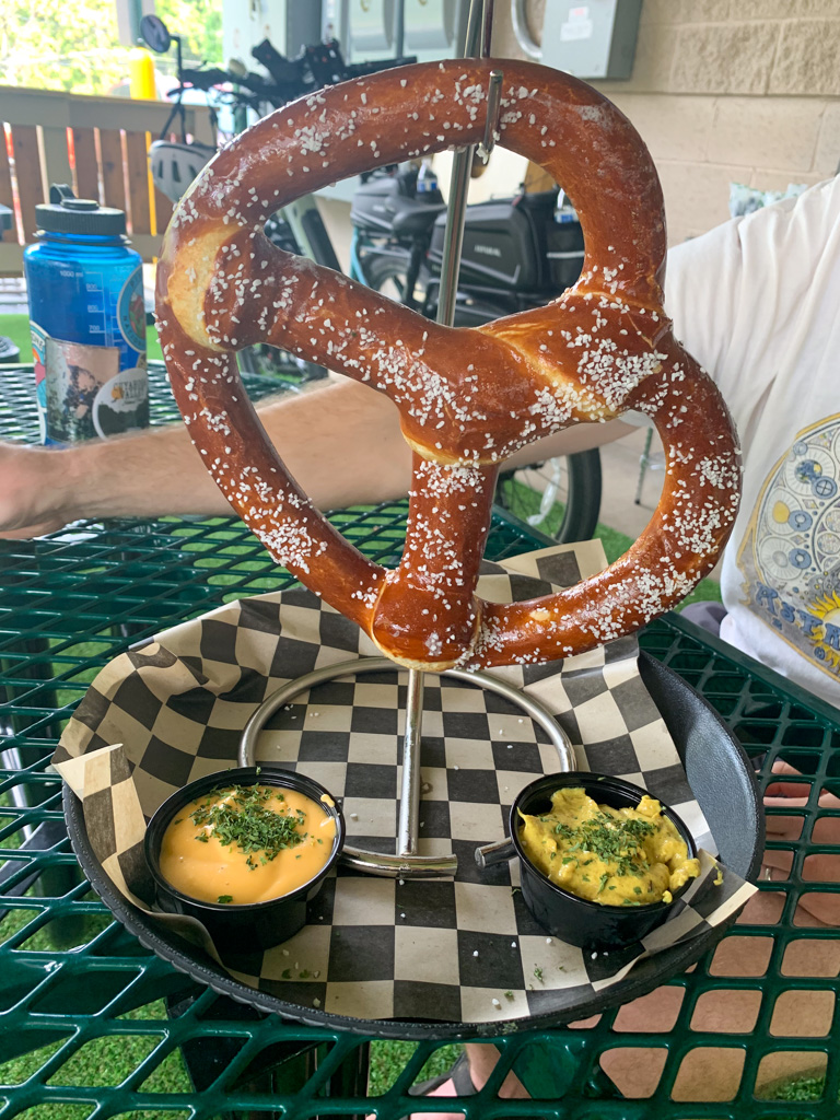
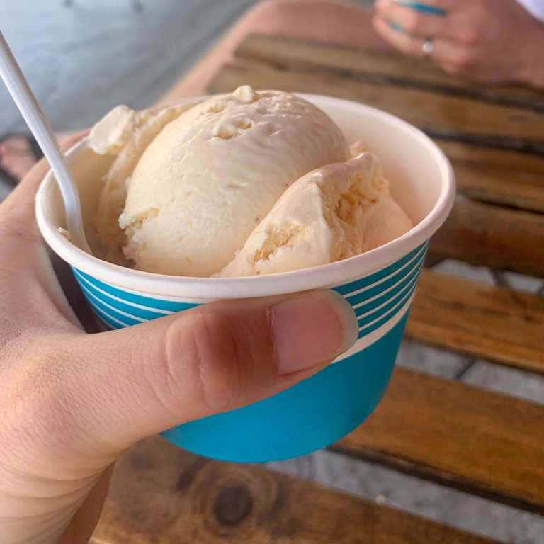
If you’re looking to revive with a brew and bite, head into the nearby towns of Zelienople and Harmony for a plethora of food options. For brewpubs, you can check out Union Brothers Brewing, ShuBrew, or The Harmony Inn (operated by North Country Brewing). If a treat or a coffee is more your speed, stop by Lagerhaus Bakery, Wunderbar Coffee and Crepes, or Neff Haus Ice Cream to satisfy your sweet tooth!
For more hiking adventures in Western PA, check out my guide to Waterfalls within an Hour of Pittsburgh and Best Hikes & Hops in Pittsburgh. For all of my adventures in Pennsylvania, head here!
Looking for more adventures in Pennsylvania and beyond? Check out my new book: Beer Hiking Pennsylvania and New Jersey