It’s a heat wave! But does that mean you should take a break from the great outdoors? Not necessarily! Read below for some tips to safely enjoy the trails during the dog days of summer.
I’m not a medical professional, so please be sure to do your own research and talk with your doctor if you have any concerns about recreating safely this summer.
This post contains affiliate links, meaning I get a commission if you decide to purchase something. I have only shared links for items I have personally tested and would recommend. All income I may receive goes back into hosting and running this site!
- It’s all in the Timing
The heat tends to peak between 12-4pm so try to time your hikes for early or late in the day. Just remember that bugs and especially mosquitoes tend to peak in the evening, so you’ll need plenty of bug spray. Anytime you’re hiking in the dark, make sure to have a flashlight or headlamp with extra batteries.
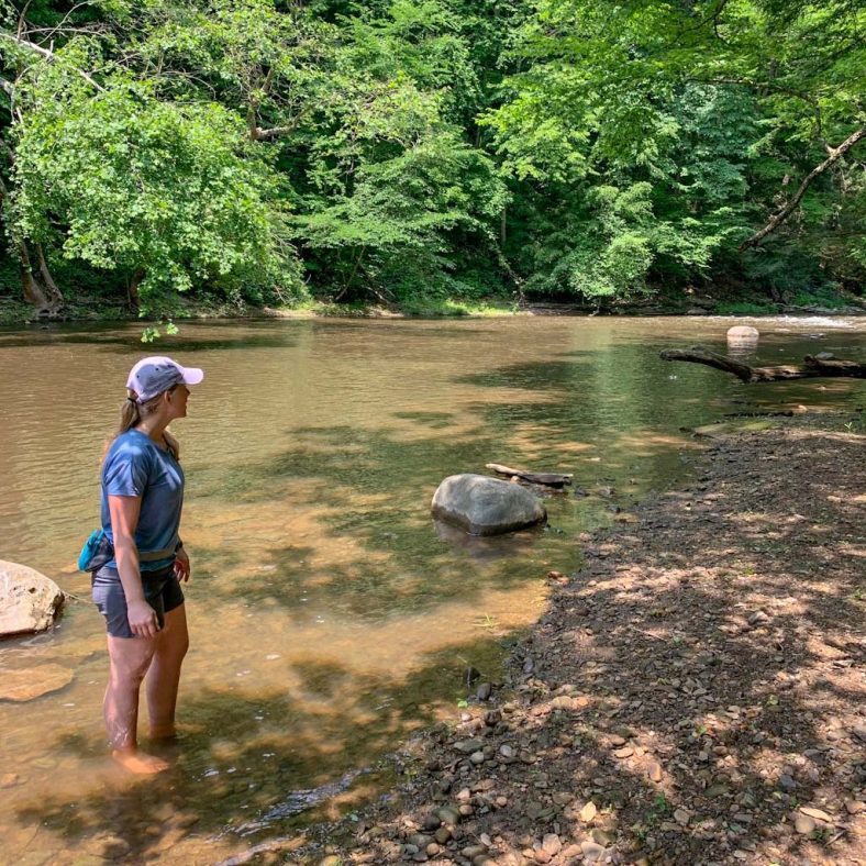
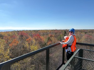
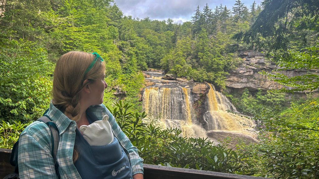
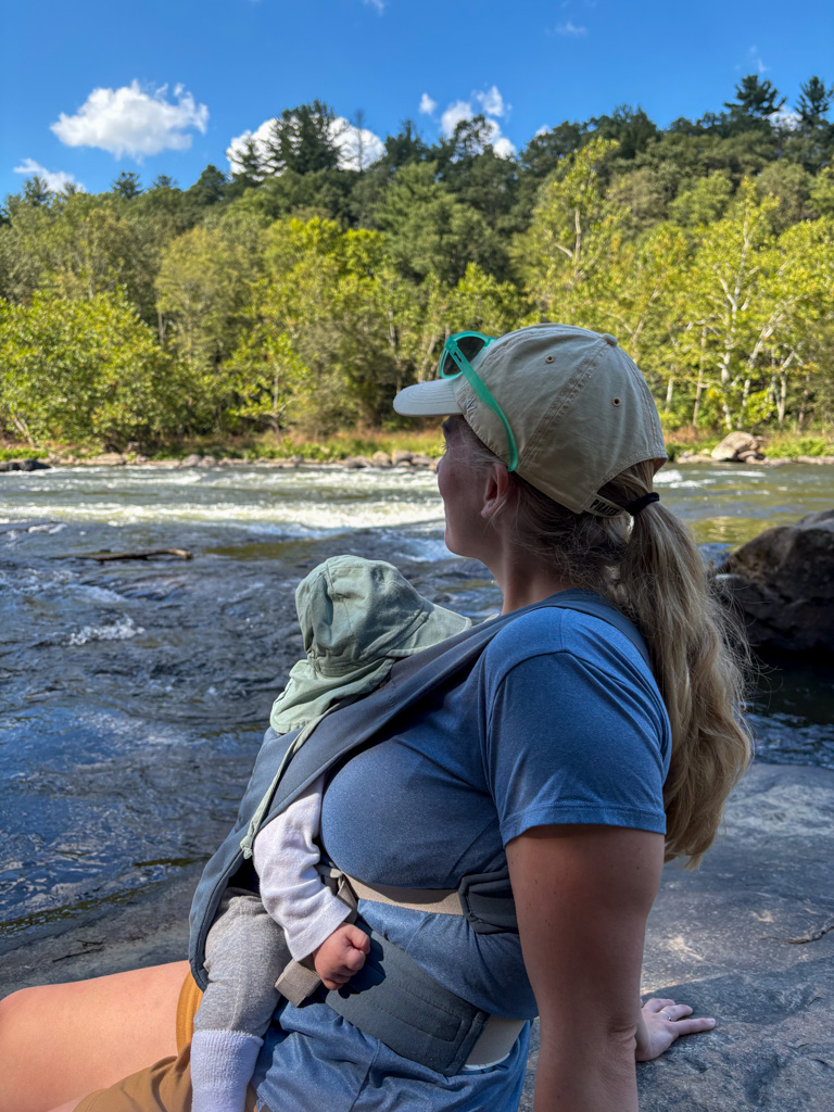
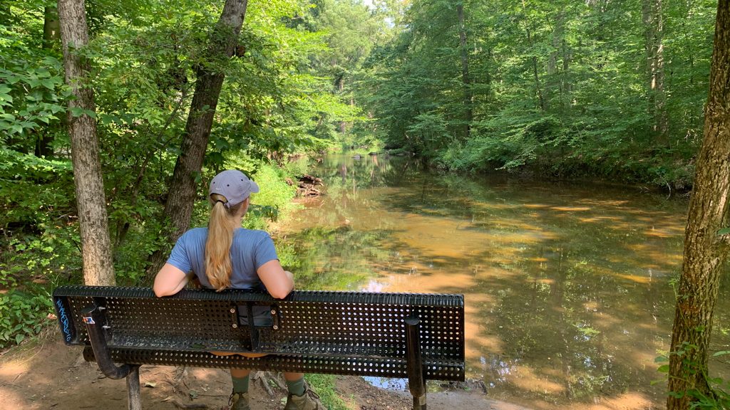
- Pick the Right Hike
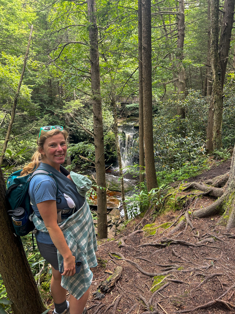
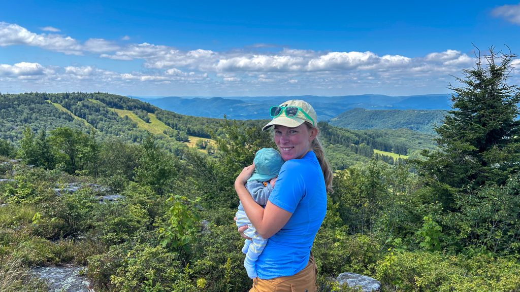
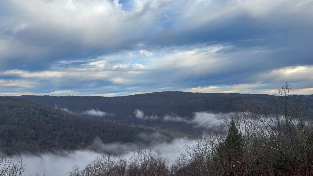
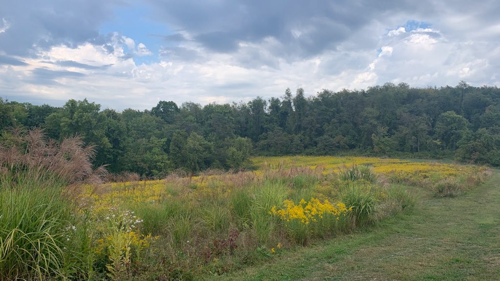
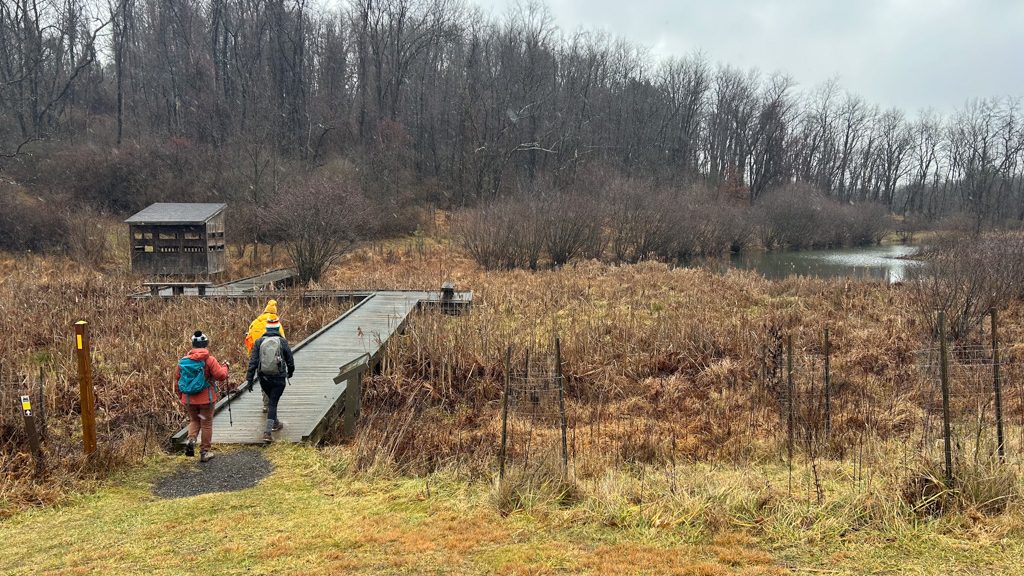
Pick a hike that has lots of shade. This is not the time for a grassy meadow hike! Bonus points if it’s near water and you can catch a cool breeze. If the heat index is really extreme, consider doing a shorter hike or one without much elevation. The best hikes are the ones that end with a spot to cool your feet off!
- Pack Plenty of Water
Water is probably one of the heaviest things in your pack, but it’s necessary in the heat of summer. Each liter of water is 1 kilogram (2.2 pounds). Consider putting it in a hydration bladder to make it easy to access. Also, leave a jug of water in your car so you have plenty for the ride home. Be sure to drink water throughout your hike, not just when you feel thirsty. If you notice that you’re sweating a lot, you might need to add some electrolytes to your water to refuel!
- Cover Up
It may seem counterintuitive, but it’s actually better to cover more of your skin to protect from UV. Invest in some sunshirts that protect from the sun’s rays and opt for fabrics that are moisture-wicking (like merino, nylon, or polyester). Cotton, while breathable, retains moisture, so it’s particularly bad for hot, humid days and excessive sweating. I like these Active Pursuit shirts by REI. Don’t forget to protect your eyes by wearing sunglasses! Also, a wide-brimmed hat does wonders to protect your head, neck, and ears.
- Wear Sunscreen

Always wear sunscreen even if it seems like a cloudy day. The sun’s UV rays are extremely strong! Pay special attention to sensitive skin on your face and neck. You’ll need to reapply every few hours if you’re sweating a lot or if the sunscreen gets rubbed off by your pack straps.
- Keep Snacking
Sometimes eating is the last thing you want to do when feeling hot, but it’s important to keep your energy up on the trail. Be aware of how much you are sweating and try to eat small snacks to replenish your energy stores. Be careful of having too many salty snacks, as they will make you even thirstier! I like an energy bar like Katie’s Real Food or Honey Stinger Waffles. Even a couple of bags of kids’ fruit snacks are a great energy boost!
- Know when to stop
Know when to listen to your body and stop. Whether it’s taking a break or turning around, it’s better to be safe than sorry. If you’re feeling fatigued or are halfway done with your water but not halfway done with the trail, don’t push through. Heat exhaustion can creep up very quickly, so listen to the signs of your body and know when to call it quits.
If you notice any of these symptoms, stop hiking and get help, as you could be experiencing heat stroke:
- Sudden stop in sweating
- Nausea or vomiting
- rapid breathing or heart rate
- slurred speech or trouble concentrating
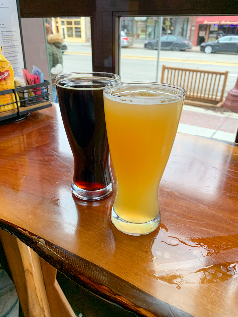
Looking for more adventures in Pennsylvania and beyond? Check out my new book: Beer Hiking Pennsylvania and New Jersey