Grove City, PA

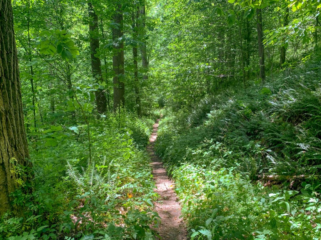
Wolf Creek Narrows was an unexpectedly lovely find! Combined with the trail at Miller woods Nature Preserve, this makes for a great afternoon hike. It’s also perfect for a summer day since most of the trail follows along cool streams. The trails meander through woods and fields and are particularly nice for seeing native plant species. Save the section along Wolf Creek for the very end to cool off! Afterwards, head over to Big Rail Brewing in Grove City for a refreshing brew in their rustic outdoor taproom. This is a great hike and hop for the whole family!
THE HIKE: Wolf Creek Narrows
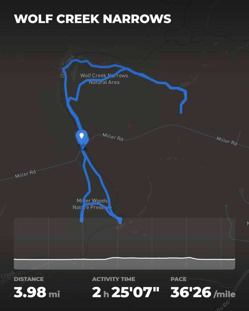
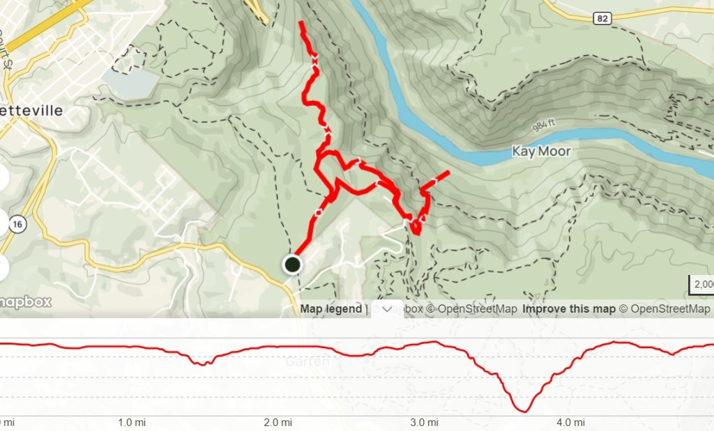
Length: 4 miles
Elevation Gain: 200 ft
Difficulty: Easy
Time: 2 hours
Trail use: Hiking, leashed pets
Parking: Small lot at trailhead, no facilities
H&H: 5/5
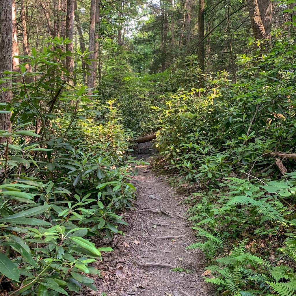
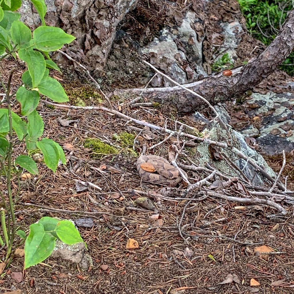
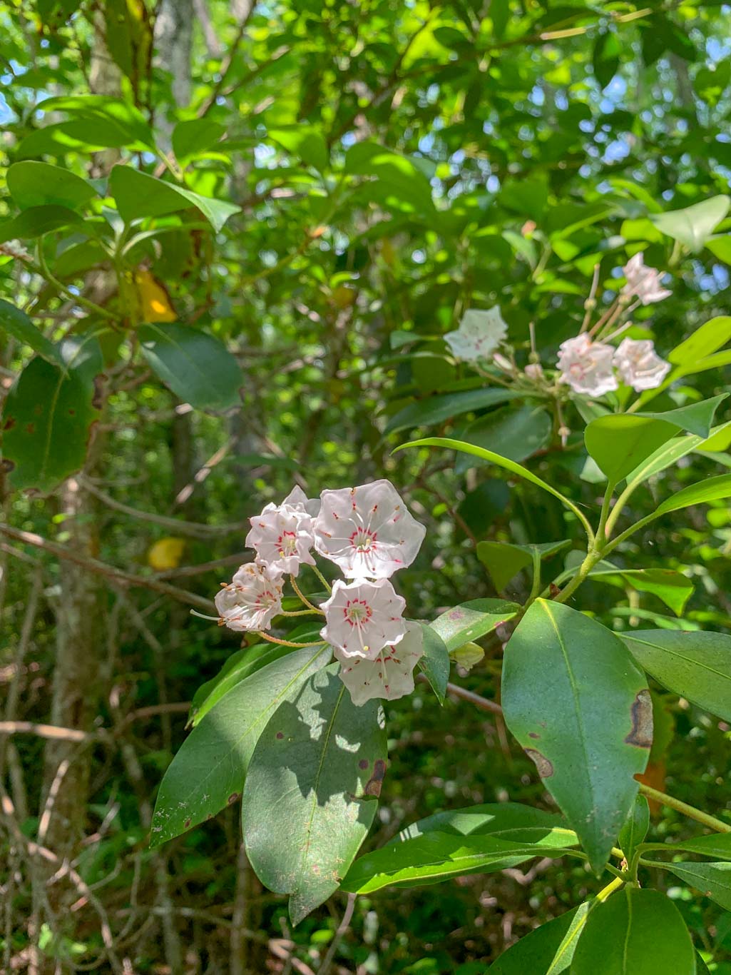
The first thing to know about this hike is that it combines two nature preserves and neither of them have great trail maps. Thankfully, they’re both pretty small and there’s little chance of getting lost. Miller Woods Nature Preserve is managed by Slippery Rock University. It is a certified Audubon Society Sanctuary and is often used as an outdoor classroom and lab by the University. In the spring, this is a fantastic area to see wildflowers and its low foot traffic also makes for a wonderful place to see wildlife, especially birds.
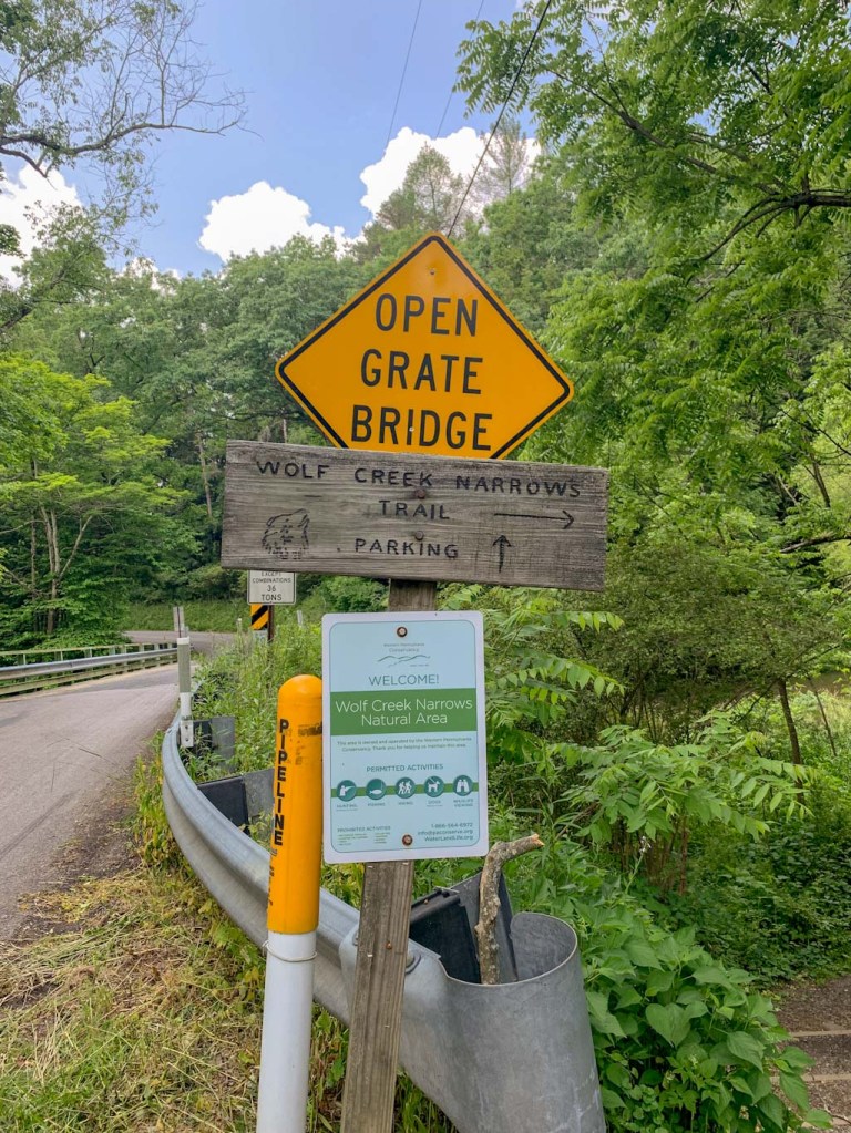
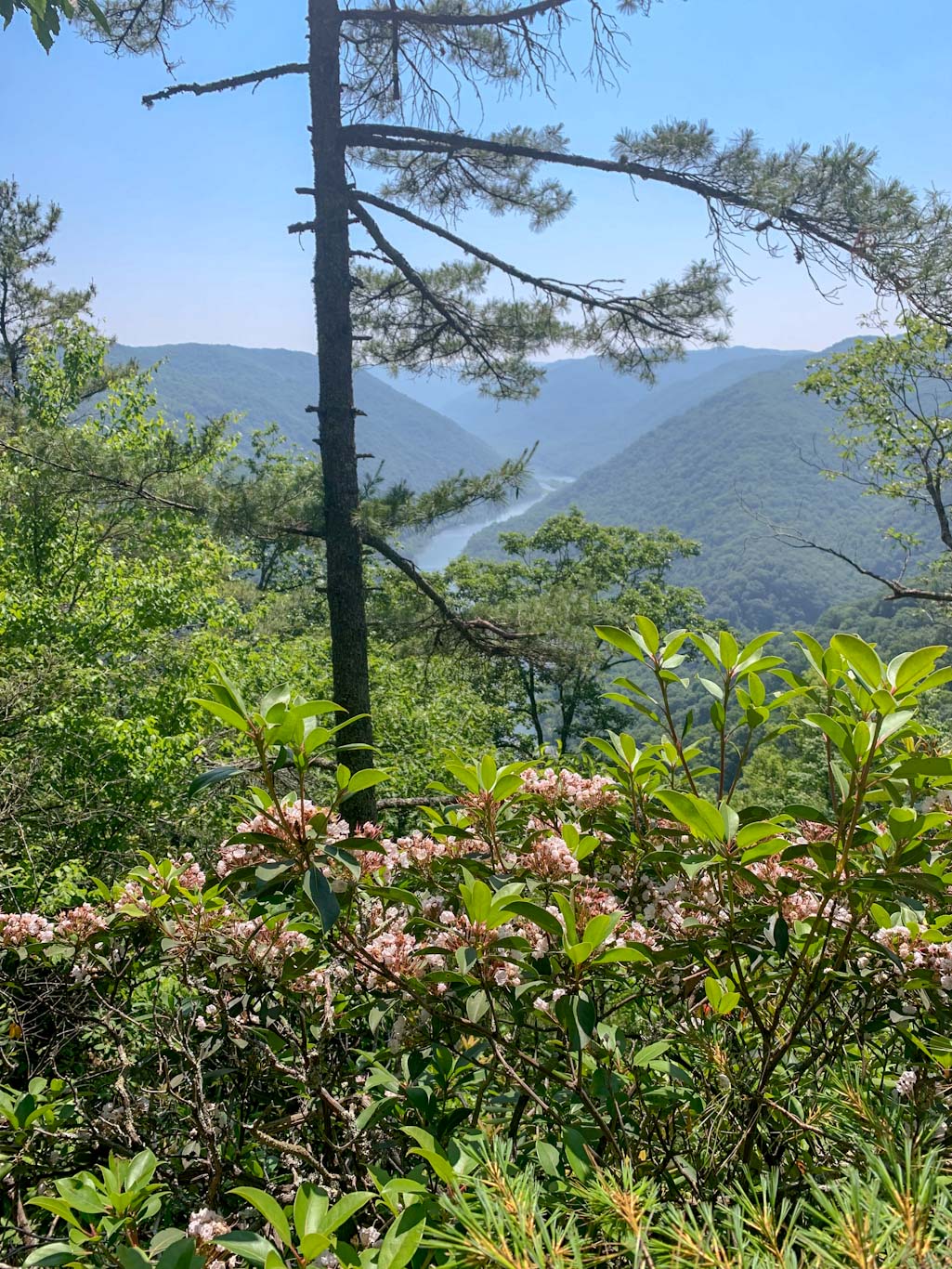
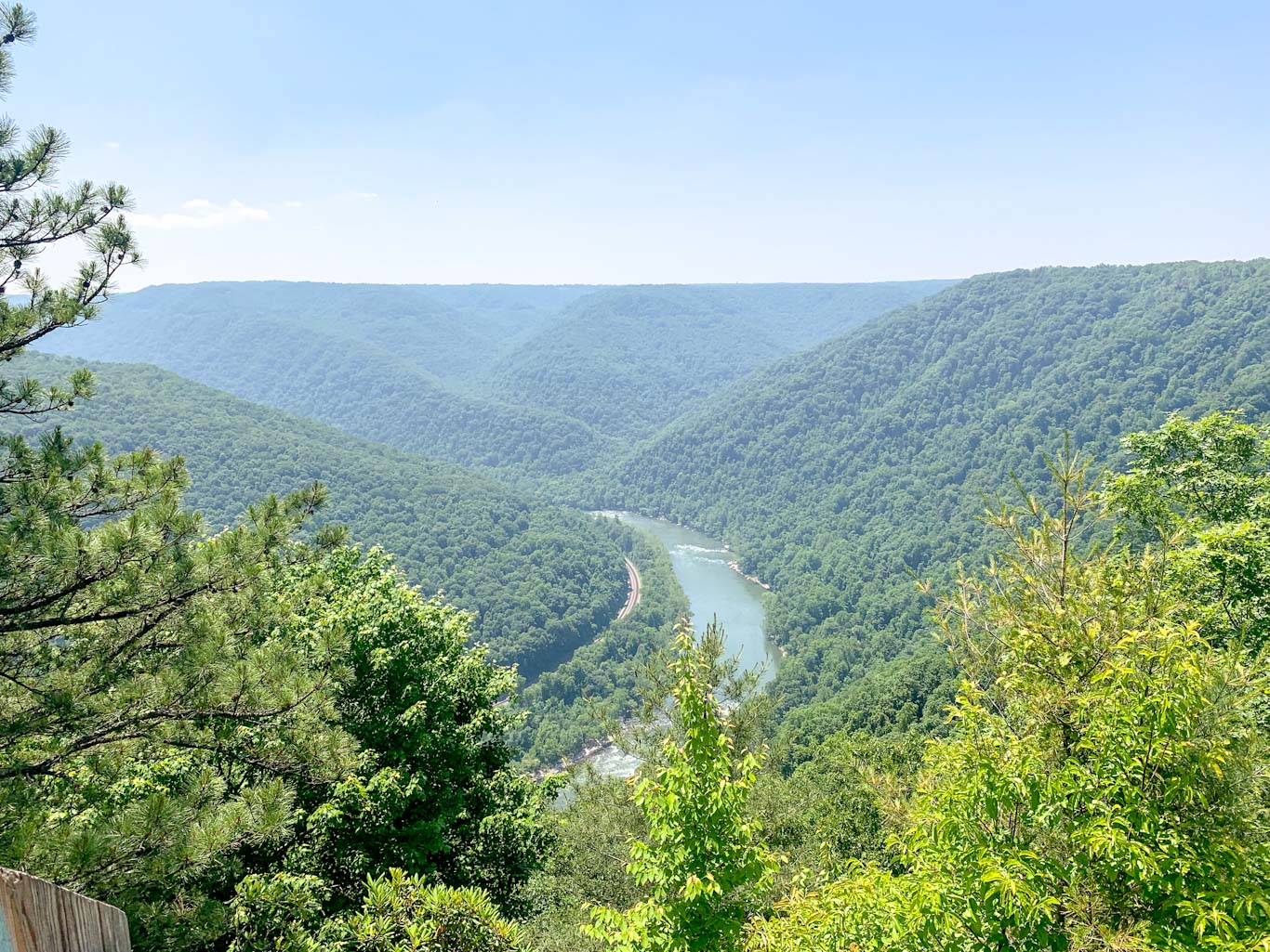
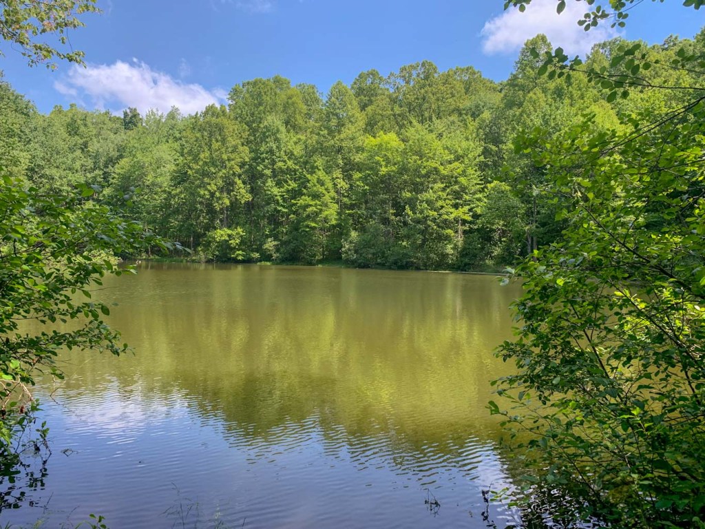
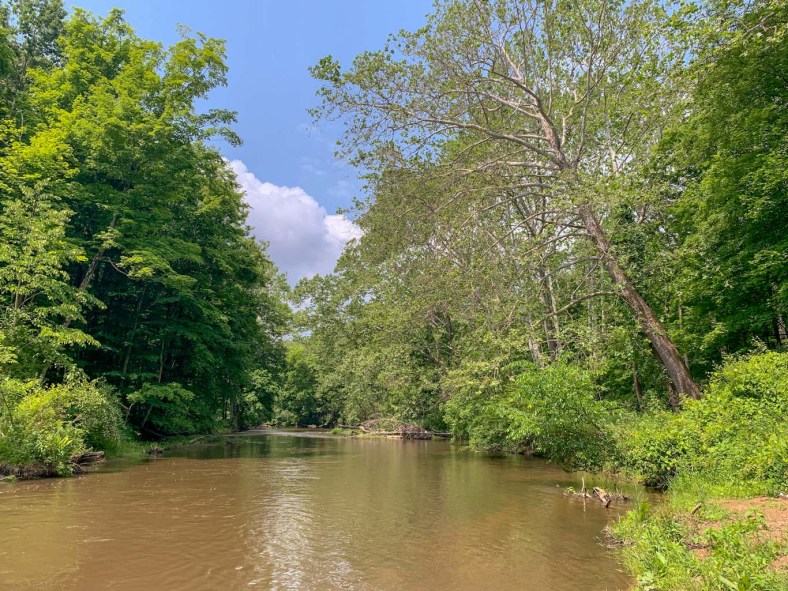
Wolf Creek Narrows is on the opposite side of the bridge from Miller Woods and is managed by the Western Pennsylvania Conservancy. It features mature hardwood forests, spring wildflowers, and is open for fishing along the creek. Although the WPC acknowledges this as one of their more popular locations, we still found plenty of solitude on a sunny summer day! When looking into this preserve, you may see that the maps only list one short loop. However, just recently an additional route has been added through the woods and then out into a field that almost doubles the amount of trail. Although the field section can be warm, it’s full of native wildflowers, which made for a lovely walk.
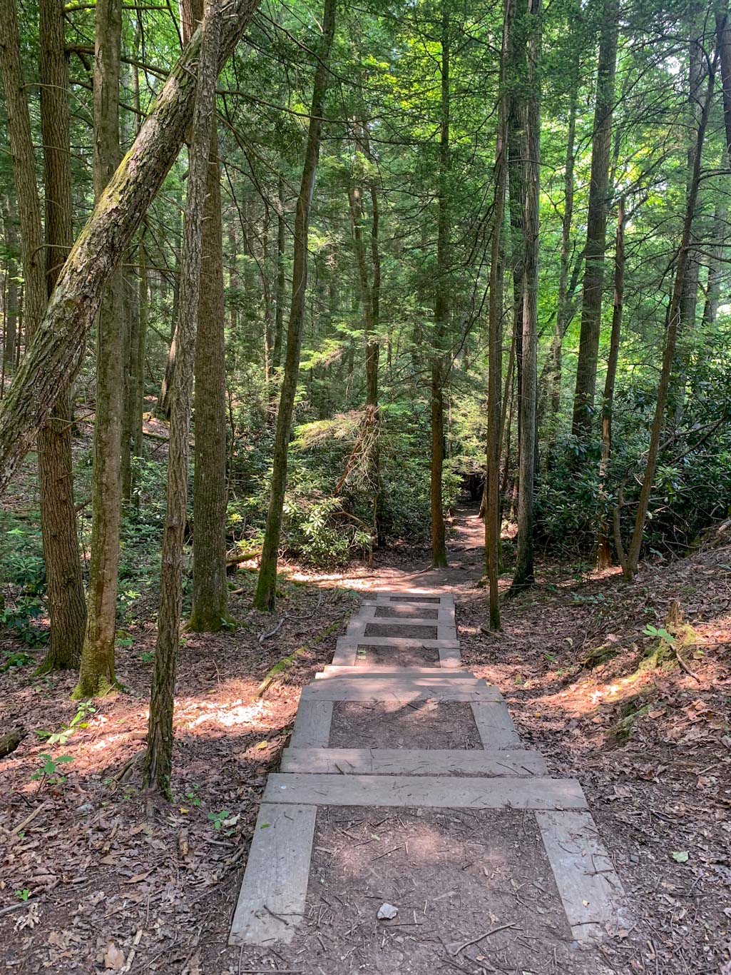
To access this hike, park at Miller Woods, off of Miller Road. The parking lot is fairly small, with room for about 8 cars. Be aware that there are no facilities at this trailhead! The trail begins in the back left hand corner of the parking area. Although most maps only slow one loop through these woods, we found that there were a lot of community foraged trails. We stuck to one along the creekside which led us through impressively large trees and a variety of plant life, including some beautiful swamp cabbage patches. At the furthest point of the trail, we found ourselves on a pebbled shore of the creek, which was perfect for skipping some stones. After heading back into the woods, we turned left at a fork and continued away from the creek, passing by some old ruins. From here, we made a bit of a mistake and followed a side trail along a shallow creek bed that eventually seemed like it was leading us off course. So we turned around and found the right trail which quickly linked back up to the path leading back to the parking lot. All together, subtracting our detour, the loop in Miller Woods is about 1 mile.


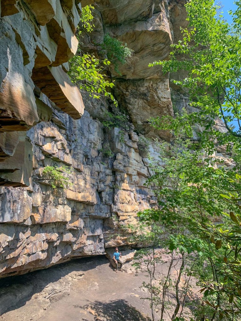
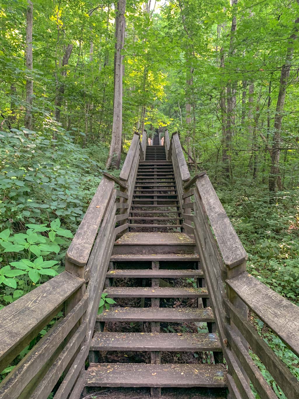
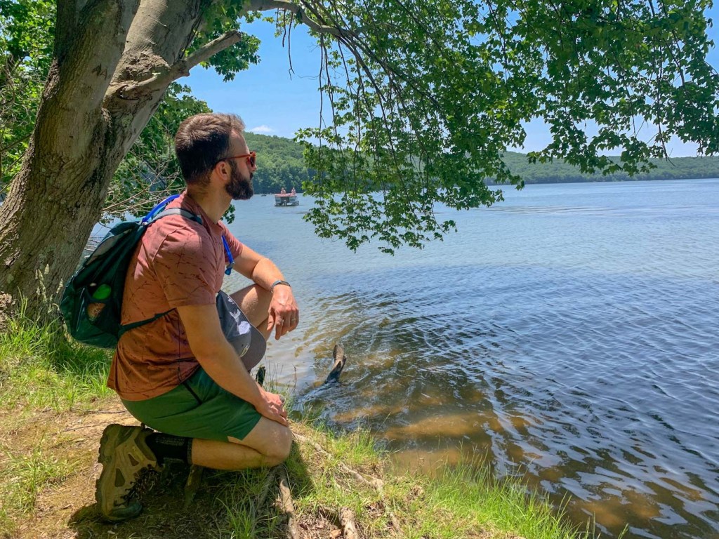
Now that you’re back at the parking lot, leave your car there and head towards the road. This isn’t a busy road, but use caution while walking along it. Make a right out of the parking lot and head across the bridge. On the left side of the bridge, you’ll see the signs for Wolf Creek Narrows. Now starts the second leg of your trek! Upon entering these woods, you’ll notice that the trees seem much older. My suggestion for this trail is to bear to the right at the first fork. There’s a short climb to higher ground and after a few minutes, you’ll see the new section of trail. This starts out in a thick hemlock patch and then opens up to a wildflower field which is also home to a bat house! Following this trail all the way to the road will lead to a new parking lot access for Wolf Creek Narrows. This is an alternative spot to park if Miller woods is full! Continue back along this trail to the woods and when you come to a fork, bear to the right to finish out the loop. After following the trail back down to the creek, be sure to spend some time down in the creek. The water is cool and refreshing and the nearby cliff sides carved out by the water are worth a look! After splashing around, follow the trail back up to the road and back to your car.
We were all pleasantly surprised by this trail and I would happily recommend it to anyone visiting the area. It’s not the longest nor most impressive trail I’ve been on recently, but it was the perfect nature trek to bring my parents on. We walked slowly and enjoyed every new plant we saw and made sure to skip stones and wade into the creek. And I would also highly recommend following it up with a trip to Big Rail Brewery.

THE BEER: Big Rail Brewery

Address: 2158 Mercer Butler Pike, Grove City, PA 16127
Distance from Trail Head: 6 miles, 10 mins
Website: https://bigrailbrewing.com/
Food?: Food Truck or BYOF
Details: Outdoor seating, dog friendly, Live music, playground
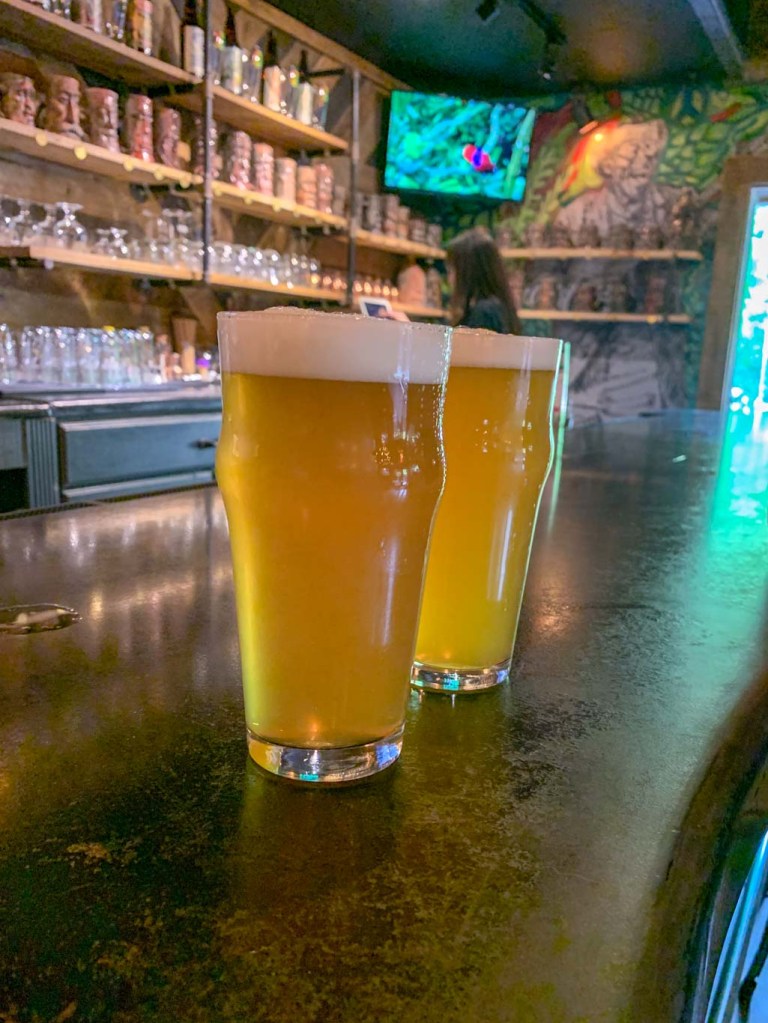
This brewery has been on my radar for ages after seeing it on a list from NextPittsburgh about road trip breweries from Pittsburgh. A hike and hop weekend with my family seemed like the perfect excuse to finally make a trip out here. Big Rail Brewing is the first place I’ve been to have a rustic beer garden as their primary location. Although they are building a large taproom and brewing facility onsite (opening date TBD), they’ve been serving their brews outdoors since 2019! But this isn’t just some picnic tables in the woods. Big Rail Brewing has probably the nicest outdoor set up I’ve ever seen at a brewery. Not only is there plenty of seating but there’s also covered pavilions, firepits, and picnic tables. It’s also incredibly family friendly, even featuring a sandpit area for the kiddos! Most weekends you can also find a food truck and live music. Honestly, I could have spent all day here! It’s everything you could want in an outdoor space. We all felt like we were having a beer in a friend’s backyard! I hope even when the taproom is up and running that they keep this incredible outdoor space.
Fun fact, Big Rail is a nickname for a specific heavy weight rail that was forged to handle the extremely heavy weights of the coal and iron ore carried out of Pennsylvania. The name is a nod to all of the blue-collar workers that hold up our society.
Our Beer:
- Treebeard – Brown Ale – 5.7%
- Wrought Iron – Red Ale – 6%
- Sunshower – Blonde Ale – 5.3%
- Johnny Chatters – Amber Ale – 5%
- Punchy Rig – NEIPA – 6%
- Union Bros Collaboration – IPA – 5%
- Old Blue – Cream Ale – 4.5%


Looking for more Hikes & Hops north of Pittsburgh? Check out Moraine & Union Brothers, McConnells Mill & Shubrew, and North Park & Cinderlands