White Oak Park & Wye Beer Co.

White Oak, PA

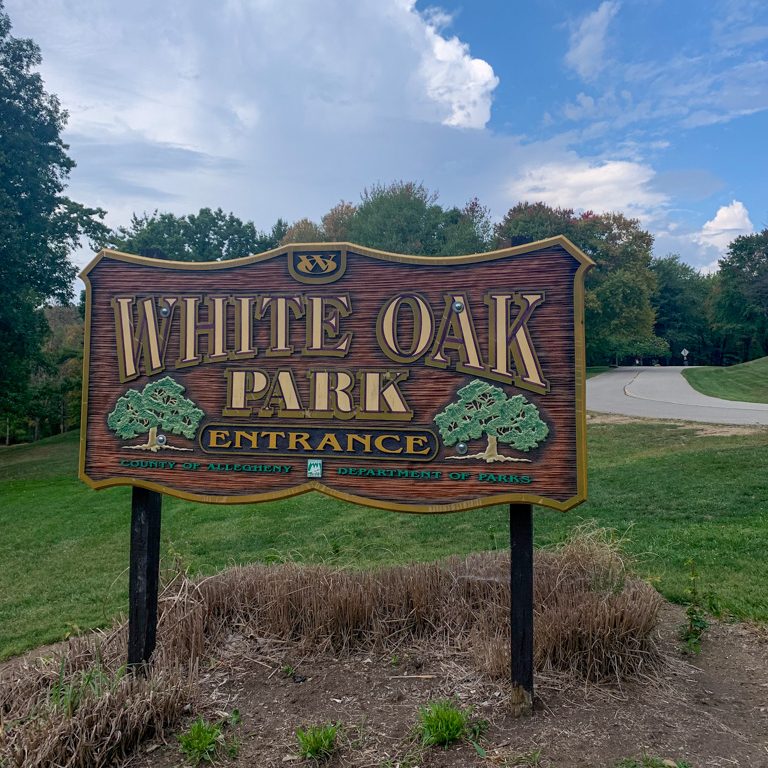
White Oak Park is one of the nine beautiful Allegheny County parks. This 810-acre is a haven for hikers, bikers, and nature-lovers alike! It has over 8 miles of trail including densely wooded sections with low foot traffic. It’s a great spot for spring wildflowers and has space for a variety of activities, including bocce, a dog park, and athletic fields. After a peaceful loop through the trails, enjoy a brew and a bite at Wye Beer Co. in Trafford, PA. Located right on the Westmoreland Heritage Trail, this brewery is about as outdoors-friendly as you can get!

THE HIKE: White Oak Park Loop
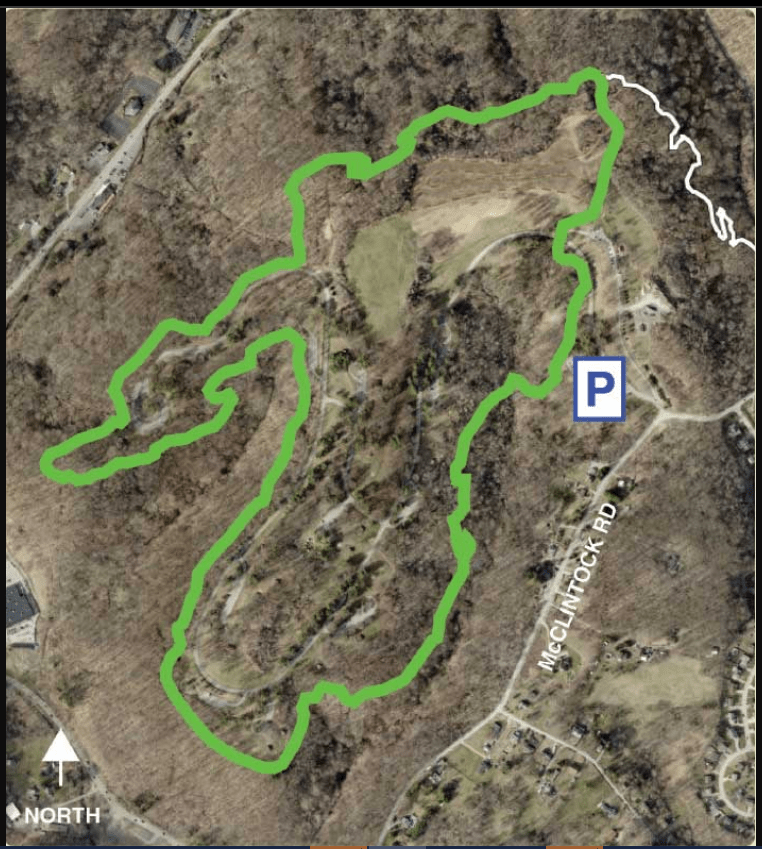
Length: 3.2 miles
Elevation Gain: 321 ft
Difficulty: Easy
Time: 1.5 hours
Trail use: Leashed dogs, Bike friendly
Parking: large lot at entrance off McClintock Road

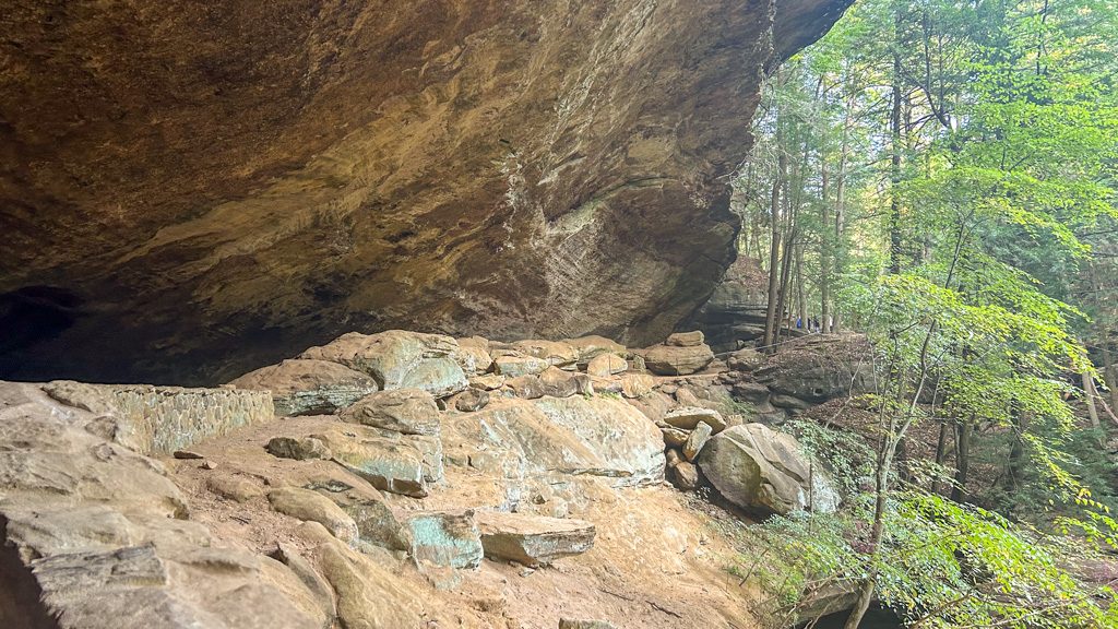
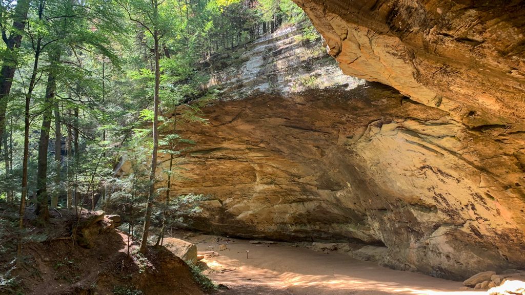
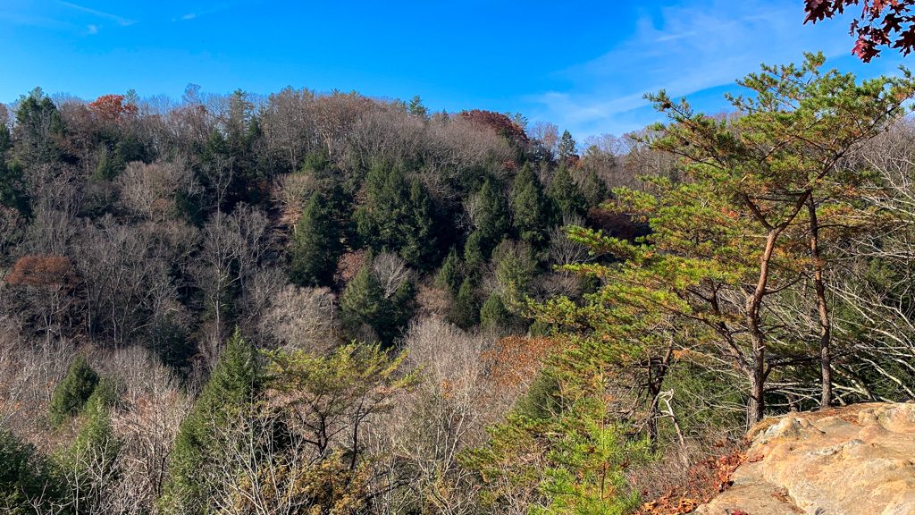
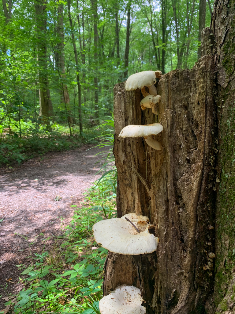
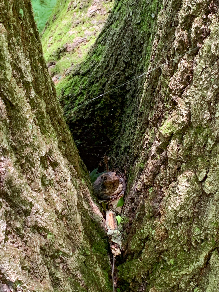
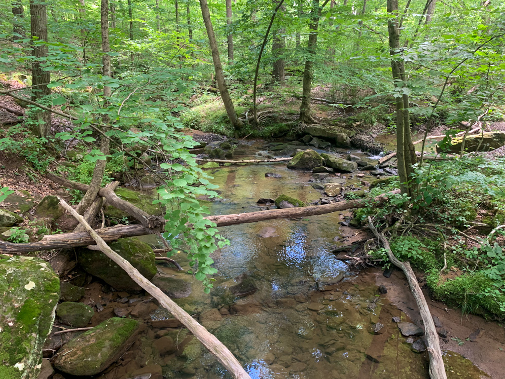
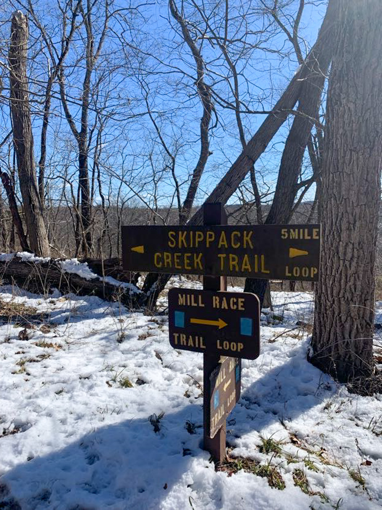
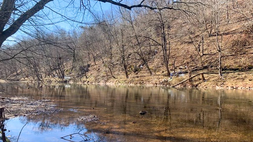
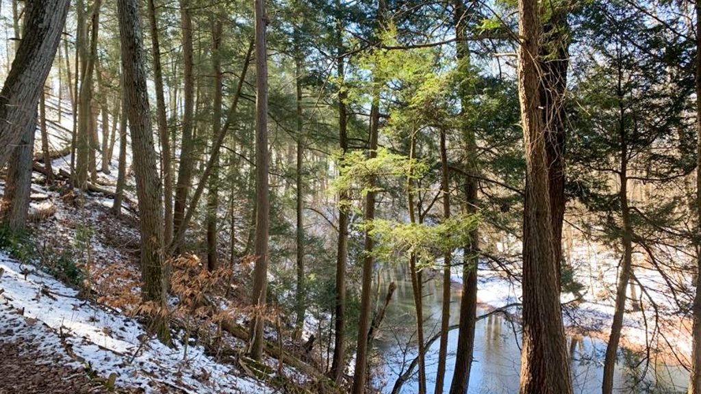
White Oak is a regional park managed by Allegheny County that spans over 800 acres. Here you’ll find plenty of space for recreation, including ball fields, pavilions, a dog park and more. There are many miles of trail included a paved walking path. But where White Oak truly shines is in its deeply wooded hiking trails. These trails, although not terribly well marked at times, wind through huge groves of trees that feel like one is miles away from civilization. Until the trail pops out by a pavilion or bathroom!

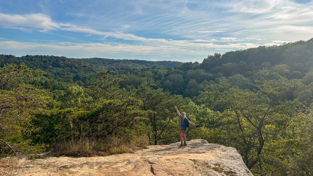
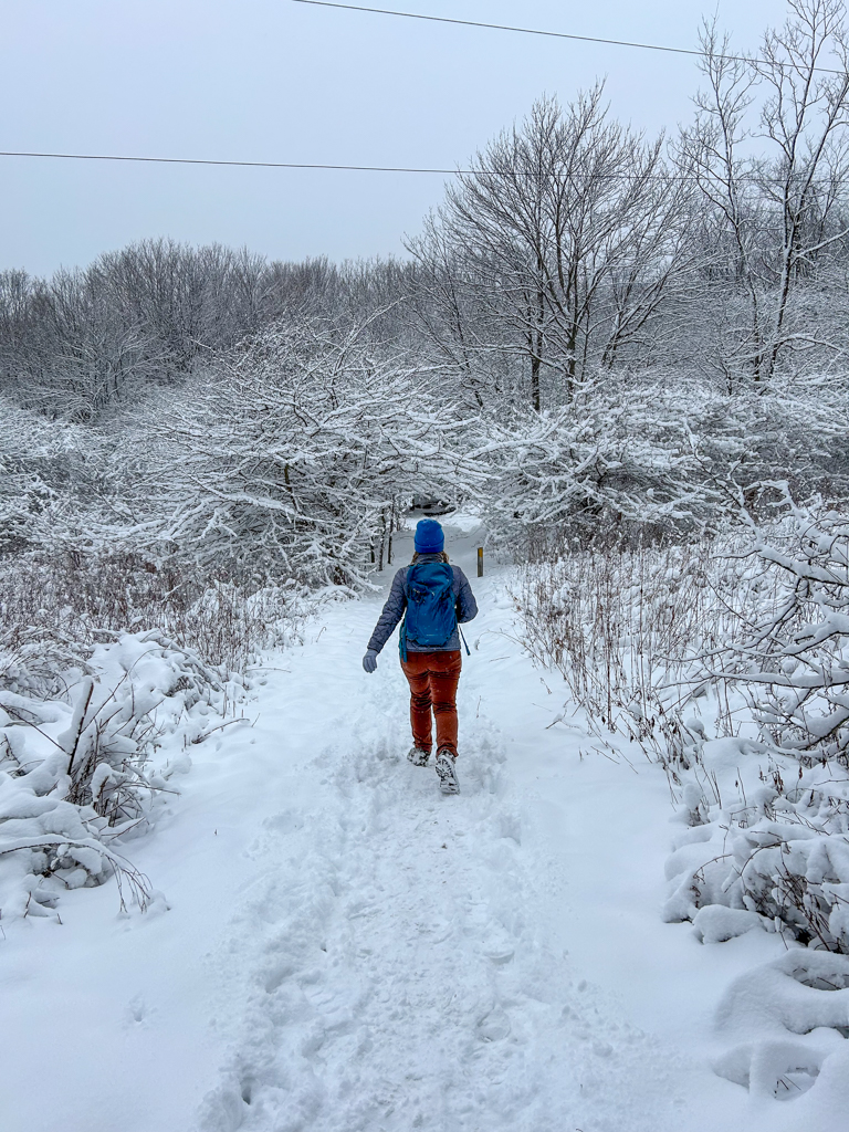
White Oak Park is a bit of a drive from most areas of town, but I highly recommend a visit. J and I were pleasantly surprised to have the trails to ourselves on a sunny fall day and really enjoyed an easy loop through the western portion of the park on the Green Trail.

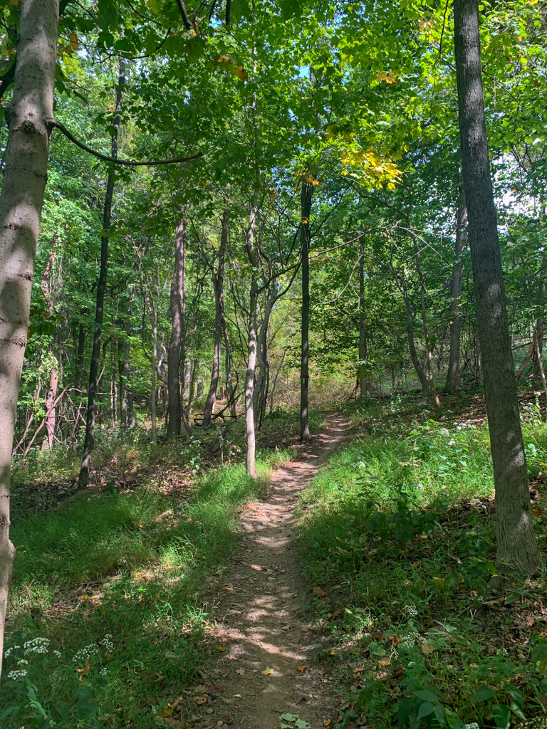
Begin your hike at the parking lot for the Wedding Pavilion. It’s not quite marked well on Google Maps so you can use the link above! Pick up the Green Trail behind the small pavilion and down the hill. You’ll see the green blazes begin right at the tree line. Immediately, you’ll be surrounded by towering trees and any road sounds fade away. Follow the trail for about 0.5 miles, then it will lead close to a pavilion and bathroom. The rest of the hike meanders through thick trees and then veers close the walking path and pavilions. I’d definitely recommend following a route on an app as sometimes the trail junctions aren’t marked or very clear. At the very end, the trail goes sharply uphill where the path is a bit uncertain. You should come out near the dog park. We then followed the road back to the Wedding Pavilion to finish out the hike.

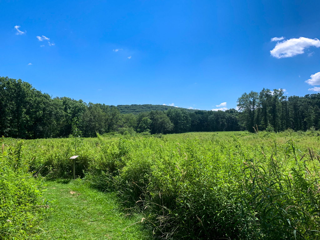
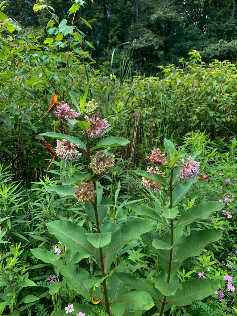
If you have time, I also highly recommend visiting the meadow area behind the park office. We just happened to visit during peak goldenrod season and it was just so beautiful to see the bees buzzing around the golden spires. There are a number of other trails you can pick up from this area including the Yellow Trail, a 1.5 mile loop.

Overall, although the trails are not well marked and online maps difficult to come by, I highly recommend a visit to White Oak Park. It’s the perfect place to explore and feels off the beaten path. We will definitely be back!

THE BEER: Wye Beer Co.

Address: 3 Forbes Rd, Trafford, PA 15085
Distance from Trail Head: 6.7 miles, 14 mins 
Website: http://www.wyebeer.com/
Food?: Full Kitchen
Details: Outdoor seating, family friendly, Pet friendly

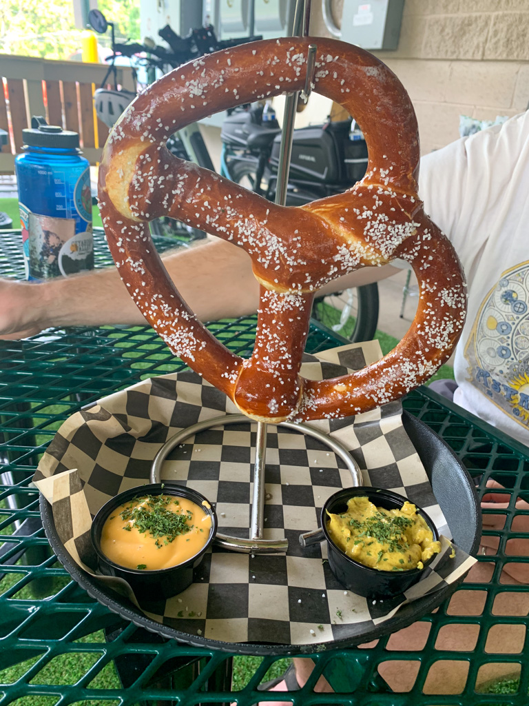
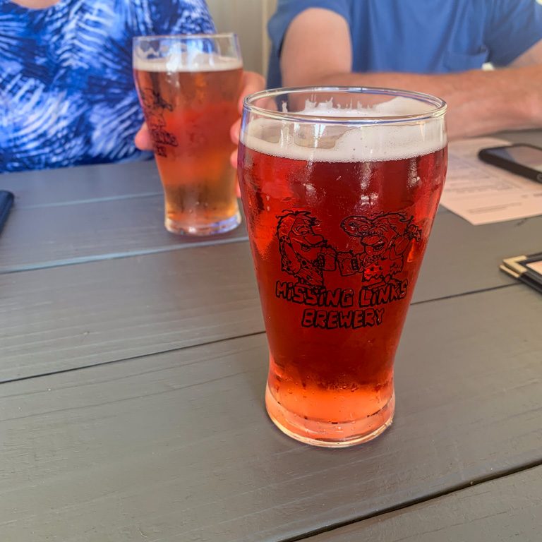
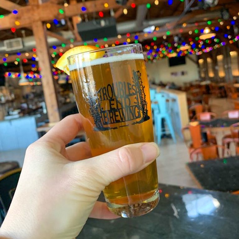
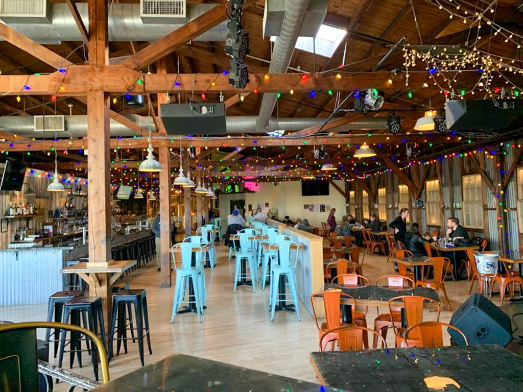
Tucked into a small business plaza in Trafford is Wye Beer Co. As you pull into the parking lot, you’re likely to see a few bikes pulling up to the brewery as well! Wye Beer is conveniently located right on the Westmoreland Heritage Trail, so it’s become a popular spot for bikers and beer lovers alike. Walking inside, the brewery is quite spacious, with a large bar and plenty of tables. Arcade games line the walls adding to the space’s fun flair. After ordering a pint, you can also sit outside in the beer garden, complete with a ski lift swing (yes, this was my spot of choice!). If you’re feeling a bit peckish, the menu of shareables and flatbreads is sure to hit the spot. We particularly enjoyed the giant Bavarian pretzel! Now Wye doesn’t limit itself to particular styles, so there’s always a wide variety of options on tap. It’s really important to the owners that they have a beer style for everyone!

Wye Beer is still relatively new to the brew scene having opened in early 2024 by three brothers from Irwin. But they’re no strangers to the restaurant and bar life; the family has owned several other ventures, including the popular Ginny’s Pizza. The brewery’s name pays homage to Blackburn-Wye rail line that used to run through the area. A “wye” is a railroad term for a track junction that forms the letter “Y”. I love when we get a history lesson at a brewery!

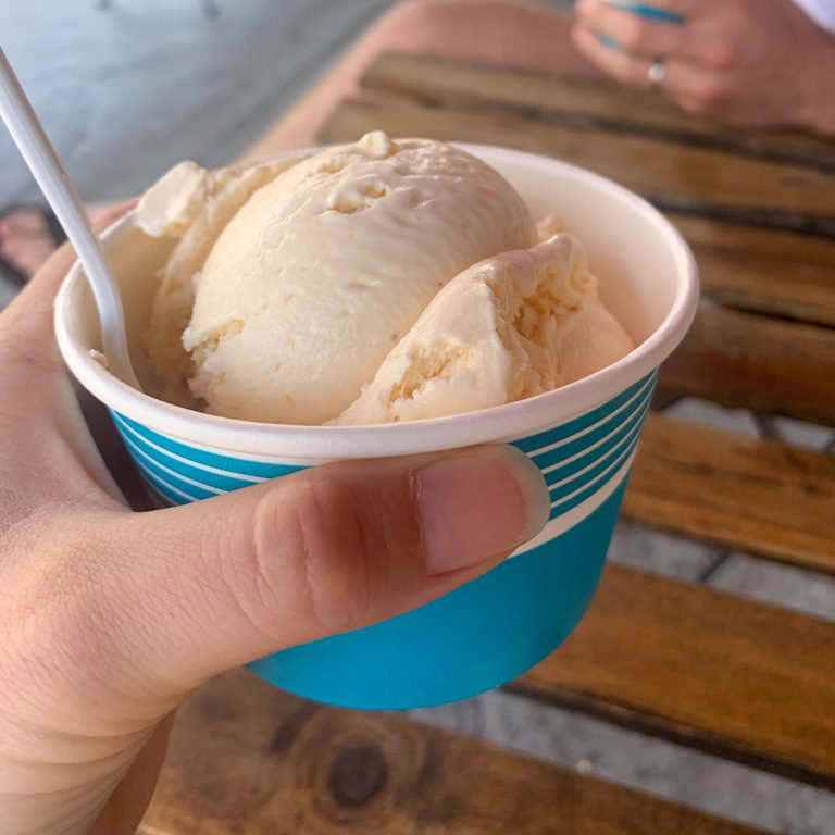
Also, I highly recommend a stop at the Parkside creamery for a tasty treat to wrap up your day! The pumpkin pie ice cream really hit the spot!

Our Beer:

  • Downtown Mindy Brown – American Brown Ale – 5.7%
  • Pumpky Brewster – Pumpkin Beer – 6.8%
  • On Point – Pale Ale – 5.6% (Collab with Yough River Brewing)

Looking for other Hikes & Hops in this area? Check out Dead Man’s Hollow & Fire Whistle Brewing or Duff Park & Devout Brewing.

Check out other Allegheny County Parks! Settler’s Cabin, North Park, and South Park

Guide to Hocking Hills State Park

Hocking Hills is a beautiful state-run park and forest in Ohio, just south of Columbus. The stunning region is known for its waterfalls, caves, and cliffs. There are so many incredible places to explore that it can be hard to know where to start! Use this guide to plan your ultimate visit to Hocking Hills and beyond.

Know Before You Go

  • No Entry Fee
  • Open Year-Round – but be sure to check conditions before heading out, especially in the winter
  • Navigation – Some areas in and around the park have poor service so download maps beforehand
  • Getting around – The area is split up into small individual parks so driving between trailheads is a must
  • Pet-Friendly – leashed pets are welcome on all trails except the State Nature Preserves (Conkles Hollow and Rockbridge)
  • Accessibility – Both Ash Cave and Conkles Hollow have wheelchair-accessible trails

How to Get to Hocking Hills

Hocking Hills is located about an hour south of Columbus. Take US 33 East to Logan, then follow OH-664 to the state park. The park is only three hours from Cleveland and 2.5 hours away from Cincinnati. It’s a great weekend trip from Pittsburgh at only 3.5 hours away.

Where to Stay

There are tons of places to stay near Hocking Hills from primitive camping to high-end lodges and everything in between! We’ve stayed in a variety of places including campsites and Airbnb cabins. There are many options, but its best to book as early as possible as places fill up, especially in peak season!

Airbnb/VRBO: We loved this pondside cabin for a visit with our parents. It was the perfect size for 4 people and we really enjoyed drinking our morning coffee on the front porch. I also stayed at this cabin for a girl’s trip and it was a fantastic stay with a hot tub and firepit!

Hipcamp: If you’re looking for camping outside of traditional campsite, try Hipcamp! We stayed at a lovely secluded campsite on private property and it was one of the best camping experiences I’ve ever had.

State Park Lodge: Hocking Hills State Park has a beautiful, newly renovated lodge, as well as cabins onsite. The facilities are open year-round, and although we’ve not had the pleasure of staying, we’ve only heard wonderful things about the upscale facility.

Camping: There’s no shortage of campgrounds in the area for those who prefer sleeping in the great outdoors!

Best Time to Visit Hocking Hills

  • Summer: This is definitely peak season so expect to share the trails with many families and visitors. The upside is that the longer days mean more time on the trails! A drier summer will also lead to less water flowing.
  • Fall: The park is magical during peak fall foliage. Expect crowds but also an escape from the heat of the summer and the bugs that frequent the streams and rivers.
  • Winter: Winter is the slowest time at the park so it’s the best time for avoiding crowds. Be aware that trails can get icy and that some campgrounds might not be in full service.
  • Spring: This is the best time for waterfalls as the spring showers lead to roaring waters throughout the park. Expect crowds to pick up in mid to late Spring.

Best spots to visit in Hocking Hills

Old Man’s Cave

Old Man’s Cave is probably the most famous spot in the state park but funnily enough, it’s not a true cave! It’s actually considered a rock shelter which erosion carved out of the cliffside. A one-mile loop from the Visitor Center loops past Upper Falls, Devil’s Bathtub, then down through the gorge before heading up through Old Man’s Cave. It’s a moderate hike that is short but will take between 45-60 mins. There are opportunities to length the trek and see more of the parking including Lower Falls (1.5 miles), Whispering Cave (3 miles), and Cedar Falls (6 miles).

Ash Cave

Access Ash Cave from a short 1/4 mile hike from the ample parking lot. The Ash Gorge Trail is handicap-accessible and leads right into the rock shelter. From there, you can take the stairs up through the overhang to the Ash Rim trail for another 1/4 mile back to the parking lot. Extend your hike to Cedar Falls for a roughly 5-mile round trip.

Cedar Falls

Cedar Falls is a 1/2-mile one-way trail that leads to a seasonal waterfall. The steep trail travels down a staircase to a beautiful waterfall that flows mostly in the spring, summer, and winter. You can connect to a longer loop to Whispering Cave (3 miles) or Old Man’s Cave (6 miles).

Cantwell Cliffs

Cantwell Cliffs might only be one mile but don’t let that deceive you! This hike is full of steep steps, narrow rock squeezes, and soaring cliffsides. Because of the narrow paths, the trail is one-way only! This is also one of the more remote areas in Hocking Hills so you likely won’t be sharing the trail with too many.

Rock House

Rock House is another unique area of Hocking Hills, well known for being a recess cave. This 0.8 miles, one-way loops descends down aside steep steps to a beautiful cave system. Although the large openings keep it from getting too dark, be prepared for careful footing and lots of roosting birds!

Conkles Hollow Preserve

Conkles Hollow is technically not part of Hocking Hills State Park. It’s a separate nature preserve with two trails. The Gorge Trail is an accessible path that leads to a small waterfall at the end. You can also do the 2.5-mile rim trail which is more challenging, but worth it for the stunning views across the woods and for the unique cliffs. In the spring, the area is flush with wildflowers.

Airplane Rock & Chapel Cave

These two features are just outside of the state park in Hocking Hills State Forest. To see both of them, you’ll follow along the orange-blazed horse trail from a parking lot just down the road from Conkle’s Hollow. The trail might not be the most interesting, but the views are totally worth it!

Rockbridge Nature Preserve

Like Conkles Hollow, Rockbridge is a separate Nature Preserve, meaning that no pets are allowed. The main feature is a 100-foot natural bridge. There are about 3 miles of trail at this park and is located roughly 15 miles from the main Hocking Hills visitor center. This is the only section of Hocking Hills that I haven’t visited yet!

Other things to do:

Looking for Hikes & Hops in Hocking Hills? Check out Hocking Hills Gorge Loop & Brewery 33 or Conkle’s Hollow & Double Edge Brewing Co.

Jennings Environmental Center & Missing Links Brewery

Butler County, PA

A family Hikes & Hops outing is quickly being a favorite tradition! Over the summer, we visited Jennings Environmental Center in Butler County with my parents. Sharing a border with Moraine State Park, this quaint center is often overlooked by its more showy neighbors. But this nature center is worth a visit in its own right! The park boasts miles of trails through both wooded and prairie ecosystems and is entirely dedicated to nature education. The park also protects the endangered massasuaga rattlesnake One mile of the North County Trail also passes through the park. This is a fantastic park for all hiking abilities!

THE HIKE: Jennings Environmental Center

Length: 5 miles (connect to NCT for more)
Elevation Gain: 300 ft
Difficulty: Easy
Time: 2 hours
Trail use: Hiking, Leashed pets
Parking: Ample parking at Center

This park is one of four environmental education centers managed by the Pennsylvania State Parks system. It’s slightly different from other state parks because its primary purpose is to educate the community about the local environment. The park also offers 5 miles of hiking trails and connects to the North Country Scenic Trail, as well as cross country skiing in the winter. Be aware that certain areas are open to hunting during the season.

Access and Parking: Jennings Environmental Center is free to visit! Park near the office and classrooms, use coordinates 41.00869377322245, -80.00326119251952

The Route: This route follows several of the main trails at Jennings to make a nice 5 miles figure 8 of the park. It starts at the park office where there are bathroom and educational displays. Begin the trek on the Whispering Woods Trail and head towards the wetland area. After a quick jaunt through the woods, you’ll encounter a large gazebo with interpretive signs about wetlands and the mining past of the region. from here, weave through some of the unmarked trails through the waterways where you may spot turtles hiding in the water and butterflies fluttering to the flowers. After exploring, return to the gazebo and take the North Country Trail (blue and yellow blazes) into the woods. Follow the trail until it reaches a trail junction. Now, you can take the Black Cherry Trail as it leaves the NCT and heads up the hill. This is the steepest part of your journey! This trail passes through peaceful woods and large glacial boulders. About a mile into your journey, pass another trail junction where you will get on the Ridge Trail. Be aware that this trail passes into hunting lands, which are clearly noted with signs along the way. The Ridge Trail then meets back up with the North Country Trail as it heads back towards the Park Office. You’ll cross a small bridge which crosses over a peaceful waterway. Now on the Old Elm Trail you’ll loop back to the park office. You’ve just finished your first loop!

Now, if you’re still looking for more, you’ll carefully cross over PA 528 to the other half of the park. There’s additional parking and bathrooms on this side. There are many intersecting trails that can make small or large loops, depending on how much you want to tackle. We took the Maassuaga Trail and connected that to the larger Oakwoods Trail. This route passes through some lowlands where the ground can get quite muddy. Some of the trails were closed due to beaver activity leading to washed out trails. After a nice meander through the park, we ended our journey by walking through the park’s most unique feature: a prairie ecosystem. The Prairie Loop skirts around a wide open meadow with tall native grasses and flowers. The trails are wide, mown paths, and it is vital to the health of the ecosystem that you remain only on these paths. This area is also home to the reclusive, yet venomous massuaga rattlesnake so it’s best to keep an eye out for this slithering friend. If hiking in the late summer, you will be treated to sights of the amazing Blazing Star praire flower with its distinctive purple spire. After taking the Prairie Loop, follow the Blazing Star Trail back towards the road and cross over to the parking lot to complete your journey.

THE BEER: Missing Links Brewery

Address: 891 Evans City Rd #9209, Renfrew, PA 16053
Distance from Trail Head: 13 miles, 20 mins 
Website: http://www.missinglinksbrewery.com
Food?: Full Menu
Details: Outdoor seating, dog friendly outside

Missing Links Brewery is located in Evans City right next to the Butler Farm Market. They offer a full line-up of house made beer as well as a complete kitchen menu of tasty grub. There’s a large outdoor porch for pup-friendly dining and the entire space is family-friendly. With a comical logo of the owners as caveman, Missing Links like to riff on this with their beer names, like Bedrock IPA, Dinoweizen Wheat Beer, and Bigfoot ESB. With a kitchen menu of pub classic like pizza and sandwiches, this place is sure to be your missing link between a hike and a delicious brew!

Our Beer:

  • Oatmeal Stout – stout – 5.8%
  • Razzmatazz IPA – Raspberry hazy IPA – 5.1%
  • Tropical Mist IPA – NEIPA – 6.4%
  • Paradise Ale – Wheat Beer – 4.9%
  • Strawberry Rhubarb Sour – Sour – 4.7%
  • Blood Orange – Fruit Beer – 5.1%

Looking for more Hikes & Hops in Butler County? Check out Moraine SP & Union Brothers Brewing, McConnells Mill & ShuBrew, or Wolf Creek Narrows & Big Rail Brewing.

Skippack Creek Loop & Trouble’s End Brewing

Collegeville, PA

Evansburg State Park is a small state park along the Skippack Creek in Southeastern PA. The full Skippack Creek Loop Trail takes you around the whole park, along the creek’s edge and up along a ridge. Although it was pretty muddy when we visited, this seems like it would be a great place to visit in the drier summer months!

THE HIKE: Skippack Creek Trail

Length: 5 miles
Elevation Gain: 262 ft
Difficulty: Moderate
Time: 2 hours
Trail use: Hiking, Mountain biking, Horseback riding,
Parking: Small lot at trailhead

Find the Parking Lot: Park at Pavilion A off Mayhill Road. Use 40.1980458, -75.4042884 to find the trailhead

Evansburg State Park encompasses 3,300 acres of green space in Montgomery County, PA. Its main feature is the Skippack Creek, making it a popular spot for fishing. There are 26 miles of trails for hikers, some of which are also open for mountain biking and horseback riding. In the winter, you can still get out on the trails for cross-country skiing. 

History 

This area was once the land of the Delaware or Lenni Lenape people. Their society spanned most of modern day New Jersey into the PA Lehigh Valley and up to the New York Catskills. Sadly, their matrilineal clans were greatly impacted by European diseases by the time William Penn made his 1684 “purchase” of the American province that would become Pennsylvania. Although WIlliam Penn, a Quaker who founding PA for religious freedom, approached the Lenni Lenape people with peace treaties and payment for their land, his descendents were not so peaceful. In the early 1700s many Lenni Lenape were forcibly removed from their lands in eastern Pennsylvania. 

As the population of Philadelphia exploded in the 1700s, the surrounding area also began to grow to support trade and industry. The Skippack Creek valley was connected to the main city by the construction of the Skippack Pike and the 8-arch bridge over the creek. Built in 1792, this bridge still exists today and is one of the oldest continuously used bridges in the state. 

The land surrounding the modern state park was once home to German Mennonite families seeking religious freedom in Penn’s new colony. They used the waters of the Skippack to power their mills and remnants of these buildings can still be seen along the creek today. 

The Hike

The Skippack Creek Loop is a fairly easy 5 miles loop around the park with only a few difficult uphill sections and two portions on the road. Although you can park at various places through the park to access the point, we parked at Pavilion A where there was sufficient parking and bathroom facilities. 

From the parking lot, head down the gravel road until you reach the rounded turn around spot. The trail starts to the left and is marked by yellow blazes with a sign for Skippack Creek Loop. We choose to go clockwise (turning to the left to begin) and this is probably the way I would suggest to begin. 

Immediately you’ll head downhill on a single track direct path towards the creekside. Along this route, you’ll cross over several small bridges and the way may be muddy. Continuing along, notice interpretive signs about the geology and wildlife of the area. You’ll stay on the Skippack Loop the whole time so ignore the signs for the Farmstead. 

After the trail reaches the river, it gets slightly confusing with horseriders and hiking having created a meandering crisscross of trails. They all lead generally the main directions and following alongside the creek will send you on the right path. About a mile in the hike, there is a stream crossing that could be easy in the summer but in the spring was pretty wide and slightly difficult to cross. We managed to make a couple wide leaps to stones without getting feet wet but this one might be hard for little legs. 

Eventually the trail emerges onto Kratz road and you will turn right to cross the bridge along the shoulder. Be very careful as this is an active road. On the other side of the bridge is another parking area for the trail. The route begins around at the back right corner of the parking lot and heads into a field before descending back into the woods. This side of the creek is much hillier as the trail travels along a ridge overlooking the creek. You’ll also pass by some ruins along the creek which may have been an old gristmill. 

Finally the trail lets out onto Water Street Road which you’ll follow for about 0.5 miles. Although this is a quiet street, this was my least favorite part of the hike because there is no sidewalk and only a narrow median before the guardrail. Finally you’ll reach a pedestrian bridge to the right and use it to cross over the creek. Turn to the right to get back on the Skippack Creek Trail and finish the loop.

PA Park Passport: Sticker at kiosk outside the Park Main Office

THE BEER: Trouble’s End Brewing

Address: 50 W Third Ave STE 310, Collegeville, PA 19426
Distance from Trail Head: 3.6 miles, 11 mins 
Website: www.troublesendbrewing.com/
Food?: Full Menu
Details: Summer beer garden, no pets, live music

Tucked in the small town of Collegeville, just shy of 4 miles from the state park is Troubles End Brewpub. Located on the top floor of an old industrial building, this pub has some of the coolest vibes I’ve seen. The rustic beams lend to a farmhouse style, but the brightly painted furniture and strings of multicolor lights bring a sense of whimsy. Whimsy is definitely a way to describe their robust beer menu. Full of unique takes on classic styles, you can’t help but notice the interesting tasting notes. While I’m not exactly sure how my porter tasted like “one single piece of salted licorice in a wool coat pocket”, they definitely get an A+ for creativity! 

While we didn’t have any food at the pub, they had a delicious sounding menu of gastropub favorites as well as a more upscale entrée list that included wild boar meatloaf and crab cakes. Tucked into the corner of the large space was a stage complete with a flower studded piano. Clearly this brewpub knows how to jam! Check out their events calendar on their website for upcoming shows 

Our Beer:

  • Conductor – Porter – 5%
  • Fallen Branches – Wheat – 4.7%
  • The Editor – ESB (Extra Special Bitter)
  • Tutto Pils – Italian Pilsner

Laurel Highlands Hiking Trail 31-29 & Forbes Trail Brewing

Laurel Highlands, PA

We had a snowy first day hike on the Laurel Highlands Hiking trail! Despite how many times I’ve been hiking in the LH region, this is actually my first time on the 70 miles LHHT. While this short section didn’t have any major views or points of interest, it was incredibly peaceful walking through woods blanketed in fresh snow. After our group hike, we moseyed out to Forbes Trail Brewing in Stoystown for some delicious brews in a cozy taproom.

THE HIKE: Laurel Highlands Hiking Trail (31-29)

Length: 4 miles
Elevation Gain: 600 ft
Difficulty: Moderate
Time: 2 hours (due to snow)
Trail use: Foot traffic only
Parking: Space for about 30 cars at the Route 31 parking area. No facilities

Find the Parking lot: 40.06082620624829, -79.27375174542976. Turn right off Route 31 onto Fire Tower route, there will be a sign for Forbes State Forest and Laurel Ridge State Park. The parking lot will be on the left just under a mile down the road. Be aware that this road is unpaved and likely won’t be maintained in the winter.

Laurel Highlands Hiking Trail

The Laurel Highlands Hiking Trail (LHHT) is a 70.3 mile backpacking trail in western pa that stretches from Ohiopyle to Seward. This trail is known for its incredible beauty but also its challenging and rugged terrain. If you’re considering a thru hike, be sure to check out Tory’s awesome guide at Mytrailsaremany.com. However, this is also a fantastic trail for section day hikes too! There are many trailheads and access points along the 70 miles to pop on for a few miles. 

The LHHT is maintained by the PA DCNR and the majority of the trail runs through Laurel Ridge State Park. If you’re looking for a full map of the trail, check out the PA DCNR website

The Hike

For this group first day, we met at the Route 31 parking lot for the LHHT. Interestingly, this was also near mile 31 of the trail! There were at least 50 people on this delightful hike led by Kim, an educator at Laurel Ridge SP. 

Especially in the winter, it can be easy to lose your way on trails. Be sure to look for the yellow blazes on the trees. This trail also has a stone mile marker every mile so you’ll always know how far you’ve gone! Many sections of the LHHT, including this one, cross over roads from large ones to wooded access roads. Always look for a band of yellow on the trees that indicates a road crossing! 

Remember, the LHHT is point to point trail so make sure you have a game plan of when to turn around and head back to your car! 

THE BEER: Forbes Trail Brewing

Address: 6108 Lincoln Hwy, Stoystown, PA 15563
Distance from Trail Head: 36 mins, 25 miles
Website: http://www.forbestrailbrewing.com/
Food?: Food truck & BYOF
Details: Outdoor seating, pets outside

Forbes Trail Brewing opened on Lincoln Highway less than a mile from the Flight 93 memorial in 2022. One of the owners had been homebrewing for nearly a decade then working professionally as a brewer, before his dream of opening a taproom became a reality! Along with his wife and former homebrew supporters turned business partners, Forbes Trail Brewing has quickly become a staple in the Laurel Highlands region. Although it was cold and snowy when we visited, I was impressed with the huge outdoor space complete with firepits that complemented the cozy indoor taproom. We popped at a seat at the bar and instantly felt like part of a family as the owners and other drinkers looped us right into their conversation. Although it’s a bit of a drive from the Burgh I cannot recommend this brewery enough and I know we will definitely be back! 

A fun history fact: the brewery’s name refers to the early road that linked forts Duquesne, Ligonier, and Bedford during the French and Indian War. This road was pioneered by British General John Forbes and eventually became the Lincoln Highway (Route 30). 

Our Beer:

  • Taste the Rainbow – Sour – 5%
  • Haze Lawdy Mama – NEIPA – 6.5%
  • Edmunds Swamp: Peppermint – Oatmeal Stout – 5%
  • Trail Rider Pale Ale – Pale Ale – 6%

Loving the Laurel Highlands craft beverages? Be sure to get a Pour Tour Passport from the GO Laurel Highlands! 

Looking for more hikes & hops in the Laurel Highlands? Check out Wolf Rocks & HelltownOhiopyle & Yough River Duff Park & DevoutPowdermill Nature Reserve & Four Seasons, and Linn Run & Unity Brewing .