Wellsboro, PA

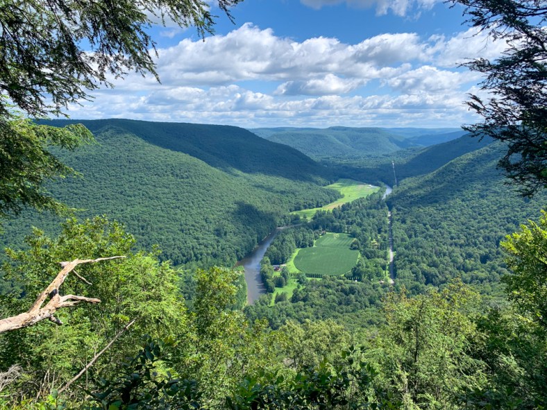
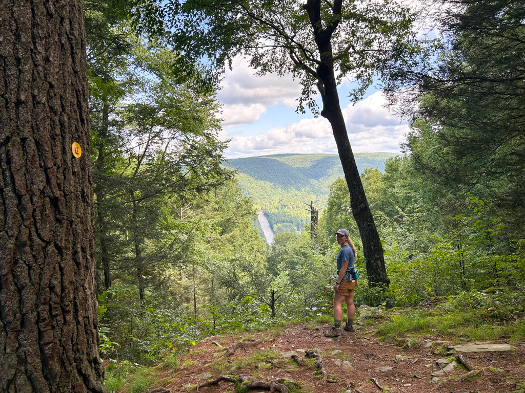
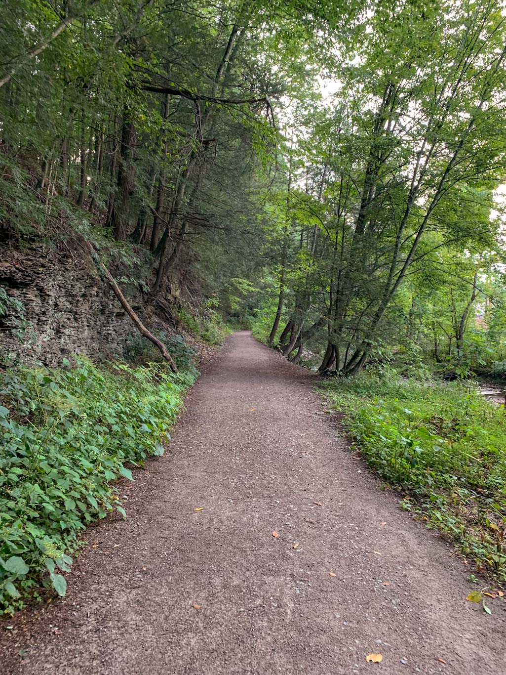
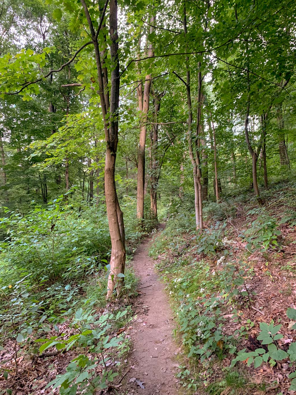
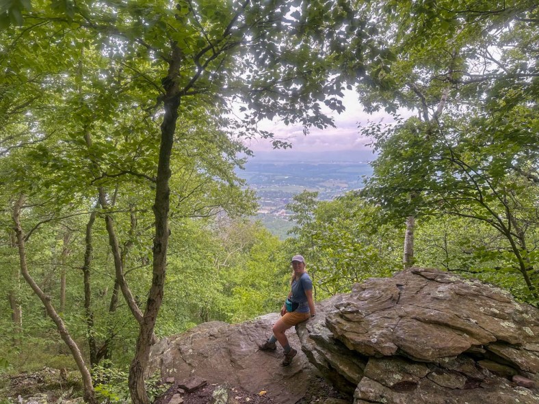
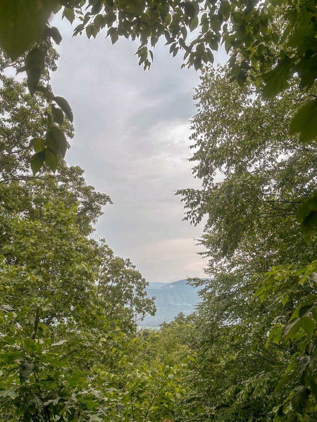
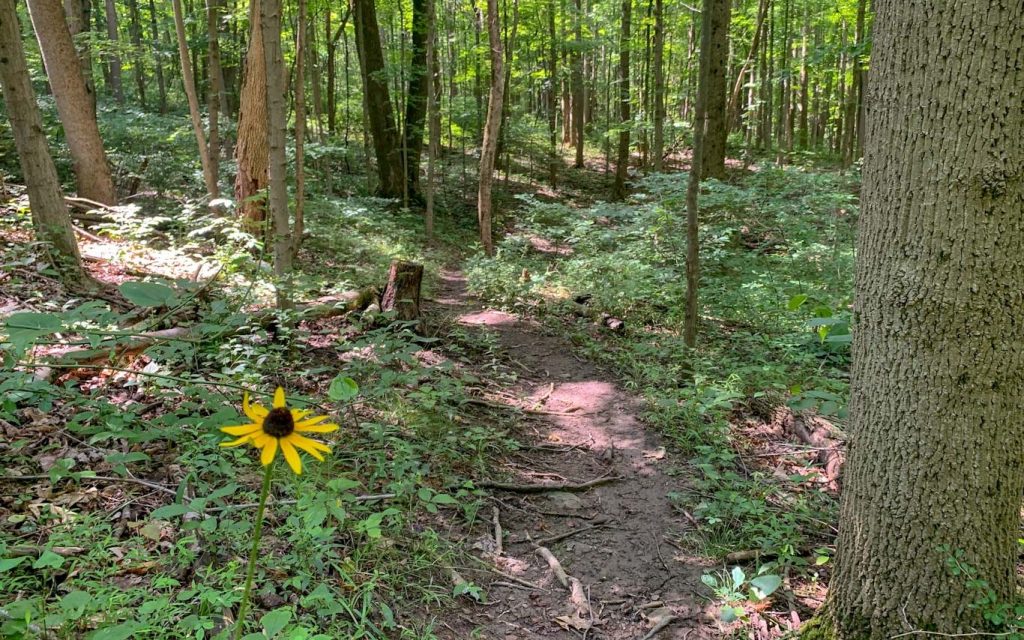
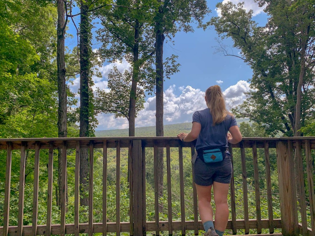
The Pine Creek Gorge is one of the best places in the state for stunning vistas, especially in the fall! Also known as the PA Grand Canyon, Leonard Harrision State Park is one of the best places to view this beautiful natural area. The Turkey Path Trail switchbacks down the hillside from the overlook to Pine Creek for a unique experience of seeing both the top and bottom of the Gorge. This hike is difficult though so after your challenge, you’ve earned a beer at the Wellsboro House. This restaurant and brewery in the small town of Wellboro, packs charm and small-town hospitality into a surprisingly robust taplist and delicious kitchen menu.
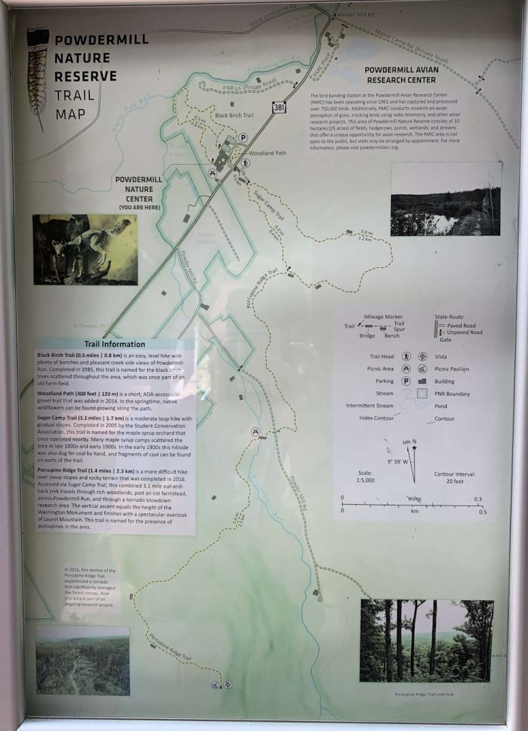
THE HIKE: Leonard Harrison State Park: Turkey Path
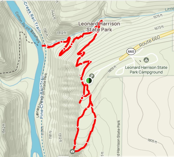
Length: 3 miles
Elevation Gain: 958 ft
Difficulty: Moderate
Time: 1.5-2 hours
Trail use: Hiking, leashed pets
Parking: Large lot at park office, facilities
H&H: 5/5
One of the must see areas in the state is the PA Grand Canyon. This deep gorge was carved out by a 47-mile section of Pine Creek. Several areas have been preserved as National Natural Landmarks, including the section encompassed by Leonard Harrison State Park. This park covered over 500 acres on the east side of the rim, with Colton State Park on the west side.

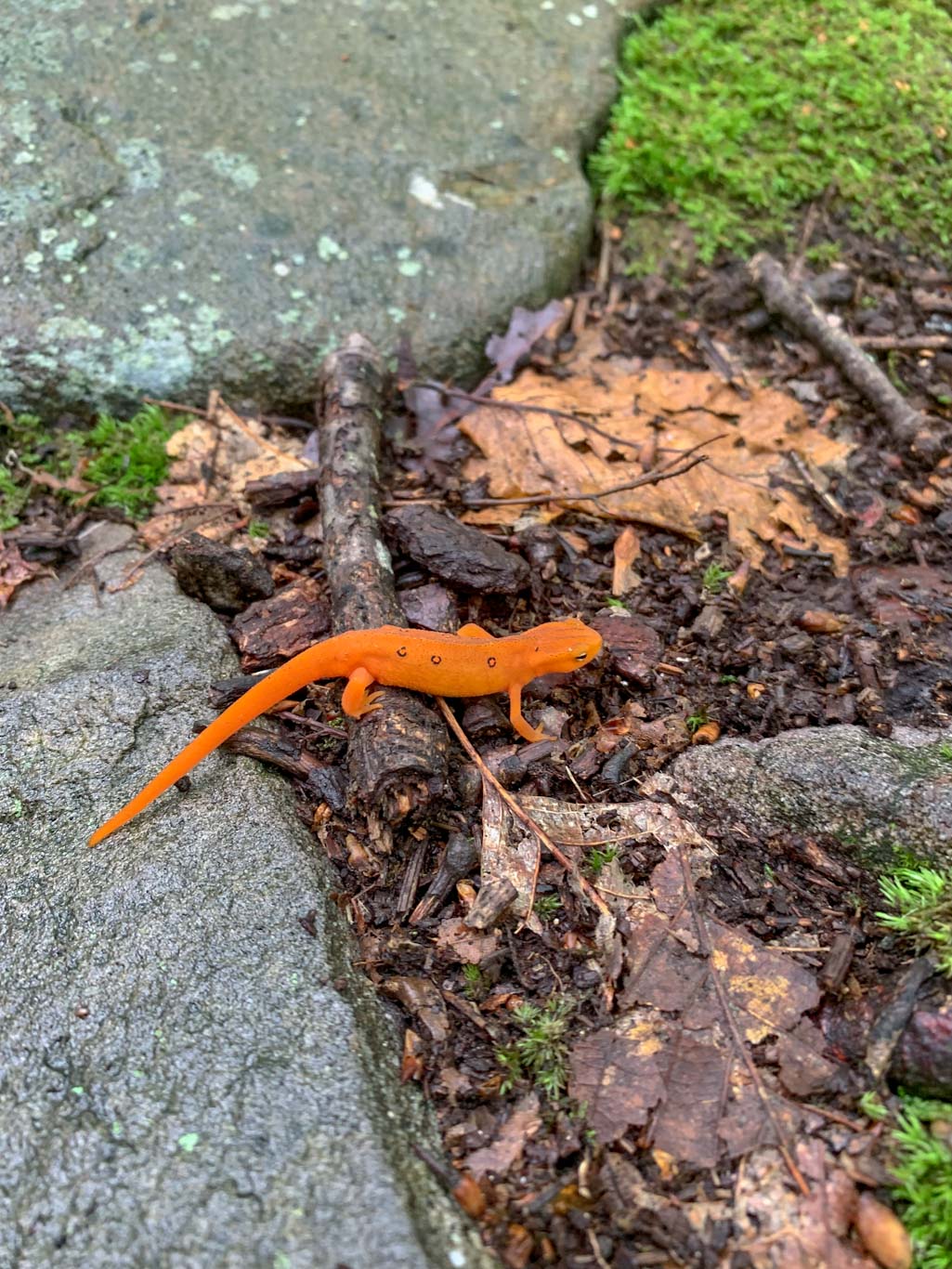
The canyon has long been an important spot for the region. In prehistoric times, it was used as a major travel route, much of which followed the same path as the modern Pine Creek Rail Trail. A logging boom led to the settling of the area where the creek was used to transport the felled trees. Later, train tracks replaced the old Native American paths along the creek and transported millions of tons of cargo along the rail lines. Like many areas in the state, this industry caused mass deforestation and a huge loss of habitat. It took many years before the deciduous forest began to recover and nature species like elk, otters, bald eagles, and beavers returned to the area. The park is named for businessman Leonard Harrison who built a career in the logging industry, but then protected the overlook areas of the gorge and eventually donated the land to the state in the 1920s for the building of a state park.
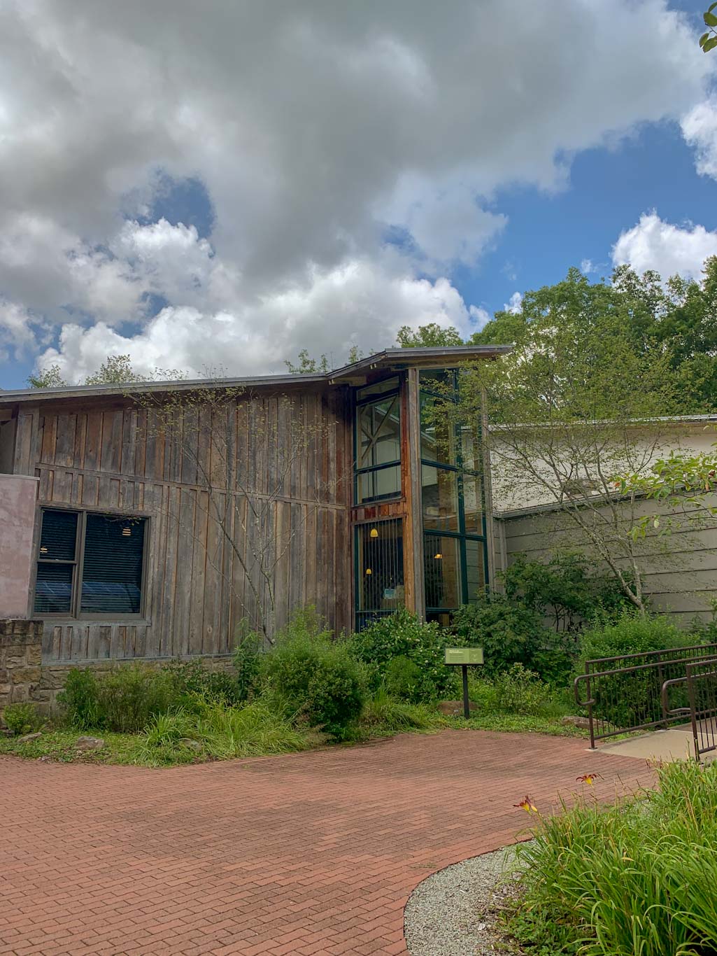
The park underwent renovations in 2023 and now sports a new visitor center. This hike starts with a steep trek along steps and natural paths down into the gorge to view waterfalls and get up close to Pine Creek. Afterward, be prepared for a heart pumping hike back up the hillside. From there, it’s an easy one mile loop to view the stunning overlook that peers deep down into the gorge.

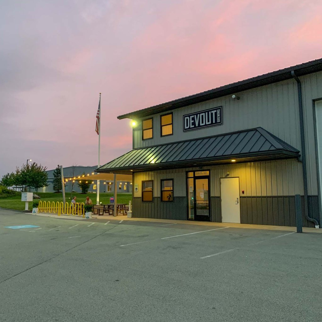
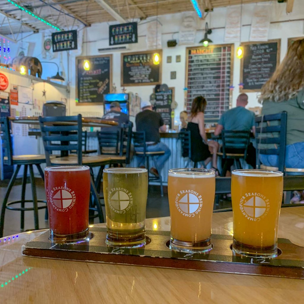
THE BEER: Wellsboro House Restaurant & Brewery

Address: 34 Charleston St, Wellsboro, PA 16901
Distance from Trail Head: 11 miles, 19 mins
Website: http://thewellsborohouse.com/
Food?: Full Kitchen
Details: Indoor and outdoor seating
The owners at Wellsboro House opened their popular restaurant back in 2008 after lovingly restoring the 1862 building it is housed in. Then in 2013, they began adding house- brewed beer to their menu, officially becoming the Wellsboro House Restaurant & Brewery. Demand quickly forced them to grow their operations and now they brew in a historic train depot just across the street from the main restaurant. This is fitting as Wellsboro has a long connection to the
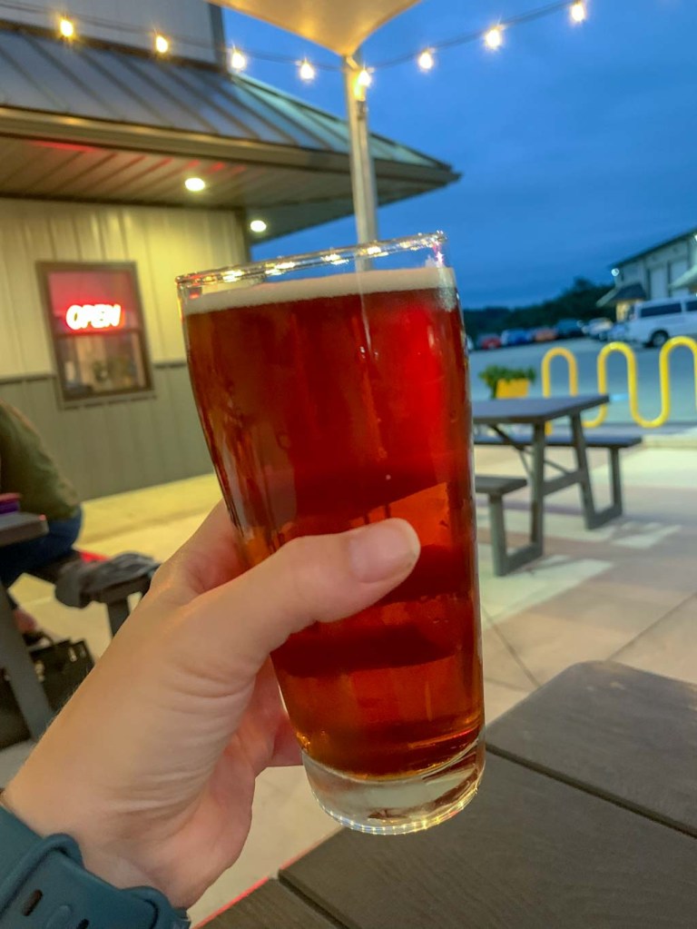
A visit wouldn’t be complete without a taste of Dan Smith’s Chocolate Stout, made with real chocolates from the popular Dan Smith’s Chocolates in Brookeville, PA.
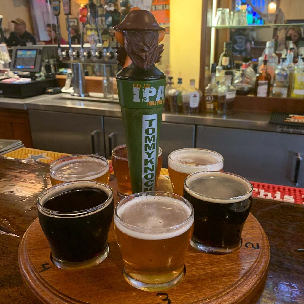
Our Beer:
- Dan Smith’s Chocolate Stout – Stout – 5.5%
- South of the Border Porter – Porter – 6.6%
- Bavarian Steam Beer – Wheat Beer – 6.6%
- Pumpkin Wheat – Wheat Beer – 5.6%
- Juicy Lucy – NEIPA – 7.5%
- Nessmuk Lager – Amber Lager – 6.6%