RCT: Springdale to Emmerling Park & Leaning Cask Brewing

Springdale, PA

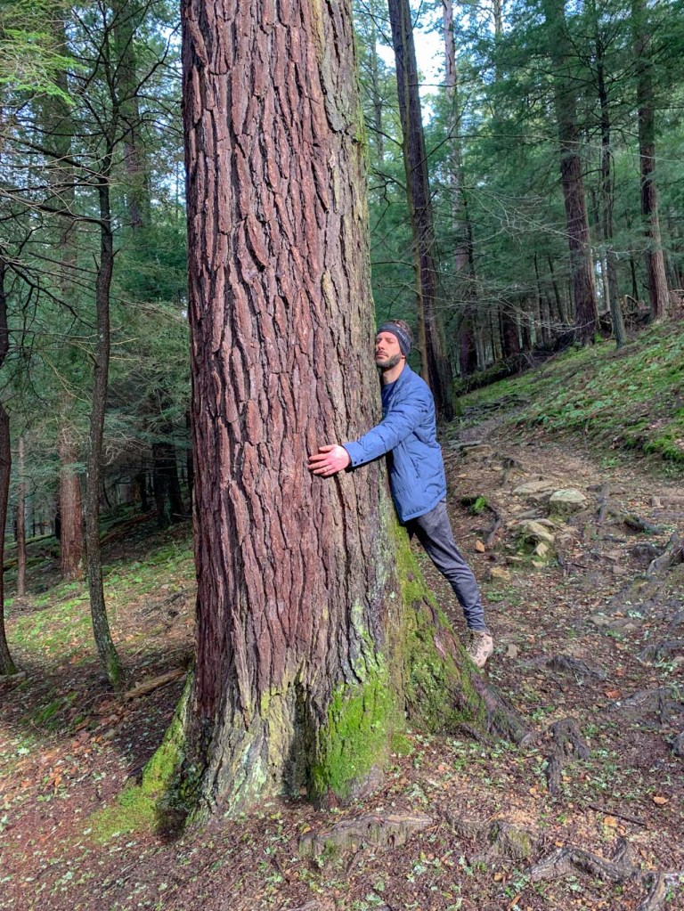
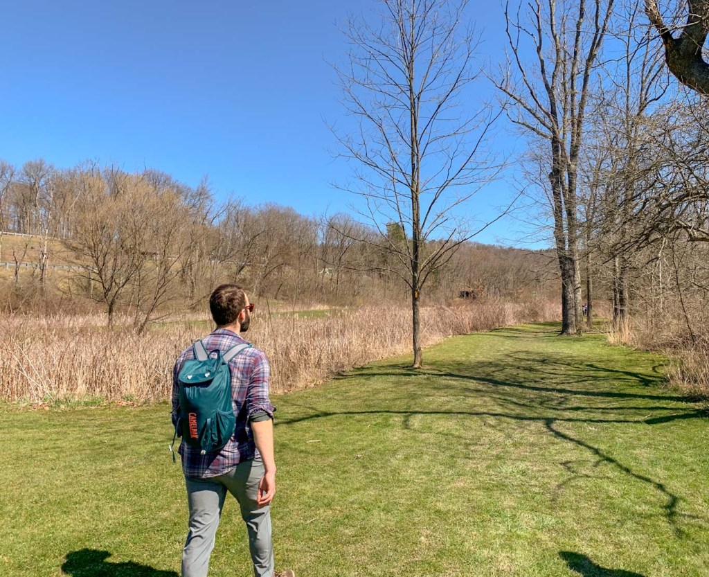
Big News and Big Hills! I’ll be tackling the Homestead Challenge aka the Half Rachel Carson Trail Challenge. That means in June, I’ll be hiking 19 miles in one day. Am I crazy? Maybe! Thankfully, the weather is getting nicer and I’m able to get out for some training hikes! The first section I tackled was the starting point of the half challenge at Springdale High School, close to the Rachel Carson Homestead. A big shout out to Tory from MyTrailsAreMany for getting me out on the trail to start training! This hike is a point to point (one way) hike which is best done with two cars. You’ll trek just under 9 miles and gain 1,365ft in elevation! This hike isn’t for the faint of heart but is a great way to get a taste of the RCT

THE HIKE: RCT – Springdale to Emmerling

Length: 8.8 miles
Elevation Gain: 1,365 ft
Difficulty: Challenging
Time: 3.5 hours
Trail use: Hiking, leashed pets
Parking: Large lots at either endpoint. Bring two cars to do Point-to-Point
H&H: 4/5

Training for the RCT Challenge is best done by tackling large sections of the trail. It’s best to do it with a partner or group so that you can carpool to the trailhead and leave another car at the endpoint. If going solo, just be aware that you’ll have to double back on yourself a lot! 

My friend Tory from MyTrailsAreMany, reached out about wanting to start training together. She did the Homestead Challenge last year and is going for the Full Challenge this year. Talk about hiking goals! Tory suggested this section of the RCT from Springdale to Emmerling Park because it had some big hills and was the first section of the Homestead Challenge. This was the perfect intro to the Challenge for me because it was the longest hike I’d done so far this year and the hills were NO JOKE. It definitely helped me set a baseline of where I need to improve! J and I were so grateful to have Tory as our guide and time keeper too. 

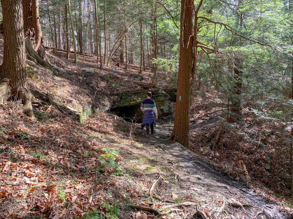
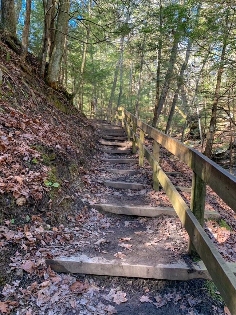
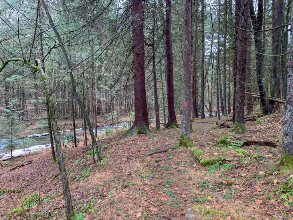
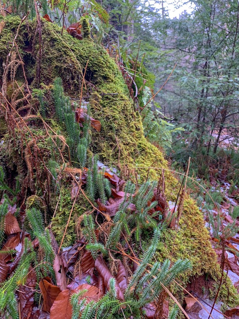
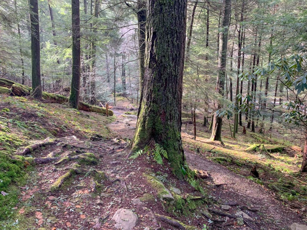
So, as I mentioned, this trail section starts at Springdale High School parking lot, right next to the baseball field. From there, head down Marion Ave where you’ll pass the original home of Rachel Carson. It’s undergoing some renovations right now, but hopefully will be back open soon. Continue to the end of Marion Ave where you’ll see a tree line and finally head into the woods. Always keep your eyes peeled for the yellow RCT blaze. You should almost always be able to see the next blaze from where you are. Be aware that at many spots along the trail there are intersecting paths and it can be easy to get off course. Let the yellow blazes guide you! 

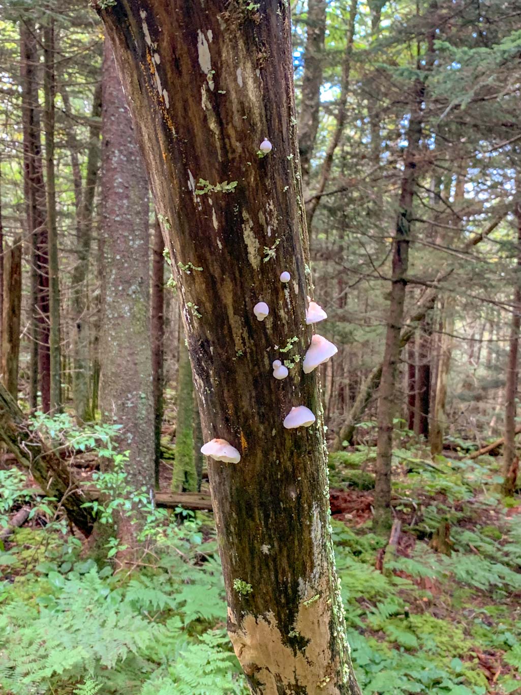
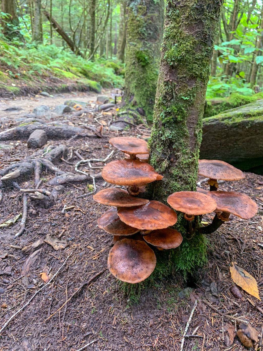
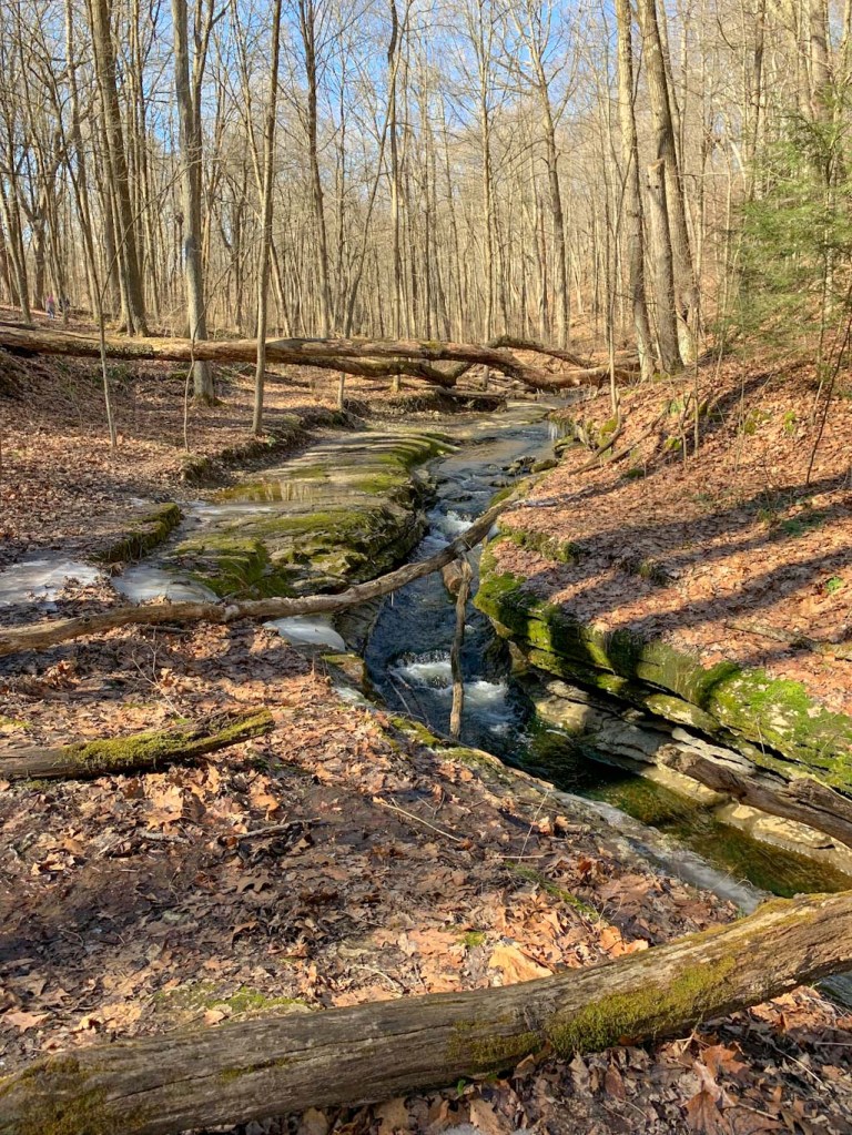
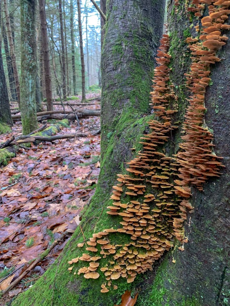
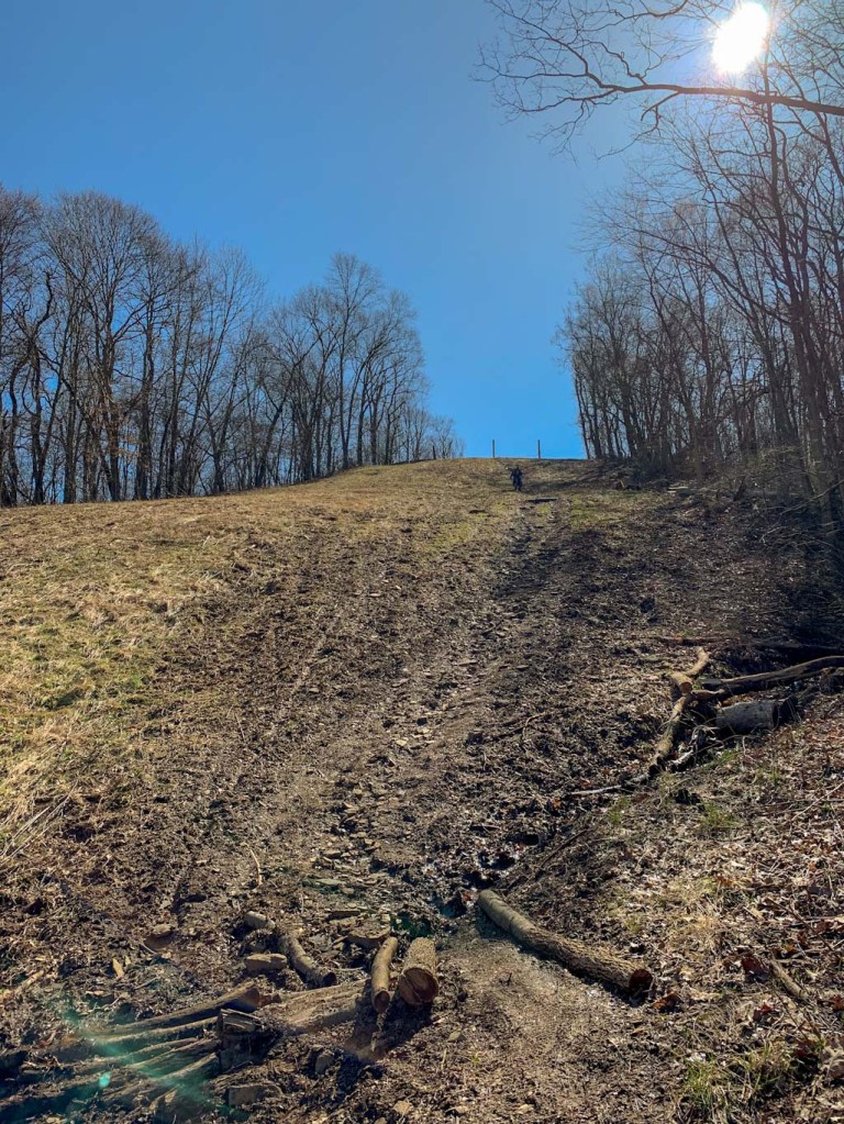
This section will lead you through woods, along some streets, through a couple streams, and up and down several big hills. Expect to have some wet feet along the way and remember that undignified butt scooting is always an option on those hills! Lots of water and plenty of snacks are a must for these hikes. 

If you’re interested in doing the Homestead Challenge (19 miles) or the Full Challenge (36 miles), there’s still time to enter! You can find the registration page here. If you’re already signed up for the challenge and are looking to start training, the RCT Conservancy has a number of orientation hikes and training hikes coming up or find a friend (like me!) to hike with! 

How do you prepare for long hikes? Got any leg strengthening exercises to share with me?

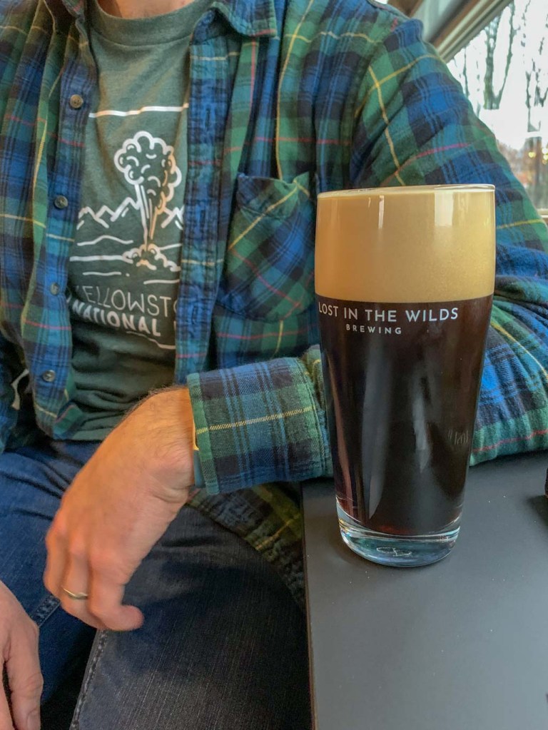
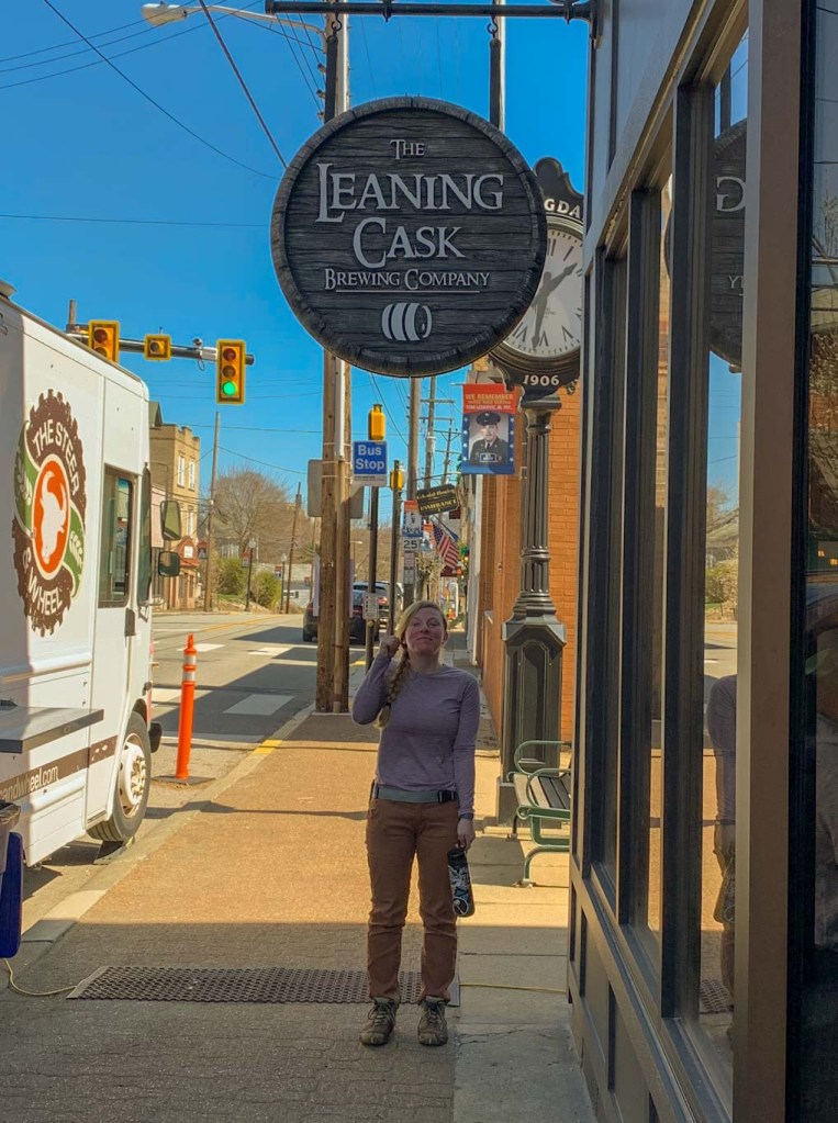
THE BEER: The Leaning Cask Brewing Co.

Address: 850 Pittsburgh St, Springdale, PA 15144
Distance from Trail Head: 0.5 miles, 2 mins
Website: https://www.leaningcaskbrewing.com/
Food?: BYOF, Food Trucks
Details: Outdoor seating, dog friendly

The best thing about leaving our car at Springdale for this hike? Leaning Cask Brewery is only 0.2 miles away! I’ve had my eye on Leaning Cask for ages but it always seemed so far out of the way. Thankfully this hike was the perfect reason to stop. Although I still feel bad for the amount of mud (and probable stank) that we left at the bar. Anyone else ever feel bad for going somewhere after a particularly muddy hike? I really need to start bringing a change of shoes! 

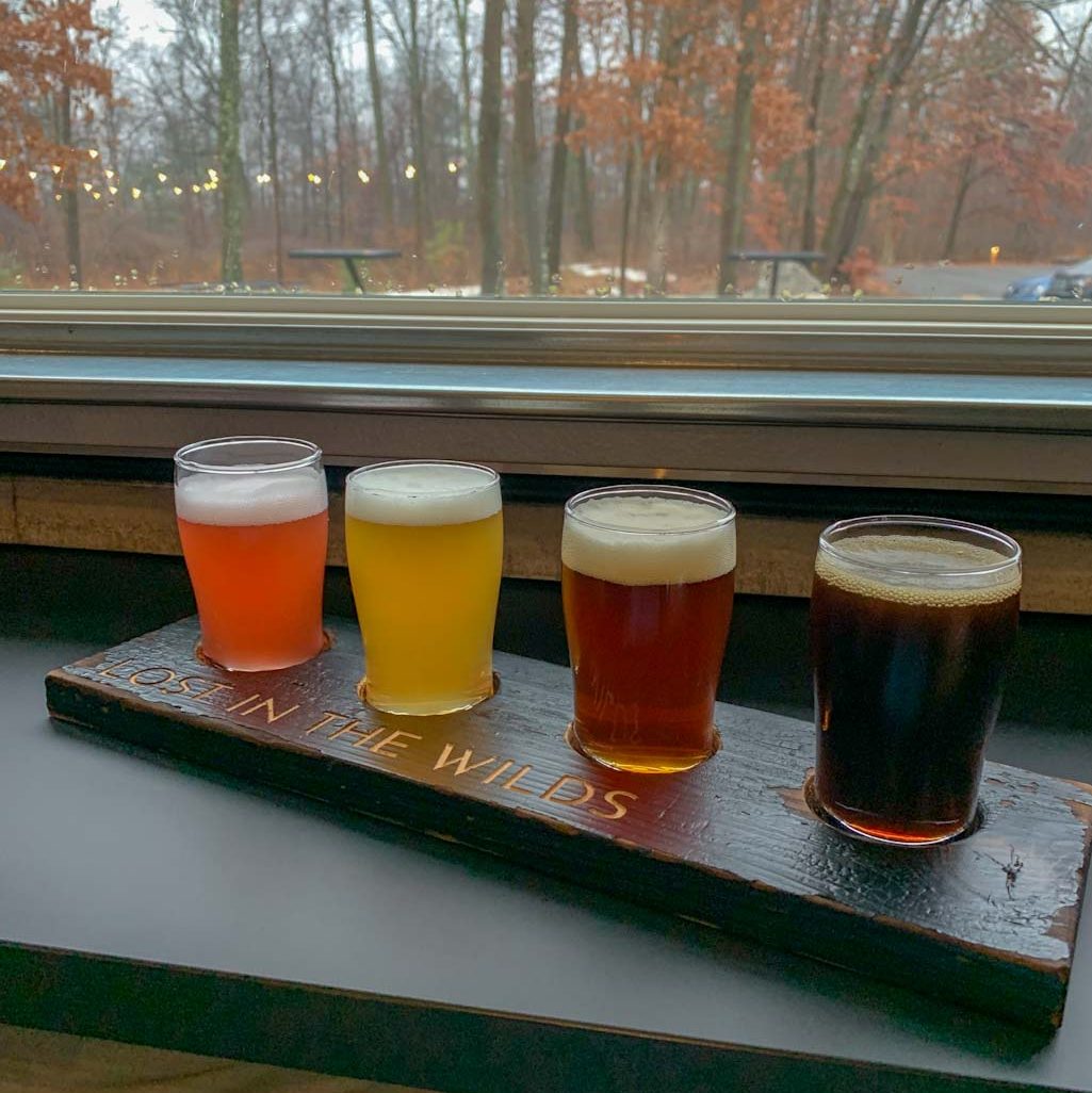
Anyway, Leaning Cask is a great post-hike spot because they’ve got a large outdoor seating area as well as frequent food trucks on the weekend. They’ve also got an awesome taplist with so many different beer types, as well as some local wine. Also, true to their name, they’ve got some beer on cask! 

Cask ale – Also known as Real Ale, Cask Beer goes through a final fermentation in a cask or barrel. It features a slight carbonation and is served unfiltered at “cask temperature” (around 55F).

The Leaning Cask has been bringing an English pub flair to Springdale since 2016. The owners found themselves heavily influenced by English pub culture and wanted to bring that warmth to their brewpub in PA. You’ll also notice that the two are big dog lovers, as evidenced by many of their beer names. Hence, the pub is friendly to well-behaved and leashed doggos. 

Our Beer:

  • Goldendoodle – Golden Ale – 4.2%
  • Um…That’s On Fire – American IPA – 5.6%
  • Celestial Canine – NEIPA – 6%
  • Pedigree: Blood Orange & Cranberry – Fruited Sour – 6.8%
Photo cred: MyTrailsAreMany

Also be sure to check out https://mytrailsaremany.com/ for hiking planning guides, tips and gear, and more!

Great Smoky Mountains: Clingman’s Dome, Andrew’s Bald & Mountain Layers Brewing

Bryce City, NC

Okay finally getting around to sharing one of our Hike n Hops from Sep ‘22 trip to the Great Smoky Mountains! Although we didn’t get to spend as much time as I wanted here, we did do this awesome hike that included the iconic 360 view from Clingmans Dome. Then we did a trek along Andrew’s Bald, which took us through incredibly lush forests. After exploring more of the park, we ended our day at Mountain Layers Brewing in Bryson City!

THE HIKE: Clingmans Dome & Andrews Bald Trail

Length: 4.5 miles
Elevation Gain: 1100 ft
Difficulty: Moderate
Time: 2.5 hours
Trail use: Hiking Only
Parking: Large lot at trailhead with pit toilets
H&H: 5/5

Clocking in at just over 6,600 ft tall, Clingmans Dome is the tallest point in Great Smoky Mountains National Park! It’s a popular spot for visitors, who, after a heart-pumping climb to the top, can see up to 100 miles on a clear day. You can access Clingmans Dome by taking the Clingmans Dome Access road at about MM 15 on Newfound Gap road (the main scenic byway linking Gatlinburg, TN to Cherokee, NC). This is a very popular area of the park so be prepared for traffic and crowds! We aimed to start our day at this point so we could beat the crowds! After parking at the trailhead, there’s a paved path up to the viewing tower. But don’t let the pavement trick you, it’s an incredibly steep hike and we had to stop and catch our breath a few times. The view from the Dome absolutely makes it all worth it though! It was fairly cloudy when we first arrived but thankfully a cool breeze moved some of the clouds away and we got some stunning views of the woods. 

PRO-TIP:

Always bring extra layers when going to Great Smoky National Park! The weather can be much cooler than expected!

After the Dome, a friendly ranger convinced us to check out a side trail to Andrews Bald. We’re so glad that we took this advice since it ended up being one of our favorite parts of the trip. We had the trail nearly to ourselves and couldn’t believe the amount of plant life in the overgrowth! The unique climate of GSMNP makes it flush with mushrooms and moisture-loving critters. In fact, the Mountains are known as the salamander capital of the world since more than 30 distinct species of salamanders can be found there! The Great Smokies are also known and beloved for their black bear population but sadly we didn’t see any on this trip! 

So you might be wondering, what the heck is a bald? Grassy balds are treeless, grassy meadows that occur below timberline and mostly on ridgetops in the southern Appalachian Mountains. The really cool thing about them is no one is really sure where they came from. These areas are incredible to experience though because one minute you’ll be hiking through dense tree coverage and then suddenly it opens to a grassy field with vistas of the surrounding mountains. We sat with the majesty of Andrew’s Bald for a while, especially since we had the place to ourselves. It was the perfect spot to relax and even a little bird friend wanted to say hi! But for the most part, I think I’ll just let the pictures of this awesome trail speak for itself!

THE BEER: Mountain Layers Brewing Company

Address: 90 Everett St, Bryson City, NC 28713
Distance from Trail Head: 30 miles, 50 mins 
Website: http://www.mountainlayersbrewingcompany.com
Food?: Food Trucks
Details: Outdoor seating, dog friendly outside

After a day full of hiking, beautiful vistas, stunning waterfalls, and many granola bars, we were ready for a brew! Honestly sometimes doing a Hike n Hop can be pretty difficult in a National Park because you have to go to the nearest city which can be quite a drive! For our trip, we were staying in Asheville and knew that we wanted to head back along the Blue Ridge Parkway, so a stop in Bryson City seemed like a plan! 

Mountain Layers Brewing Company has been a local establishment in Bryson City since 2014. They pride themselves on making fresh delicious beer and being a welcoming spot for the community and visitors alike! Their location has a small front taproom inside or a sprawling roof patio. They also frequently have rotating food trucks for all of your post hike needs! Having visited in mid September, we were happy to see some fall beers on the tap list and really enjoyed the Oktoberfest! The folks at Mountain Layers were incredibly friendly and I’m so glad that we chose this spot to fuel up before our long drive back to Asheville!

Our Beer:

  • Oktoberfest – Amber Layer – 5.9%
  • Fontana Hoppiness – IPA – 6.5%
  • Elk Watch Stout – Irish Dry Stout – 5.6%
  • Dragon Tamer – NEIPA – 5.8%
  • Wee Be Heavy – Scotch Ale – 6.5%
  • Prickly Pear – Gose – 4.3%

Stay tuned for more of our Great Smoky Mountain NP and Asheville trip!

Hell’s Hollow – McConnells Mill SP & ShuBrew

Portersville, PA

McConnell’s Mill State Park is a perfect day trip from Pittsburgh! It’s only about an hour north of the city and is a great nature retreat. You can visit the popular old gristmill and covered bridge or follow the more secluded North Country Trail along the creek. On this visit, we started out with the easy Hell’s Hollow hike to see the beautiful waterfall and then did a nice out and back section of the Slippery Rock Gorge Trail. Afterward, we headed back toward town and stopped in the lovely town of Zelienople for dinner and a brew at Shubrew. We’ve been spoiled with such a mild winter and that means getting outside as much as we can!

Looking for more adventures in Pennsylvania and beyond? Check out my new book: Beer Hiking Pennsylvania and New Jersey

THE HIKE: Hell’s Hollow & Slippery Rock Gorge Trail (NCT)

Length: 6.3 miles
Elevation Gain: 720 ft
Difficulty: Moderate
Time: 2.5 hours
Trail use: Hiking, trail running, leashed pets
Parking: Large lot with port-a-potty
H&H: 4/5

McConnells Mill State Park is located in Portersville, PA in Lawrence County and encompasses over 2,500 acres of land. It included the Slippery Rock Creek Gorge, a National Natural Landmark. The unique landscape around the gorge was formed by glacial runoff thousands of years ago, leaving behind boulders and beautiful waterfalls. This is one of those places that’s hard to believe is in Western Pennsylvania!

Hell’s Hollow is a particularly beautiful section of the state park. Despite its name, it’s an easy 0.5 mile, flat trail to view the waterfall. The area’s name actually comes from the nearby old lime kilns that locals thought looked like portals to hell in the nighttime. I highly recommend starting out by checking out Hell’s Hollow and then venturing onto the Slippery Rock Gorge Trail. There’s a lot of parking at the trailhead, although I imagine that this fills up quickly on a nice summer day! To get to Hell’s Hollow, bear to the right and follow the well-marked trail. It’s a simple in and out that follows along a babbling creek. You do have to come most of the way back before you get on the Slippery Rock Gorge trail. 

The bulk of our hike was along the Slippery Rock Gorge trail which is also part of the North Country Scenic trail. If you have two cars, I think it would be awesome to leave one car at the main McConnell’s Mill parking lot so that you could do the whole 7.5 mile trek from Hell’s Hollow to the Gristmill. Unfortunately, we just weren’t up for a 15 miles round trip! This hike is definitely a moderate hike with a lot of ups and down and some rocky spots. We found it to be particularly challenging to walk in some of the muddy spots. The joys of winter hiking is that the sunny side of the hill is mushy and the shaded side is still icy! This is a hike that I would recommend crampons in during wintery weather and hiking poles if you’d like some extra balance.

If you have time, be sure to visit the main section of McConnell’s Mill as well! The Kildoo Trail is a particular favorite of mine and is just around 2 miles. Be sure to see the historic gristmill and the covered bridge, both of which were recently featured in the Netflix movie The Pale Blue Eye

THE BEER: ShuBrew

Address: 205 S Main St, Zelienople, PA 16063
Distance from Trail Head: 14.6 miles, 26 mins 
Website: http://shubrew.com/
Food?: Full Menu
Details: Rooftop Seating, dog friendly outside

Shubrew has been a staple of Zelienople since it first opened in 2013. It offers a nice (delicious!) menu as well as a large list of house-made brews. And if beer isn’t your thing, they also offer a wide selection of cocktails and wine! Subrew has grown quite a bit since their early days 10 years ago. Now, they operate a brewing facility in nearby Harmony, which allows them to brew a lot more and save space in their taproom for more seating! The owners of ShuBrew also operate General Shu’s (located just across the street) which features fast-casual Chinese food as well as a selection of ShuBrew beers! The taproom also features a full menu with some nods to Chinese influenced food, as well as more traditional pub fare. We don’t usually eat out at breweries, but we made an exception for the pulled pork nachos and they were heavenly! 

ShuBrew is definitely one of those places we will make a trip to visit and I know we’ll be back again soon! We’d like to visit again in warmer months to sit on the rooftop deck! 

Other great spots in the area: The Harmony In (North Country Brewing), Union Brothers Brewing, Burgh’ers Brewery

Our Beer:

  • Chew on That – Pilsner – 5.6%
  • Nut Brown Ale – Brown Ale – 5.4%


Clear Creek SP – Beartown Rocks & Mechanistic Brewing

Clarion, PA

Our final excursion during our New Years Weekend in Clarion was Beartown Rocks in Clear Creek State Park. I loved this hike because we had the trail almost completely to ourselves and I felt so at peace following the creek. The weather for us during this hike wasn’t the greatest for us, being a bit cold and rainy so this trail was a bit treacherous at times. We encountered a lot of mud and slippery spots. Is it really winter hiking if you don’t fall a few times? The tumbles were worth it though for the view at the Rocks. These were really incredible geological features that I highly encourage you to take the time to explore! After a chilly, muddy hike, the best way to warm up is with a brew at Mechanistic Brewing in downtown Clarion. I can’t imagine a better way to end a winter hike than with their Spruce Tip IPA!

THE HIKE: Beartown Rocks

Length: 4.1 miles
Elevation Gain: 700ft
Difficulty: Moderate
Time: 1.5-2 hours
Trail use: Hiking and leashed pets
Parking: Large lot at trailhead with pit toilets
H&H: 5/5

Clear Creek State Park is located in Jefferson County and encompasses just shy of 2,000 acres. Due to its proximity to Cook Forest, it’s a great addition to a weekend in the PA Wilds! The land that makes up Clear Creek was a key part of the lumber industry in the 1800s for Northwestern PA. Its access to the nearby Clarion River made it a prime area for logging. Eventually water power was replaced by steam power and logging tapered off in the area. The land was sold in 1919 to the state and within a decade it became a camping destination. Like many parks, Clear Creek benefited from FDR’s Civilian Conservation Corps which planted trees, built facilities, and trails in the area. Several of the buildings from this era are still in use and are on the National Register of Historic Places. The state park abuts the Clear Creek State Forest in which the majority of this hike actually takes place.

Beartown Rocks can be accessed by car via Corbett Road. This is a dirt State Forest road that may not be maintained during the winter months so travelat your own risk! There are also trails around the area if you prefer to hike to Beartown Rocks. We parked at the Clear Creek State Park at the swimming beach lot off Route 949. The parking lot is really big and has pit toilets so it was an ideal place to start our hike! The Beartown Rocks trail begins across the street and is very clearly labeled. You’ll be following this same trail all the way to the Rocks! This is a moderately difficult hike as there are some small stream crossings (no wet feet!) and a few steep inclines. I thought it was the perfect end to our hiking weekend because we saw so many different types of forests from conifer-lined streams to rhododendron covered hills! This is another area that I would love to come back when the flowers are blooming. 

The Rocks themselves are well-worth the heart-pumping final descent. These unique features just seem to rise up out of the ground completely unexpectedly. They are likely remnants of the last Ice Age, due to the speckles and pitting on their surface. There is a nice platform on the top of the largest rock that allows you to see out over the valley. It was hauntingly beautiful in winter especially since we hadn’t seen a soul the whole hike. There was a dense fog hanging over the treetops that was beautiful. I think this would be a lovely fall hike too! To get back to the parking lot, just retrace your steps but be careful! Some of those steep inclines were really slippery going back down! I will fully admit that I took a few tumbles. Thankfully not into this river this time (ahem, here’s looking at you, first day hike in 2021). 

This was an excellent hike and a big shoutout to MyTrailsAreMany for suggesting it! I would have never found this one on my own and I’m so glad we went out of our way to check it out. Crossing off another PA State Park! 

THE BEER: Mechanistic Brewing Co.

Address: 538 Liberty St, Clarion, PA 16214
Distance from Trail Head: 24 miles, 32 mins 
Website: https://www.mechanisticbrewing.com/
Food?: Food Trucks or BYOB
Details: Outdoor seating, dog friendly outside

Mechanistic Brewing is another craft beer taproom in the heart of Clarion. It’s right off the main drag and boasts a super cool taproom and lounge. They don’t have an onsite kitchen, but often host food trucks in the warmer seasons and welcome BYOF. They have a huge outdoor patio space and welcome all to their taproom, families included! Their tagline is “Beer as a mechanism to bring people together”. Well I love that! We couldn’t have had a nicer time at this taproom. All of the staff were so nice and we had some great chats about the area and their beer. By far, the standout for favorite beer was their Little Full, Whole Lotta Sap IPA which was made with spruce tips. I was hesitant because I haven’t liked piney beers in the past but this one was so good! It smelled incredible and managed to balance the pine with a sweet hazy beer. It was delicious and honestly I couldn’t imagine a better beer to have after walking in the woods! I didn’t realize it until I was doing some research for the blog, but the two staff holding down the fort at the bar the day we visited were actually the owners, a husband and wife team! No wonder the place had such a lovely neighborhood vibe. If it wasn’t so far, I’d be back all the time! 

Our Beer:

  • Little Full, Whole Lotta Sap – Spruce Tip West Coast IPA – 6.1%
  • Snow Angel – IPA – 5.6%
  • Belgian Saison – Farmhouse Ale – 4.6%
  • Cali Blonde – Blonde Ale – 4.4%

Cook Forest SP – Forest Cathedral & Lost in the Wilds Brewing

Shippensville, PA

Another incredible hike in Cook Forest State Park is the Forest Cathedral. These trails meander through the old growth section of the woods which means you’ll see some enormous conifer trees! There’s a lot of interweaving trails here but we took the Longfellow loop for a nice 2 mile trek. The terrain is a bit bumpy at times and you can expect some areas of elevation. Also, if you’re hiking in the winter, you’re likely to encounter ice on these trails as the dense trees keep the sun from warming up the forest floor. Crampons are a must! This is a great trail to slow down and see what you can see.

THE HIKE: Forest Cathedral – Cook Forest State Park

Length: 1.9 miles
Elevation Gain: 272 ft
Difficulty: Moderate
Time: 1 hour
Trail use: Hiking, Leashed Pets
Parking: Large lot at log cabin with pit toilets
H&H: 5/5

Another of our hikes from our New Year’s trip to Cook Forest State Park was the Forest Cathedral area. This area is full of ancient conifers that stretch far into the sky. Even in winter, their green needles dapple the sunlight and create a soft, quiet underbrush. Some of these trees are the tallest in the eastern US! These trees make up what is called an “Old-growth Forest” and are some of the oldest trees in Pennsylvania. This area is so unique and of ecological significance that it is a National Natural Landmark. 

There are several ways to get to the Forest Cathedral, with the most easily accessible starting at the Log Cabin learning center on Forest Road, just up the road from the Cook Forest Visitor Center. Although the cabin itself was closed for the season, there were bathrooms available and a large parking lot. From here, we hopped on the Longfellow trail which immediately led us into the dense forest. We were stunned by the majesty of the enormous trees and also humbled by the downed trunks. It can be a little intimidating to imagine the force wind and storms would have to have to take down one of these giants! The trail was quiet but with some inclines and bumpy terrain. We had a lovely time in the winter, but the icy trails can be dangerous! We followed the Longfellow trail until it reached the stream. At this point, another small trail leads up to Forest road where there are a few other parking spots. If you follow this trail, you will be on the North Country Scenic Trail. From here, we meandered along the easy and wide Tom’s Run trail which follows the stream. Under normal circumstances, you can follow this trail over the stream and it will lead back to the Log Cabin parking lot. However, they are currently replacing the footbridges so we had to bushwhack our way to the parking lot. Not my favorite thing to do but sometimes you have to be resourceful! 

This trail was so beautiful in the icy winter but I would also love to see it during the height of rhododendron season. I think the juxtaposition of the towering hemlocks and white pines with the exuberant blooms would be beautiful! Overall, Forest Cathedral is a must-do hike in PA and I hope you get the chance to see it! 

THE BEER: Lost in the Wilds Brewing

Address: 21964 PA-66, Shippenville, PA 16254
Distance from Trail Head: 15.3 miles, 23 mins 
Website: http://lostinthewildsbrewing.com/
Food?: BYOF, Food Trucks in summer
Details: Outdoor seating, Dog friendly outside, Bike trail nearby

Lost in the Wilds is a fairly new brewery in Clarion county that has pretty much everything you’d want in a watering hole in the woods. They’ve got a bright sunny taproom with a wide selection of house-made beer and other local booze, a huge outdoor space that often hosts concerts and food trucks, and are located right on Route 66 Trail which is popular for walking, biking and even cross country skiing. I found this space to be so incredibly inviting and I loved that there were people from all walks of life in the taproom enjoying a brew. It definitely felt like a gathering place for the community! 

Despite being pretty new, Lost in the Wilds has already garnered some big attention! They were featured in the Pittsburgh Post-Gazette among a list of “Notable Restaurants and Breweries along Bike Trails” and Travel Mag gave them a nod on their list of “10 Must-Visit Pennsylvania Breweries”. It sounds like things are going to just keep getting better here! 

With their large outdoor space, Lost in the Wilds is very family friendly and invites fuzzy friends on the patio and grounds only. Since they have no kitchen, you’re also welcome to bring food or order from a food truck. Check out their website for the list of trucks starting in April. 

Just be aware that Lost in the Wilds is taking a January Break! They’ll be back open and doing their thing on January 26th. 

Our Beer:

  • Bear Fox – NEIPA – 7%
  • Cran Cherry Sour – Cranberry and Cherry Sour – 6.5%
  • Oatmeal Stout – Stout – 6.8%
  • Hot Cocoa Stout – Stout – 5.7%