Laurel Highlands, PA

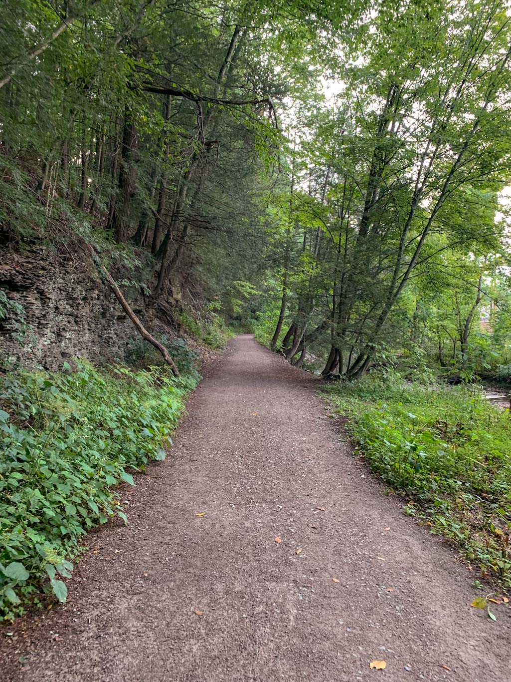
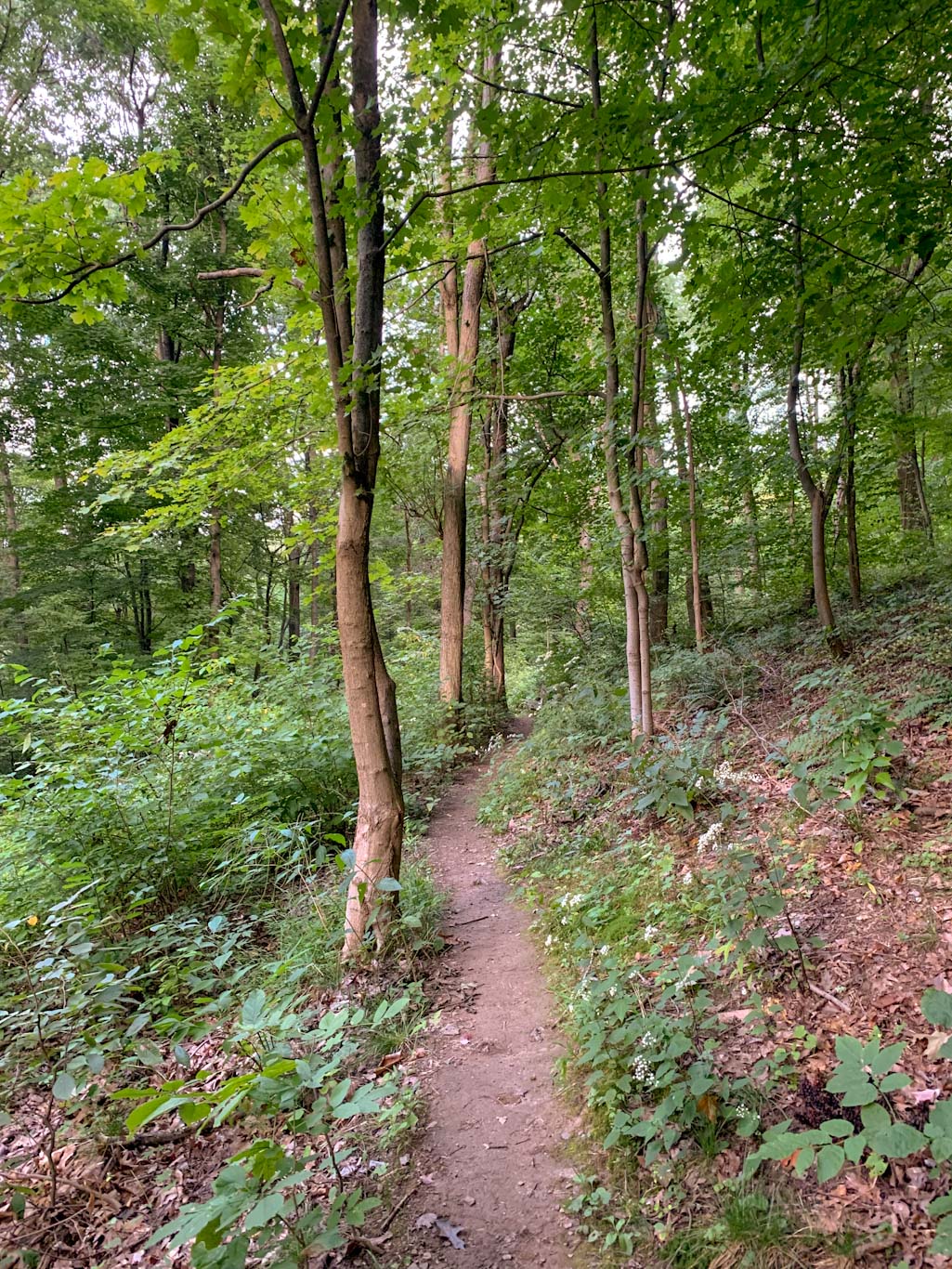
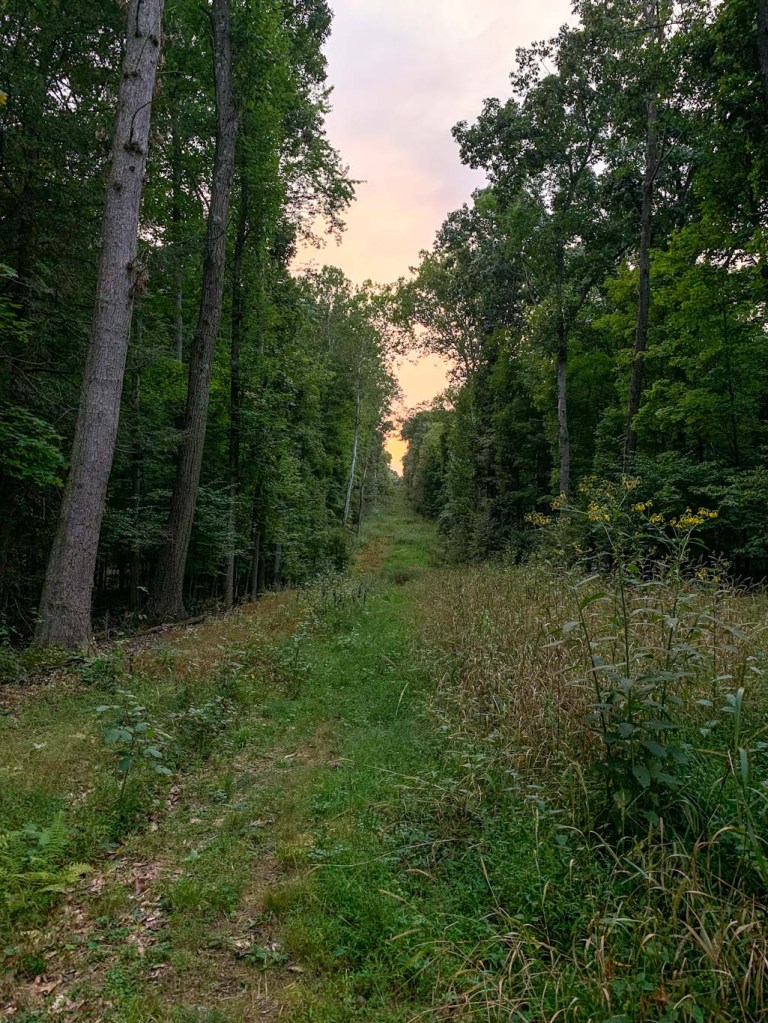
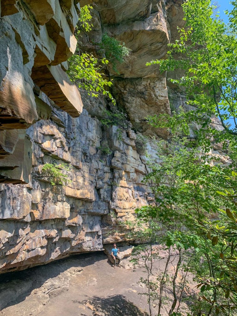
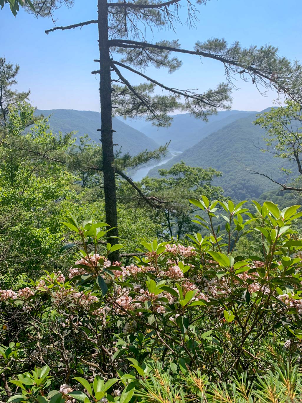
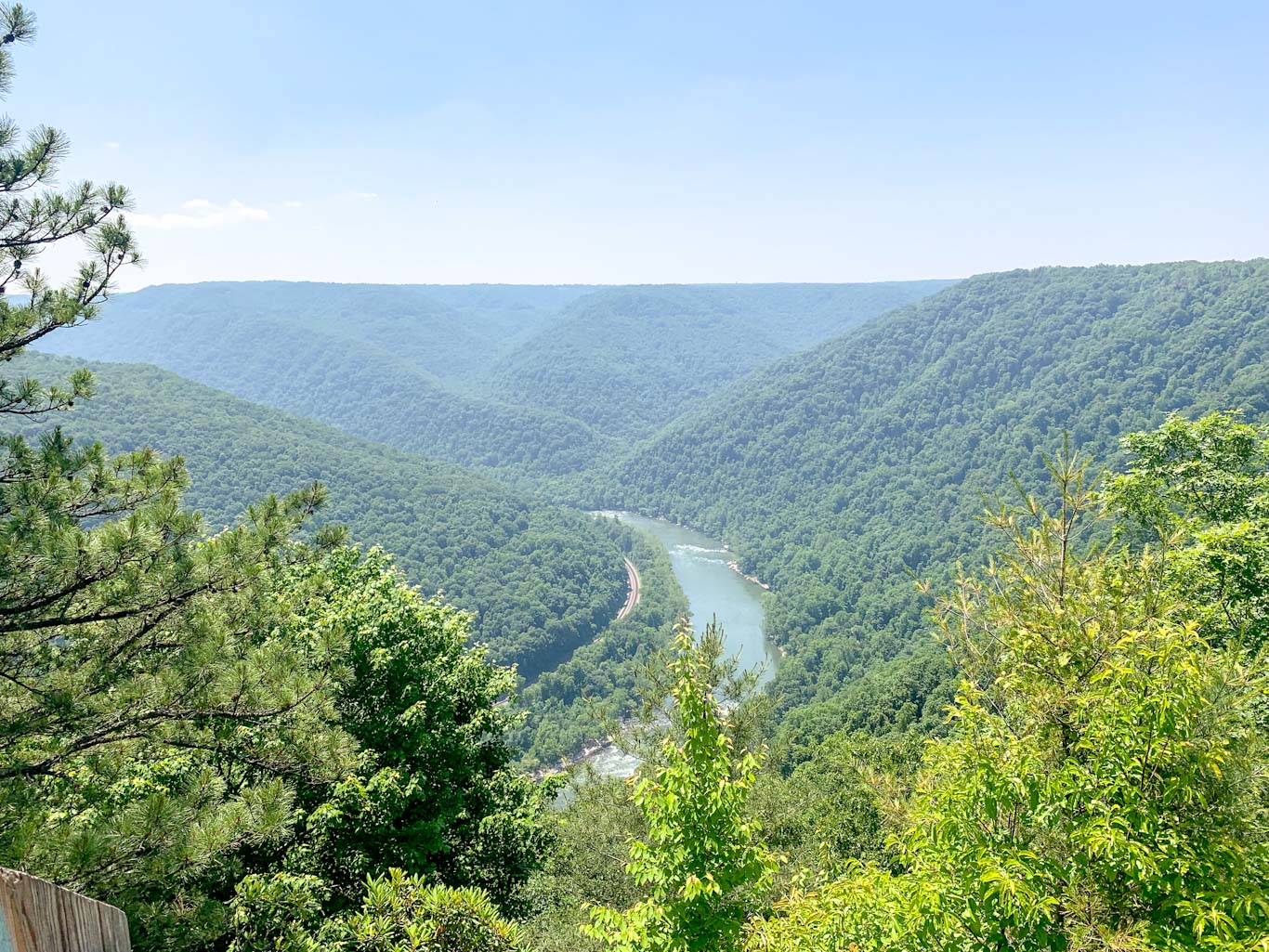
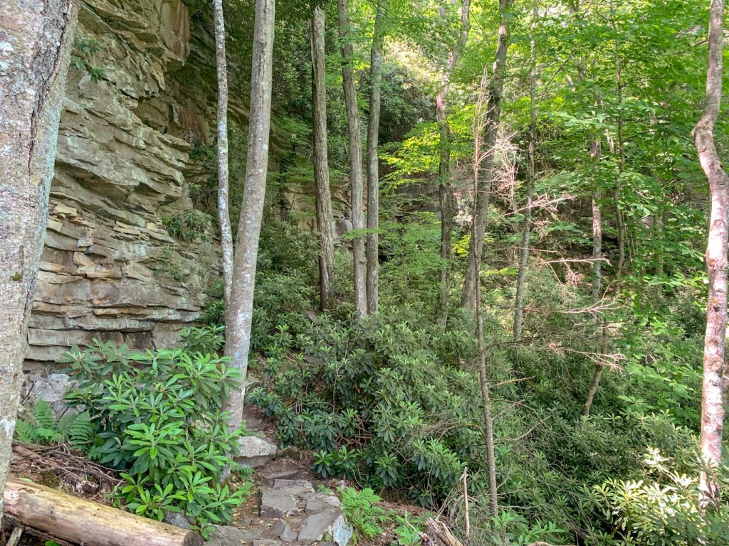
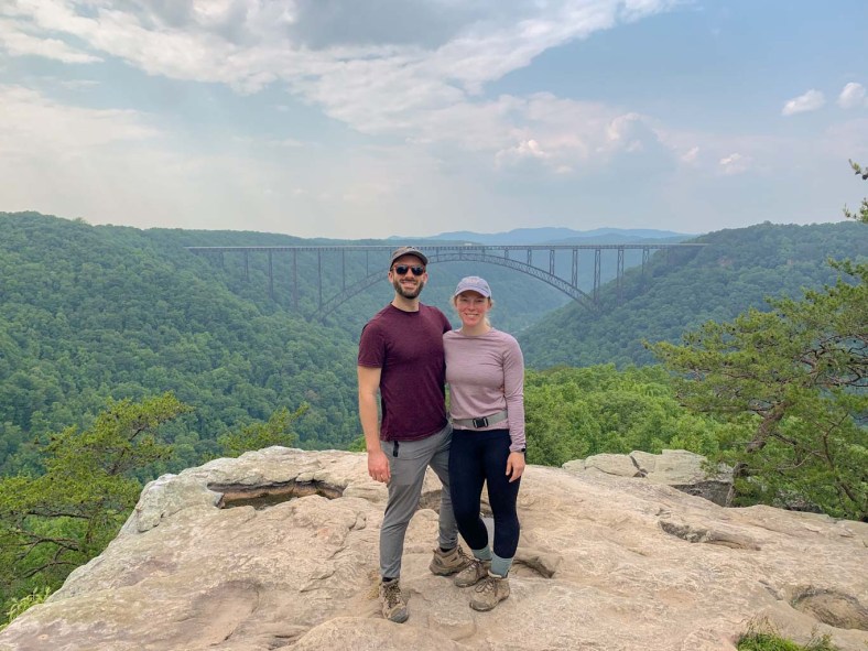
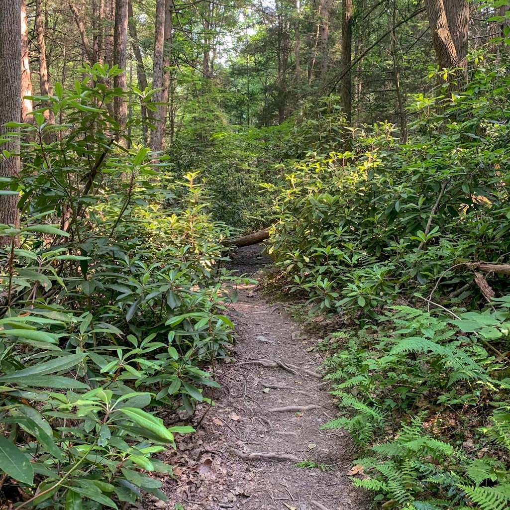
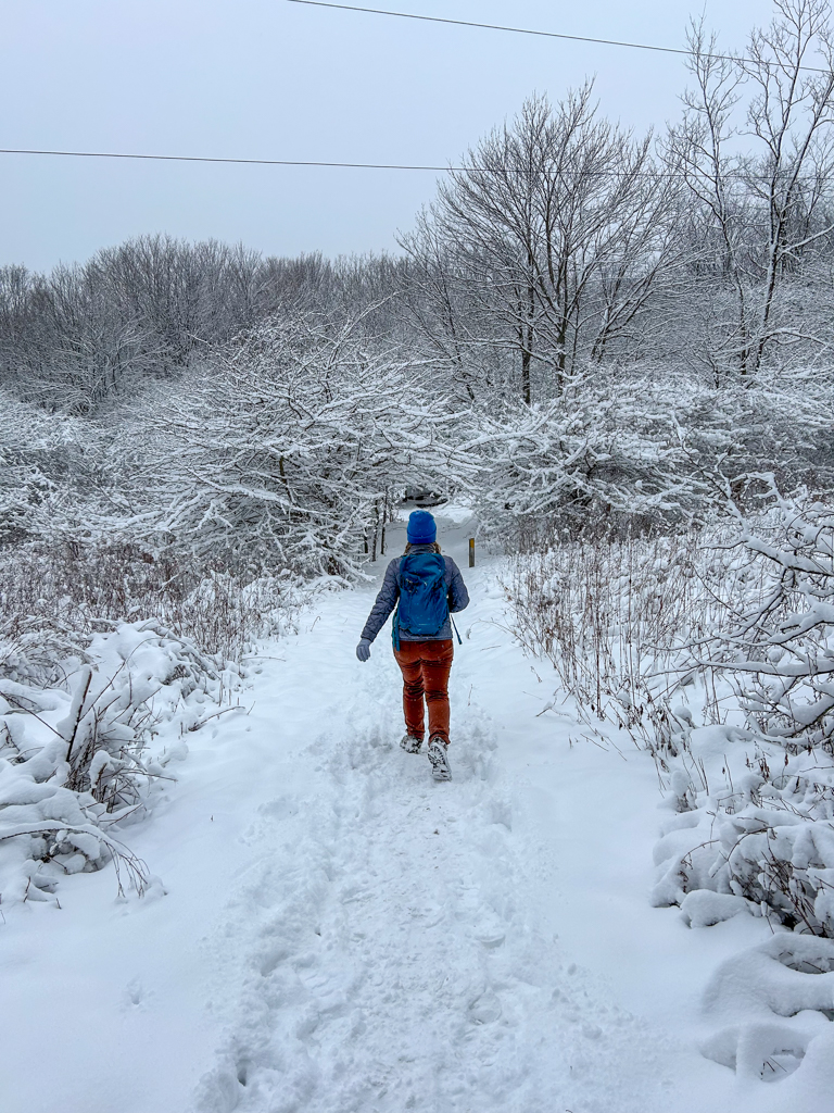
We had a snowy first day hike on the Laurel Highlands Hiking trail! Despite how many times I’ve been hiking in the LH region, this is actually my first time on the 70 miles LHHT. While this short section didn’t have any major views or points of interest, it was incredibly peaceful walking through woods blanketed in fresh snow. After our group hike, we moseyed out to Forbes Trail Brewing in Stoystown for some delicious brews in a cozy taproom.
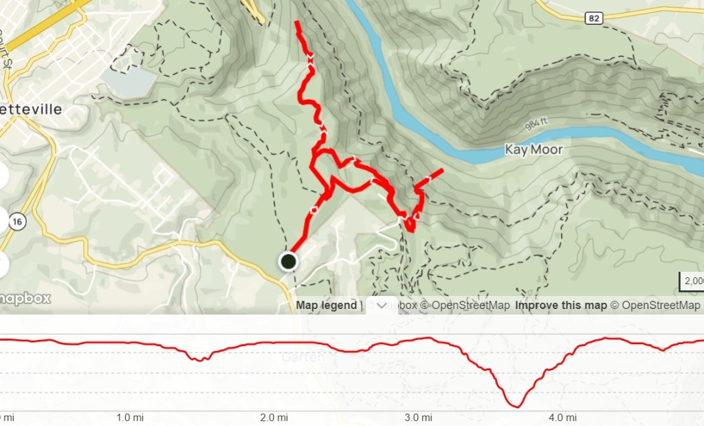
THE HIKE: Laurel Highlands Hiking Trail (31-29)

Length: 4 miles
Elevation Gain: 600 ft
Difficulty: Moderate
Time: 2 hours (due to snow)
Trail use: Foot traffic only
Parking: Space for about 30 cars at the Route 31 parking area. No facilities
Find the Parking lot: 40.06082620624829, -79.27375174542976. Turn right off Route 31 onto Fire Tower route, there will be a sign for Forbes State Forest and Laurel Ridge State Park. The parking lot will be on the left just under a mile down the road. Be aware that this road is unpaved and likely won’t be maintained in the winter.


Laurel Highlands Hiking Trail
The Laurel Highlands Hiking Trail (LHHT) is a 70.3 mile backpacking trail in western pa that stretches from Ohiopyle to Seward. This trail is known for its incredible beauty but also its challenging and rugged terrain. If you’re considering a thru hike, be sure to check out Tory’s awesome guide at Mytrailsaremany.com. However, this is also a fantastic trail for section day hikes too! There are many trailheads and access points along the 70 miles to pop on for a few miles.
The LHHT is maintained by the PA DCNR and the majority of the trail runs through Laurel Ridge State Park. If you’re looking for a full map of the trail, check out the PA DCNR website.


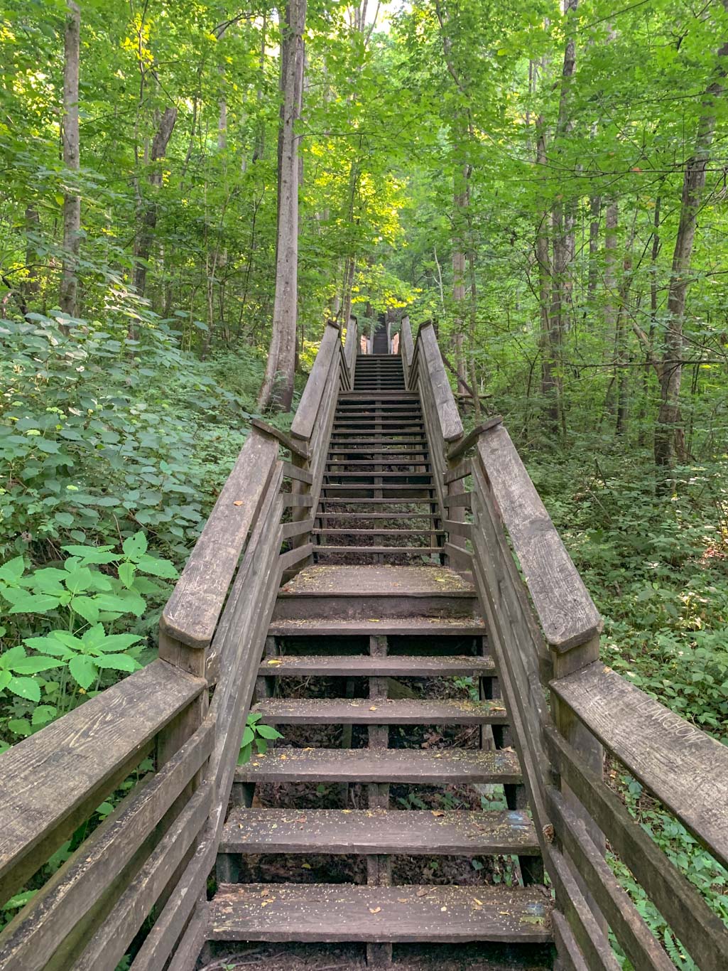
The Hike
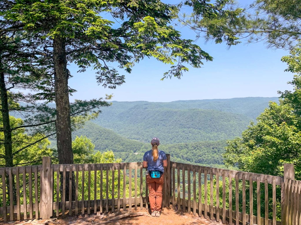
For this group first day, we met at the Route 31 parking lot for the LHHT. Interestingly, this was also near mile 31 of the trail! There were at least 50 people on this delightful hike led by Kim, an educator at Laurel Ridge SP.
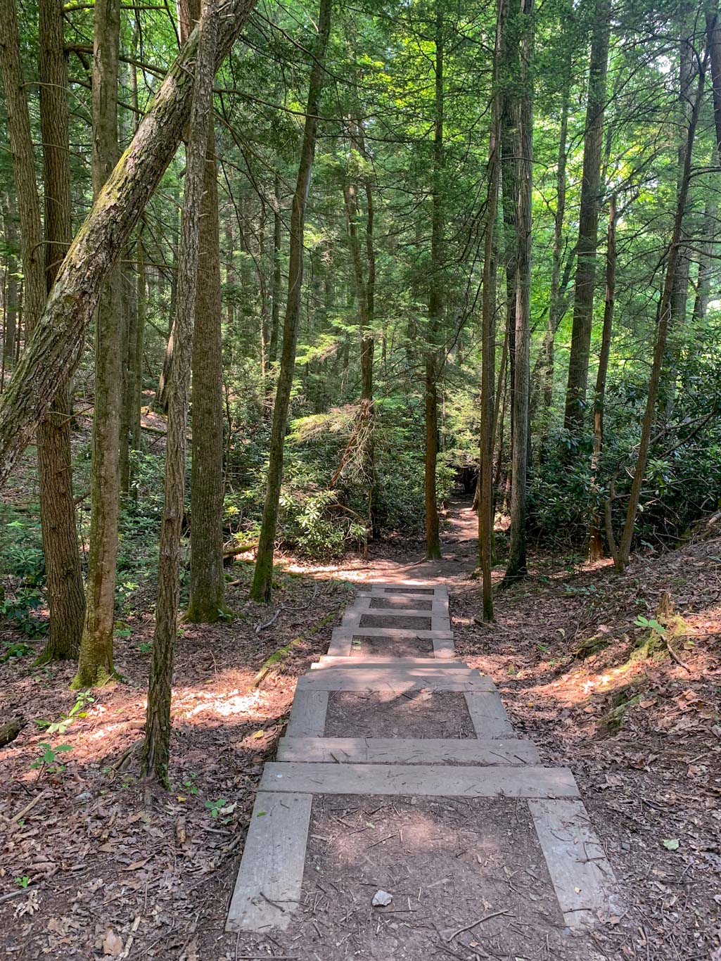
Especially in the winter, it can be easy to lose your way on trails. Be sure to look for the yellow blazes on the trees. This trail also has a stone mile marker every mile so you’ll always know how far you’ve gone! Many sections of the LHHT, including this one, cross over roads from large ones to wooded access roads. Always look for a band of yellow on the trees that indicates a road crossing!
Remember, the LHHT is point to point trail so make sure you have a game plan of when to turn around and head back to your car!
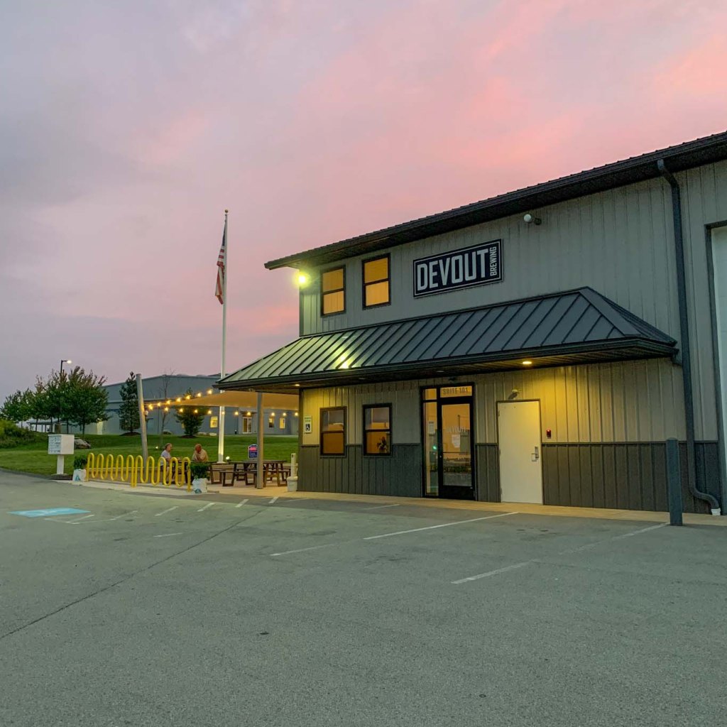
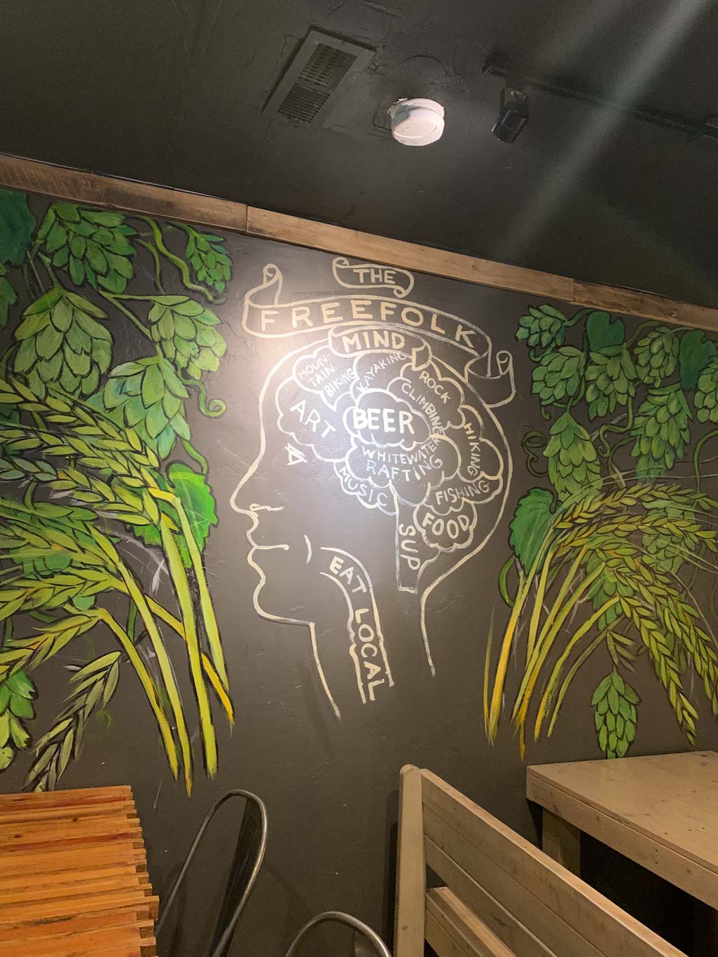
THE BEER: Forbes Trail Brewing
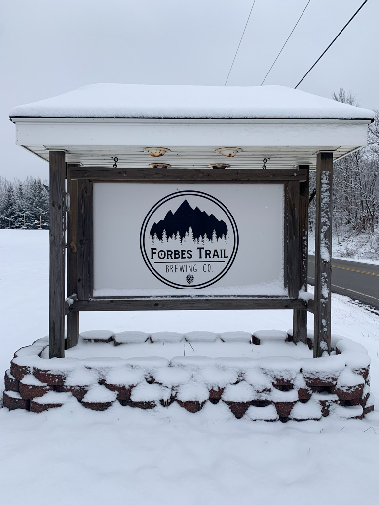
Address: 6108 Lincoln Hwy, Stoystown, PA 15563
Distance from Trail Head: 36 mins, 25 miles
Website: http://www.forbestrailbrewing.com/
Food?: Food truck & BYOF
Details: Outdoor seating, pets outside
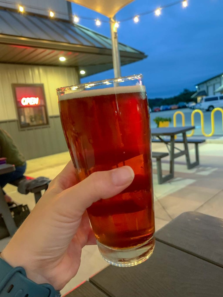
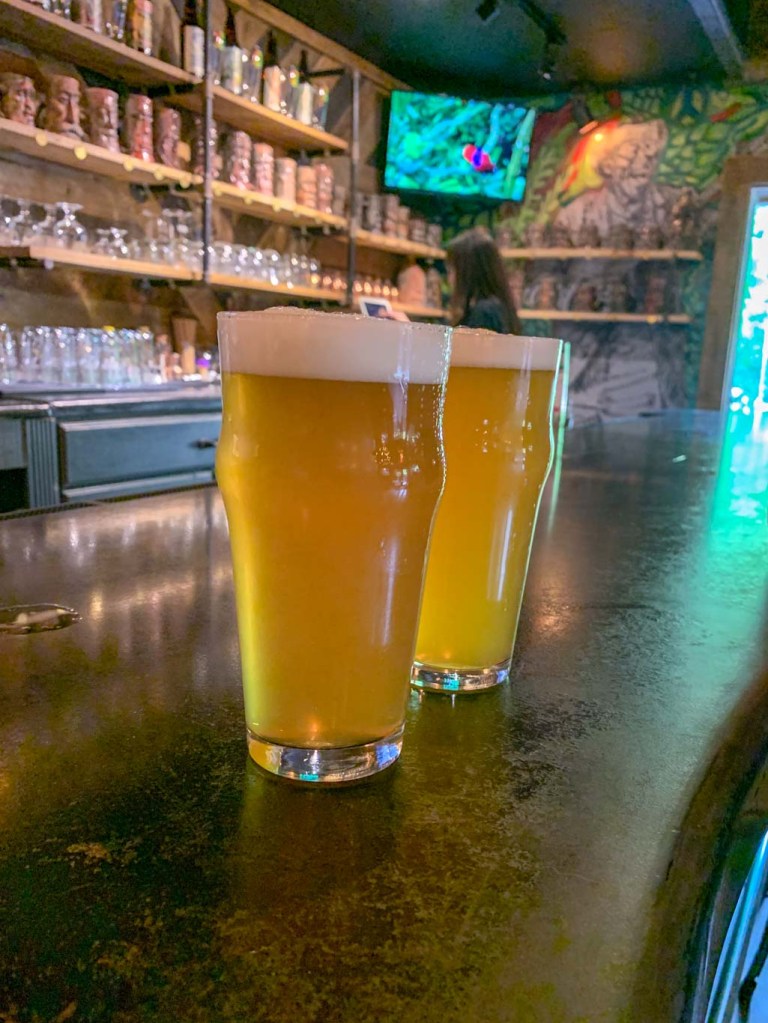
Forbes Trail Brewing opened on Lincoln Highway less than a mile from the Flight 93 memorial in 2022. One of the owners had been homebrewing for nearly a decade then working professionally as a brewer, before his dream of opening a taproom became a reality! Along with his wife and former homebrew supporters turned business partners, Forbes Trail Brewing has quickly become a staple in the Laurel Highlands region. Although it was cold and snowy when we visited, I was impressed with the huge outdoor space complete with firepits that complemented the cozy indoor taproom. We popped at a seat at the bar and instantly felt like part of a family as the owners and other drinkers looped us right into their conversation. Although it’s a bit of a drive from the Burgh I cannot recommend this brewery enough and I know we will definitely be back!

A fun history fact: the brewery’s name refers to the early road that linked forts Duquesne, Ligonier, and Bedford during the French and Indian War. This road was pioneered by British General John Forbes and eventually became the Lincoln Highway (Route 30).
Our Beer:
- Taste the Rainbow – Sour – 5%
- Haze Lawdy Mama – NEIPA – 6.5%
- Edmunds Swamp: Peppermint – Oatmeal Stout – 5%
- Trail Rider Pale Ale – Pale Ale – 6%
Loving the Laurel Highlands craft beverages? Be sure to get a Pour Tour Passport from the GO Laurel Highlands!
Looking for more hikes & hops in the Laurel Highlands? Check out Wolf Rocks & Helltown, Ohiopyle & Yough River , Duff Park & Devout, Powdermill Nature Reserve & Four Seasons, and Linn Run & Unity Brewing .