Fayetteville, WV

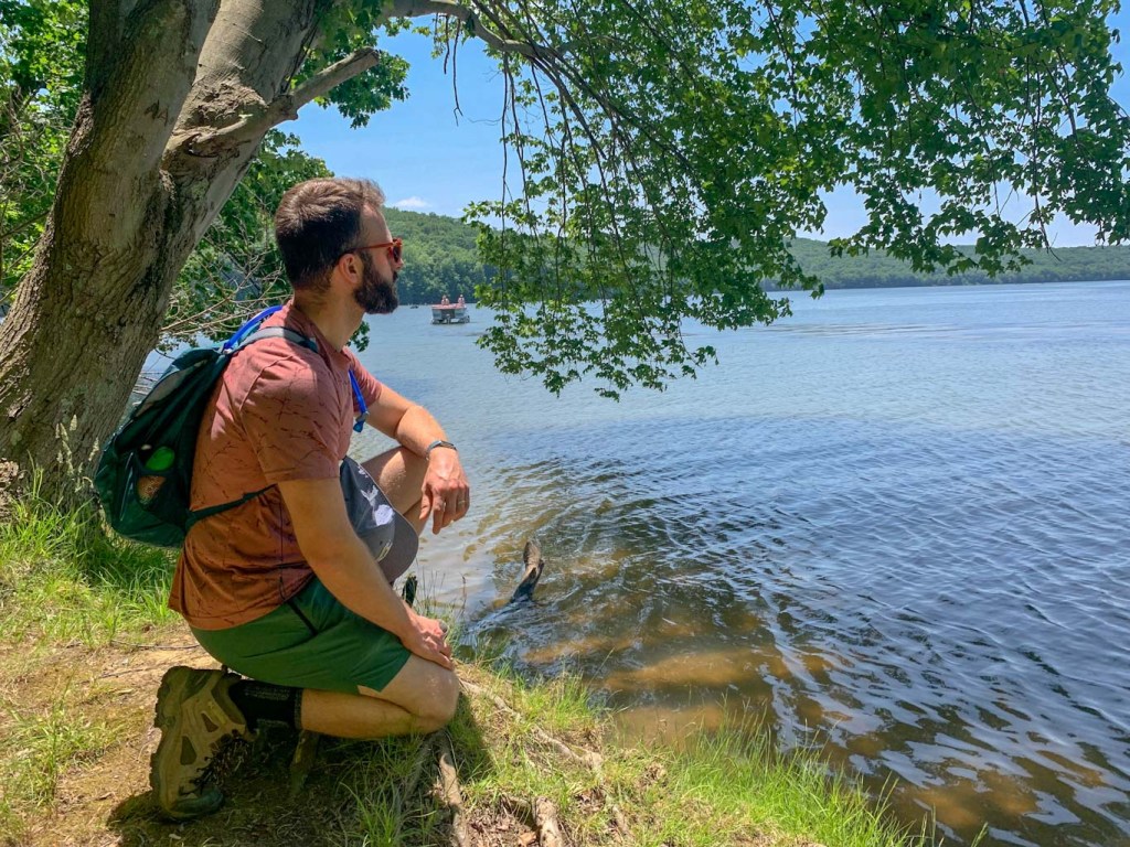
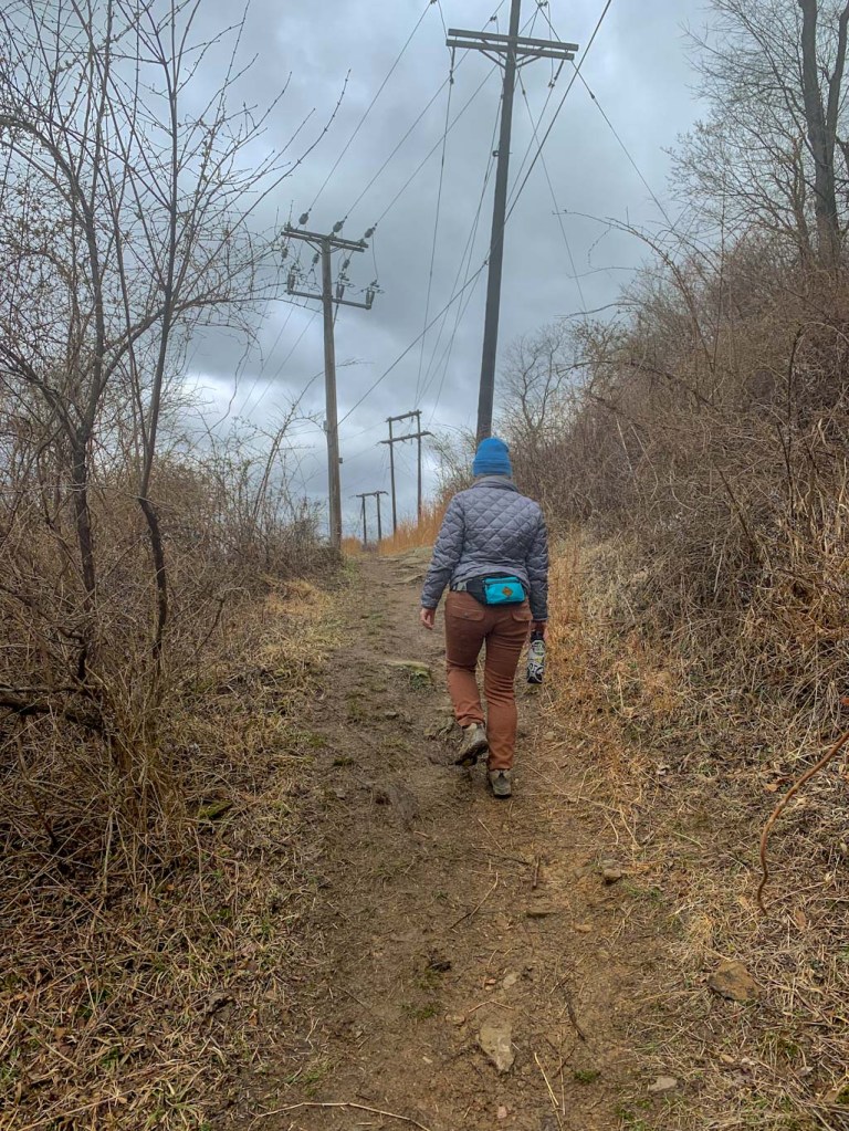
So excited to finally share the first of many Hikes & Hops guides to New River Gorge! First up is the stunning Endless Wall which is an easy loop not far from the park’s main visitor center. This trail is so full of stunning overlooks that you won’t want to put down your camera. The trail is one of the best places to get a photo of the Gorge. Keep in mind that this is a very popular hike and you’ll want to get there early to get a parking spot. After a day exploring the park, head over to Freefolk Brewery which has a delicious lineup of beer, a full menu, large indoor and outdoor space, and frequently has live music. What more could you want?
THE HIKE: New River Gorge NP: Endless Wall Trail
Length: 2.9 miles
Elevation Gain: 400ft
Difficulty: Easy to Moderate
Time: 1-1.5 hours
Trail use: Hiking, leashed pets
Parking: Small lot that fills up quickly, pit toilets
H&H: 5/5
New River Gorge is the nation’s newest national park and it’s only about 3.5 hours away from downtown Pittsburgh. It’s a great weekend trip from Ohio, Western PA, and Virginia. Or make it a stop on a road trip to other Eastern national parks, like the Great Smoky Mountains (TN/NC), Shenandoah (VA), or even Congaree (SC)! New River Gorge is a sprawling park that encompasses over 70,000 acres of land along a 53-mile stretch of the New River in West Virginia. The main visitors center (along with the iconic bridge spanning the gorge) can be found in Fayetteville, WV which is a haven for outdoor lovers. Although only designated as a national park in 2021, this area has been protected by federal law since 1978. For many years, it has been a destination spot for outdoor lovers, especially those seeking the thrill of white water rafting or rock climbing. There’s even one day a year where the bridge is closed to traffic and daredevils are allowed to BASE jump into the gorge!

The most popular area of New River Gorge is the area surrounding the main visitor center, Canyon Rim. This is a great place to start your visit. You can see views of the bridge, get acquainted with the map, chat with the rangers, and, of course, stamp your national park passport! From there, the Endless Wall trailhead parking lot (called Fern Creek parking) is just a quick 5 minute drive (1.9). However, this is a very popular spot for hiking, so be prepared to share the trail and the parking lot! If you can, try to arrive early to avoid the crowds. There is parking for about 20-25 cars in the main lot and be aware that you cannot park along the road, even if you see people doing it! If the first lot is full, just head down the road about 0.5 mile and there’s another, larger parking lot. It appears on Google Maps as Nuttall Parking lot. You can start the trail at either lot, just know that you’ll need to do some road walking to complete the loop. Thankfully, the shoulder is very wide and the road isn’t busy. You could also just turn around and do the trail in the opposite direction if road walking doesn’t appeal to you!

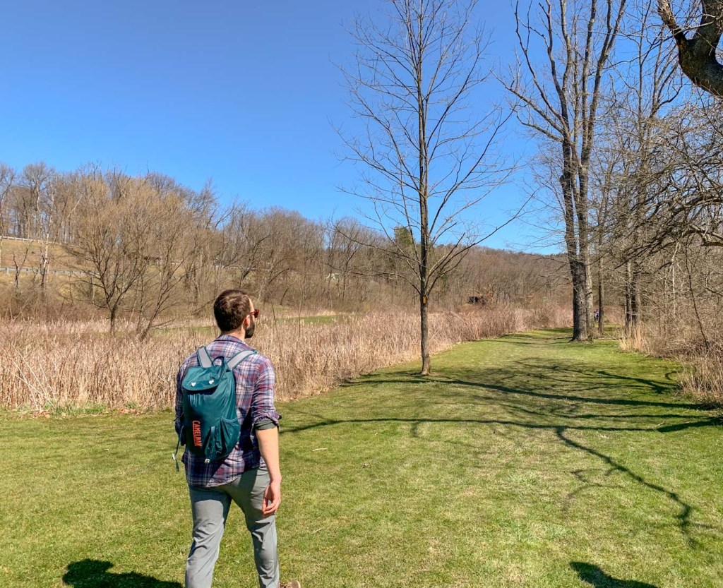
This is an easy to moderate hike that is good for people of all ages. There’s moderate elevation change (~500ft) but it comes gradually. Expect to encounter some minor obstacles on the trail like roots and rocks but there’s no scrambling. Best to leave the stroller in the car though! All the trails in New River Gorge allow leashed pets.
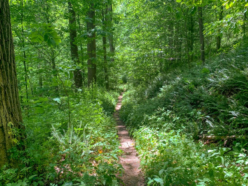
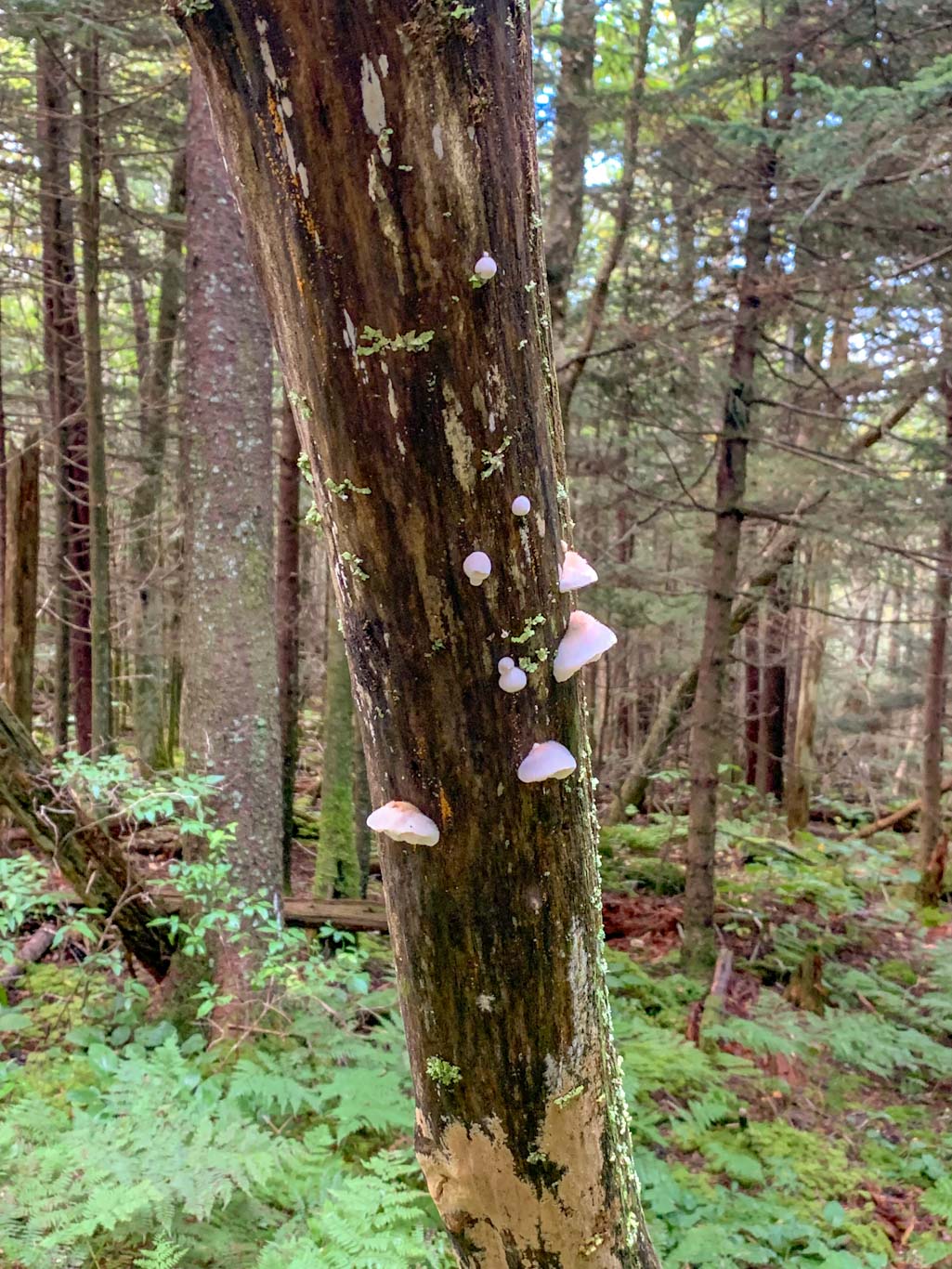
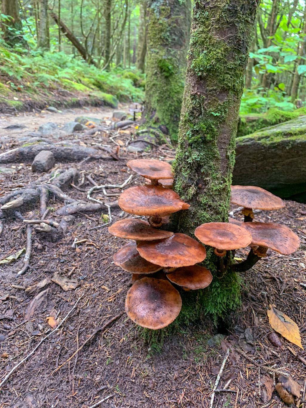
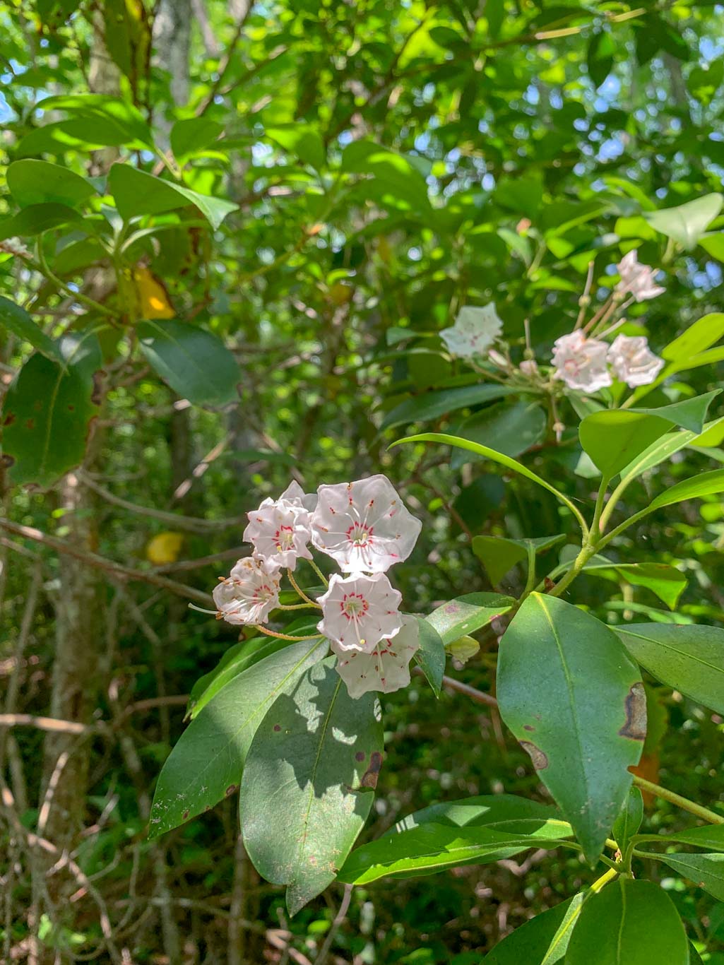
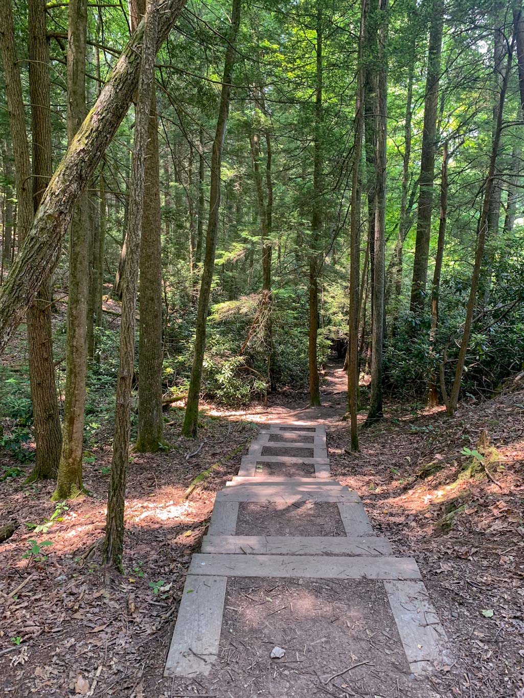
The beginning of the trail leads through dense forests of hemlocks and rhododendrons and mountain laurels which are stunning in the spring. We just missed mountain laurel season, but managed to see a few late bloomers. After a bit, you’ll cross a small bridge to pass over Fern Creek. From here you’ll meet up with the rim of the gorge. The trail is peppered with rocky outcroppings that offer beautiful views of the surrounding area. Even though this trail is popular, it’s likely that you’ll still find a small place to yourself to enjoy the views. If starting at the Fern Creek parking lot, the main overlook is the last one you’ll encounter. There’s a large rocky outcropping where you can see both up and down the river (not quite to the bridge though). Make sure to really take your time here, it’s a spectacular spot! This is a good place to turn around if wanting to head back to the Fern Creek parking lot via the trail or you can continue on for a bit longer to the Nuttall lot and then walk along the road back to your car. The one advantage of completing this as a loop is not going against the crowd back to the parking lot.
Endless Wall is just the first of many awesome hikes that we did in this area so stay tuned!
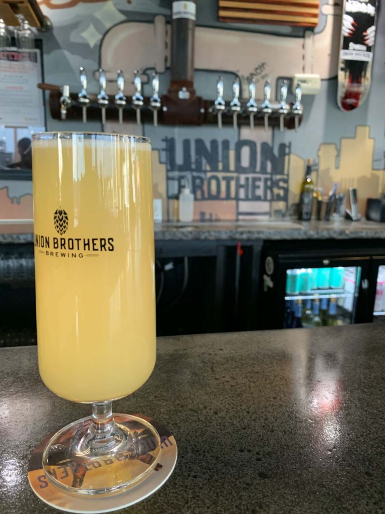
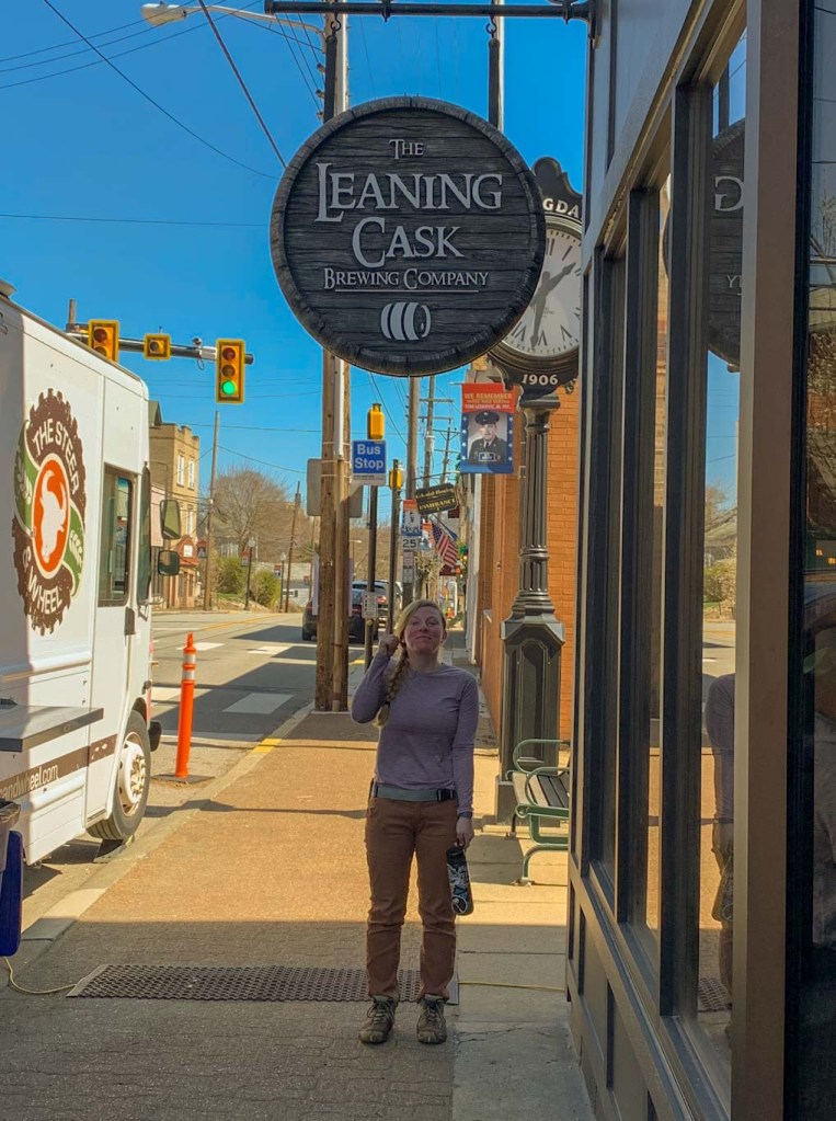
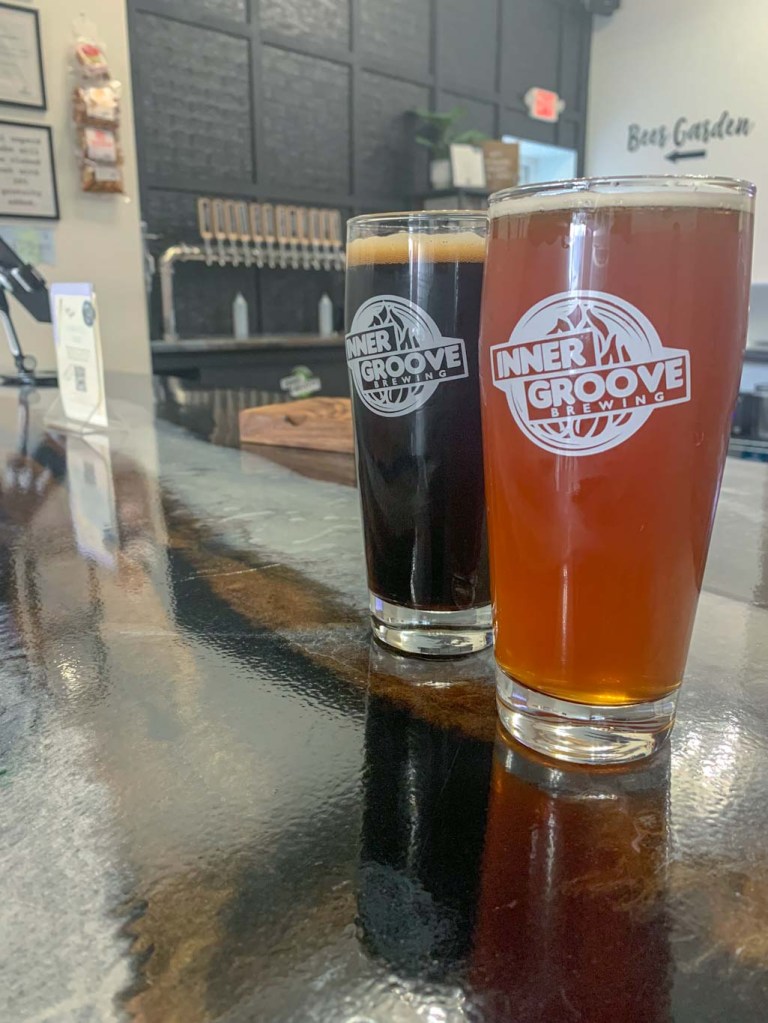
THE BEER: Freefolk Brewery
Address: 1690 Court St, Fayetteville, WV 25840
Distance from Trail Head: 5 miles, 9 mins
Website: http://www.freefolkbrew.com/
Food?: Full Menu
Details: Outdoor seating, dog friendly outside
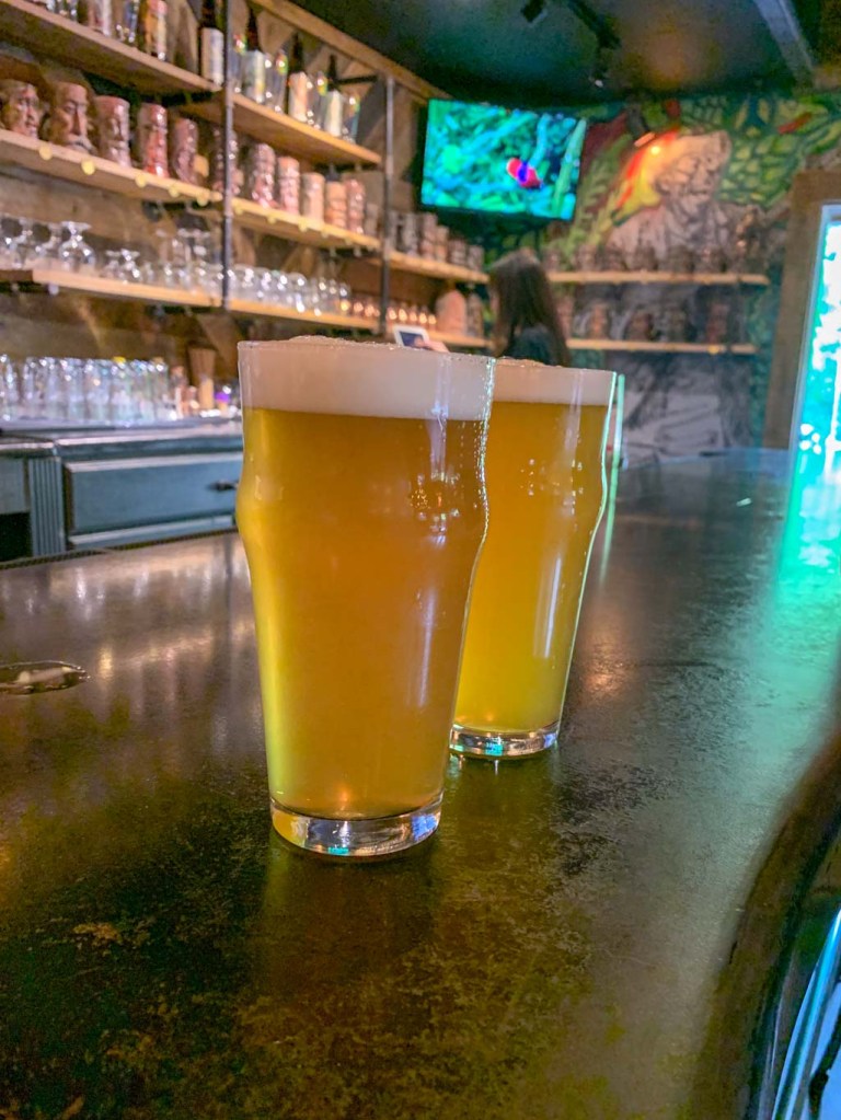
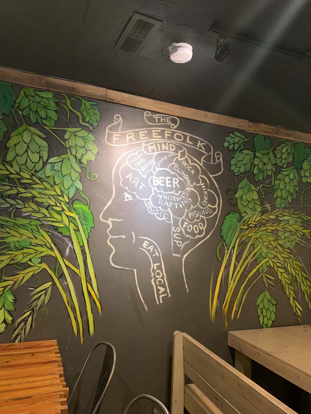
Freefolk is an awesome brewery in Fayetteville, WV less than 10 minutes from the Canyon Rim Visitors Center. They’ve got a large space with indoor and outdoor seating, with stages for live music in both. In addition to a large taplist, they have a small kitchen menu with filling pub treats like gyros and pepperoni rolls. We particularly liked their outdoor space, which seemed like a great place to bring your family and/or pets. The vibe is very laid back and after a long day of hiking, it was honestly hard to get ourselves to leave! Also make sure to check out the wall art around the building, it’s pretty rad. If checking out this brewery, just be aware that the parking lot is across the street!
In addition to the Fayetteville location, Freefolk also opened a larger brewhouse about 12 miles north in Hico, which also has a taproom, although no kitchen here. Some fun stuff about Freefolk: they have a mug club where you get your own handcrafted ceramic Folk stein with a whimsy face on it! I was very tempted….


Our Beer:
- Orange Oswald – IPA – 5.2%
- Berry the Hatchet – Wheat Beer – 4.5%
- Brewing Judo – NEIPA – 6.7%
- Gorgeous 876 – Pale Ale – 5.4%

Looking for more Hikes & Hops in New River Gorge? Check out Grandview Rim & Weathered Ground Brewing and Long Point & Bridge Brew Works.