Murrysville, PA

Despite having driven down Route 22 many times, I never knew a beautiful park was tucked in the woods just off this major road. Duff Park is a peaceful natural area with bike trails along a stream and single track trails meandering through the woods. It’s a designated plant sanctuary and the fall wildflowers are beautiful right now! After a walk through the woods, check out Devout Brewing just up the road. They have a delicious Marzen on right now and a sweet potato beer coming soon!
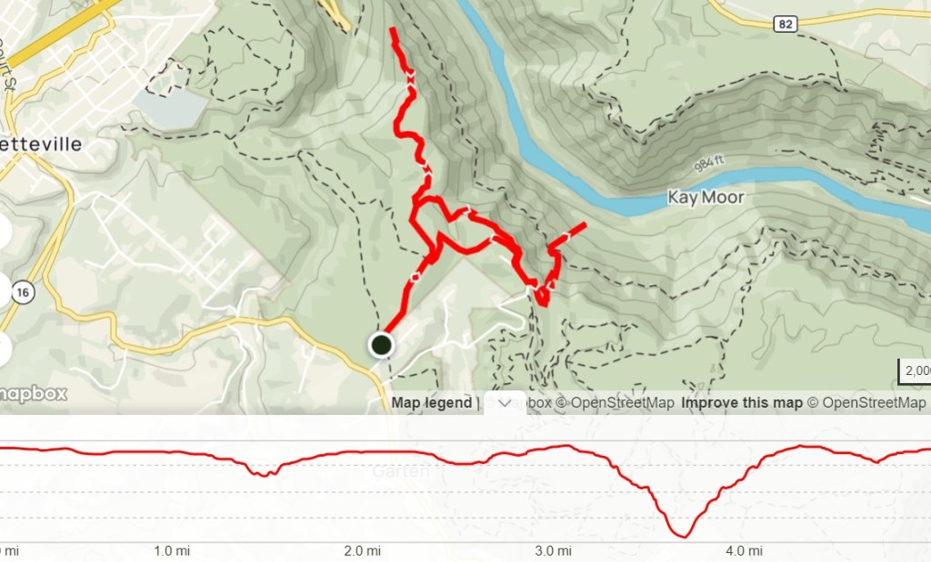
THE HIKE: Duff Park Outer Loop

Length: 3.4 miles
Elevation Gain: 525 ft
Difficulty: Moderate
Time: 1.5 hours
Trail use: Hiking, Running, some sections open to bikes
Parking: Large lot off School Rd
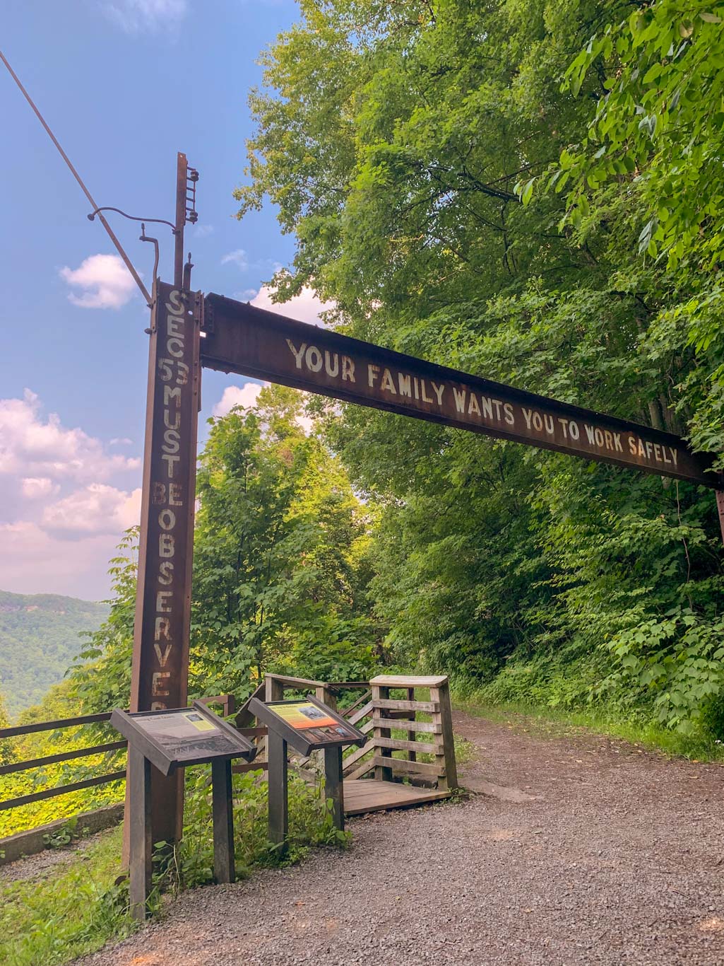
Duff Park is a 220 acre wooded park east of Pittsburgh and is located just off Route 22. It is owned and managed by the Municipality of Murrysville with help from the volunteers at Murrysville Trail Alliance and the Friends of Murrysville Parks.

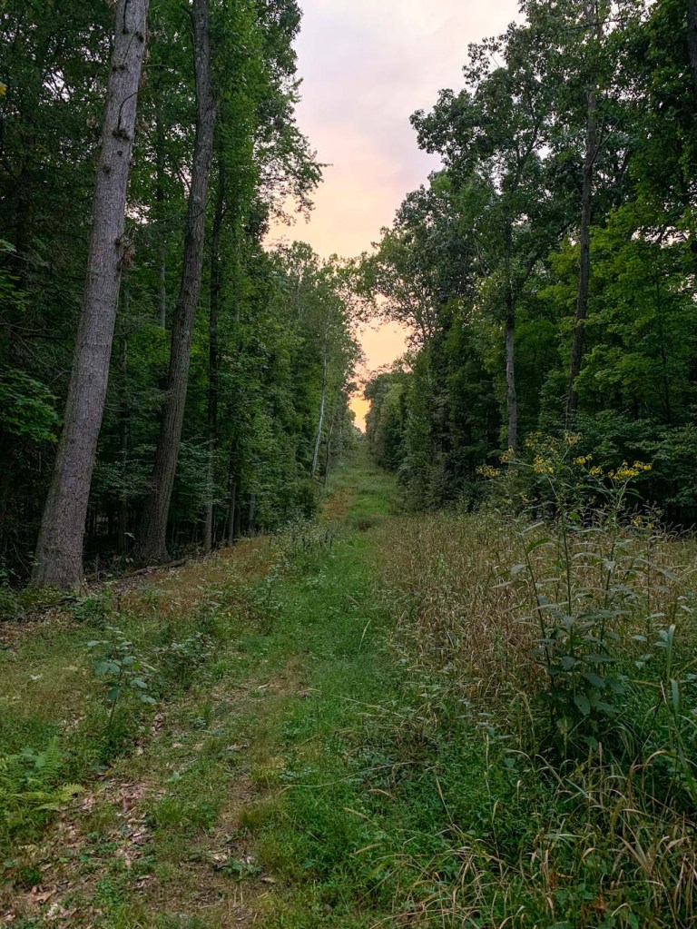
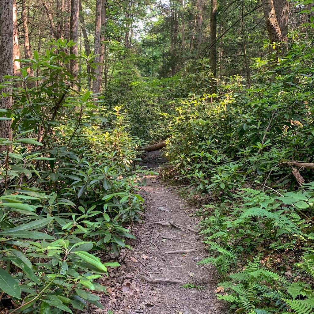
The park includes 1.5 miles of flat bike trail along Turtle Creek. There is also a bridge connecting this trail to the large Westmoreland Heritage Trail, so this is a great place for biking, running, and for those with limited mobility. The rest of the park features hilly single track trails that meander up the hillside. There are about 7.5 miles of trails in the woods, so there’s plenty of space to get a nice long hike in! Duff park is also connected by a trail to Pleasant Valley Park. I haven’t been to Pleasant Valley Park but from what I’ve read, it’s very peaceful but a bit more remote feeling than Duff Park. I’ll have to check it out for myself though!
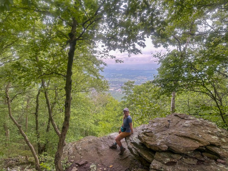
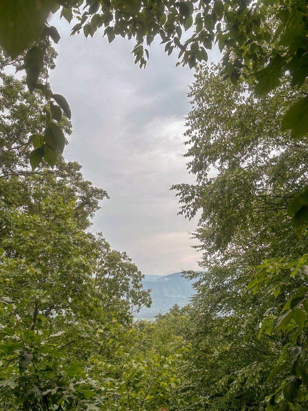
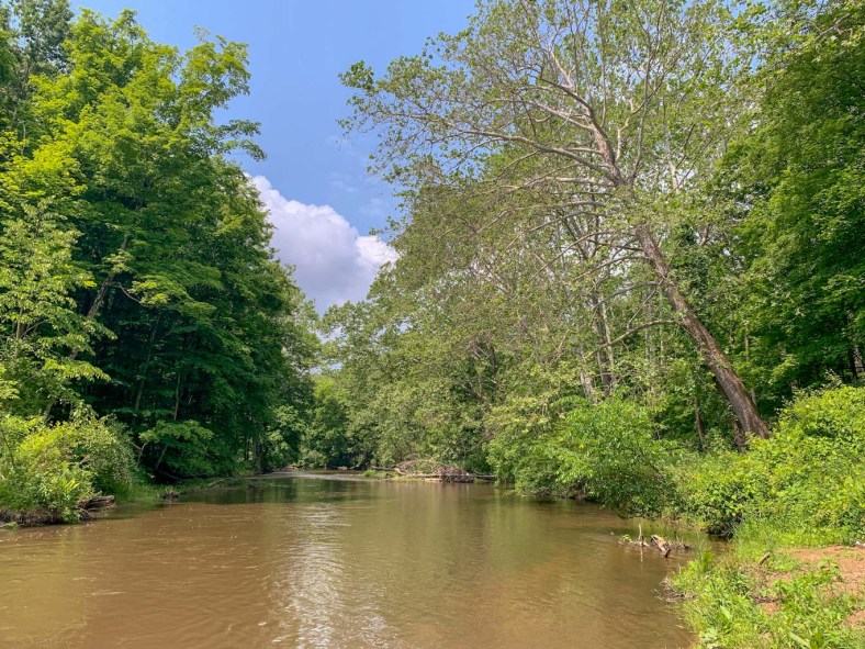
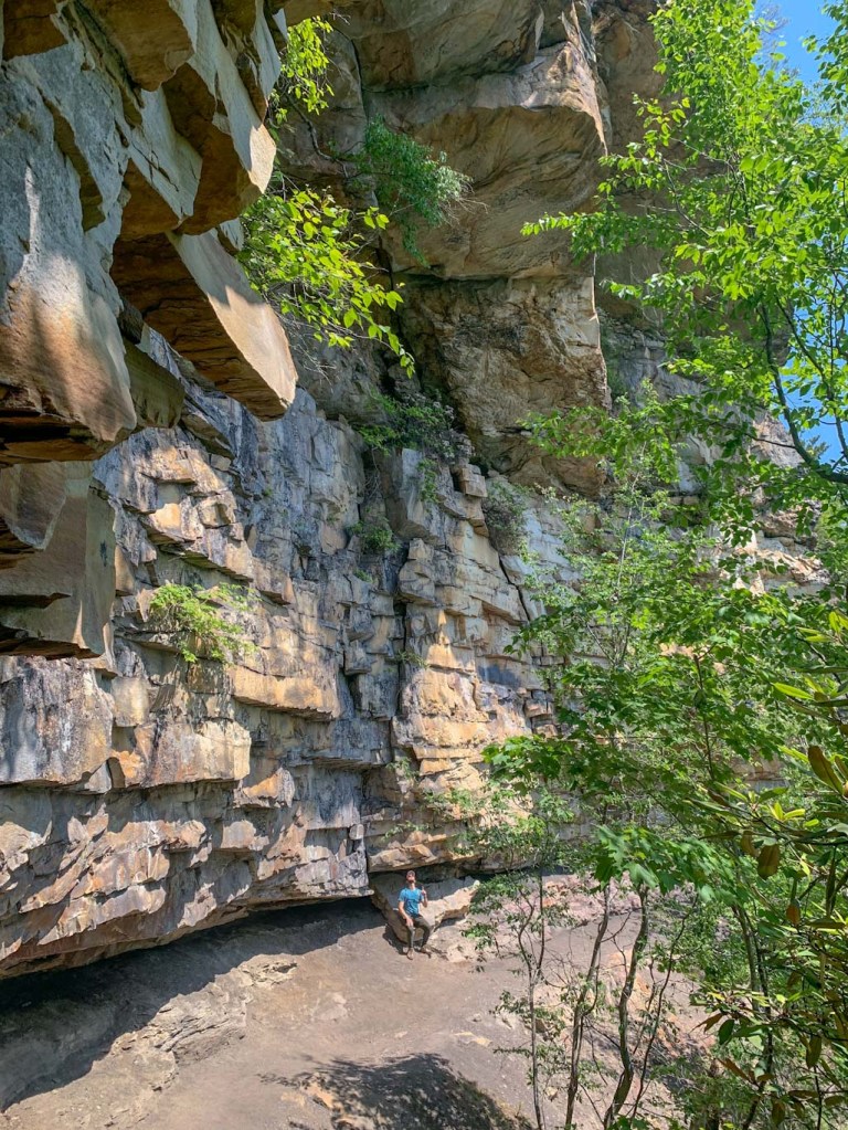
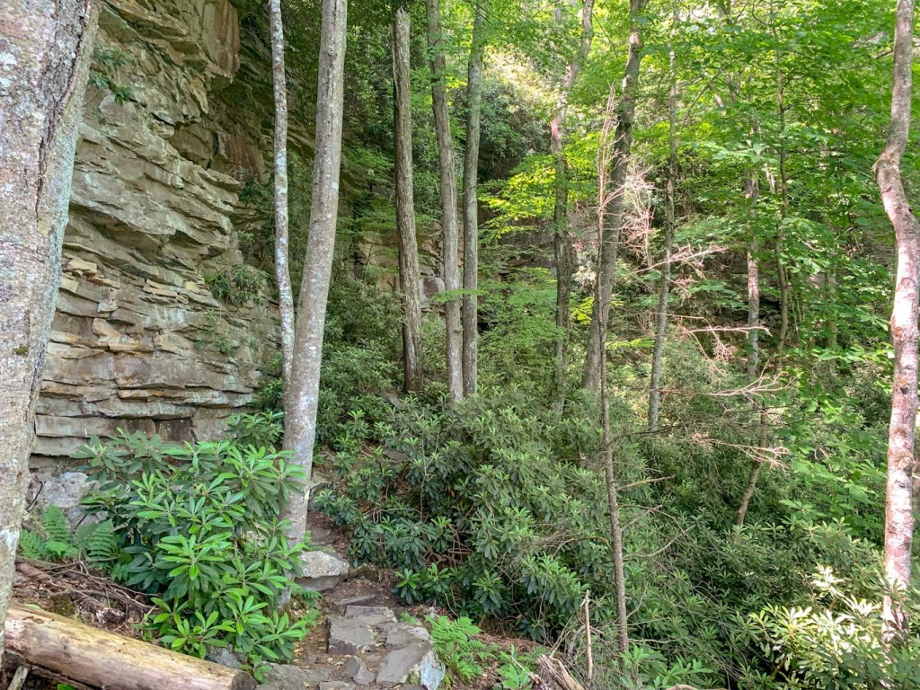
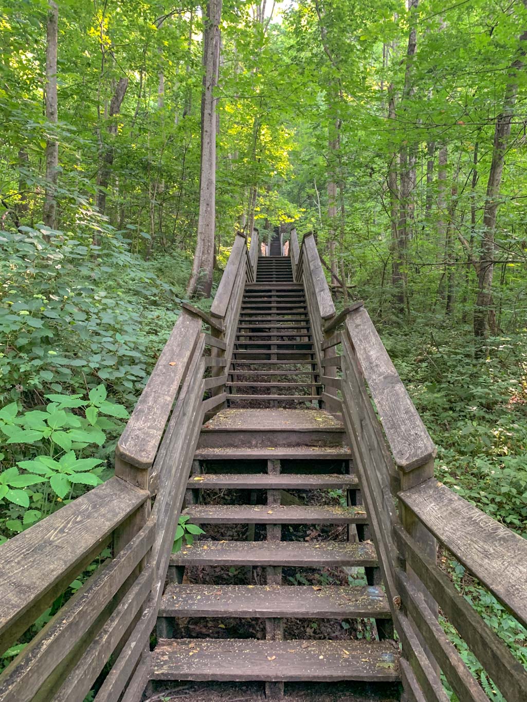
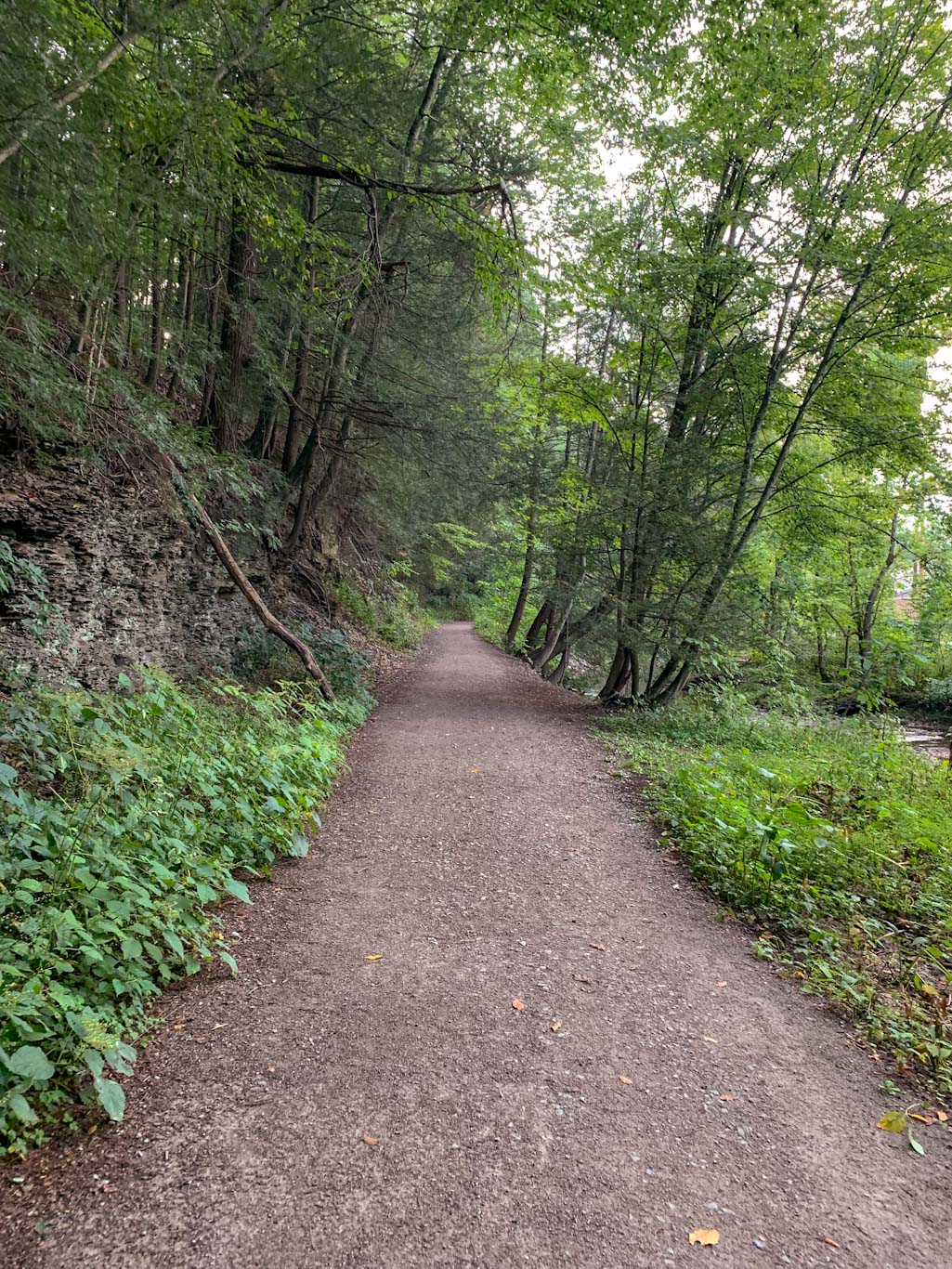
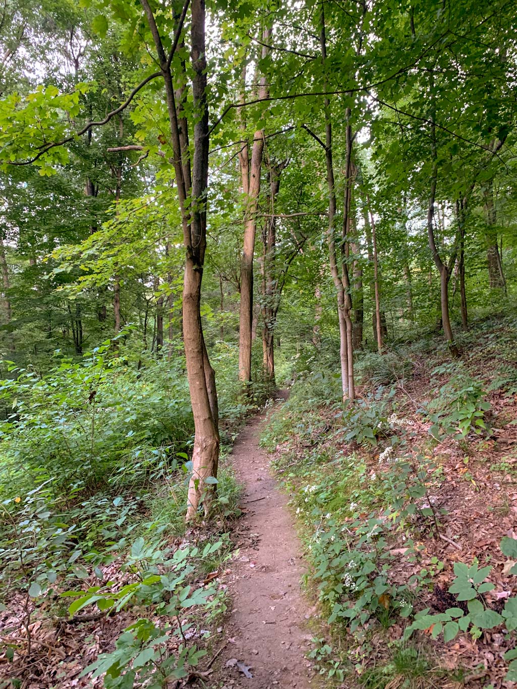
We visited Duff Park on a Friday after work as part of the Oboz Trail Experience to do this 3.4 loop. I was blown away by how beautiful the place was despite being so close to a major road. Of course, this does mean that the road noises can be quite loud. But frankly, they faded to the background for me as we hiked along Turtle Creek, admiring the clear water and reading the signs identifying the trees along the way. This part of the trail was flat and very easy to follow. Eventually the outer loop leaves the Funk Bikeway trail to switchback up the hillside on the Forbes trail. This was definitely a section that got our hearts pounding! The trail continues to be moderate difficulty as you turn onto the Sumac trail. We hardly saw anyone else on these sections and being further away from the traffic noises really made for a peaceful hike. The trails were all very clearly labeled and we had no problem eventually completing the loop and finding ourselves back at the parking lot.


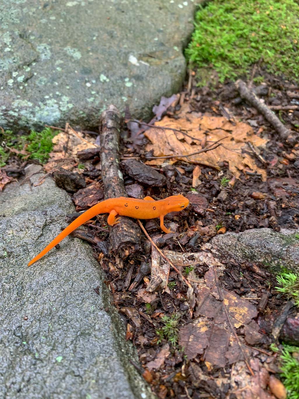
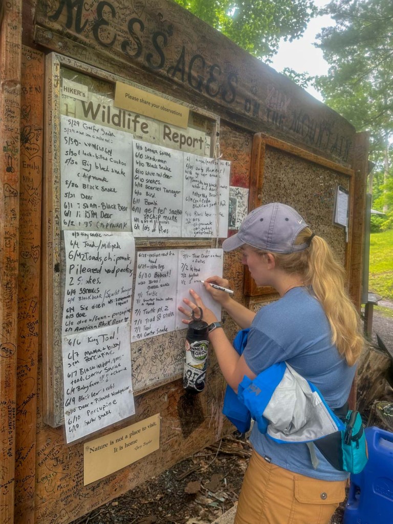
I would definitely visit this park again! It does seem to be pretty popular so parking could be an issue on the weekends. There are port-a-potties in the parking lot and also picnic tables under the pavilion. I also really appreciated the large interpretive signs discussing the local flora and fauna. We will definitely have to visit in the spring as this park is a designated wild plant sanctuary! Perhaps it will be a new favorite place for spring wildflowers.
THE BEER: Devout Brewery
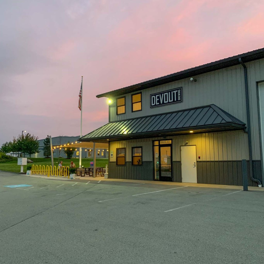
Address: 1301 Pontiac Ct #101, Export, PA 15632
Distance from Trail Head: 4.4 miles, 9 mins
Website: http://www.devoutbrewingco.com/
Food?: BYOF, Food Trucks
Details: Outdoor Seating, Pet Friendly
Devout Brewing has been pouring beers at their Export location since 2018. Nestled in the back of an industrial park, Devout feels like a hidden gem. With outdoor seating covered by a sunshade and a large indoor taproom, there’s plenty of space to relax here! When we visited, there was a surprisingly large selection, up to 16 taps! They also offer locally made cider, wine, and mead if that’s more your speed. While they don’t have a kitchen of their own, Devout frequently has a rotating food truck schedule or you can bring your own food! Your four legged friends are also welcome on the outdoor patio. We had such a good time at this brewery because it felt like having a beer with new friends! Everyone, customers and staff alike, were so friendly and eager to make conversation. It was an all around great place to spend a Saturday night.
I was pretty excited to check out Devout Brewing because I finally remembered to bring my Laurel Highlands Pour Tour booklet! Although I’ve been to several of the breweries listed, it was the first time I got an official stamp. Will this start a new obsession? Just wait and see!
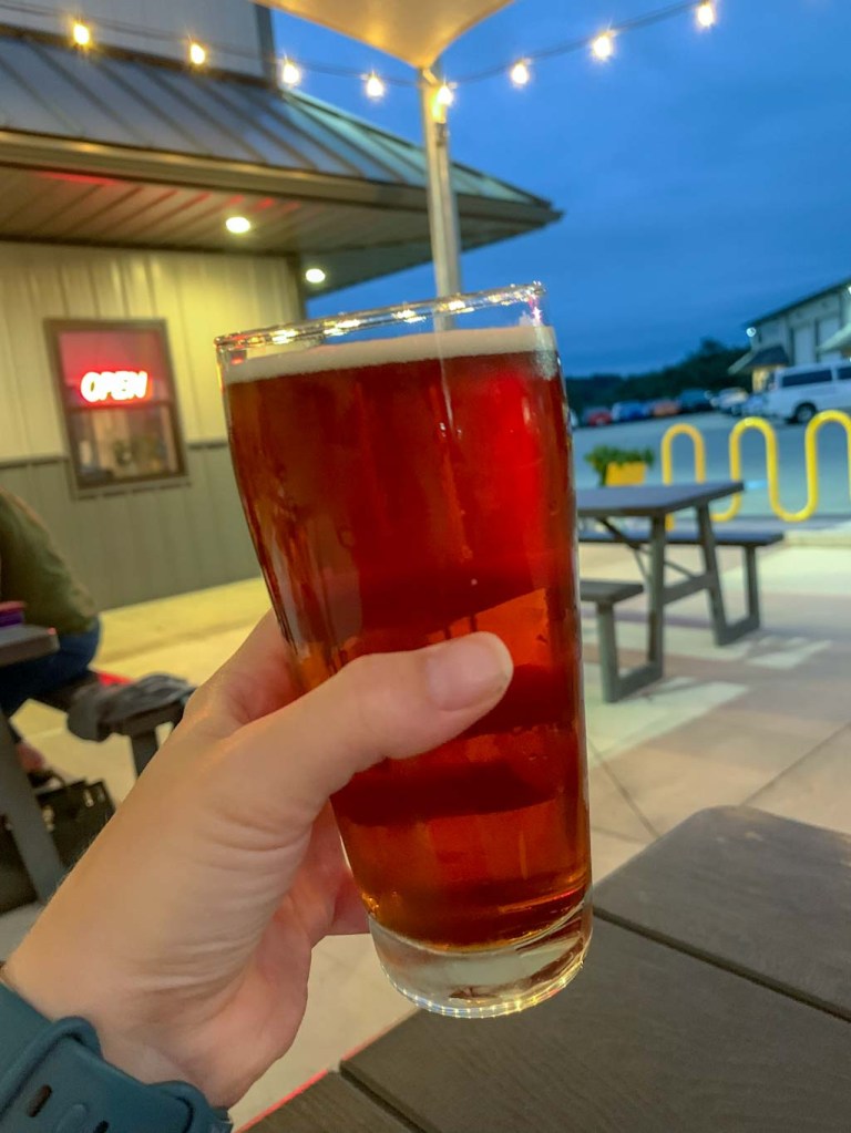
Our Beer:
- Son of Scurvy – Hazy IPA – 6.5%
- Hans Grubier – Oktoberfest – 5.6%
- Buzzin Blonde – Belgian Blonde with honey – 7%
- Pachyderm Porter – Porter – 4%
Looking for more Hikes & Hops East of Pittsburgh? Check out Powdermill Nature Reserve & Four Seasons Brewing, Wolf Rocks & Helltown Brewing, or Ohiopyle & Bloom Brew