Delmont, PA

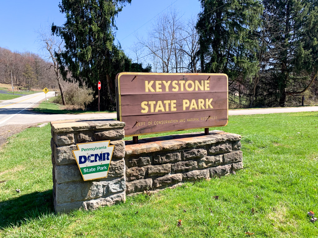
Looking for a day trip less than an hour from Pittsburgh? Look no further than Keystone State Park. This Laurel Highlands gem has a lake beach, hiking trails, kayak & SUP rentals, fishing, and more! You can even turn it into a weekend trip by renting a campsite or yurt. After a day at the lake, visit Yellow Bridge Brewing for a brew in the quaint taproom.

THE HIKE: Davis Run, McCune, and Lakeside Loop
Length: 5 miles
Elevation Gain: 393 ft
Difficulty: Easy
Time: 2 hours
Trail use: Hiking, leashed pets
Parking: large lot at beach
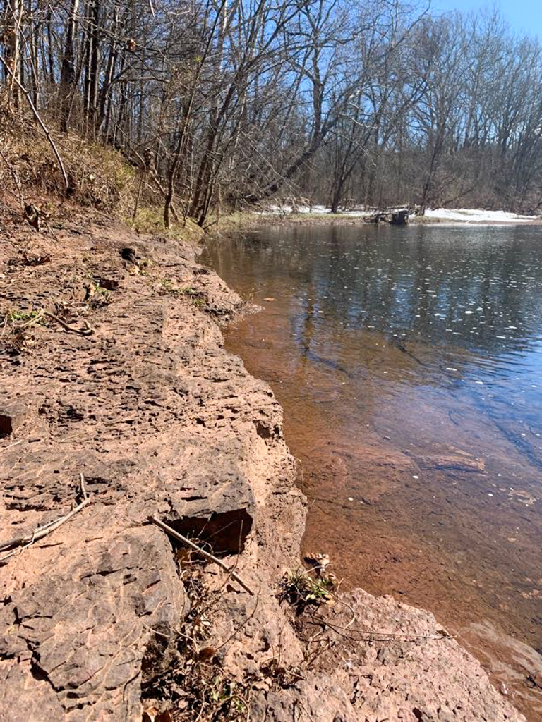
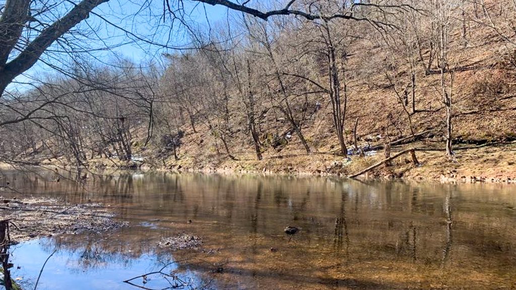
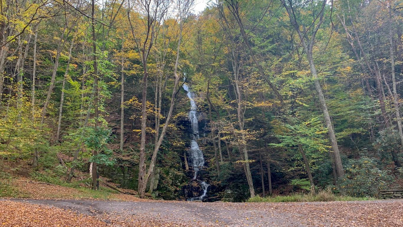
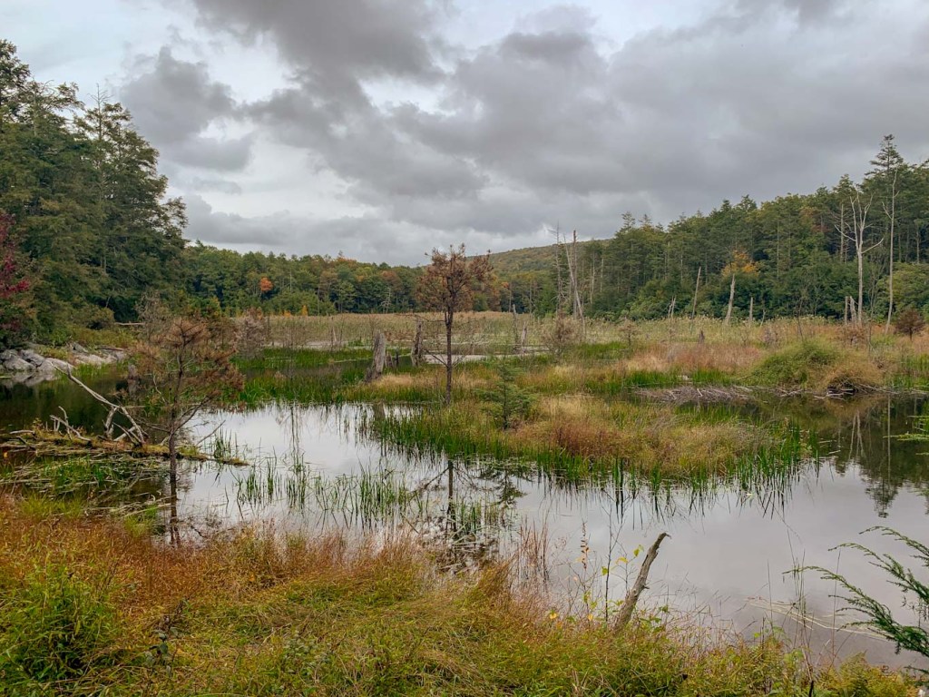
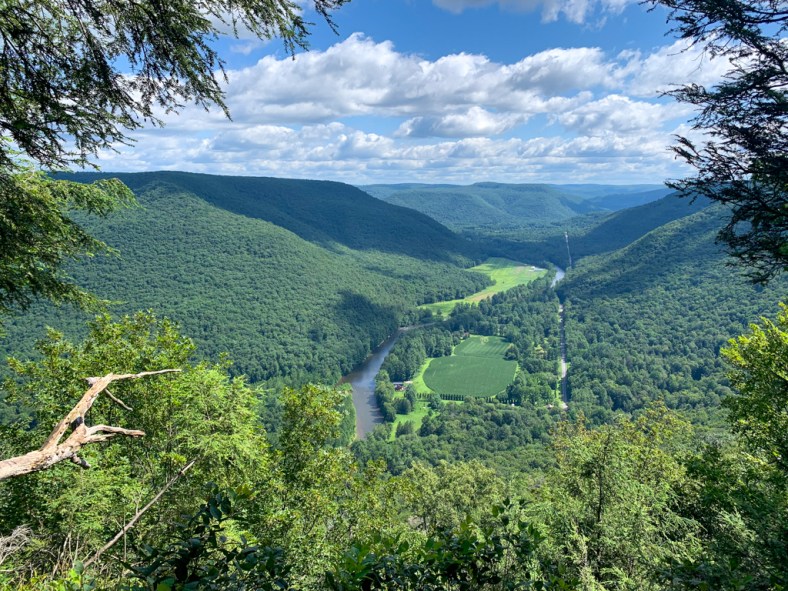
The 1,200 acre Keystone State Park is the perfect day trip or weekend destination. The centerpiece is the large Keystone Lake that’s open for various water activities, including swimming, fishing, and boating. There are also 8-miles of trail ranging from easy to more moderately difficult.

It’s hard to believe while enjoying the beauty of Keystone State Park, but the waters actually have their origins in the former bustling steel industry of southwestern PA. The Keystone Coal and Coke company dammed the meeting of the Davis and McCune runs to create a lake that would supply water to their coke ovens. In 1945, the Keystone Company sold the area to the state which sealed off the mines. Today the park is a beautiful spot for recreation.
Where to Park: There are several large parking lots at Keystone but not all of them are connected. For this hike, park at the Beach parking lot for access to the trailhead. If renting kayaks or only doing the Lake Loop, park at the lot off Slag Road. *As of July 2024, there is not access within the park from the beach to the boat launch. You must go outside of the park to access Slag Road.
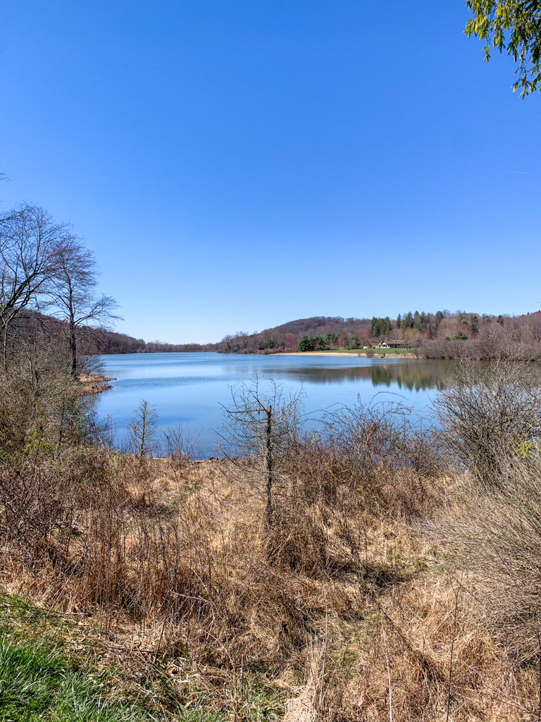
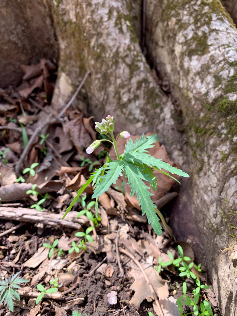
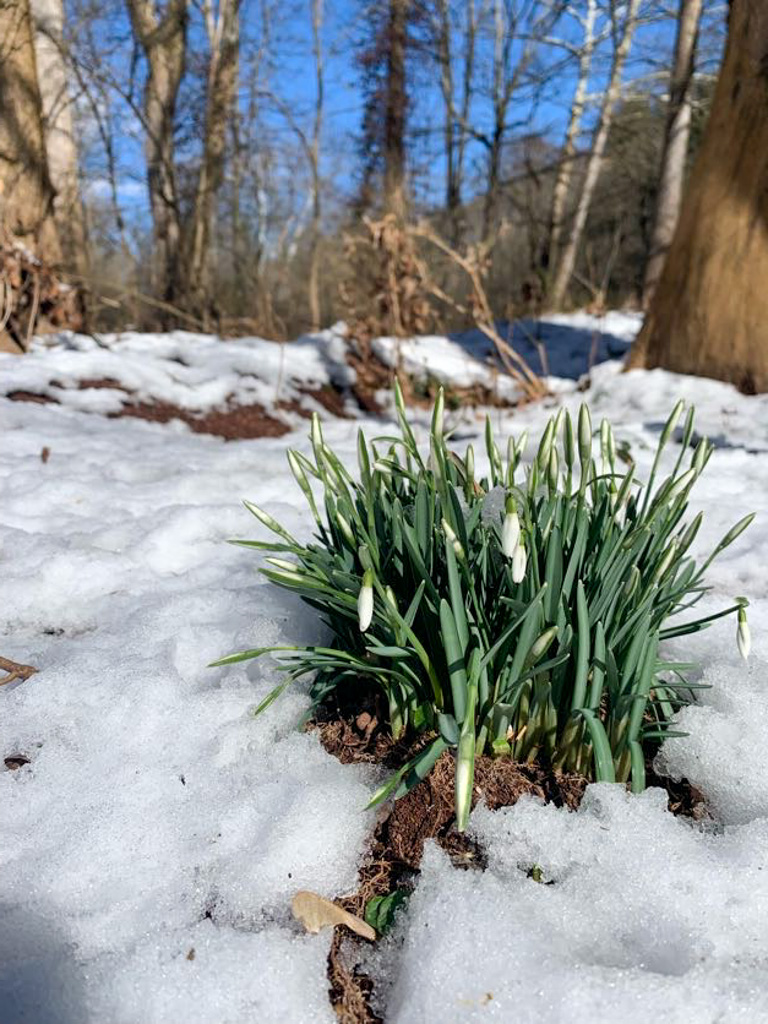
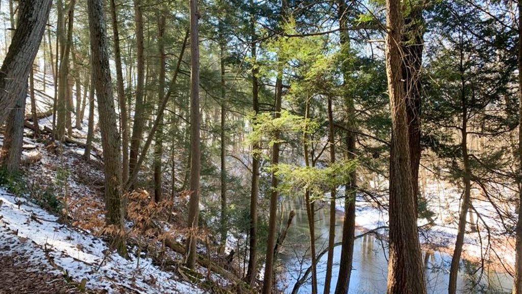
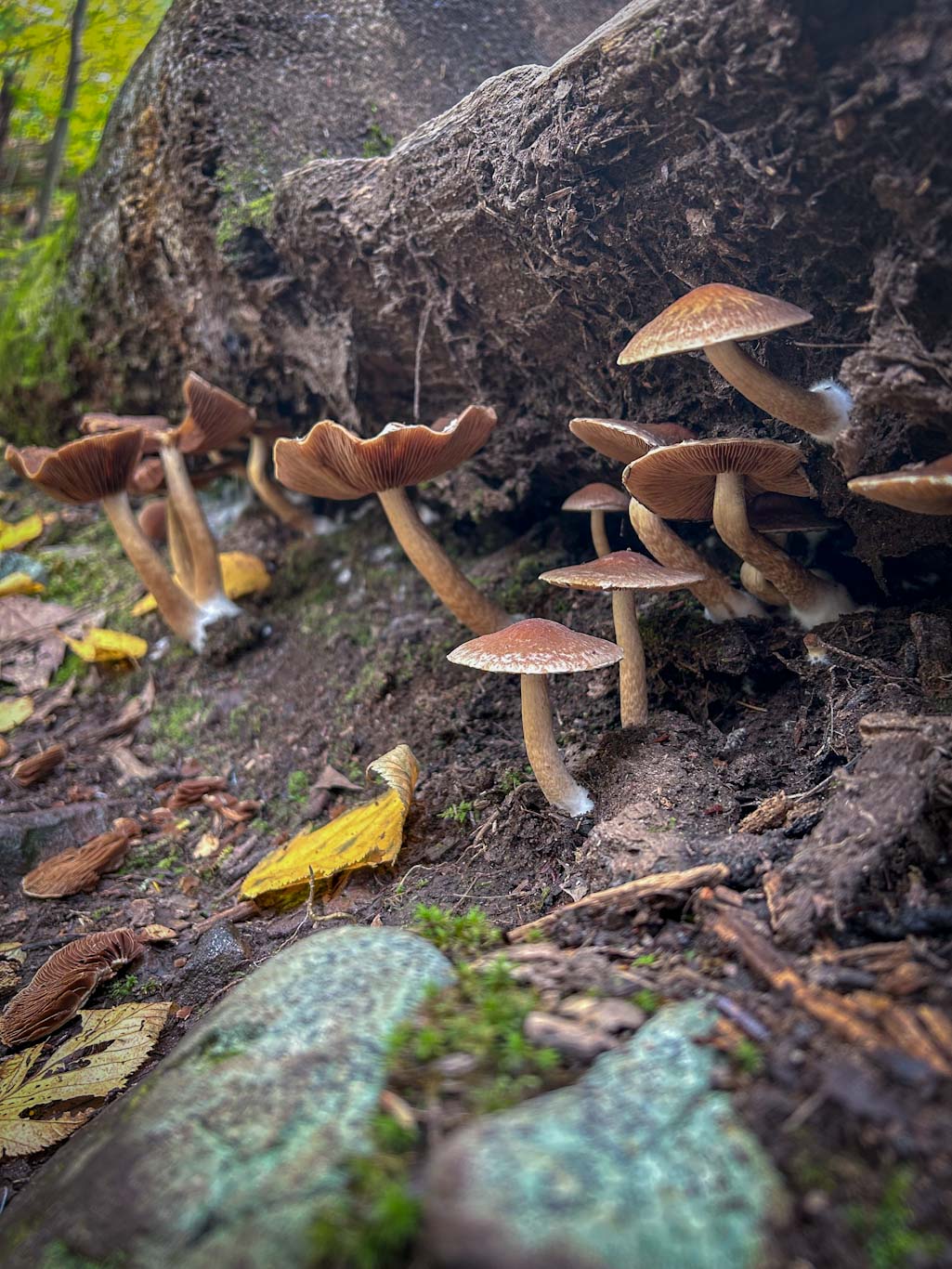
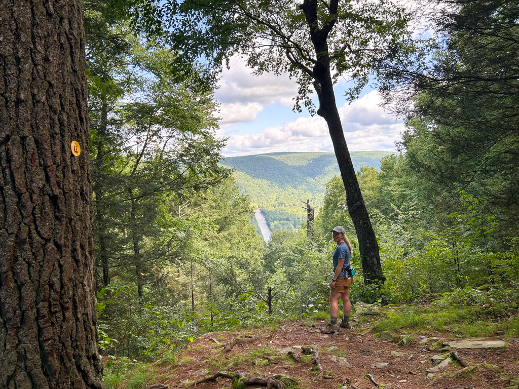
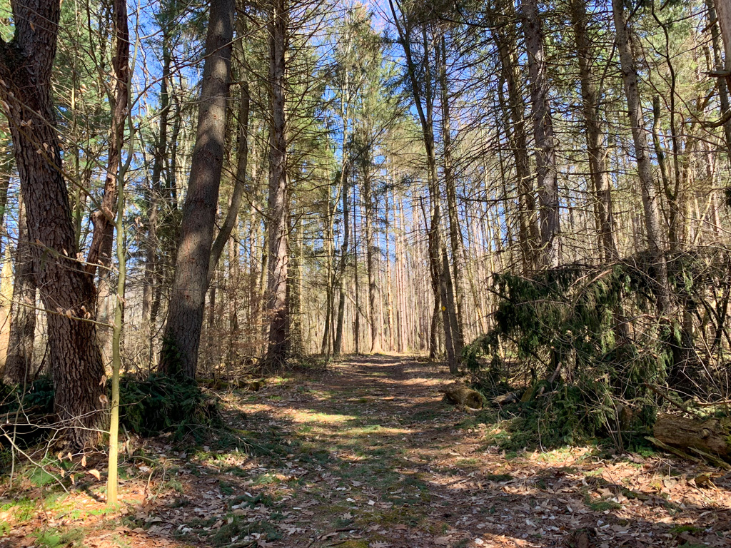
The Route: This route combines several of the trails for a 5-mile loop that includes wetlands and ends around the lake. From the beach parking lot, head toward Keystone Park Road. You’ll start out on the Davis Run trail which actually begins across the street, opposite from the lake. The road is not very busy but still cross with care. Get on the Davis Run Trail marked with blue diamonds. Our route combines the Davis Run Trail (blue diamond), McCune Trail (yellow diamond), and Strawcutter Trail (green diamond) for just under three miles before crossing back over the road. These trails are intersecting so there’s plenty of opportunity to lengthen or shorten your outing. During the first half of the hike, you’ll pass by marshes so keep an eye for wetland species like skunk cabbage in the early spring. The trails abound with ephemeral wildflowers in the early spring. These trails also loop through hardwood forests and then through tall pine trees. At the end of the wetland loop, cross back over the road to complete the 2 miles Lakeside Loop (no blaze). The section around the lake is a wide flat path that is a great option for strollers or those with mobility issues. Add on the 0.3-mile Pine Trail (no blaze) for a short trek off the Lakeside loop into the towering pines. The Lakeside Loop also passes by the lakeside campground and then crosses the dam. To the right is the boat launch and kayak rental. Cross through the parking lot to pick up the trail again. Along the north side of the lake, you’ll pass by several pavilions and picnic tables which are perfect for a post-hike snack. Complete your hike by following the trail back to the beach parking area.
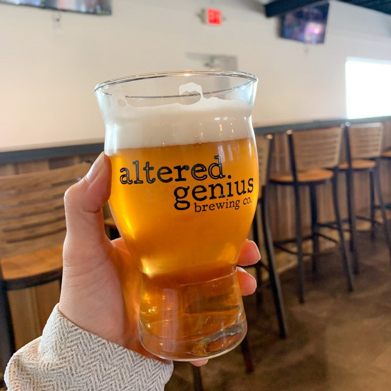
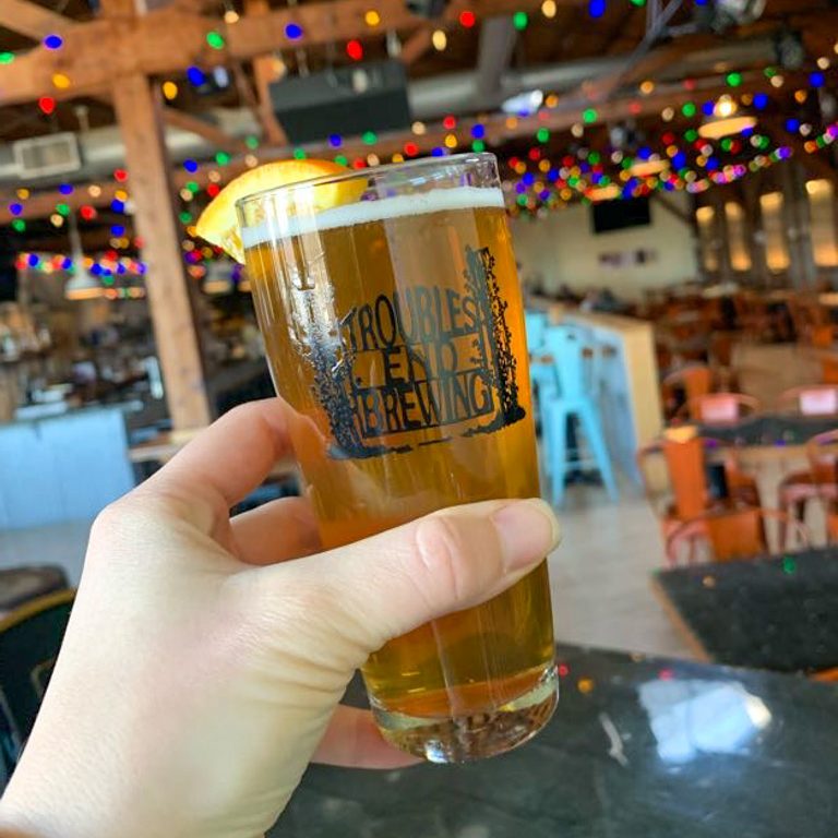
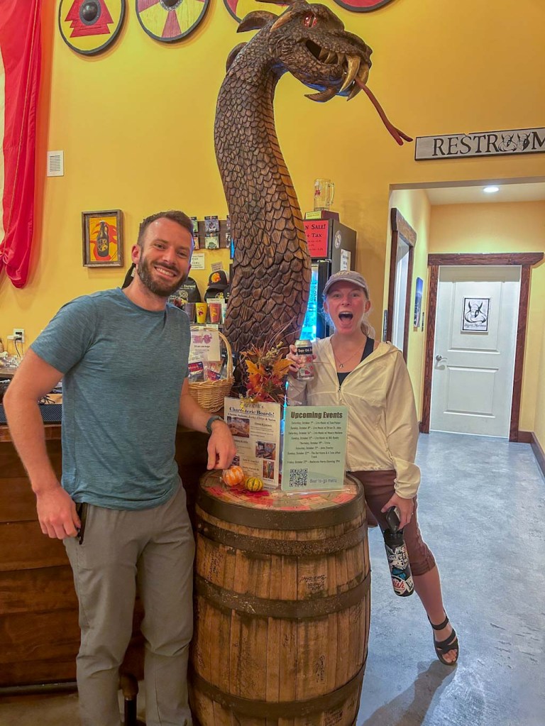
THE BEER: Yellow Bridge Brewing
Address: 2266 PA-66, Delmont, PA 15626
Distance from Trail Head: 12 miles, 17 mins
Website: https://yellowbridgebrewing.com/
Food?: in-house Pizza
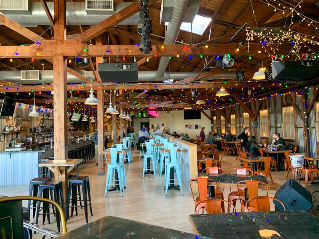
Details: Indoor seating, bar games

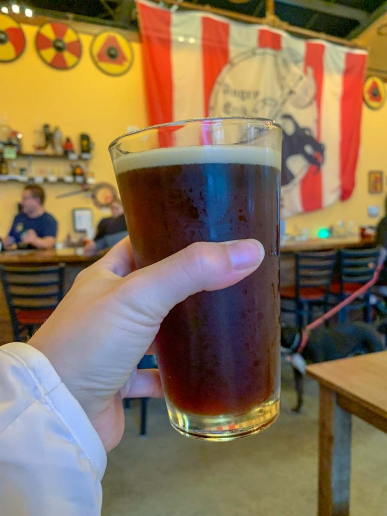
Yellow Bridge Brewing opened in 2016 by two brothers who decided to take their homebrewing to the next level. Today, there are two locations: Delmont and Greensburg. You can usually find a range of 10 homemade brews on tap along with local wines and ciders. Yellow Bridge has a main line up of 6 core beers that are made pretty consistantly and then peppers in more unique seasonal and one-off barrels. The original Delmont location is off PS-66 which can make the parking lot a wee bit difficult to get into but trust me it’s worth it! The inside is a wide open with tables and the bar on one side and the other open to the brewing equipment.
I’m not usually one for the heavy IPAs but Sebastian, the Double IPA was definitely a favorite. It was smooth with a tropical aroma and went down a little too easy for 8%! Thankfully the in-house pizza menu has some tasty offerings.
Our Beer:
- Sebastian – Double IPA – 8%
- London Porter – Porter – 5%
- Little Dude – 5.4%
- YB Lager – 4.8%