Bozeman, Montana
Last week J and I took our first vacation in two years! We spent a week hiking through Yellowstone and Grand Teton National Parks. While we got some amazing hiking in there aren’t too many breweries nearby, so we had to get our Hikes & Hops on during our weekend after flying into Bozeman. J’s cousins live there and they were so gracious to take us on a beautiful hike and share one of their favorite breweries with us. It was the perfect way to start out our trip!
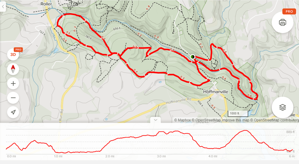
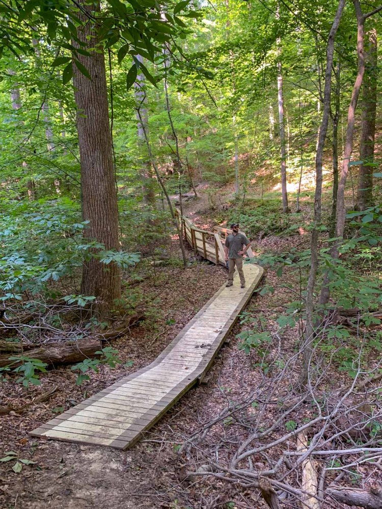
THE HIKE: Middle Cottonwood Trail (Bridger Mountains)
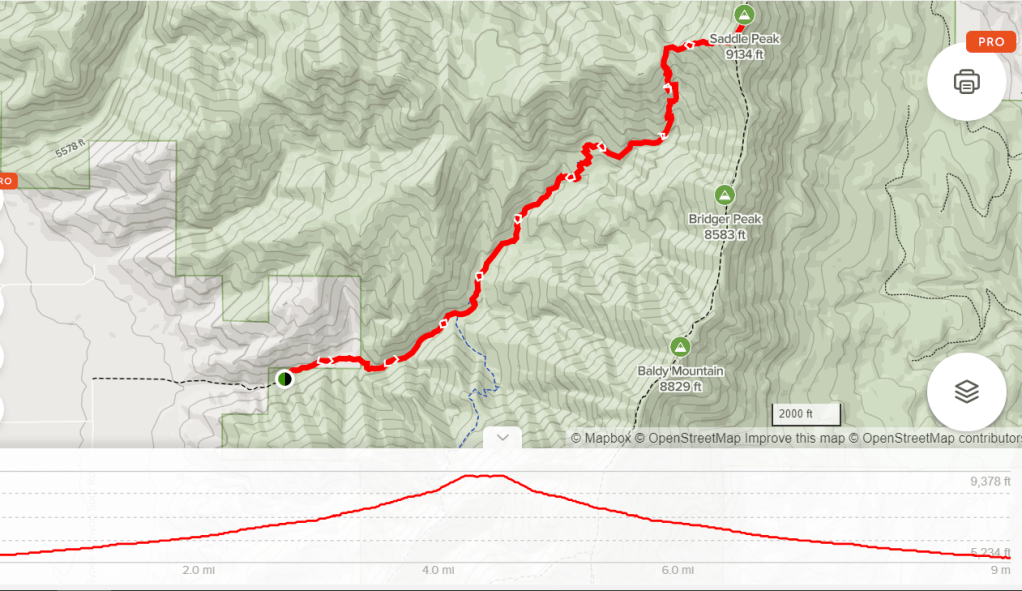
Length: 5 miles
Elevation Gain: ~1000ft
Difficulty: Moderate
Time: 3 hours
Trail use: Hikes, Pets, biking
Parking: Small lot at trailhead with additional pull offs along road
H&H: 5/5
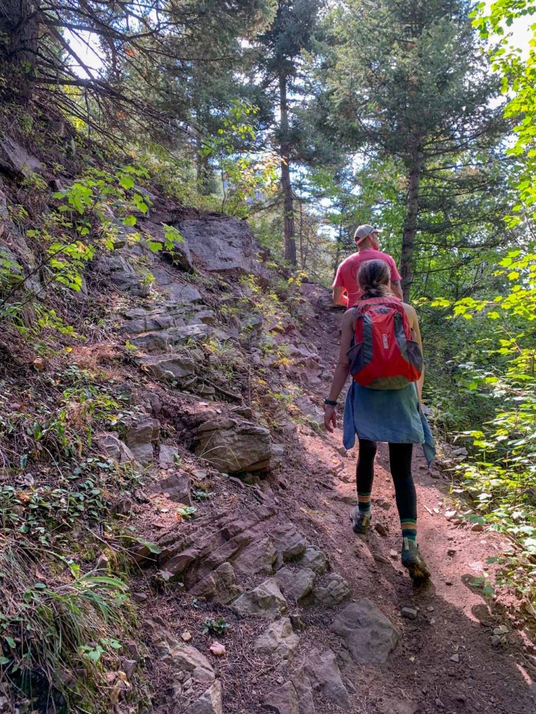
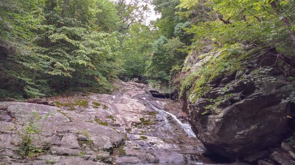
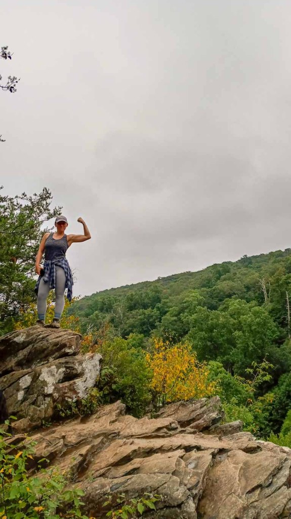
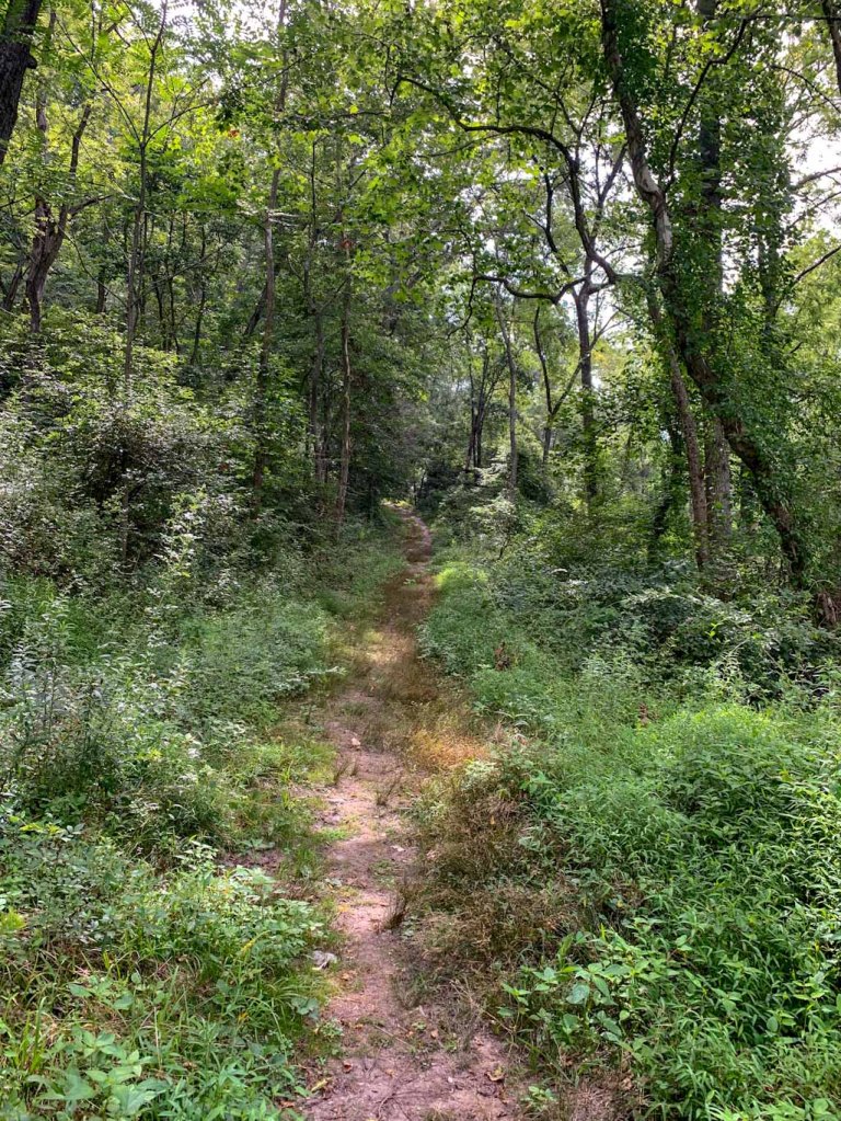
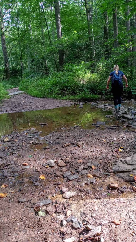
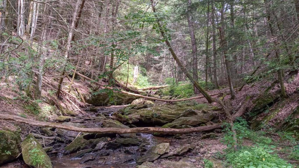
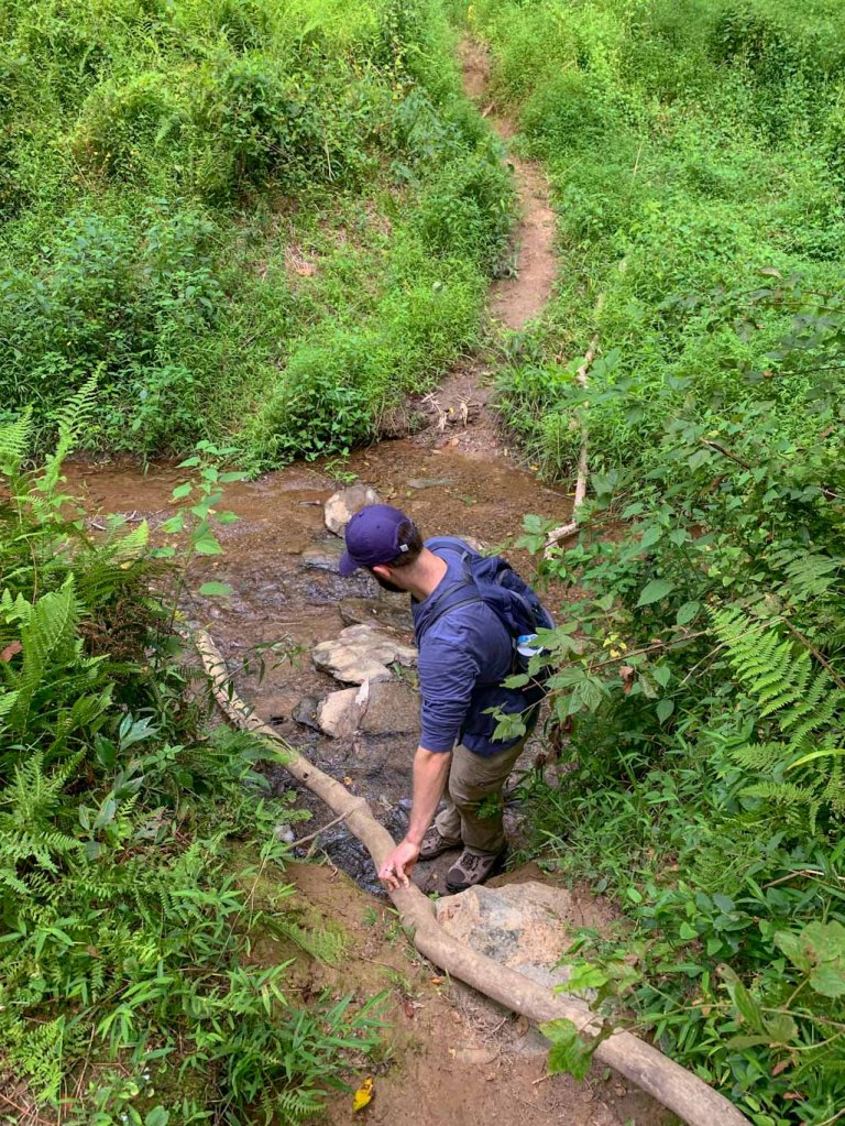
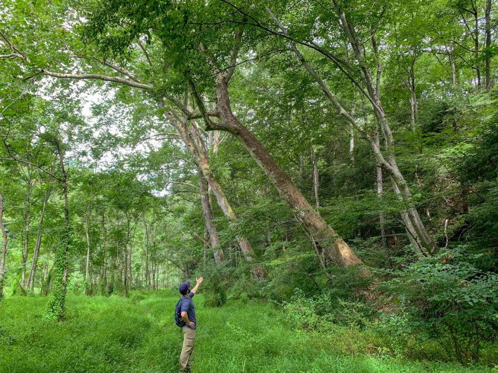
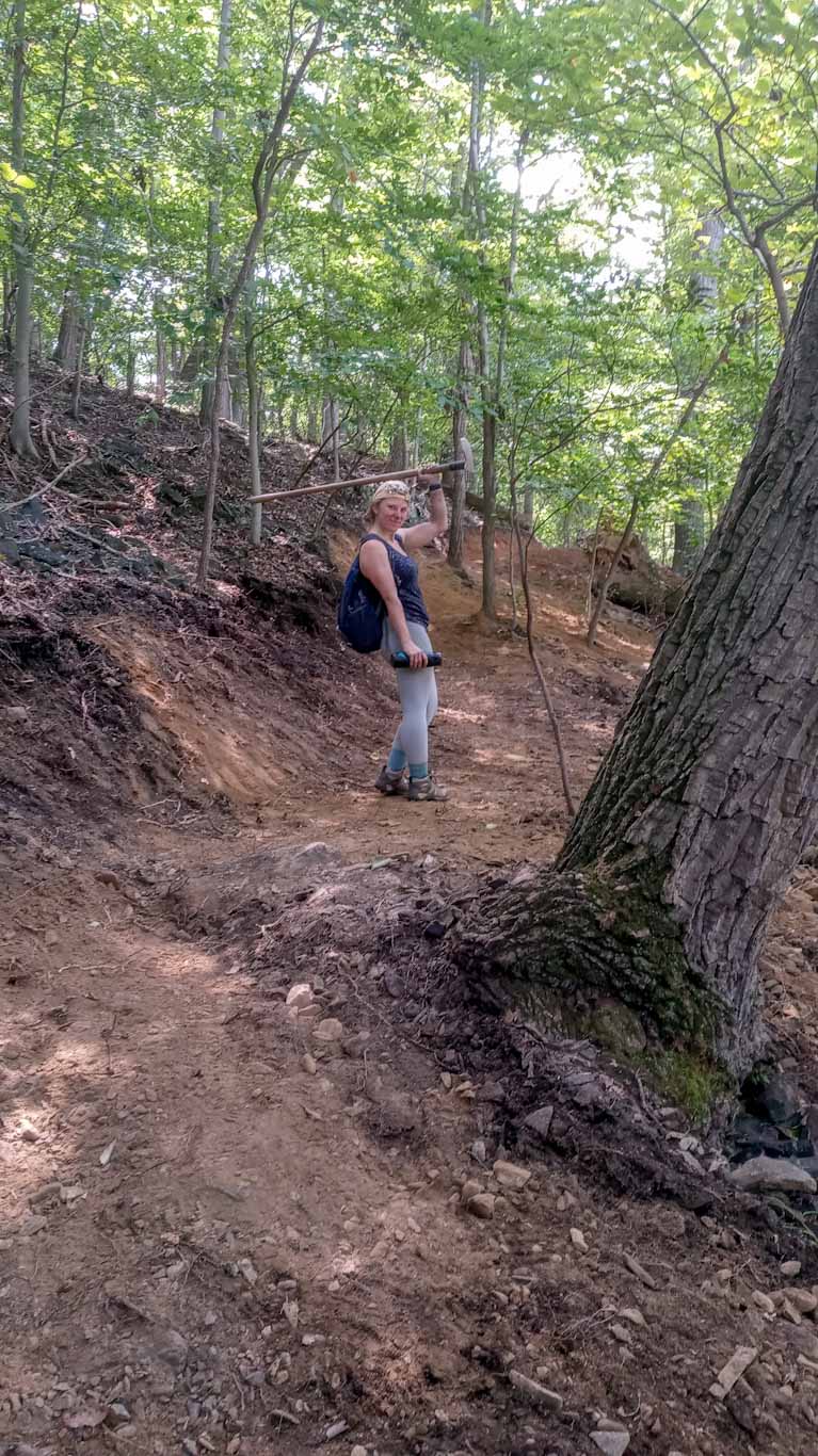
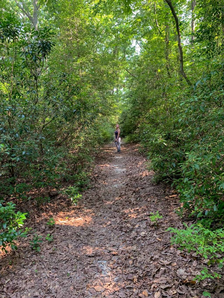
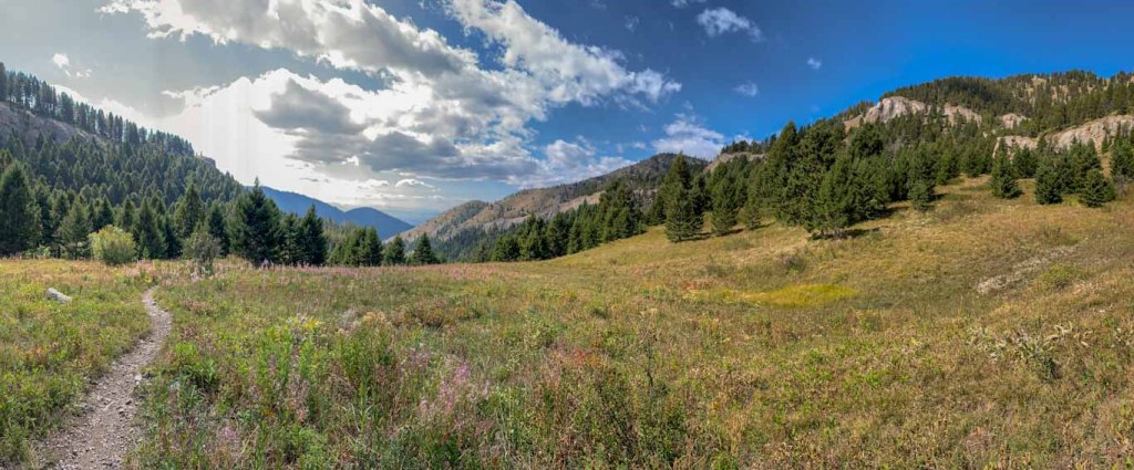
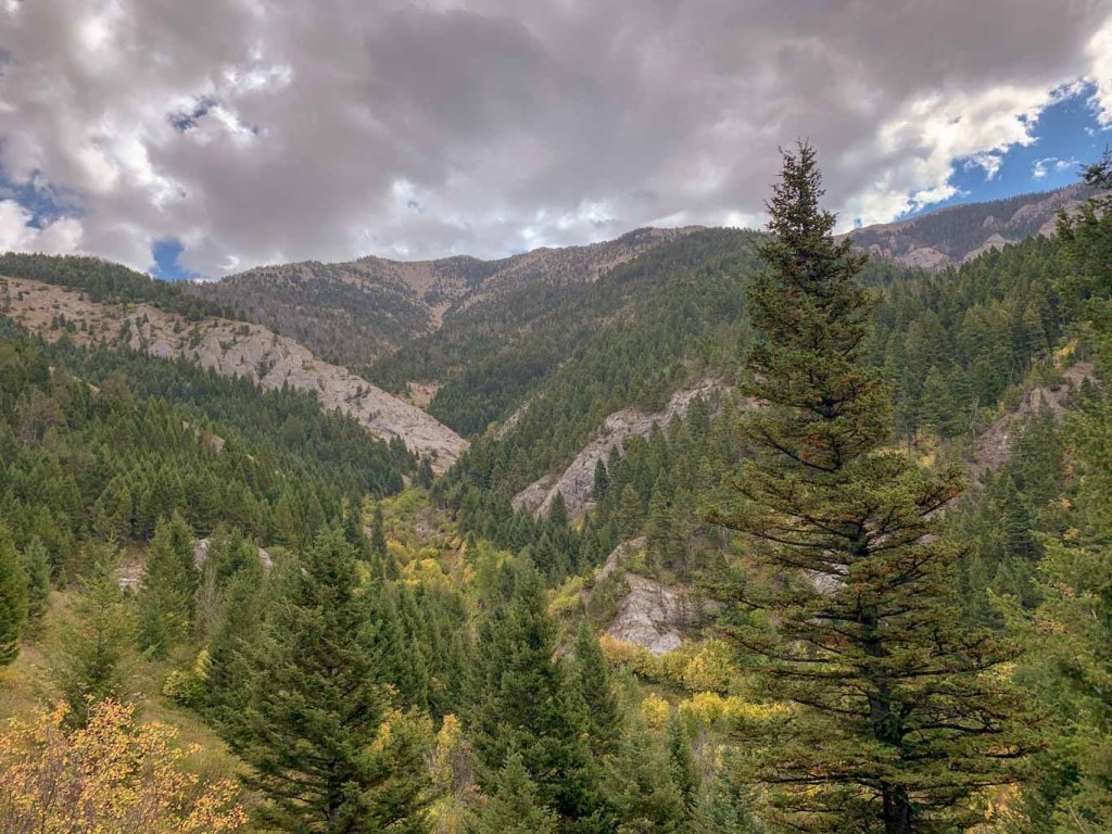
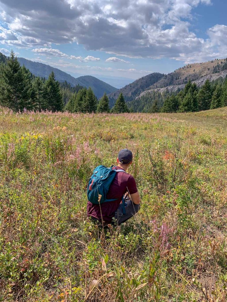
Before this trip, I had never been west of Chicago so I thought the mountains I had seen in Shenandoah and Catoctin National Parks were pretty amazing. Well nothing could have prepared me for the sheer beauty of the Rocky Mountains. Bozeman sits on a vast plain between jutting peaks of mountain ranges. For this particular hike, we trekked out into the Custer Gallatin National Forest which encompasses the Bridger Mountains. While we didn’t trek all the way up to a peak, we did get some amazing views on this trail. We took the Middle Cottonwood trail which can connect up to several other longer treks. We took the trail about halfway up to Saddle Peak and decided to turn around at a wide clearing to make about a 5-mile out and back. If you want to continue on to the peak, it’s a pretty difficult trek with a lot of elevation changes. We decided to save our energy for our week in Yellowstone, especially since we could already see a beautiful vista.
One of my biggest concerns about our trip was adjusting to the elevation. We currently live at about 30ft above sea level so flying into Bozeman (which is about 5,000ft) was quite a difference. I didn’t really feel too much until we took on this hike. I am by no means a fast hiker but I like to think that I’m pretty in shape. Man, did this hike humble me! The steady incline and lighter air definitely had me gasping for air at some points! J’s cousins insisted that we did really well but I think they might have been flattering us. The amazing scenery along the way though made up for the tightness in my chest. This trail rambles along the Middle Cottonwood Creek incorporating some easy stream crossings. My favorite! All along the way we met other friendly hikers and even more friendly dogs. When you live in a place like Bozeman, how could you not want to get out on the trails every chance you get?!

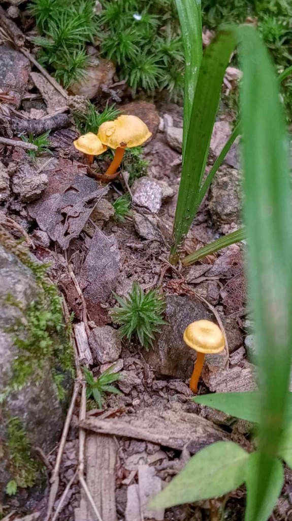
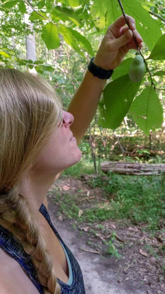
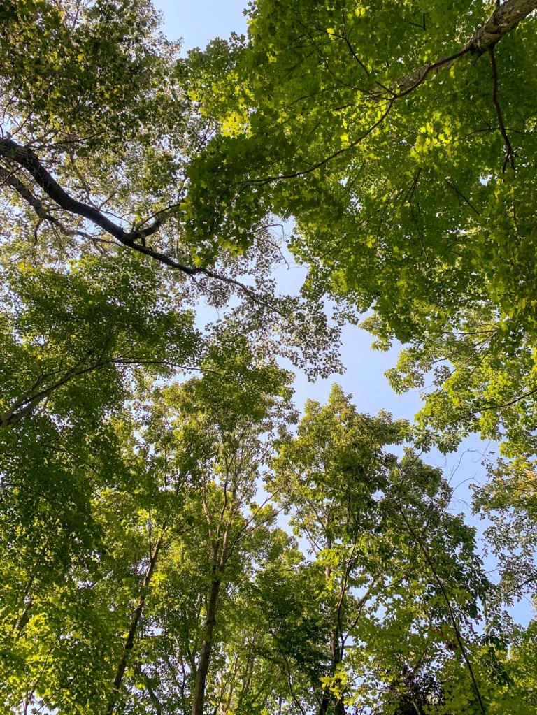
This hike was so different than the kind we usually get to do in Maryland, which made it such a fun challenge. I loved all of the stream crossings and seeing the leaves already starting to change on the trees. It was also so peaceful to rest in the clearing at our turn around spot and see so many different plants and wildflowers. We truly could not have asked for a better introduction to Montana!
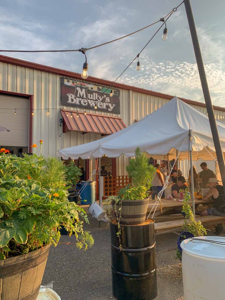
THE BEER: Mountains Walking Brewery
Address: 422 Plum Ave, Bozeman, MT 59715
Distance from Trail Head: 10 miles, 22 mins
Website: http://www.mountainswalking.com/
Food?: Full Menu
H&H Rating: 5/5
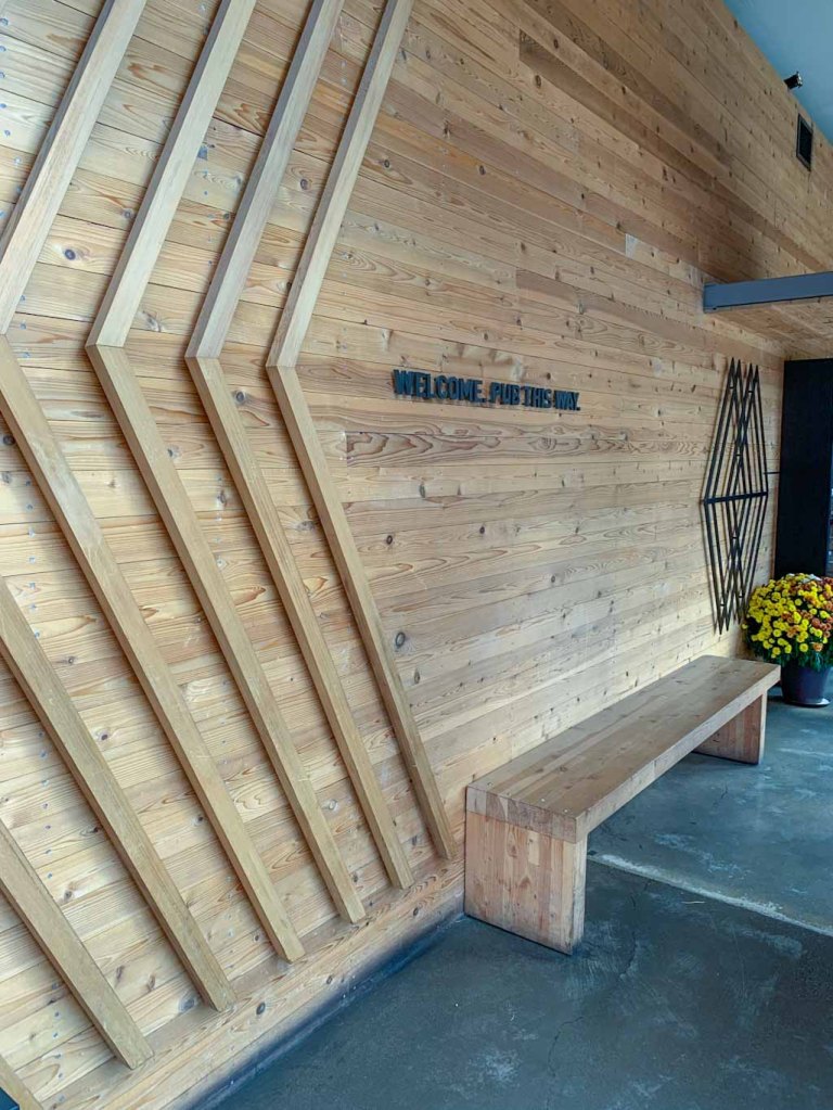
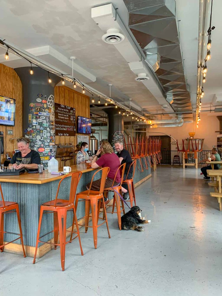
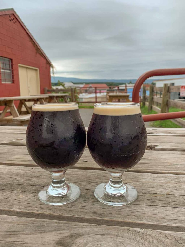
Guys, Bozeman has SO MANY breweries! It’s really not a big town but it had at least seven different breweries. We let the locals pick the perfect place and they decided on Mountains Walking Brewery in the Brewery Historic District. This was perfect because it also has a full kitchen and all that hiking made us hungry!
I could not believe the amount of beers that MW had on tap. I had barely finished reading the list when the waitress was already asking for my order. The taplist also features beer from founder and lead brewer Gustov Dose’s other brewery concept New Hokkaido Brewery. Having grown up in Taiwan and Japan, Dose creates beer that combines Japanese brewing with modern influences of the craft beer scene in Bozeman. Needless to say, I was very intrigued and got a hazy IPA that was made with rice as one of the main grains. It was delicious and I definitely should have gotten a flight of all the New Hokkaido beers! Ah well, next time.
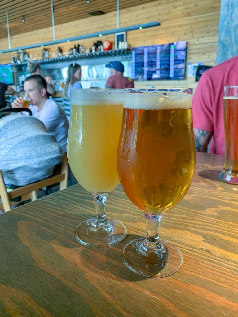
We had a really great time at Mountains Walking! We had amazing beers, my favorite being the Grazing Clouds, a Hazy IPA made with locally grown oats. We also got some pretty stellar food, including a pizza with goats cheese and beets and Tachos, yup that’s nacho tater tots. Pretty life changing! All in all, I was really impressed with Mountains Walking Brewery and I can see why it’s one of the highest rated breweries in the area.

Our Beer:
- Junegrass – American IPA – 6.5%
- Grazing Clouds – NEIPA – 7%
- Chopping Wood – Festbier – 6%
- Yabai Tanuki – NEIPA – 6.5% (New Hokkaido Brewing)
SUM UP: All in all, this was such a great intro to Bozeman and the Rocky Mountain region in general. One of the best things about traveling is getting the insider scoop! We were so lucky to have family in Bozeman who showed us around and took us on such an amazing Hike & Hop. They were amazing hosts and even treated us to a campfire dinner at the stunningly beautiful Fairy Lake. We couldn’t have asked for a better start to our National Park adventure. More to come in the future!