Beaver County, PA

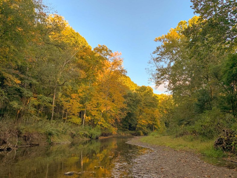
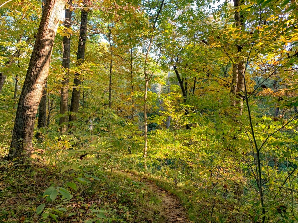
After several months of weekend trips, Hikes & Hops was happy to finally do a local hike. Raccoon Creek is one of my favorite state parks near Pittsburgh. Despite having hiked many miles here, I always end up back at the Wildflower Preserve. While this is stunning in the spring, I also highly recommend a fall visit for those beautiful autumn wildflowers and the warm colors along the creek. This was a perfect hike to do after work followed by a beer at Fermata Brewing in Ambridge!
THE HIKE: Wildflower Preserve Loop
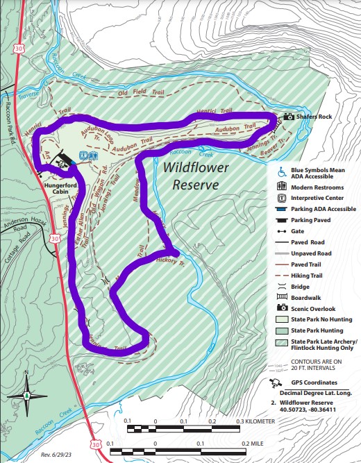
Length: 2.4 miles
Elevation Gain: 187 ft
Difficulty: Easy
Time: 1 hour
Trail use: Hiking Only, no biking, no pets
Parking: Large lot at trailhead, bathroom facilities in office
H&H: 5/5
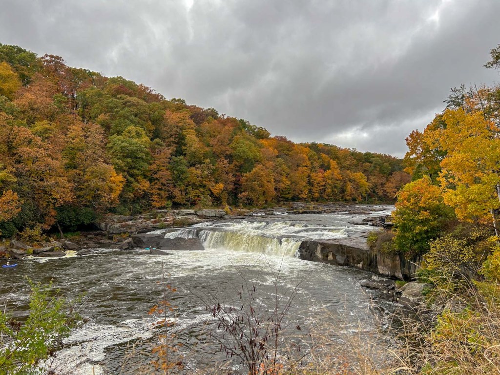
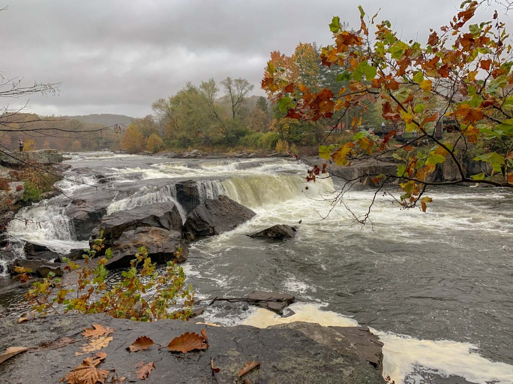
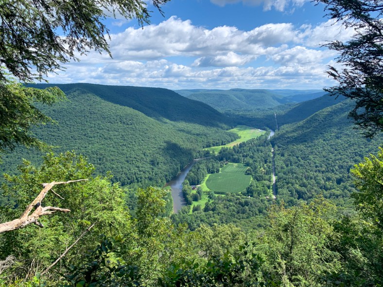
Raccoon Creek State Park is one of the biggest state parks in Pennsylvania! At over 7,000 acres, it boasts 44 miles of trail, a 100-acre lake open for fishing, boating, and swimming, and multiple campgrounds and picnic areas. No wonder it’s so popular! While in summertime, Raccoon Creek State Park is quite busy at the lake, my favorite time to visit is during the spring and fall. Raccoon is famous for its Wildflower Reserve which has some of the greatest biodiversity of wildflowers in the whole state. In fact, along just 4.5 miles of trail, there are over 700 species of plants. Wildflower blooms peak in late April through early May and then again in August through early September.
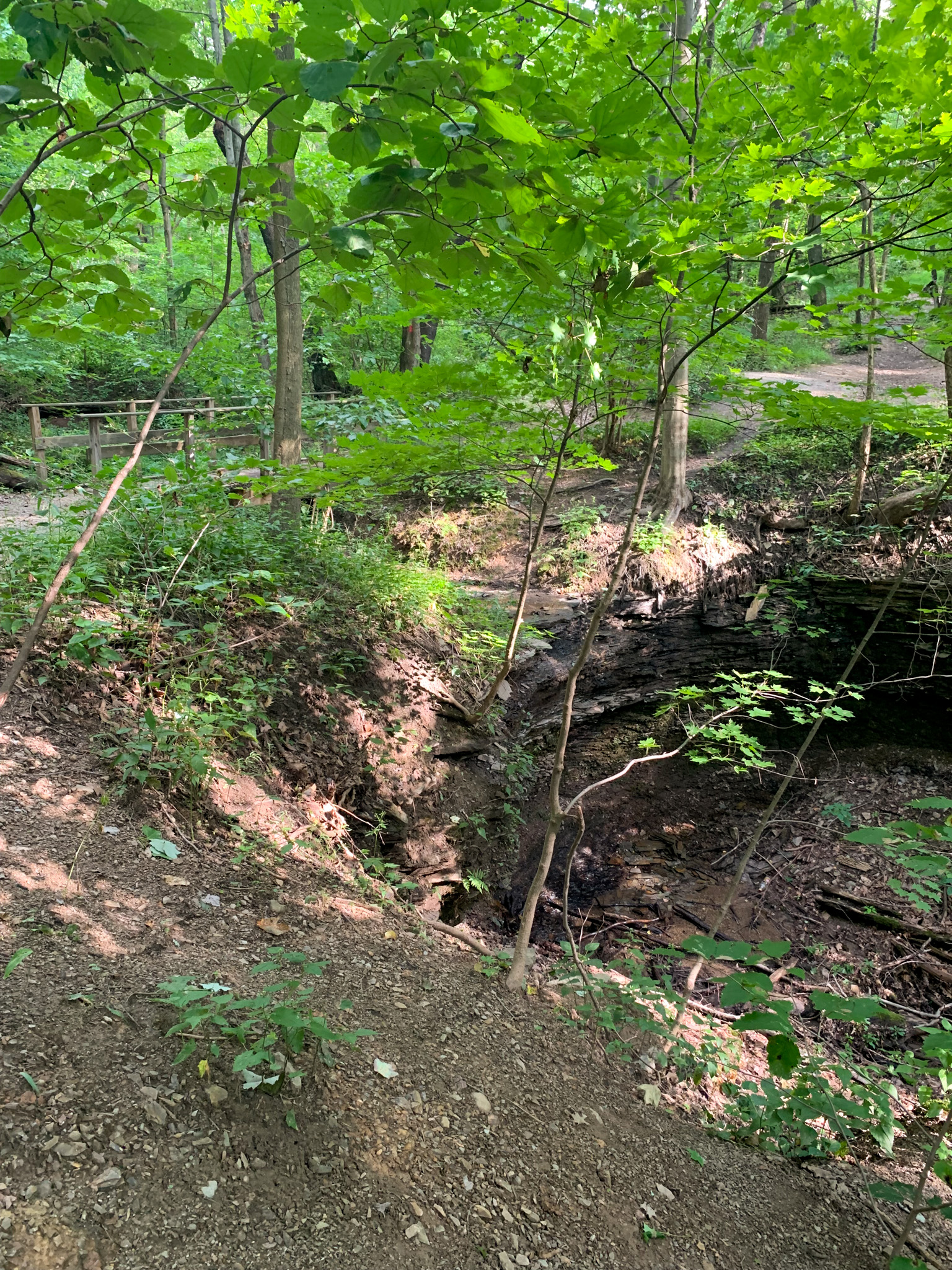
The wildflower preserve gets a lot of attention in the Spring, but I think there’s a lot of beauty to be seen in the Fall as well! During this time of the year, keep a look out for goldenrod, asters, and more. In early October, the lowlands along Raccoon Creek were also stunning with bright yellows and oranges emerging in the trees. This is also a great area to look for mushroom and amphibian friends!
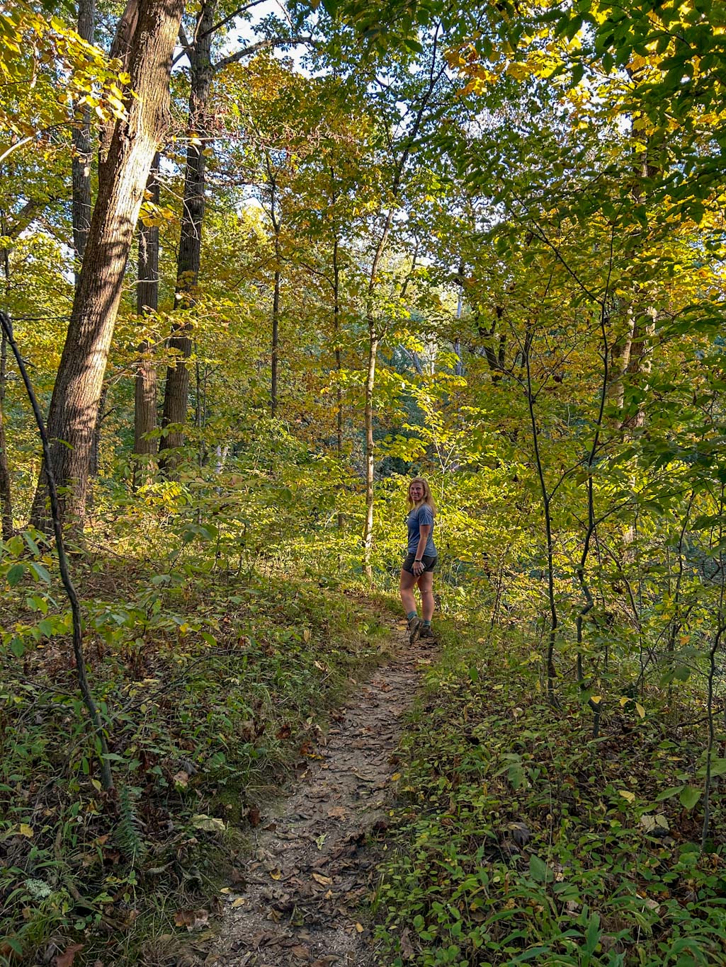
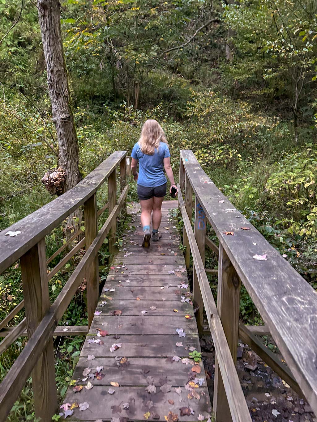

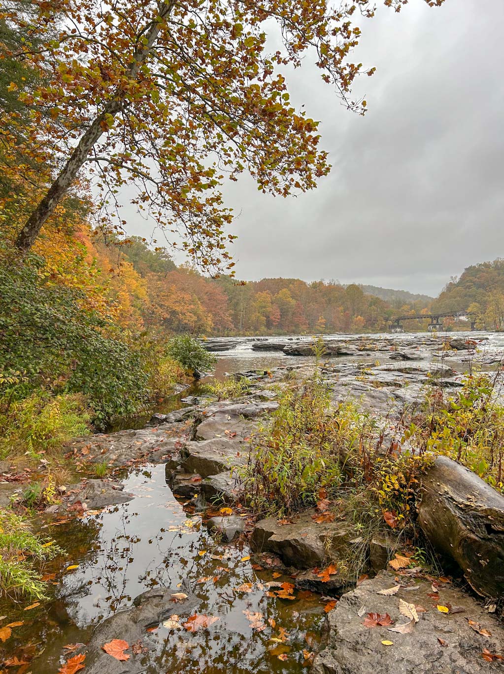
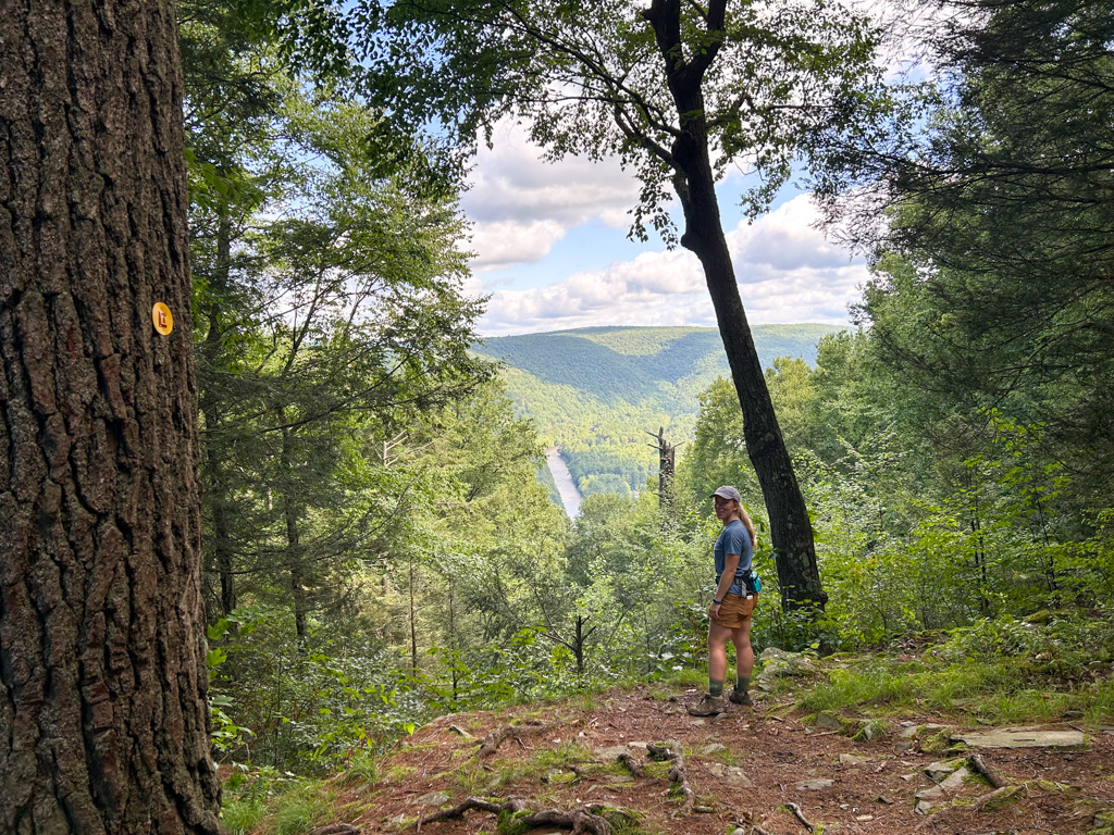
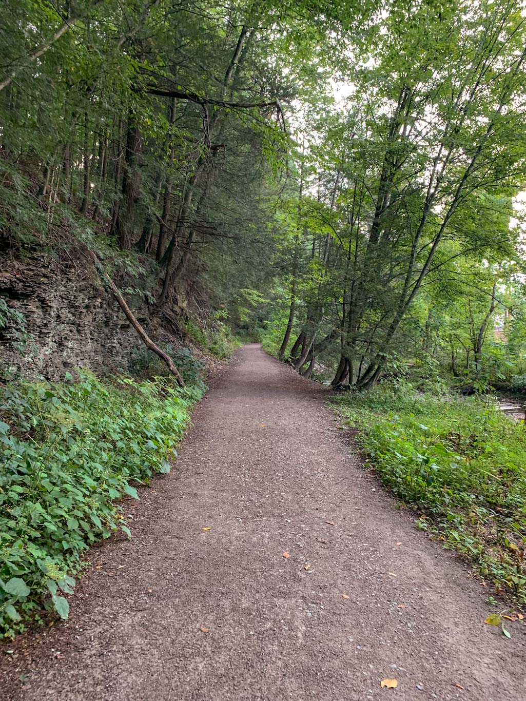
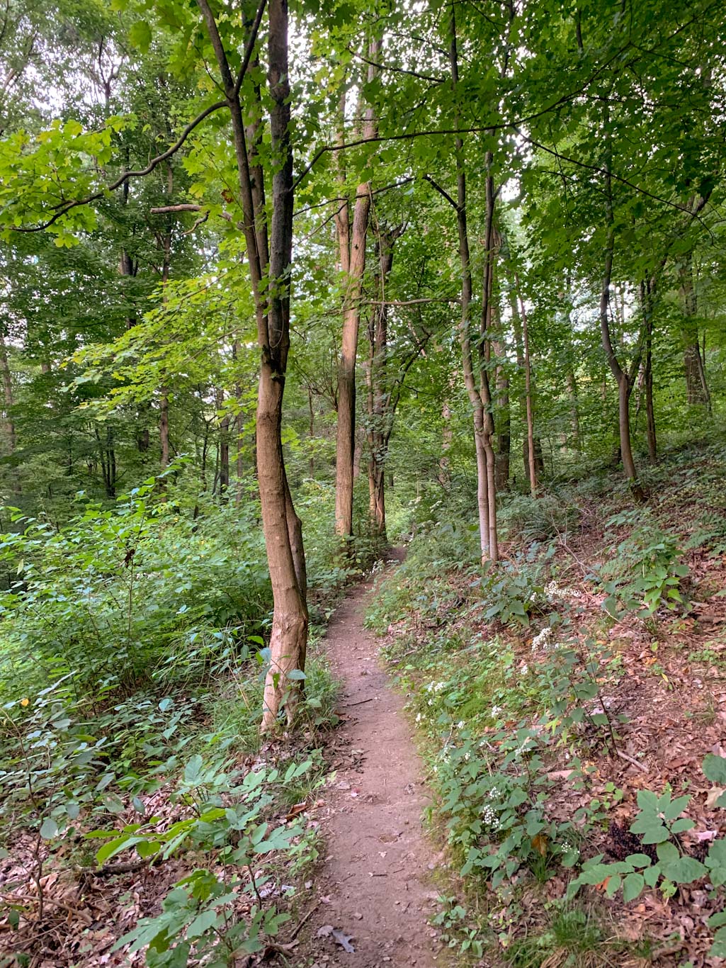
From the parking lot, there are several trails that can be taken. My preferred path is to start on the Jennings Trail which starts uphill towards the Hungerford Cabin. After passing the cabin, the trail heads into the forest and circles downhill toward the creek. Eventually, turn to the right to get on the Meadow Trail to reach the creek. There’s an easy spot to go out onto the creek bed and skip some stones or just take in the enormous trees. Eventually the Meadow trail rejoins the Jennings trail for a short while. Finally turn left on the Max Henrici Trail to ascend back up the hill and complete your loop. This is a great easy trail to see a lot in a short trek. If this wasn’t quite enough for you, head further into the park and check out the Mineral Springs waterfall or the Lake loop.
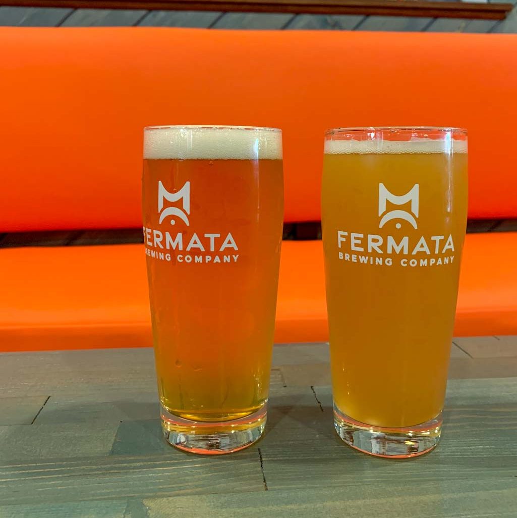
There aren’t very many breweries near Raccoon, so I’d suggest hopping over to Ambridge to put your feet up at Fermata Brewing Company!
THE BEER: Fermata Brewing Co
Address: 918 Merchant Street, Ambridge, PA 15003
Distance from Trail Head: 21 mins, 13 miles
Website: fermatabrewing.beer
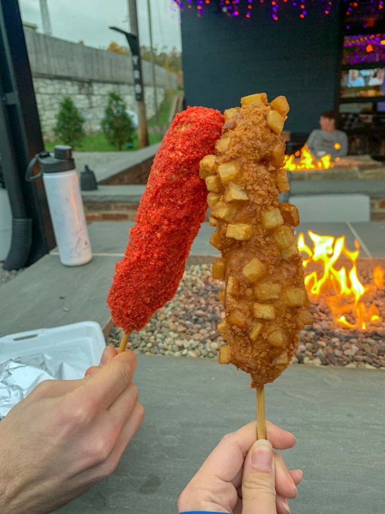
Food?: Food trucks or BYOF
Details: indoor seating only, frequent live music
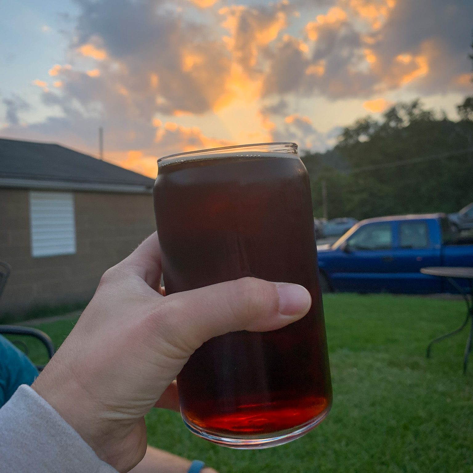
Somehow it has been over a year since we visited Fermata! Fermata Brewing is the newest addition to the Ambridge Brew scene having opened back in March 2022. The place is still jamming (literally) and pouring some fantastic beers!
The name Fermata is actually a musical term, which is fitting since all of the partners are music lovers! In written music a fermata is a “pause of unspecified length over a note or rest”. This is a fitting name for the brewery because it invites everyone to pause and stay for a while. Fermata wants to be a place of community in Ambridge where everyone is welcome to come and enjoy great beer and great community. Sign me up! Fermata also pays homage to the history of Ambridge and the American Bridge company from which the town gets its name. The brewery incorporates both the fermata symbol and a bridge in their logo as a shout out to their origins.
One thing I really loved about this place was the immediate sense of chill when we walked in. There were so many places to sit and relax and we felt welcomed by the staff. The decor is so cool, with photos and maps harkening back to the old days of Ambridge side by side with classic music records and memorabilia. I also love that the brewing area is right out in the open! If you’re a music lover, this is the place to be! On the Saturday night we visited, the place was packed and a live band had everyone jamming. Keep an eye on their social media to stay up to date with upcoming shows!

Our Beer:
- Jambridge – Marzen – 5.8%
- Autumn Leaves – Brown Ale – 5.4%
- Groovitational Pull – Brut IPA – 6%
- It Was All A Dream – Hazy IPA – 5% (Collab with 412 Beer)
Looking for other hikes & Hops North of Pittsburgh? Check out Wolf Creek Narrows & Big Rail Brewing, North Country Trail: PA Border & Ill Will (in OH), Hell’s Hollow & Shubrew, or Sewickley Height Park & Big Sewickley Creek Brewing.