Collegeville, PA

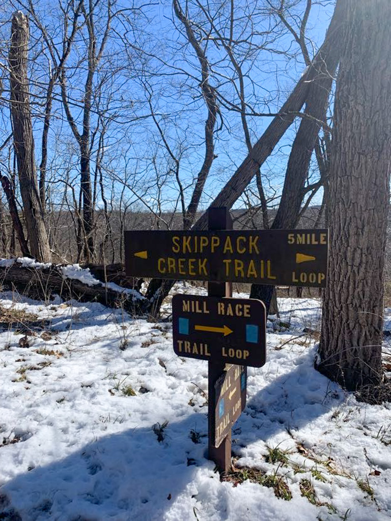
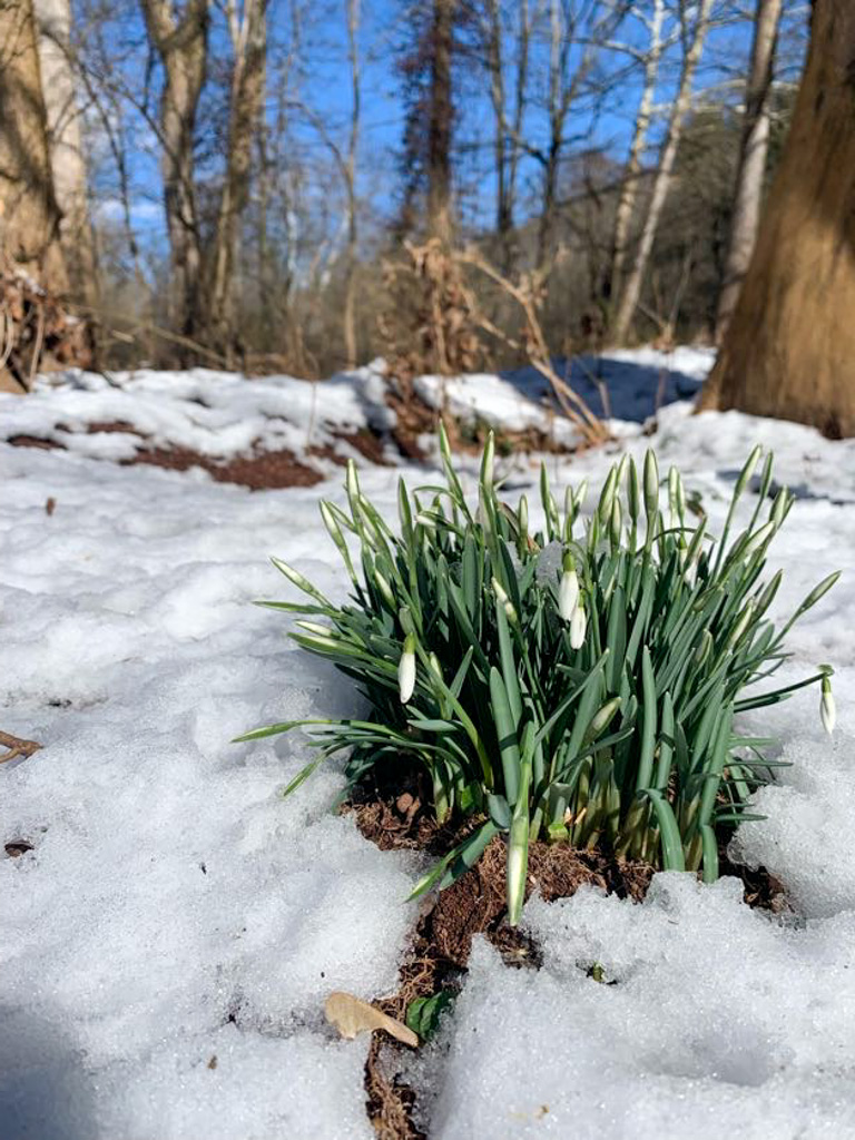
Evansburg State Park is a small state park along the Skippack Creek in Southeastern PA. The full Skippack Creek Loop Trail takes you around the whole park, along the creek’s edge and up along a ridge. Although it was pretty muddy when we visited, this seems like it would be a great place to visit in the drier summer months!
THE HIKE: Skippack Creek Trail

Length: 5 miles
Elevation Gain: 262 ft
Difficulty: Moderate
Time: 2 hours
Trail use: Hiking, Mountain biking, Horseback riding,
Parking: Small lot at trailhead
Find the Parking Lot: Park at Pavilion A off Mayhill Road. Use 40.1980458, -75.4042884 to find the trailhead
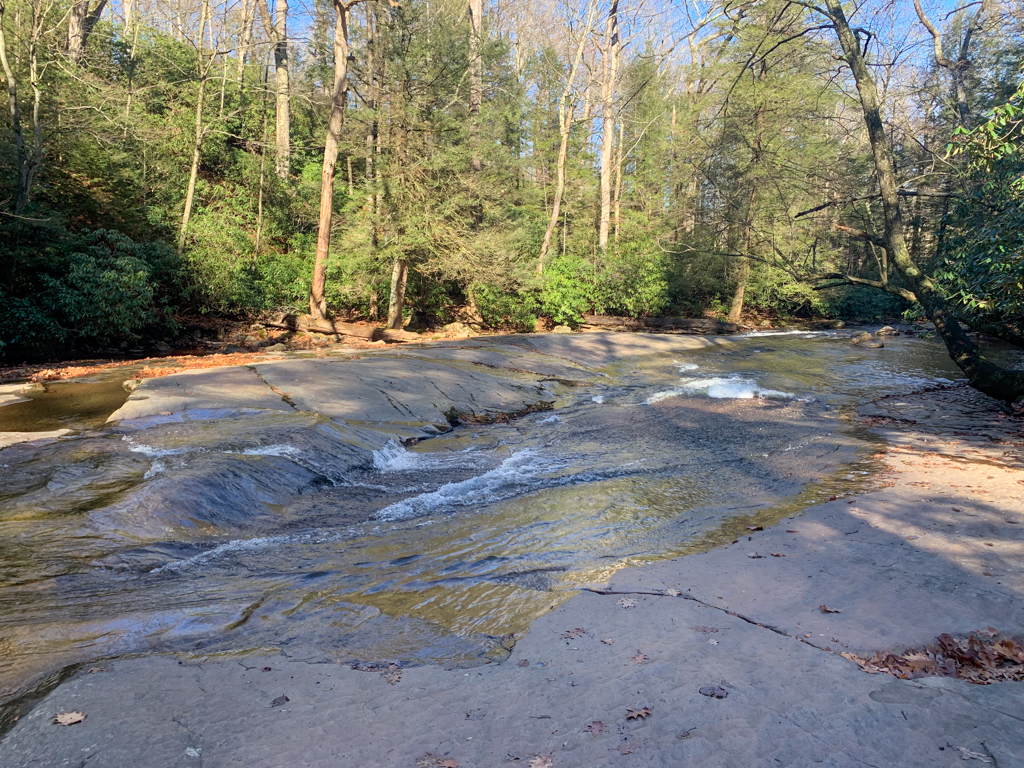
Evansburg State Park encompasses 3,300 acres of green space in Montgomery County, PA. Its main feature is the Skippack Creek, making it a popular spot for fishing. There are 26 miles of trails for hikers, some of which are also open for mountain biking and horseback riding. In the winter, you can still get out on the trails for cross-country skiing.

History
This area was once the land of the Delaware or Lenni Lenape people. Their society spanned most of modern day New Jersey into the PA Lehigh Valley and up to the New York Catskills. Sadly, their matrilineal clans were greatly impacted by European diseases by the time William Penn made his 1684 “purchase” of the American province that would become Pennsylvania. Although WIlliam Penn, a Quaker who founding PA for religious freedom, approached the Lenni Lenape people with peace treaties and payment for their land, his descendents were not so peaceful. In the early 1700s many Lenni Lenape were forcibly removed from their lands in eastern Pennsylvania.
As the population of Philadelphia exploded in the 1700s, the surrounding area also began to grow to support trade and industry. The Skippack Creek valley was connected to the main city by the construction of the Skippack Pike and the 8-arch bridge over the creek. Built in 1792, this bridge still exists today and is one of the oldest continuously used bridges in the state.
The land surrounding the modern state park was once home to German Mennonite families seeking religious freedom in Penn’s new colony. They used the waters of the Skippack to power their mills and remnants of these buildings can still be seen along the creek today.
The Hike
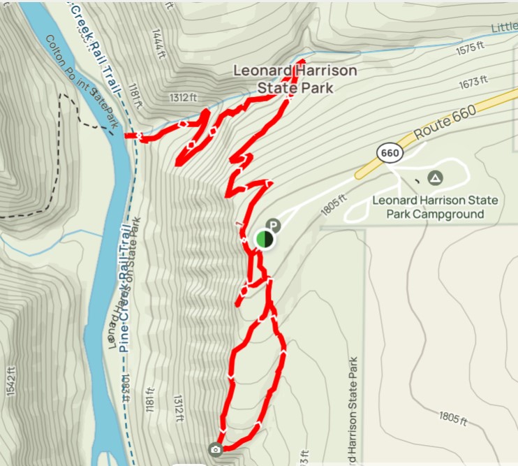
The Skippack Creek Loop is a fairly easy 5 miles loop around the park with only a few difficult uphill sections and two portions on the road. Although you can park at various places through the park to access the point, we parked at Pavilion A where there was sufficient parking and bathroom facilities.
From the parking lot, head down the gravel road until you reach the rounded turn around spot. The trail starts to the left and is marked by yellow blazes with a sign for Skippack Creek Loop. We choose to go clockwise (turning to the left to begin) and this is probably the way I would suggest to begin.
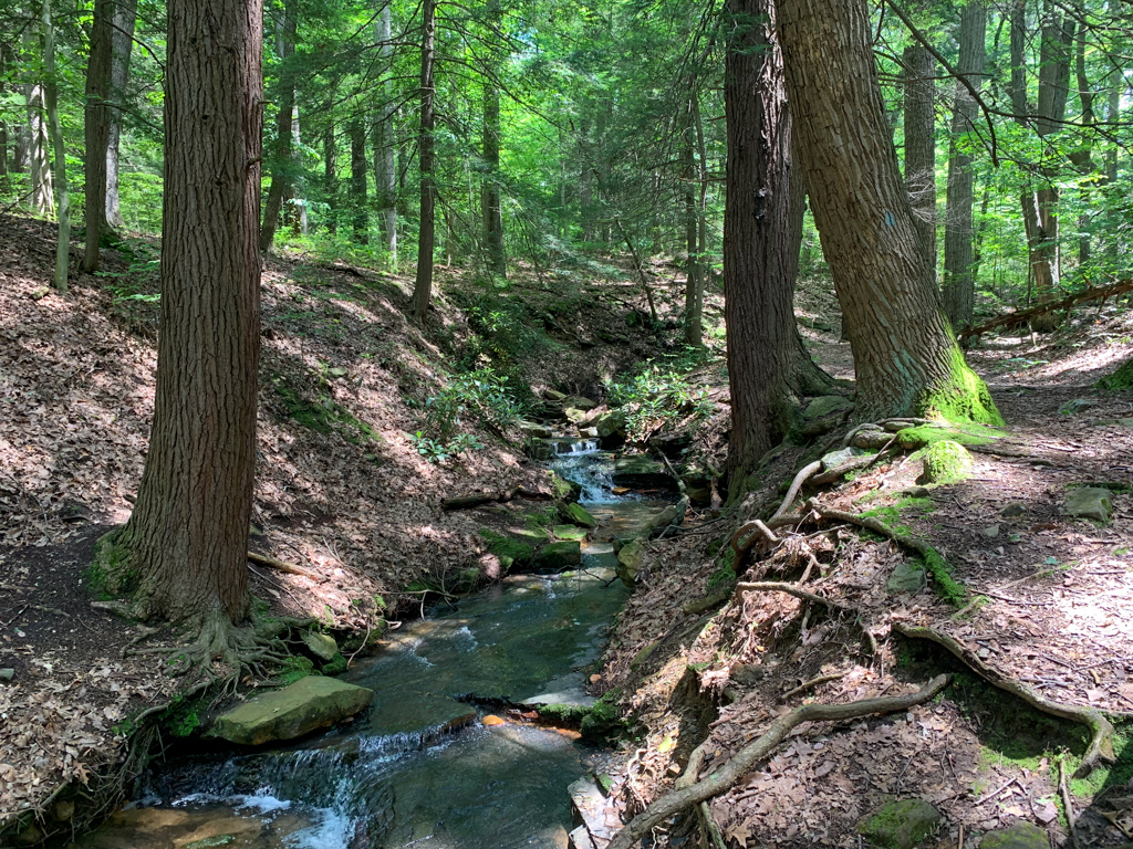
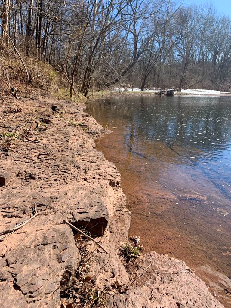
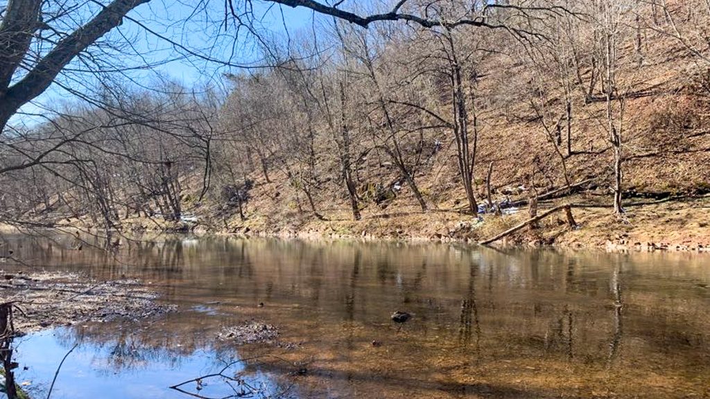
Immediately you’ll head downhill on a single track direct path towards the creekside. Along this route, you’ll cross over several small bridges and the way may be muddy. Continuing along, notice interpretive signs about the geology and wildlife of the area. You’ll stay on the Skippack Loop the whole time so ignore the signs for the Farmstead.

After the trail reaches the river, it gets slightly confusing with horseriders and hiking having created a meandering crisscross of trails. They all lead generally the main directions and following alongside the creek will send you on the right path. About a mile in the hike, there is a stream crossing that could be easy in the summer but in the spring was pretty wide and slightly difficult to cross. We managed to make a couple wide leaps to stones without getting feet wet but this one might be hard for little legs.

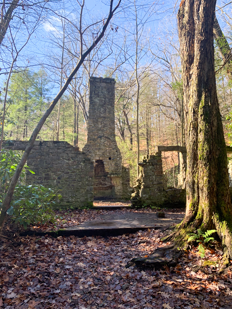
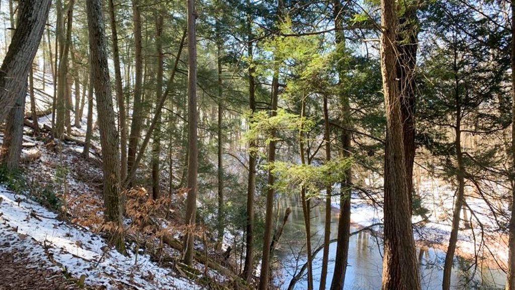
Eventually the trail emerges onto Kratz road and you will turn right to cross the bridge along the shoulder. Be very careful as this is an active road. On the other side of the bridge is another parking area for the trail. The route begins around at the back right corner of the parking lot and heads into a field before descending back into the woods. This side of the creek is much hillier as the trail travels along a ridge overlooking the creek. You’ll also pass by some ruins along the creek which may have been an old gristmill.
Finally the trail lets out onto Water Street Road which you’ll follow for about 0.5 miles. Although this is a quiet street, this was my least favorite part of the hike because there is no sidewalk and only a narrow median before the guardrail. Finally you’ll reach a pedestrian bridge to the right and use it to cross over the creek. Turn to the right to get back on the Skippack Creek Trail and finish the loop.
PA Park Passport: Sticker at kiosk outside the Park Main Office
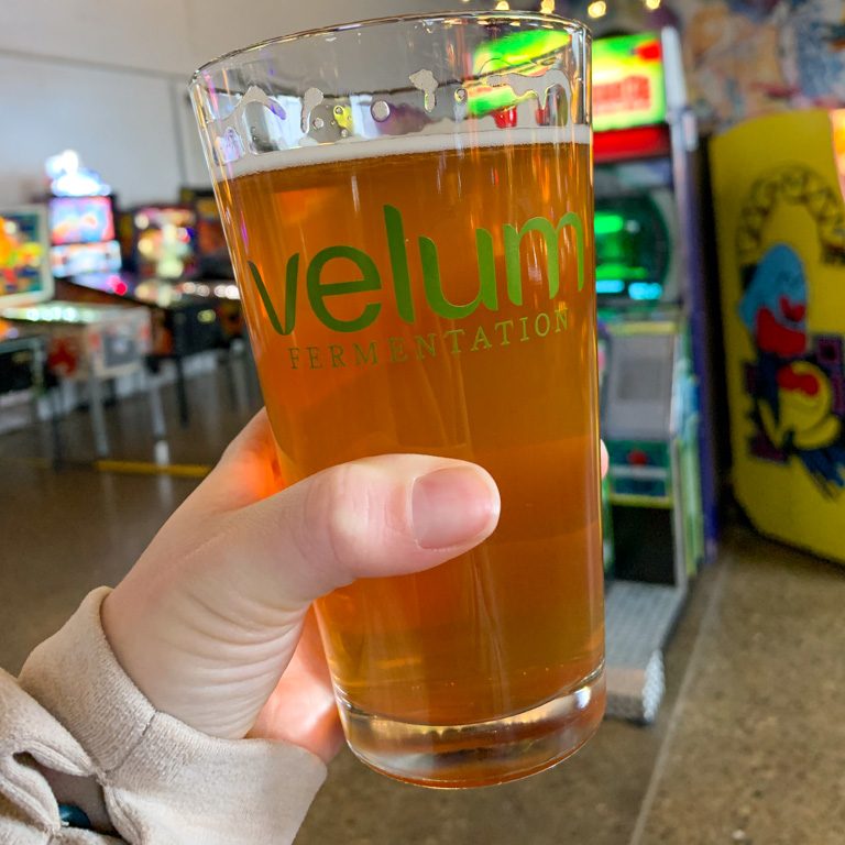
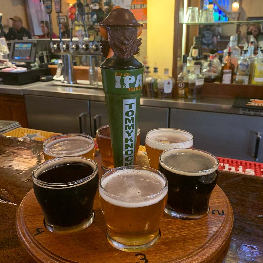
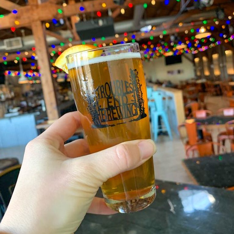
THE BEER: Trouble’s End Brewing
Address: 50 W Third Ave STE 310, Collegeville, PA 19426
Distance from Trail Head: 3.6 miles, 11 mins
Website: www.troublesendbrewing.com/
Food?: Full Menu
Details: Summer beer garden, no pets, live music
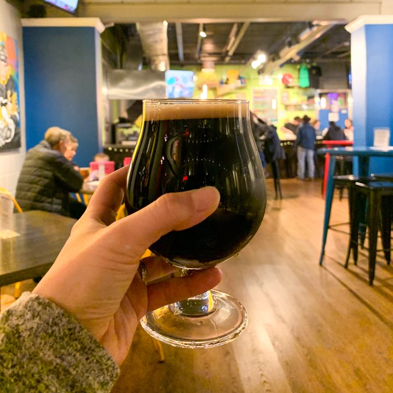
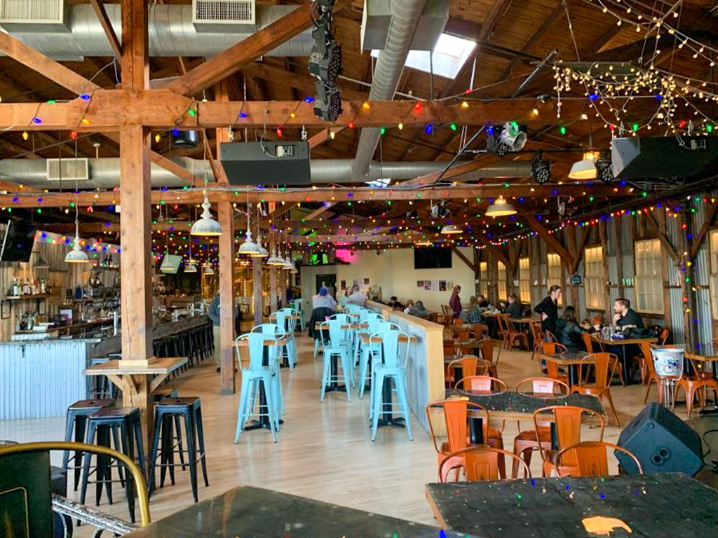
Tucked in the small town of Collegeville, just shy of 4 miles from the state park is Troubles End Brewpub. Located on the top floor of an old industrial building, this pub has some of the coolest vibes I’ve seen. The rustic beams lend to a farmhouse style, but the brightly painted furniture and strings of multicolor lights bring a sense of whimsy. Whimsy is definitely a way to describe their robust beer menu. Full of unique takes on classic styles, you can’t help but notice the interesting tasting notes. While I’m not exactly sure how my porter tasted like “one single piece of salted licorice in a wool coat pocket”, they definitely get an A+ for creativity!
While we didn’t have any food at the pub, they had a delicious sounding menu of gastropub favorites as well as a more upscale entrée list that included wild boar meatloaf and crab cakes. Tucked into the corner of the large space was a stage complete with a flower studded piano. Clearly this brewpub knows how to jam! Check out their events calendar on their website for upcoming shows
Our Beer:
- Conductor – Porter – 5%
- Fallen Branches – Wheat – 4.7%
- The Editor – ESB (Extra Special Bitter)
- Tutto Pils – Italian Pilsner